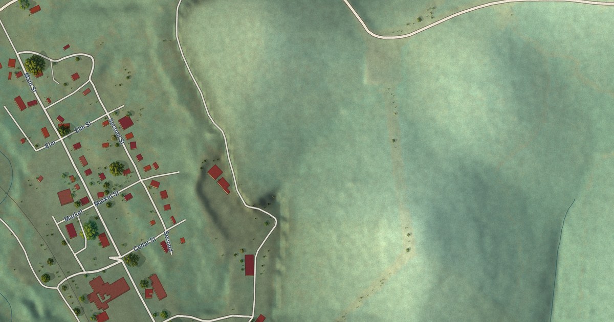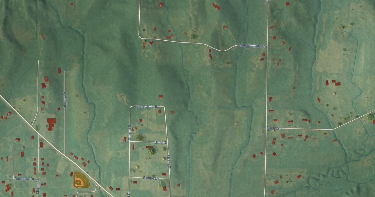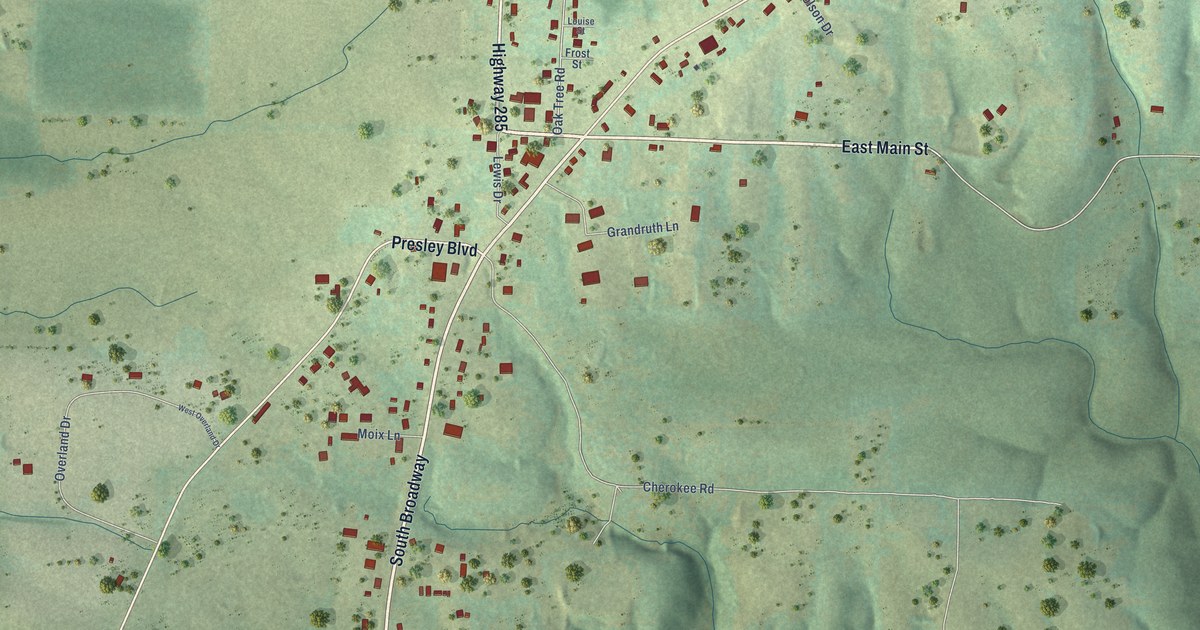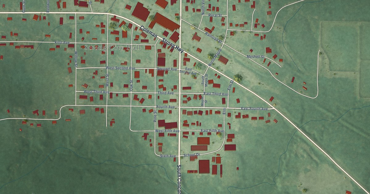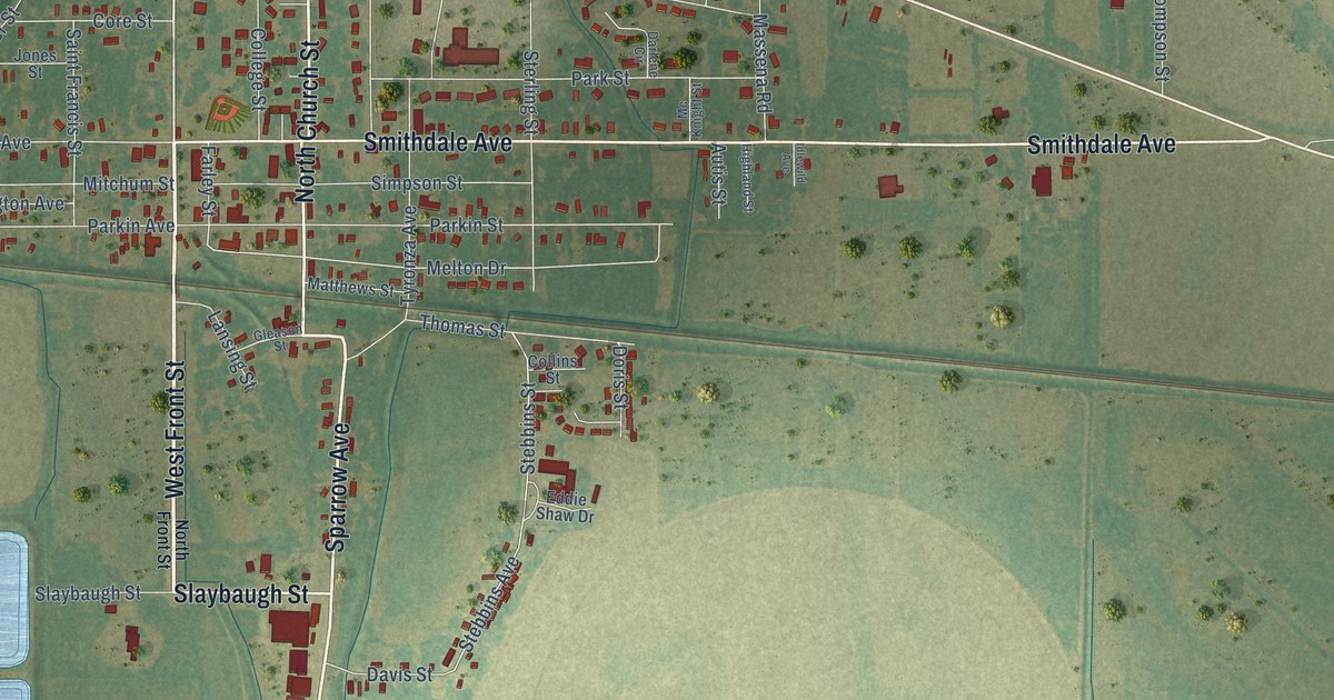
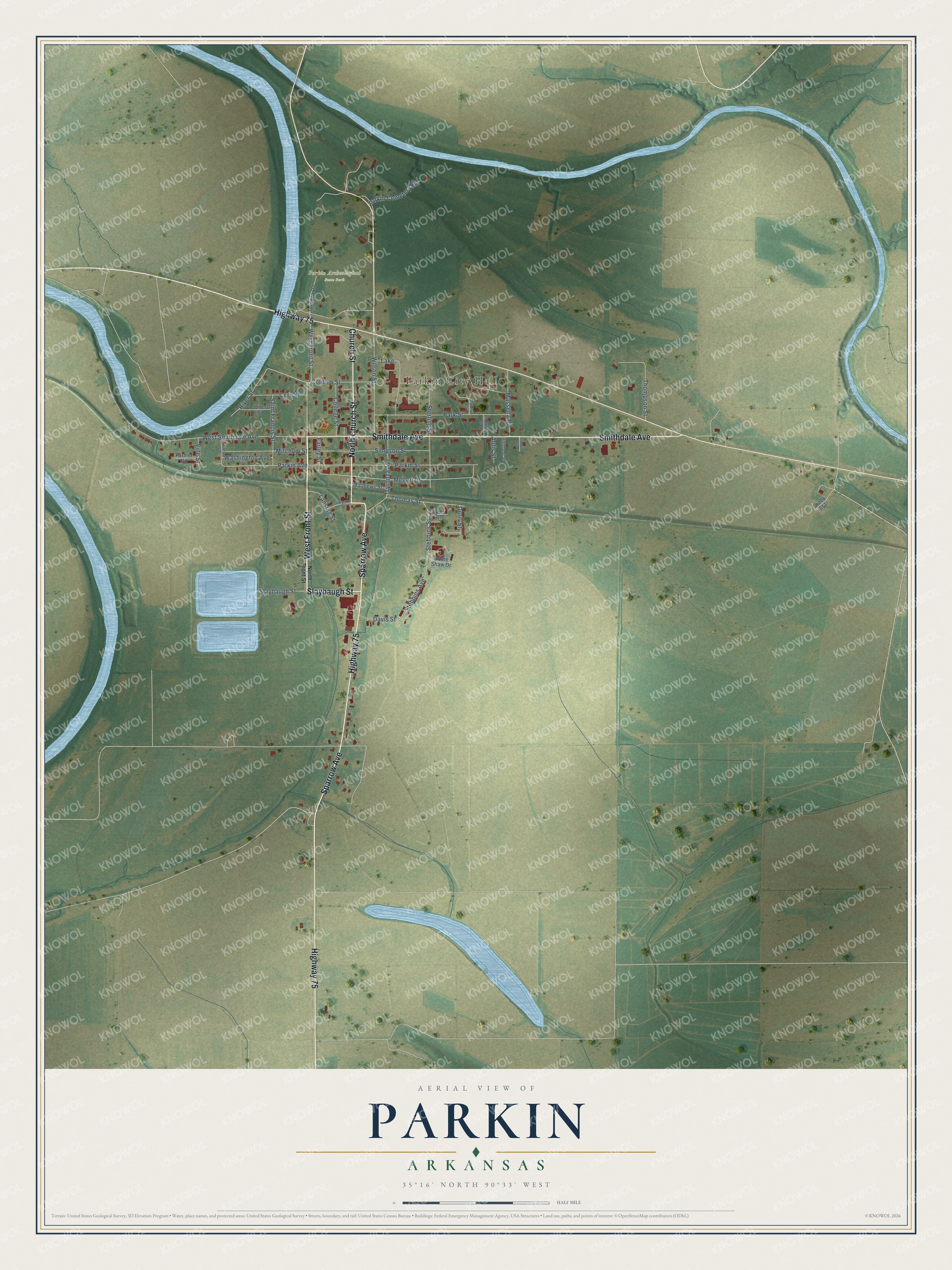
This beautifully detailed map of Parkin, Arkansas was created in 2026 using aerial imagery combined with modern topographical, census, street and landmark data. It's a modern aerial view of Parkin in Cross County, Arkansas, that combines modern data with a vintage aesthetic. The roads feature printed names, and if you look closely you can find your exact house accurately shown in its correct location.
Explore an aerial view of Parkin, Arkansas
On this map you'll find Parkin City Hall, Parkin Archeological State Park, West Front Street, Sparrow Avenue, Highway 75, North Church Street, Smithdale Avenue, Slaybaugh Street, Church Street, Coldren Street, Melton Drive, West Smithdale Avenue, and more. Each red shape is a building, so zoom in on the preview and look for yours.
Parkin has a story worth telling. The Encyclopedia of Arkansas puts it this way: "The St. Louis, Iron Mountain and Southern Railroad laid tracks through Parkin around 1887. William Parkin of Memphis, Tennessee, was in charge of laying the tracks in the Parkin area, which eventually was named for him."
Parkin is a city in Cross County.
Take a closer look at the Parkin map
Names on this map
These names are printed on this map.
Places: Parkin City Hall, Parkin Archeological State Park and Lake.
Streets and roads: West Front Street, Sparrow Avenue, Highway 75, North Church Street, Smithdale Avenue, Slaybaugh Street, Church Street, Coldren Street, Melton Drive, West Smithdale Avenue, Parkin Street, Park Street.
More street names, A to Z
Autis Street, College Street, Collins Street, Core Street, Creek 811, Darlene Circle, Davis Street, Doris Street, Eddie Shaw Drive, Farley Street, Farmer Circle, Gleason Street, Highland Street, Idlewild Avenue, Jones Street, Lansing Street, Massena Road, Matthews Street, Mc Knight Street, Mitchum Street, North Front Street, Parkin Avenue, Parkin Cemetery Road, Riley Street, River Street, Saint Francis Street, Simpson Street, Stebbins Avenue, Stebbins Street, Sterling Street, Thomas Street, Thompson Street, Tyronza Avenue, Tyronza Road, Vine Street, Washington Avenue, Wilson Street.
Created by KNOWOL in 2026. The buildings are small red shapes, the roads carry their printed names, and shaded relief shows the shape of the land. The title panel reads "AERIAL VIEW OF PARKIN ARKANSAS" with 35°16' NORTH 90°33' WEST.
It looks right in a kitchen, an office or a den, and it's a gift for anyone who grew up in Parkin or moved away. Open the preview and find your street. See sizes and frames for the Parkin map.