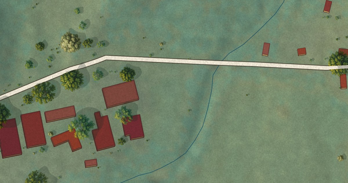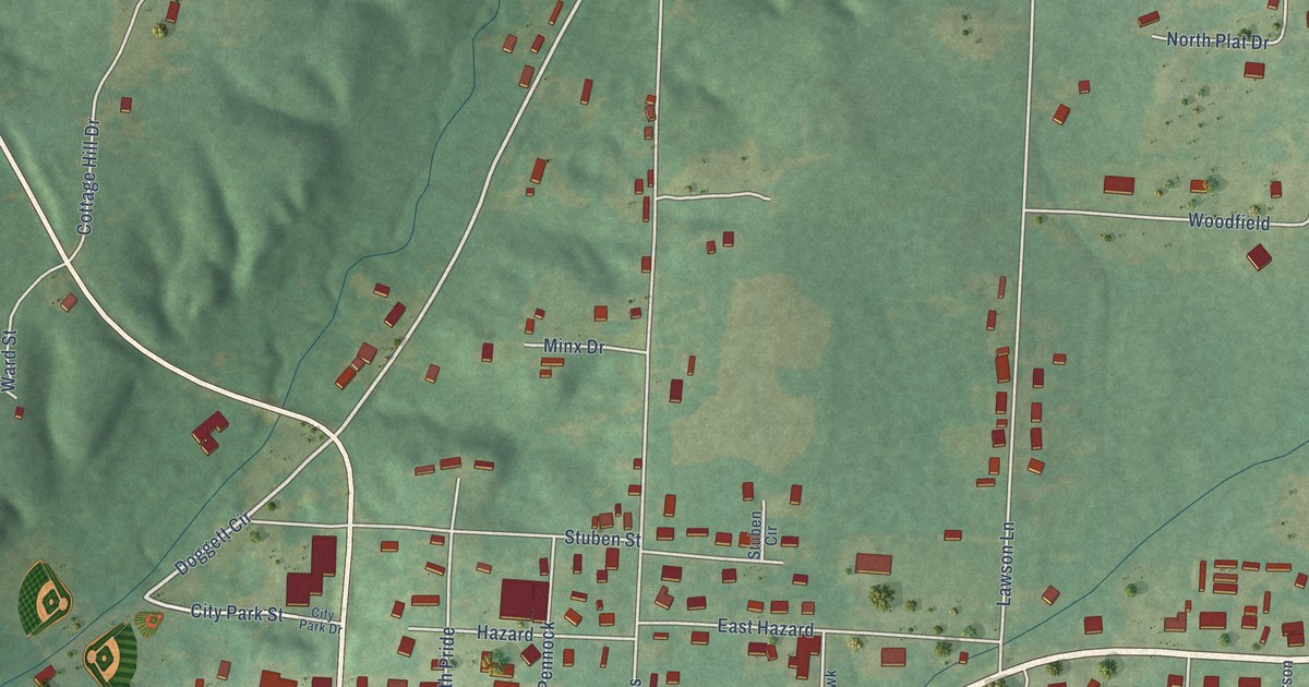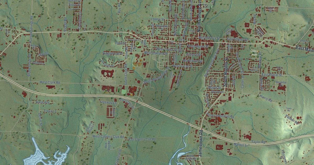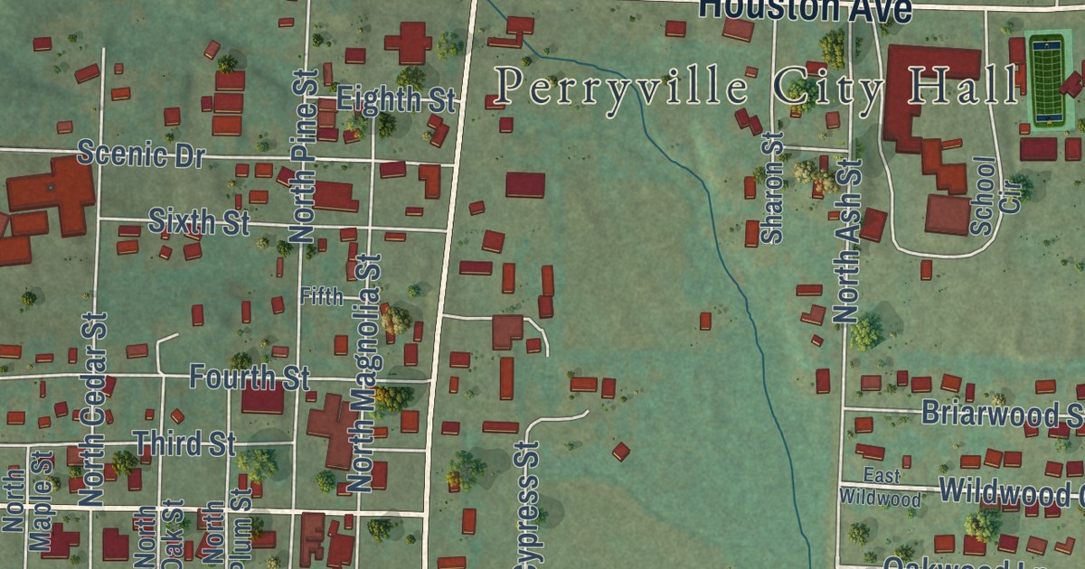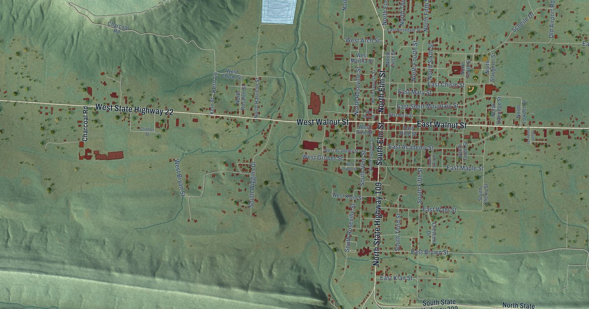
This beautifully detailed map of Paris, Arkansas was created in 2026 using aerial imagery combined with modern topographical, census, street and landmark data. It’s a one-of-a-kind view of Paris that combines accurate data with a vintage aesthetic. The map shows every building in its true location, many of the roads carry their names, and the shaded topographic relief shows the shape of the land.
Explore an aerial view of Paris, Arkansas
On the map you’ll find Carbon City, along with West State Highway 22, West Walnut Street, North Elm Street, East Walnut Street, East State Highway 22, North State Highway 109, South Elm Street, Kern Lane, East Short Mountain Street, East Wood Street, South Fifth Street, and more. If you look closely you can even find your house accurately drawn in its correct location. Zoom in on the preview to look for yours.
Did you know this piece of Paris, Arkansas history?
From the Encyclopedia of Arkansas: "Voters selected an undeveloped site on Old Military Road in the north-central part of the county. The next step was to choose a name. One of the commissioners admired Paris, France, and suggested that the town be called Paris. The name met with approval, and a small log courthouse was built."
Paris is a city in Logan County.
Take a closer look at the Paris map
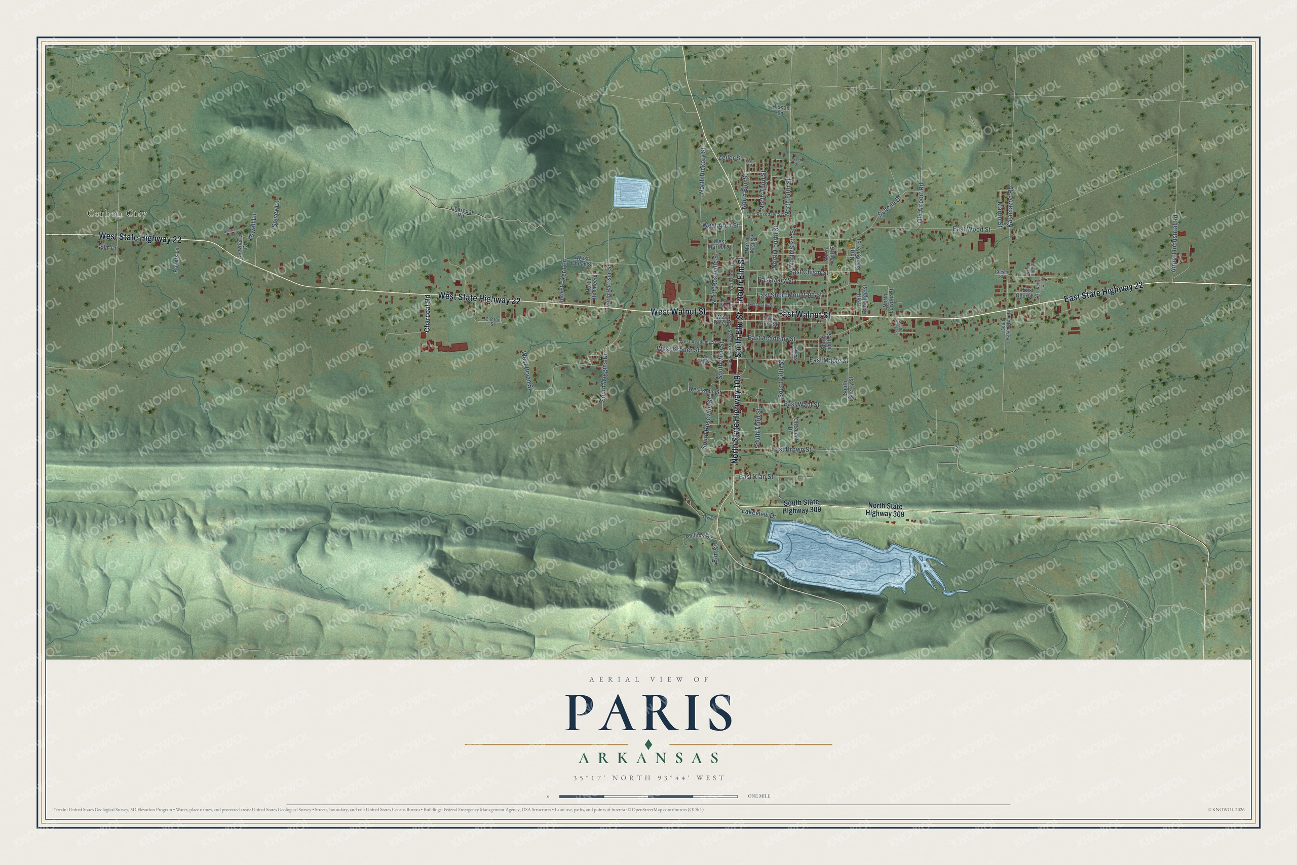
Street and place names on the Paris, Arkansas map
These names are printed on the map of Paris, Arkansas.
Places: Carbon City.
Streets and roads: West State Highway 22, West Walnut Street, North Elm Street, East Walnut Street, East State Highway 22, North State Highway 109, South Elm Street, Kern Lane, East Short Mountain Street, East Wood Street, South Fifth Street, North Fifth Street.
More street names, A to Z
Airport Industrial Road, Arnett Street, Charcoal Road, Chism Street, Clinton Street, Crescent Drive, East Academy Street, East Brown Street, East Chism Street, East Church Street, East Klan Street, East Main Street, East Maple Street, East Mary Street, East Pine Street, East Rosedale Street, East Wahl Street, Elm Drive, Elm Street, Hixson Lane, Jewell Lane, Kalamazoo Road, Kern Street, Lakeview Drive, Legion, Martin Street, North Carr Street, North Danridge Street, North Express Street, North First Street, North Fourth Street, North Harrison Street, North Hickory Street, North Lewis Street, North Lowder Street, North Rosalee Street, North Roseville Street, North Sixth Street, North Slaughter Street, North State Highway 309, North Tenth Street, North Third Street, Old Airport Road, Phillips Street, Rogers Lane, Scheile Drive, Schwartz Drive, Scwhartz Drive, South Cherry Street, South Express Street, South Kalamazoo Road, South Lowder Street, South Roseville Street, South Sixth Street, South State Highway 309, South Tenth Street, South Third Street, South Vine Street, South Wiggins Drive, Spivey Lane, Vista Terrace, West Academy Street, West Arch Street, West Bryan Street, West Chism Street, West Grober Street, West Klein Street, West Main Street, West Maple Street, West Martha Street, West Pine Street, Zeiler Street.
See the Paris, Arkansas map on a wall
The Paris map as an 18 x 24 inch print in a black frame.

This beautifully detailed map of Paris makes an attractive addition to your office, library, or den, and it can even be used to teach children the geography and history of the area. It also makes a great gift for someone who left Paris and still calls it home. When you’re done exploring, click here to get your copy of the Paris map.