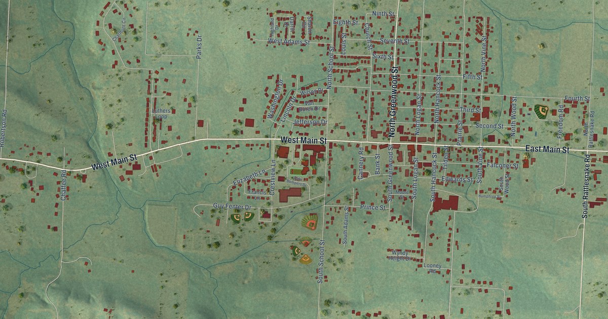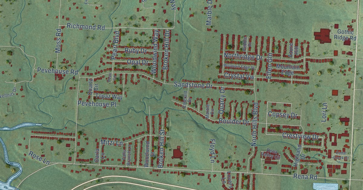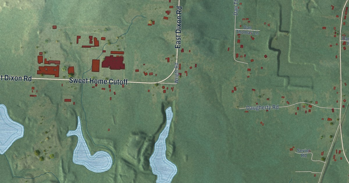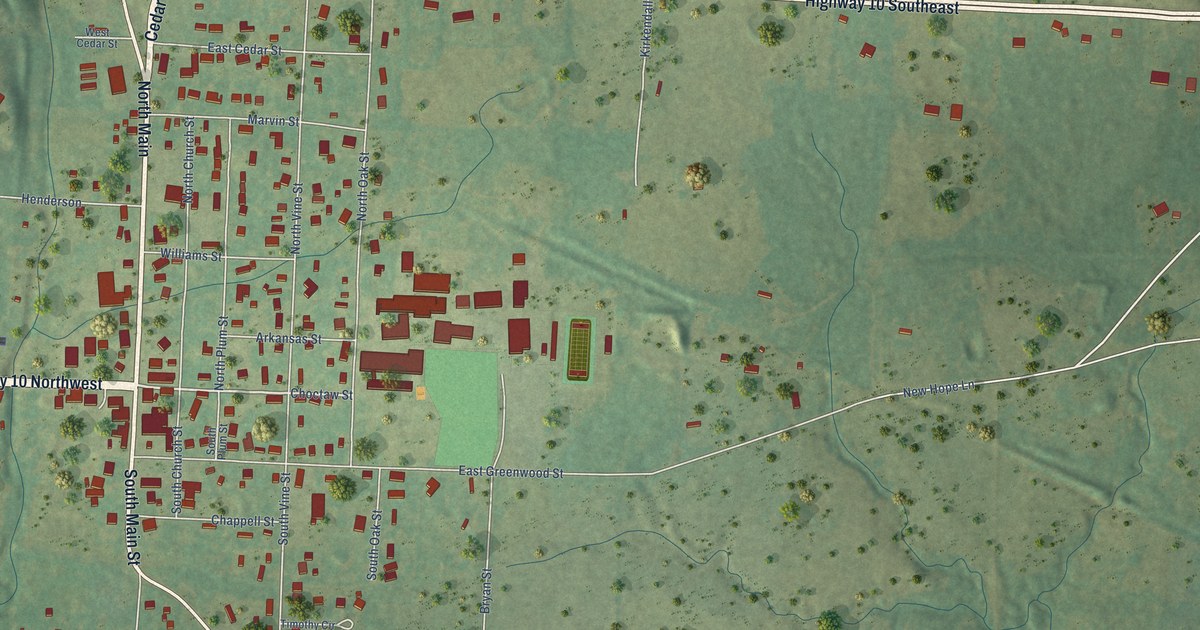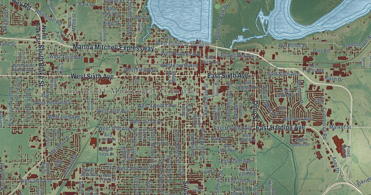
This beautifully detailed map of Pine Bluff, Arkansas was created in 2026 using aerial imagery combined with modern topographical, census, street and landmark data. It’s a one-of-a-kind view of Pine Bluff that combines accurate data with a vintage aesthetic. The map shows every building in its true location, many of the roads carry their names, and the shaded topographic relief shows the shape of the land.
Explore an aerial view of Pine Bluff, Arkansas
On the map you’ll find Pine Bluff Municipal Complex, Pine Bluff Regional Park, Leitner, Watson Chapel, and West End, along with South Olive Street, West Sixth Avenue, South Blake Street, West 13th Avenue, East Sixth Avenue, Ohio Street, Franklin Street, and more. If you look closely you can even find your house accurately drawn in its correct location. Zoom in on the preview to look for yours.
Did you know this piece of Pine Bluff, Arkansas history?
From the Encyclopedia of Arkansas: "Steamboat travel soon opened the hamlet to expanding settlement, bringing to the area such men as French-born Napoleonic soldier Antoine Barraque (Pine Bluff’s principal east-west street was named for him) and brothers James T. and John Pullen (main thoroughfares were named for them)."
Pine Bluff is a city in Jefferson County.
Take a closer look at the Pine Bluff map
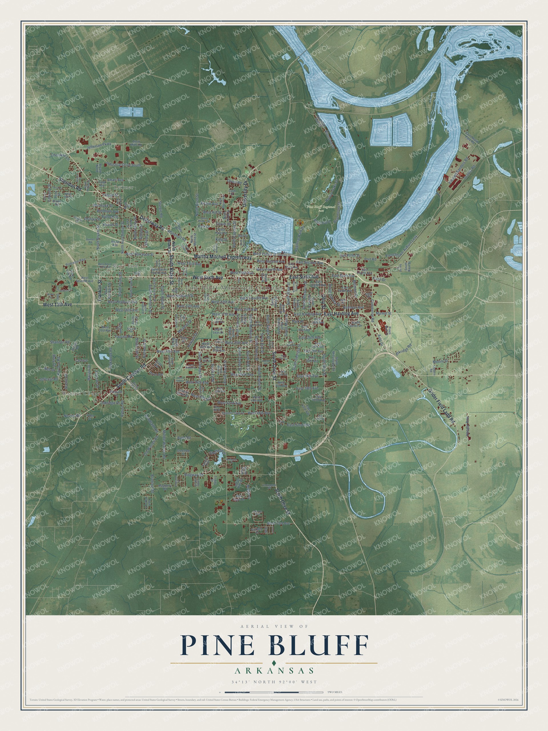
Street and place names on the Pine Bluff, Arkansas map
These names are printed on the map of Pine Bluff, Arkansas.
Places: Pine Bluff Municipal Complex, Pine Bluff Regional Park, Leitner, Watson Chapel and West End.
Streets and roads: South Olive Street, West Sixth Avenue, South Blake Street, West 13th Avenue, East Sixth Avenue, Ohio Street, Franklin Street, South Camden Road, Sheridan Road, Martha Mitchell Expressway, Dollarway Road, University Drive.
More street names, A to Z
Andy Cv, Argyle Avenue, Arlington Street, Auto Drive, Bay Street, Beachfront Drive, Bell Street, Belmont Drive, Belmoor Avenue, Black Dog Drive, Bobo Road, Briney Road, Brinkley Road, Brown Road, Bryant North, Bullock Street, Bush Street, Calhoun Street, Cardinal, Cash Street, Cedar, Cherokee Lane, Cobb Avenue, Commerce Road, Convention Center Drive, Correction Circle, Country Club Lane, Deer Run North, Dierk Mills Road, Doc, Dusty Lake Drive, East 18th Avenue, East 21st Avenue, East 24th Avenue, East 25th Avenue, East 26th Avenue, East 28th Avenue, East 30th Avenue, East 34th Avenue, East 38th Avenue, East 42nd Avenue, East 43rd Avenue, East 47th Avenue, East 52nd Avenue, East Eighth Avenue, East Fourth Avenue, East Harding Avenue, East Lake Drive, East Pullen Street, East Second Avenue, East Tenth Avenue, East Third Avenue, Edwards Street, Emmett Sanders Road, Eskridge Road, Fairway Drive, Faucett Road, Flash Drive, Flipper Street, Fluker Street, Free Line Road, Frenchtown-Auburn Levy, Goodfaith Road, Gravity Road, Greenlee Street, Grider Field Ladd Road, Hampton Parkway, Hangar Row, Harbor Oaks Drive, Hoover Street, Howard Drive, Hudson Avenue, Indian Hills Drive, Industrial Drive South, Jackson Road, Jaycee Drive, Jeffcoat Road, Jefferson Parkway, Kay Don Road, Kenwood Drive, King Street, Lake Saracen Drive, Laurel, Leslie Leas Drive, Lincoln Green Drive, Marjon Drive, Market Street, Mary Drive, Mayberry Road, McRae Circle, Middle Warren Road, Miramar Drive, Mobile Street, Mulberry, Nell Drive, Nevins Road, North Birch Street, North Blake Street, North Bryant Street, North Cypress Street, North Haley Street, North Hazel Street, North Hutchinson Street, North Juniper Street, North Lee Street, North Magnolia Street, North Moreland Street, North Myrtle Street, North Phillips Street, North Plum Street, North Willow Street, Oak, Oakridge Drive, Oakwood Road, Oden Drive, Old Warren Road, Oliver Road, Osborn Road, Oxford Drive, Park Drive, Park Place, Perry Street, Phillips Street, Pine Hill Drive, Pines Mall Drive, Pinnacle Lane, Port Road, Princeton Pike, Regional Park Drive, Rhinehart Road, Ridgewood Drive, Ridgway Road, Riverside Drive, Riverside Park Drive, Roane Avenue, Ryburn Road, Saint Marie Park Road, Scenic Drive, School Street, Scott Avenue, Scull, Shannon Road, Sheffield Drive, Shirley Street, Short Reeker Street, Skylark Drive, Smart Avenue, South Apple Street, South Ash Street, South Bain Street, South Bay Street, South Beech Street, South Belair Drive, South Catalpa Street, South Cedar Street, South Cherry Street, South Chestnut Street, South Dakota Street, South Dearborn Street, South Elm Street, South Fir Street, South Fox Street, South Georgia Street, South Grant Street, South Gum Street, South Hazel Street, South Hemlock Street, South Hickory Street, South Holly Street, South Indiana Street, South Juniper Street, South Laurel Street, South Lee Street, South Main Street, South Maple Street, South Midland Drive, South Mississippi Street, South Missouri Street, South Mulberry Street, South Oak Street, South Ohio Street, South Orlando Drive, South Palm Street, South Peach Street, South Pear Street, South Persimmon Street, South Pine Street, South Plum, South Plum Street, South Poplar Street, South Redbud Street, South State Street, South Taft Street, South Texas Street, South Young Street, Spring Street, Starlite Drive, Steve Drive, Sturgis Road, Sunset Road, Taft Street, Timber Lake Drive, Trinity Drive, Tulip Street, Twin Oaks Lane, Union Avenue, Utah Street, Vontungeln Road, War Eagle Drive, Wellington Drive, West 14th Avenue, West 15th Avenue, West 16th Avenue, West 17th Avenue, West 18th Avenue, West 19th Avenue, West 21st Avenue, West 24th Avenue, West 25th Avenue, West 26th Avenue, West 27th Avenue, West 28th Avenue, West 29th Avenue, West 30th Avenue, West 33rd Avenue, West 34th Avenue, West 35th Avenue, West 36th Avenue, West 37th Avenue, West 39th Avenue, West 40th Avenue, West 41st Avenue, West 42nd Avenue, West 46th Avenue, West 73rd Avenue, West Barraque Street, West Fifth Avenue, West Fourth Avenue, West Havis Street, West Hepburn Avenue, West Hepburn Street, West Hill Street, West Pullen Street, West Second Avenue, West Seventh Avenue, West Short Fourth Avenue, West Short Third Avenue, West Third Avenue, West Twelfth Avenue, White Oak Cv, Windham Avenue, Wood Avenue, Wormack Street.
See the Pine Bluff, Arkansas map on a wall
The Pine Bluff map as an 18 x 24 inch print in a black frame.

This beautifully detailed map of Pine Bluff makes an attractive addition to your office, library, or den, and it can even be used to teach children the geography and history of the area. It also makes a great gift for anyone with Pine Bluff roots. When you’re done exploring, click here to get your copy of the Pine Bluff map.