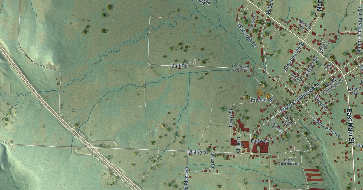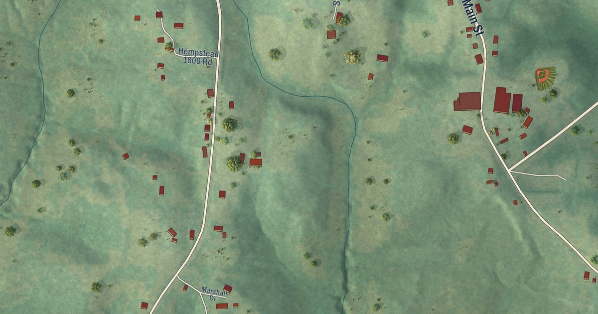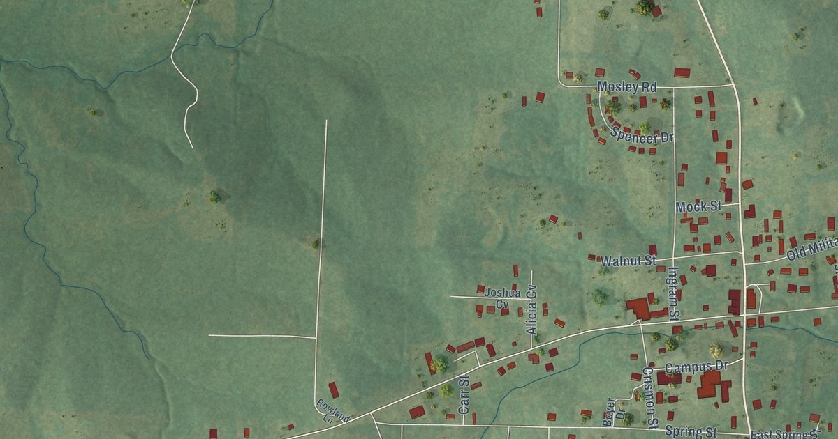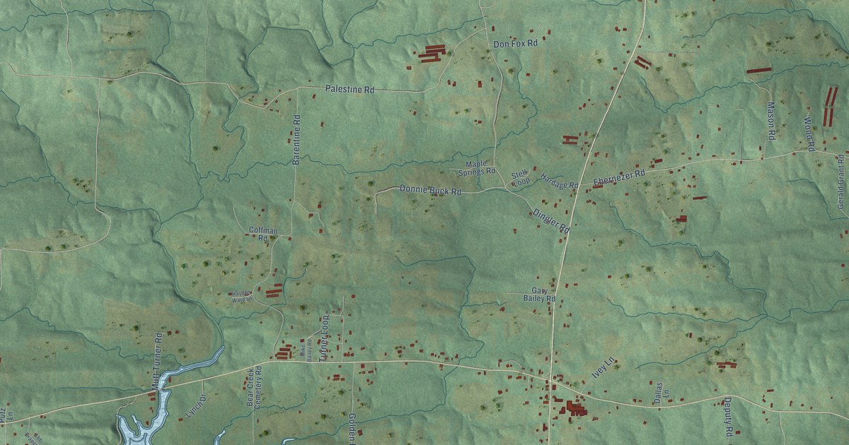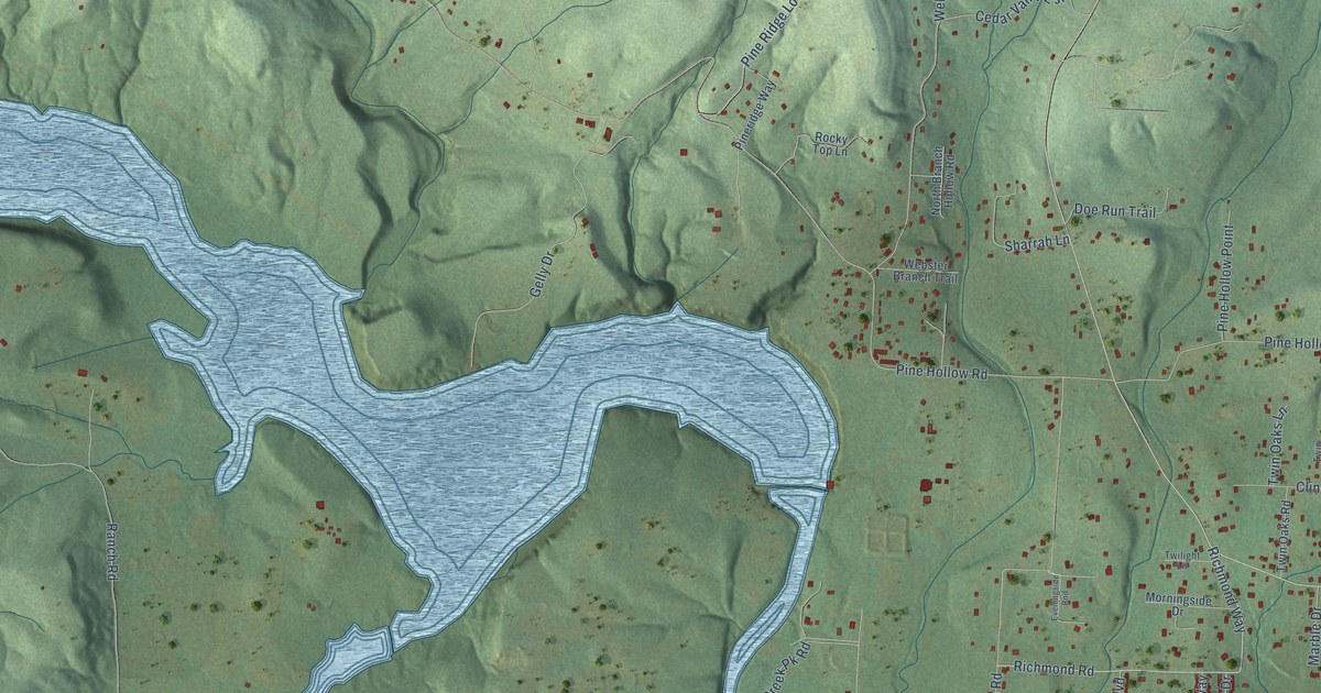
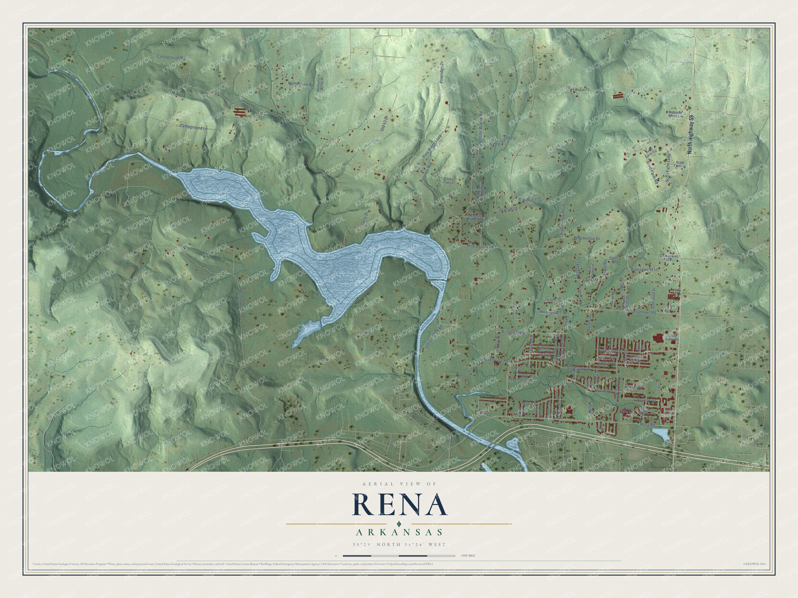
This beautifully detailed map of Rena, Arkansas was created in 2026 using aerial imagery combined with modern topographical, census, street and landmark data. It’s a one-of-a-kind view of Rena that combines accurate data with a vintage aesthetic. The map shows every building in its true location, many of the roads carry their names, and the shaded topographic relief shows the shape of the land.
Explore an aerial view of Rena, Arkansas
On the map you’ll find Elfen Gln, along with North Highway 59, Crestview Drive, Rena Road, Pine Hollow Road, Old Uniontown Road, Ranch Road, Campground Road, Pevehouse Road, Pine Ridge Loop, Pineridge Drive, Campground Lane, and more. If you look closely you can even find your house accurately drawn in its correct location. Zoom in on the preview to look for yours.
Take a closer look at the Rena map
Names on this map
These names are printed on this map.
Streets and roads: North Highway 59, Elfen Gln, Crestview Drive, Rena Road, Pine Hollow Road, Old Uniontown Road, Ranch Road, Campground Road, Pevehouse Road, Pine Ridge Loop, Pineridge Drive, Campground Lane.
More street names, A to Z
Azure Hill, Blake Road, Boulder Drive, Broken Hill Drive, Broken Hill Street, Bronzewood Lane, Cedar Creek Court, Cedar Valley Est, Cline Road, Copsey Drive, County Highway 519, Crystal Vw, Darla Lane, Doe Run Trail, Emerald Drive, Eveningside Bnd, Falls Branch Lane, Fawn Wood Lane, Floyd Lane, Gelly Drive, Gothic Ridge Road, Highland Drive, Homeplace Acres Drive, Homeplace Road, Kristi Lane, Lee Creek Pk Road, Lori Lane, Lovers Lane, Marble Circle, Marble Drive, Meadow Wood Lane, Mitzi Lane, Morningside Drive, Moss Road, Mountain Edge, Mountain Edge Street, North Branch Hollow Road, North Hills Boulevard, Northridge Drive, Old 43 Drive, Opal Drive, Pearl Boulevard, Pearl Circle, Pebble Drive, Pevehouse Place, Pine Hollow Drive, Pine Hollow Point, Pineridge Way, Quarry Drive, Quartz Circle, Rena Place, Rena Valley Circle, Rhynes Acres Drive, Rhynes Way, Richmond Road, Richmond Way, Rocky Top Lane, Rose Lane, Ruby Drive, Sandstone Drive, Scott Farm Co, Scott Farm Drive, Scott Farm Loop, Scott Farm Road, Sharrah Lane, Silverwood Drive, Stacy Road, Stoneridge Drive, Topaz Way, Twilight Lane, Twin Cedars Lane, Twin Oaks Lane, Twin Oaks Road, Webster Branch Road, Webster Branch Trail, Wellnitz Drive, Woodwind Street, Woodwind Way.
See it on a wall
The Rena map as a framed print. Swipe for more.


This beautifully detailed map of Rena makes an attractive addition to your office, library, or den, and it can even be used to teach children the geography and history of the area. It also makes a great gift for anyone who grew up in Rena or moved away. When you’re done exploring, click here to get your copy of the Rena map.