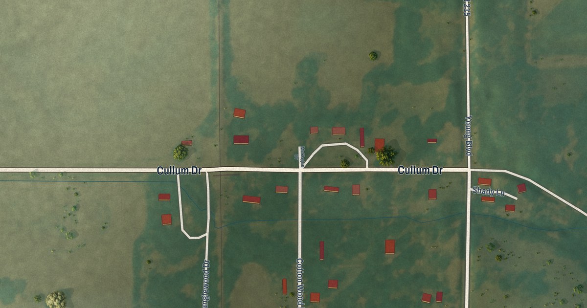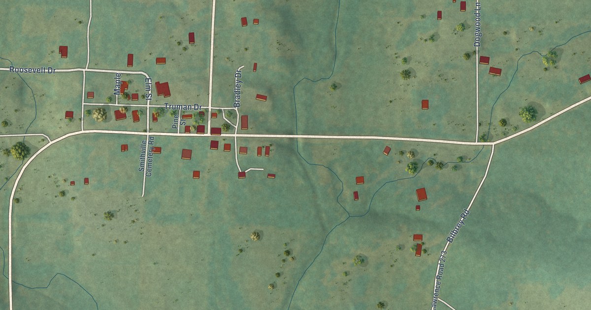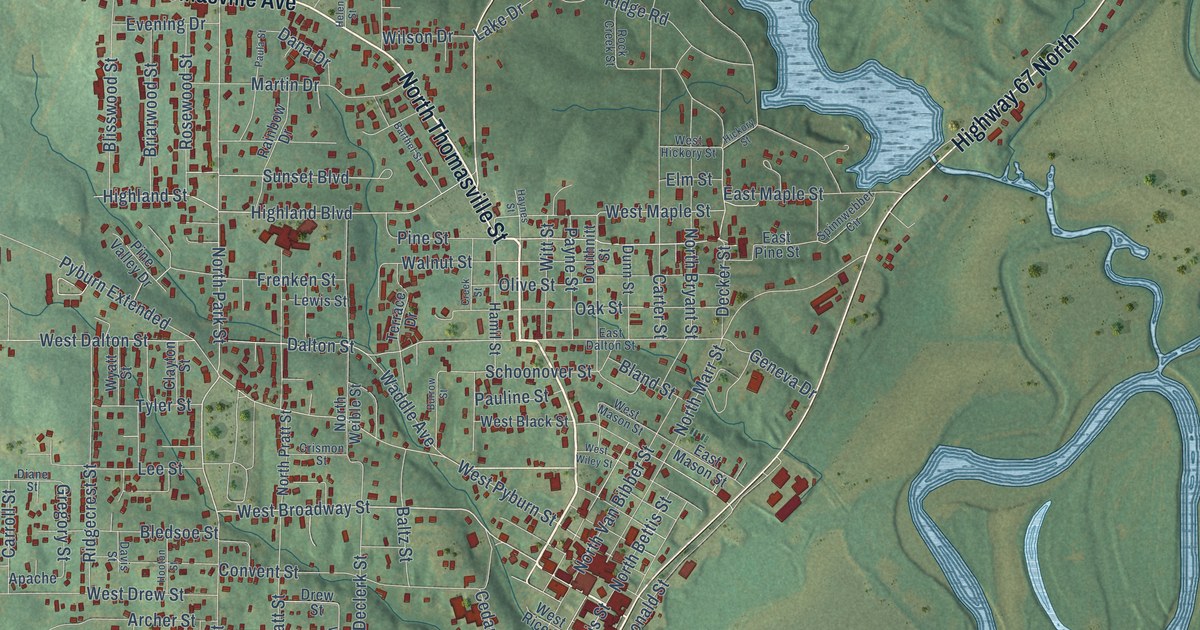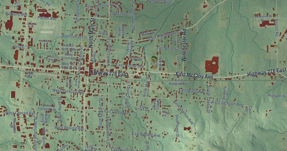
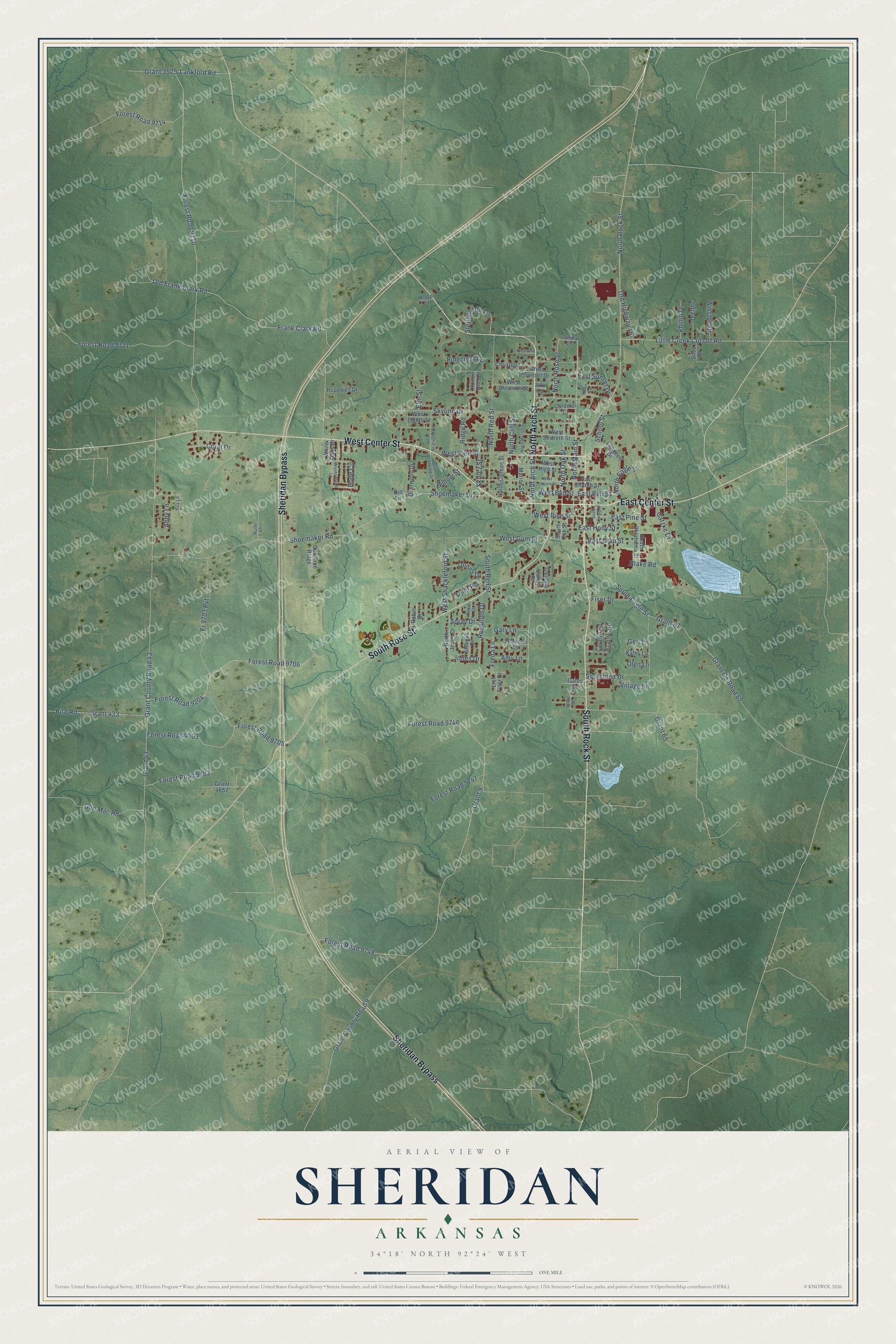
This beautifully detailed map of Sheridan, Arkansas was created in 2026 using aerial imagery combined with modern topographical, census, street and landmark data. It's a modern aerial view of Sheridan in Grant County, Arkansas, that combines modern data with a vintage aesthetic. The roads feature printed names, and if you look closely you can find your exact house accurately shown in its correct location.
Explore an aerial view of Sheridan, Arkansas
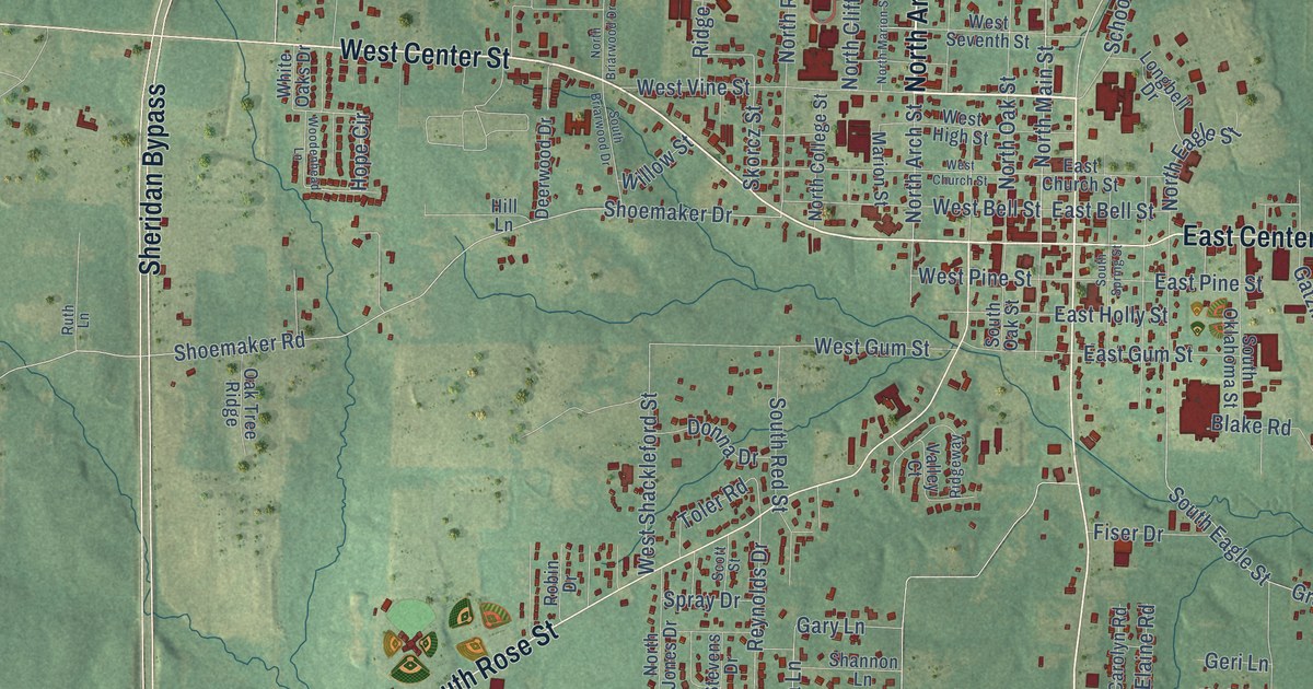
On this map you'll find North Arch Street, West Center Street, South Rock Street, Sheridan Bypass, South Rose Street, East Center Street, North Rock Street, North Main Street, North Rose Street, Forest Road 9706, Frank Clark Road, Grant 65, and more. Each red shape is a building, so zoom in on the preview and look for yours.
Sheridan has a story worth telling. The Encyclopedia of Arkansas puts it this way: "Sheridan, the county seat of rural Grant County, which lies approximately thirty-four miles south of Little Rock (Pulaski County), was named after Union general Philip Sheridan when the town was incorporated twenty-two years after the Civil War."
Sheridan is a city in Grant County.
Take a closer look at the Sheridan map
Names on this map
These names are printed on this map.
Streets and roads: North Arch Street, West Center Street, South Rock Street, Sheridan Bypass, South Rose Street, East Center Street, North Rock Street, North Main Street, North Rose Street, Forest Road 9706, Frank Clark Road, Grant 65.
More street names, A to Z
Abby Lane, Amy Lane, Ava Lane, Bird Road, Blake Road, Cardinal Court, Carolyn Road, Casey Lane, Christen Lane, Coral Drive, Deerwood Drive, Don Mac Road, Donna Drive, East Bell Street, East Church Street, East Gum Street, East Holly Street, East Pine Street, East Sunset Drive, Elaine Road, Elm Street, Fiser Drive, Forest Road 9204, Forest Road 9702, Forest Road 9703, Forest Road 9705, Forest Road 9710, Forest Road 9711, Forest Road 9714, Forest Road 9746, Forest Road 9747, Forest Road 9748, Fr 9703 Pvt, Freda Lane, Gary Lane, Gates Drive, Gatzke Drive, Geri Lane, Grant 9, Grant 43, Grant 67, Grant 433, Grant 3525, Grant 4652, Grant County Road 9, Grant County Road 43, Grant County Road 67, Hill Lane, Hope Circle, Hopewell Drive, Horton Hills Drive, Jaki Lane, Jones Drive, Julia Drive, Kathy Lane, Koon Street, Lankford Road, Lief Tyler Drive, Little Creek Cut Off Road, Longbell Drive, Marion Street, North Briarwood Drive, North Cliff Street, North College Street, North Eagle Street, North Jones Drive, North Marion Street, North Oak Street, North Red Street, Oak Tree Ridge, Old Frank Clark Road, Old Highway 167, Olen Lane, Phillip Drive, Pinecrest Circle, Reynolds Drive, Ridge Road, Ridgeway, Robin Drive, Robin Lane, Ruth Lane, School Street, Scott Street, Shannon Lane, Shoemaker Drive, Shoemaker Road, Sites Drive, Skorcz Street, Skyline Drive, South Briarwood Drive, South Eagle Street, Southland Drive, South Oak Street, South Oklahoma Street, South Red Street, South Spring Street, Spray Drive, Stephanie Lane, Stephenson Lane, Stevens Drive, Sylvia Drive, Toler Road, Valley Court, Village Lane, West Bell Street, West Church Street, West Eighth Street, West Eleventh Street, West Gum Street, West High Street, West Pine Street, West Seventh Street, West Shackleford Street, West Sunset Drive, West Vine Street, White Oaks Drive, Willow Street, Winston Drive, Woodenhead Lane.
Created by KNOWOL in 2026. The buildings are small red shapes, the roads carry their printed names, and shaded relief shows the shape of the land. The title panel reads "AERIAL VIEW OF SHERIDAN ARKANSAS" with 34°18' NORTH 92°24' WEST.
It looks right in a kitchen, an office or a den, and it's a gift for anyone who grew up in Sheridan or moved away. Open the preview and find your street. See sizes and frames for the Sheridan map.