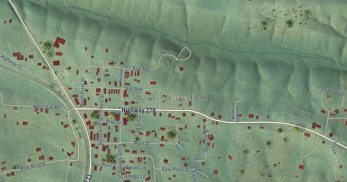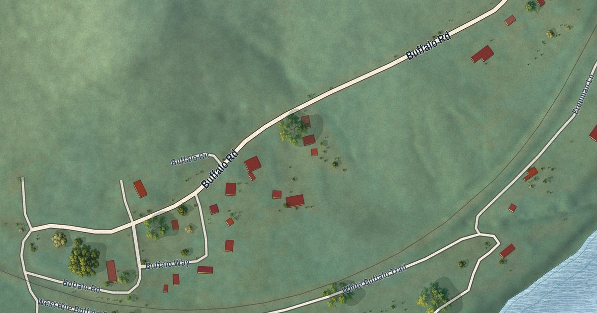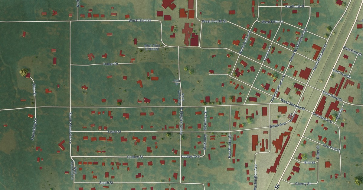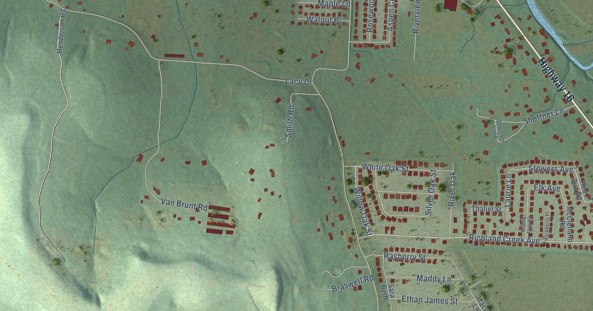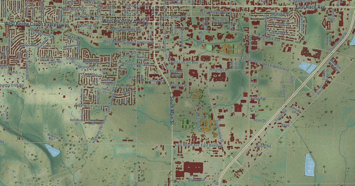
This beautifully detailed map of Searcy, Arkansas was created in 2026 using aerial imagery combined with modern topographical, census, street and landmark data. It’s a one-of-a-kind view of Searcy that combines accurate data with a vintage aesthetic. The map shows every building in its true location, many of the roads carry their names, and the shaded topographic relief shows the shape of the land.
Explore an aerial view of Searcy, Arkansas
On the map you’ll find Searcy City Hall and Doniphan, along with West Pleasure Avenue, West Beebe Capps Expressway, South Main Street, East Race Avenue, Country Club Road, East Country Club Road, East Center Avenue, West Center Avenue, Chrisp Avenue, West Lincoln Avenue, and more. If you look closely you can even find your house accurately drawn in its correct location. Zoom in on the preview to look for yours.
Did you know this about Searcy, Arkansas?
From the Encyclopedia of Arkansas: "In the early 1900s, Searcy also benefited from the arrival of the Chicago, Rock Island & Pacific and the Missouri & North Arkansas railroads."
Searcy is a city in White County.
Take a closer look at the Searcy map
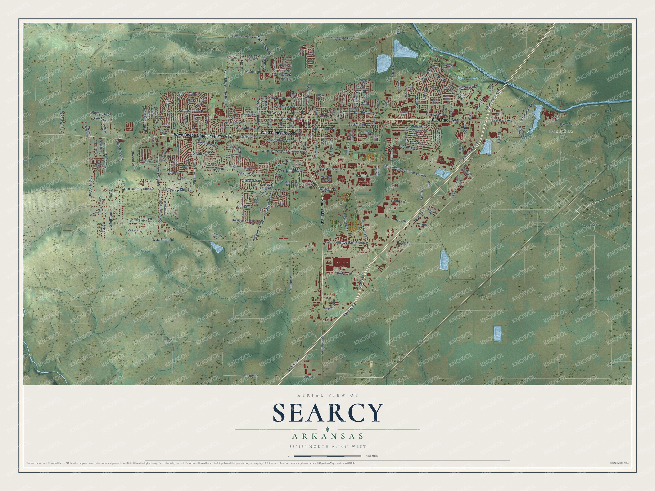
Street and place names on the Searcy, Arkansas map
These names are printed on the map of Searcy, Arkansas.
Places: Searcy City Hall and Doniphan.
Streets and roads: West Pleasure Avenue, West Beebe Capps Expressway, South Main Street, East Race Avenue, Country Club Road, East Country Club Road, East Center Avenue, West Center Avenue, Chrisp Avenue, West Lincoln Avenue, South Sawmill Road, Booth Avenue.
More street names, A to Z
Adamson Drive, Airport Loop, Alan Drive, Alexis Drive, Apache Drive, Ashley Drive, Audley Bolton Drive, Belle Meade Drive, Benton Avenue, Bent Tree Lane, Billy Davis Drive, Blackberry Road, Booth Road, Brantley Road, Brantly Road, Brittany Lane, Brookhaven Road, Burks Drive, Caleb Drive, Calvin Court, Carter Drive, Cartoon Drive, Cattail Road, Cecil Tedder Drive, Central Avenue, Chapel Lane, Charles Thomas Road, Cherokee Drive, Chesapeake Drive, Chippewa Drive, Choctaw Drive, Clara Street, Cloverdale Boulevard, Collins Drive, Cottage Lake Road, Cottonwood Drive, Country Club Circle, Covington Road, Craig Drive, Crain Drive, Cw Road, Dalewood Drive, Davis Drive, Dean Street, Deener Drive, Del Sur Drive, Dodge Avenue, Doris Drive, East Beebe Capps Expressway, East Booth Avenue, East Booth Drive, East Lincoln Avenue, Eastline Road, East Market Avenue, East Moore Avenue, East Park Avenue, East Park Plaza Road, East River Avenue, East Vine Avenue, Eastwood Drive, Ethel Drive, Evans Street, Fairgrounds Road, Ferren Trail, Field Crest Drive, Fox Avenue, Foxboro Drive, Foxpoint Lane, Freud Drive, Fuller Lane, Golf Course Drive, Golf View Drive, Greenwood Drive, Gum Springs Road, Harding Drive, Hartsfield Drive, Hartwell Place, Hastings Drive, Hawkins Drive, Headlee Heights Drive, Higginson Street, Highway 16, Highway 267 South, Hillcreek Circle, Holmes Road, Honey Hill Road, Hope Lane, Hubach Drive, Indian Trail, Jamestown Drive, Janet Drive, Jean Drive, Jennifer Lane, Jenny Lynne Drive, Joyce Street, Joy Drive, June, King Avenue, Lakeshore Drive, Laurel Court, Lee Circle, Lee Lane, Lelia Lane, Leonard Road, Liles Drive, Linden Street, Lisa Circle, Live Oak Drive, Livingstone Drive, Llama Drive, Lois Place, Longleaf Drive, Luther Hardin, Lyet Avenue, March Street, Marcus Shane Lane, Mari Lin Drive, Marion Street, Mary Irene Lane, McGee Drive, Meadow Lake Circle, Meadow Lane, Melday Lane, Mill Road, Minnie Lee Lane, Mohawk Drive, North Bypass Road, North Cedar Street, North Ella, North Ella Street, North Elm Street, North Fir Street, North Grand Street, North Hickory Street, North Holly Street, North Main Street, North Maple Street, North Moss Street, North Oak Street, North Pear Street, North Pine Street, North Sowell Street, North Spring Street, North Valley Road, North Van Street, North Walnut Street, Ondra Avenue, Orchid Drive, Parker Lane, Phillip Miles Road, Pin Oak Drive, Pinon Drive, Pioneer Road, Ponderosa Drive, Quality Drive, Quarter Horse Lane, Queensway Street, Radio Heights Drive, Raider Drive, Randall Drive, Rand Drive, Rebecca Lane, Rehoboth Drive, Rehoboth Street, Reiff Avenue, Remington Street, Ridge Road, Ridgewood Lane, River Cmns, River Oaks Boulevard, River Oaks Court, River Ridge Road, River Walk Drive, Robbye Lane, Robinwood Drive, Rodgers Drive, Sanibel Street, Santa Fe Drive, Shamrock Lane, Shilo, Short, Silver Oak Drive, Skyline Drive, South Blakeney, South Country Club Circle, South Horton, South Locust Street, South Moss Street, South Oak Street, South Poplar Street, South Spring Street, South Spruce, Southwind Drive, Stonecrest Drive, Stonehedge Drive, Stone Ridge, Stoneybrook Lane, Summit Drive, Sunny Hill Street, Susan Drive, Sydney Street, Taylor Road, Truman Baker Drive, Trummann Baker Drive, Tulip, Valley Court, Valley Drive, Village Drive, Virgil Avenue, Webb Drive, West Arch Avenue, West Booth Road, West Country Club Road, Western Hills Drive, Westgate Drive, West McRae Avenue, West Moore Avenue, West Park Avenue, West Race Avenue, West Vine Avenue, West Wilbur Mills Avenue, West Woodruff Avenue, White Oak Circle, Wilkins Lane, Williams Avenue, Willow Street, Woodcrest Drive, Wycliffe Drive.
See the Searcy, Arkansas map on a wall
The Searcy map as an 18 x 24 inch print in a black frame.

This beautifully detailed map of Searcy makes an attractive addition to your office, library, or den, and it can even be used to teach children the geography and history of the area. It also makes a great gift for anyone with Searcy roots. When you’re done exploring, click here to get your copy of the Searcy map.