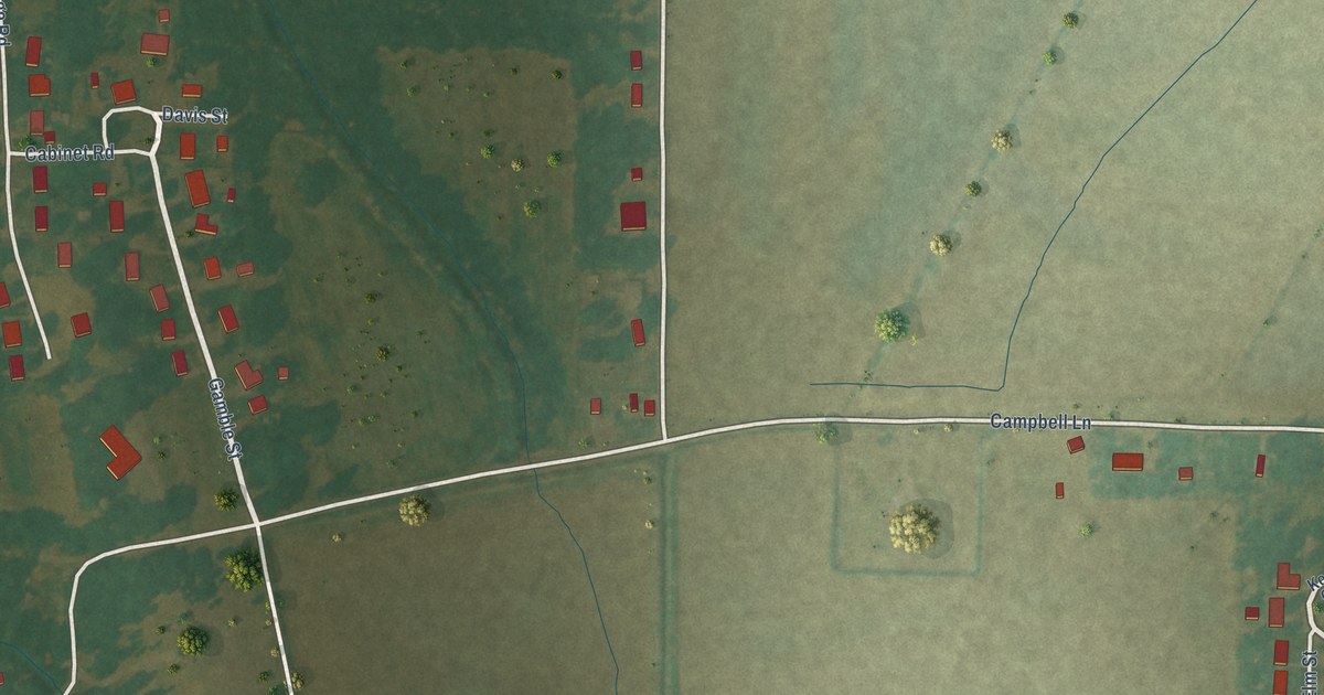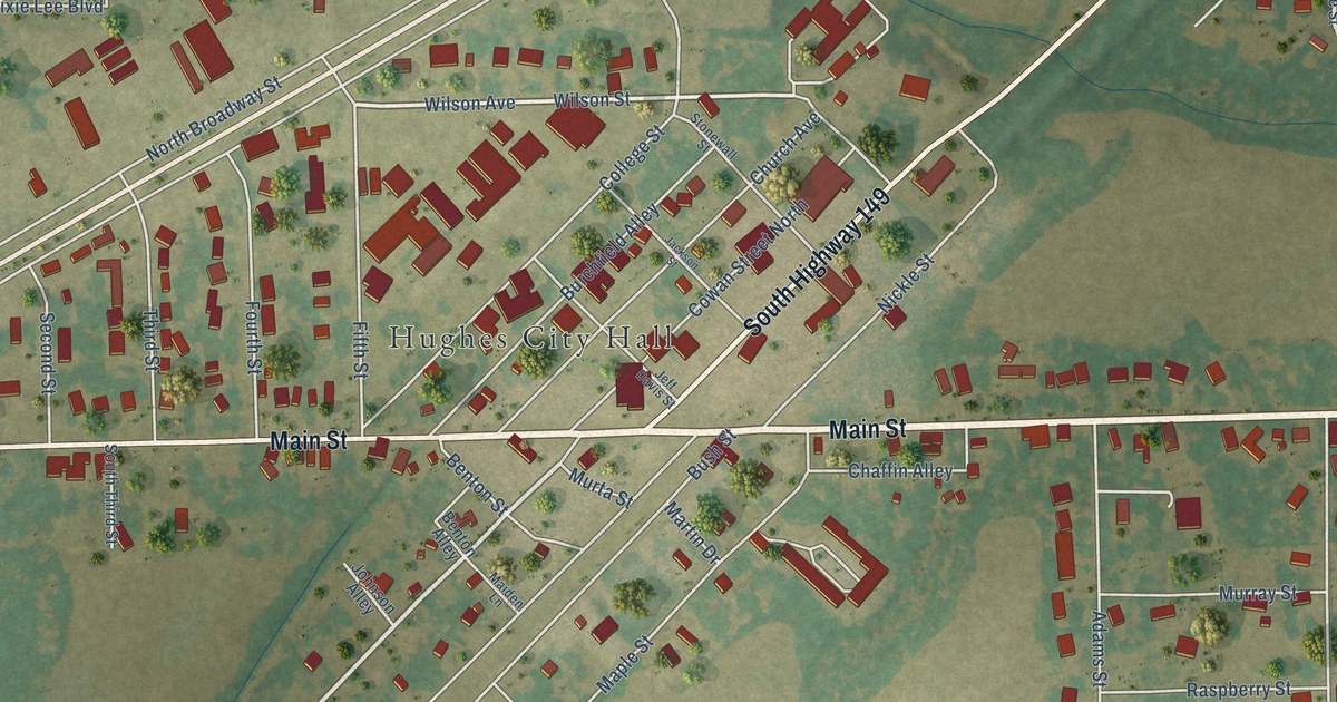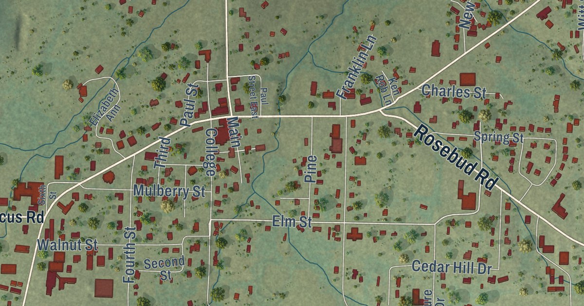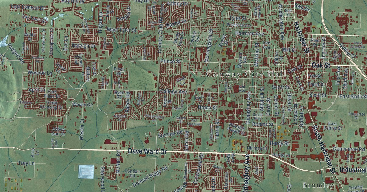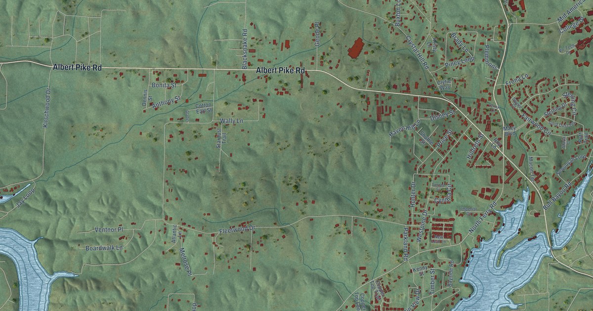
This beautifully detailed map of Piney, Arkansas was created in 2026 using aerial imagery combined with modern topographical, census, street and landmark data. It’s a one-of-a-kind view of Piney that combines accurate data with a vintage aesthetic. The map shows every building in its true location, many of the roads carry their names, and the shaded topographic relief shows the shape of the land.
Explore an aerial view of Piney, Arkansas
On the map you’ll find Albert Pike Road, Mountain Pine Road, Blacksnake Road, North Ferry Road, Thornton Ferry Road, Fleetwood Drive, Bull Bayou Road, Mid America Boulevard, Crystal Hill Road, Kirschwood Drive, Arrowhead Drive, Longhorn Loop, and more. If you look closely you can even find your house accurately drawn in its correct location. Zoom in on the preview to look for yours.
Did you know this about Piney, Arkansas?
From the University of Arkansas: "Reed grew up in the town of Piney, near Hot Springs, attended Ouachita Baptist College for a year and then earned bachelor's and master's degrees from the University of Missouri School of Journalism."
Take a closer look at the Piney map
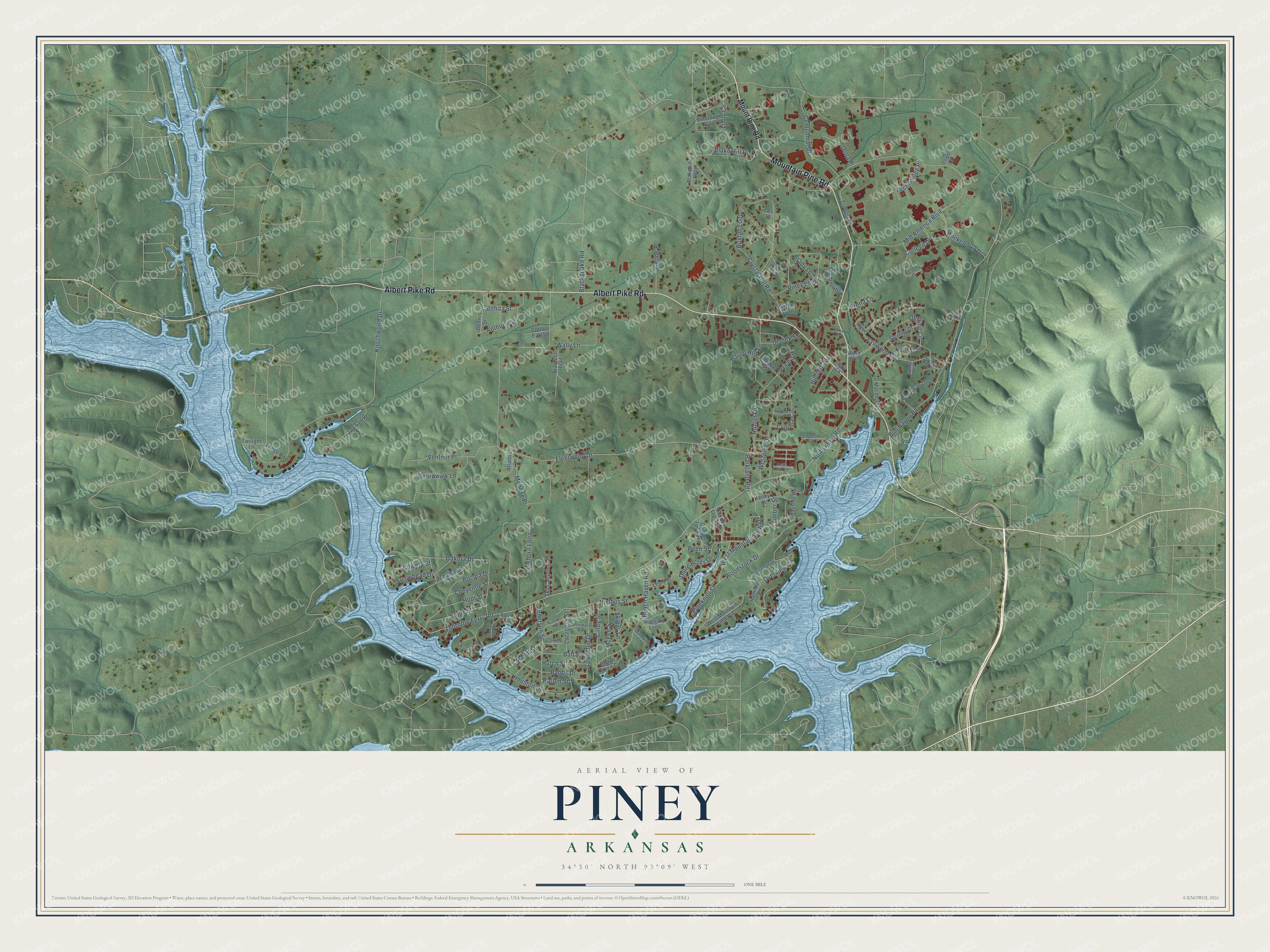
Street names on the Piney, Arkansas map
These names are printed on the map of Piney, Arkansas.
Streets and roads: Albert Pike Road, Mountain Pine Road, Blacksnake Road, North Ferry Road, Thornton Ferry Road, Fleetwood Drive, Bull Bayou Road, Mid America Boulevard, Crystal Hill Road, Kirschwood Drive, Arrowhead Drive, Longhorn Loop.
More street names, A to Z
Anderson Street, Anthony Street, Atlantic Lane, Babbs Drive, Baldwin Court, Ball Street, Baswell Court, Bayside Road, Beach Haven Circle, Beach Haven Road, Blakehill Loop, Blake Hill Place, Boardwalk Lane, Bonita Street, Brady Lane, Brindac Road, Buxton Loop, Centennial Drive, Cheyenne Street, Chuck Lane, Cindy Street, Clips Court, Clytie Way, College Drive, Copper Top Loop, Copper Top Trail, Cotton Earl Street, Coweta Street, Cynthia Circle, Dakota Drive, Delta Place, Dennis Street, Disney Street, Dodson Terrace, Donathan Street, Fairwood Circle, Frona Lane, Galveston Drive, Geode Place, Gladys, Gold Dust Terrace, Haggard Loop, Hamilton Place, Haven Hill Lane, Hildreth Street, Hopi Street, Houston Drive, Hunter Drive, Hutch Street, Imperial Court, Jay Loop, Jitterbug Trail, Kenny Street, Kristy Lane, Lacrosse Street, Leola Street, Lindy Circle, Lodge Road, Macon Terrace, Macy Boulevard, Maddox Place, Madill Street, McFee Street, Melrose Place, Mount Pine Road, New Leaf Lane, Nickens Street, Nimbus Street, Overview Circle, Parkland Road, Patton Street, Penn Street, Pineknoll Street, Piney Loop, Plemmons, Pocola Drive, Price Street, Puff Trail, Riverside Drive, Rockefeller Drive, Roy Lane, Sequoyah Loop, Shore Acres Drive, Shuttle Street, Sioux Street, Skippy Lane, Sky Canyon Trail, Smith Street, Squire Court, Stardust Trail, Starla Court, Sterling Circle, Sterling Drive, Tannda Street, Technology Place, Timber Street, Tomahawk Drive, Trey Lane, Trooper Drive, Twilight Lane, Ventnor Place, Vo-Tech Drive, Wally Lane, West Mountain View Circle, West Mountain View Drive, Westpine Drive, Woodstock Drive.
See the Piney, Arkansas map on a wall
The Piney map as an 18 x 24 inch print in a black frame.

This beautifully detailed map of Piney makes an attractive addition to your office, library, or den, and it can even be used to teach children the geography and history of the area. It also makes a great gift for anyone with Piney roots. When you’re done exploring, click here to get your copy of the Piney map.