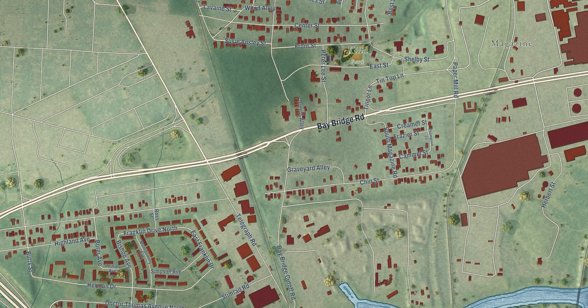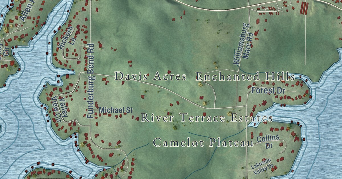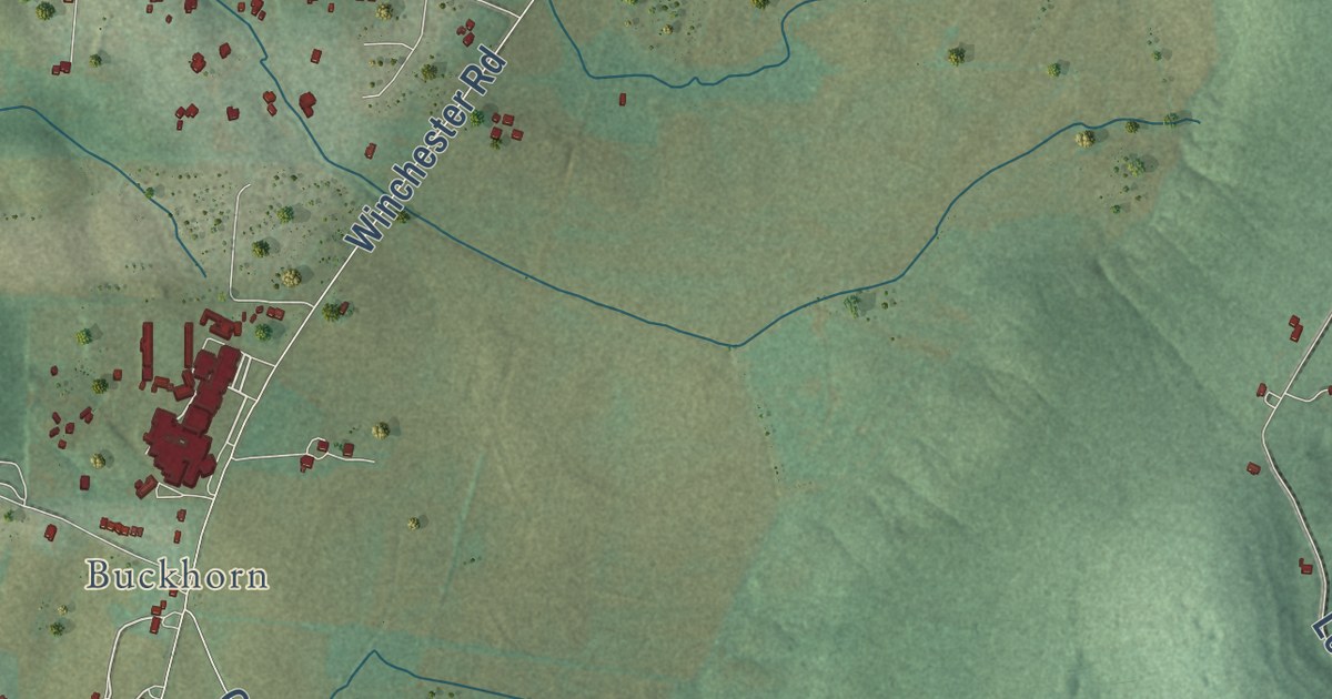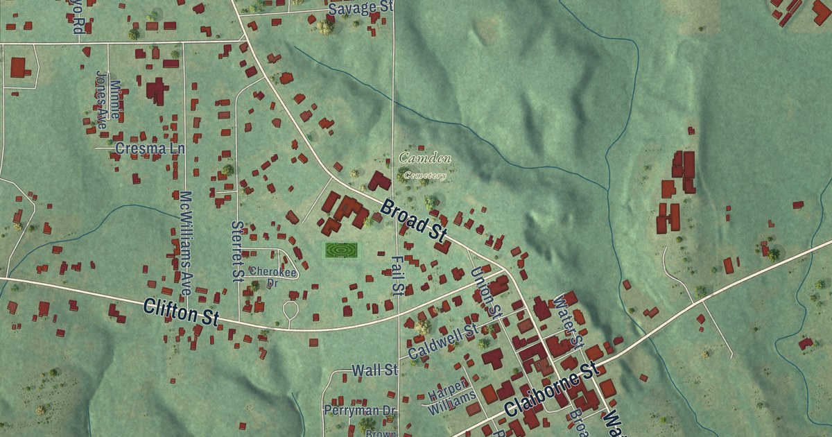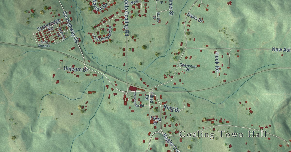
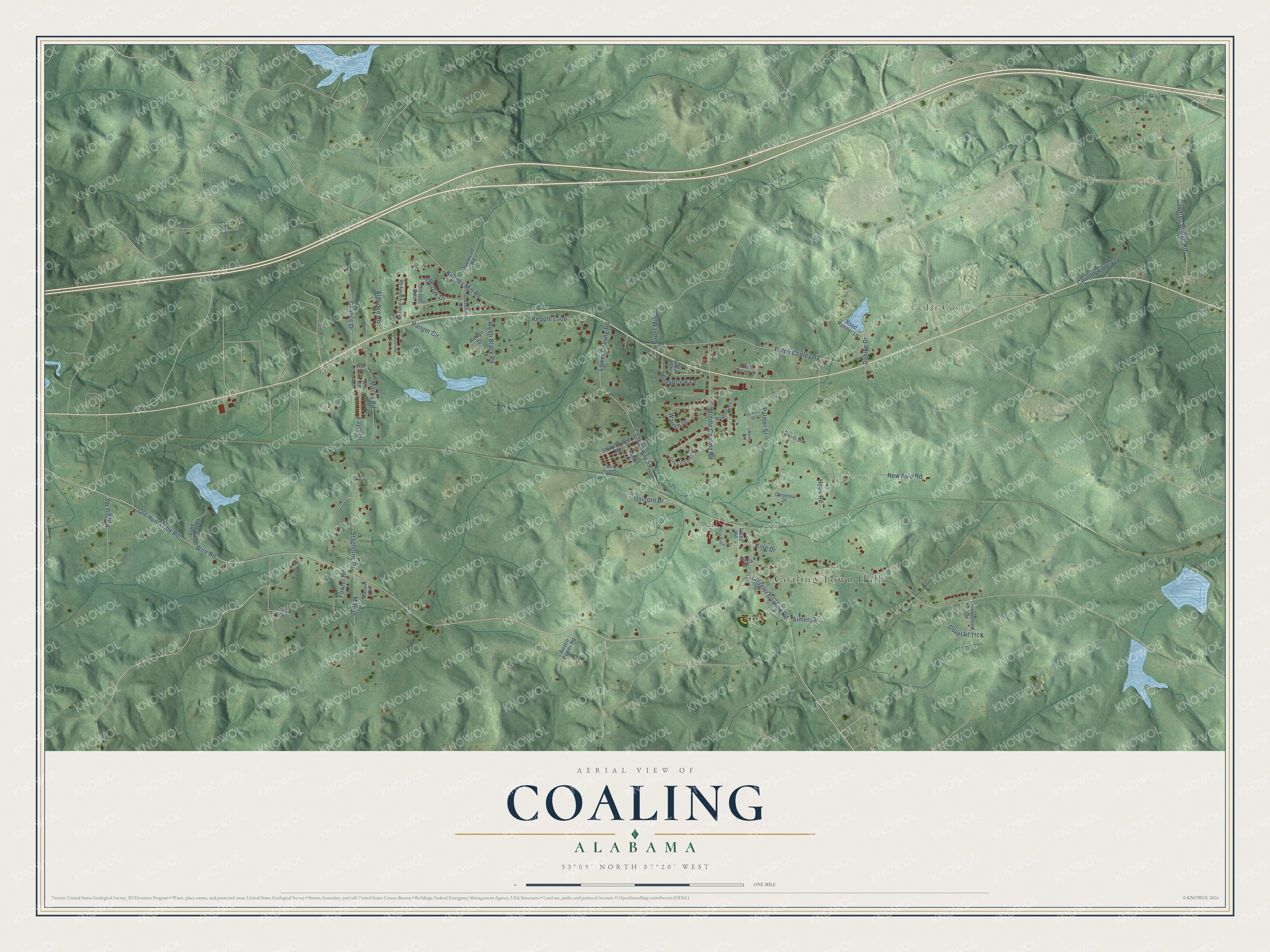
This beautifully detailed map of Coaling, Alabama was created in 2026 using aerial imagery combined with modern topographical, census, street and landmark data. It’s a one-of-a-kind view of Coaling that combines accurate data with a vintage aesthetic. The map shows every building in its true location, many of the roads carry their names, and the shaded topographic relief shows the shape of the land.
Explore an aerial view of Coaling, Alabama
On the map you’ll find Coaling Town Hall and Cedar Cove, along with County Highway 59, Wire Road, Hagler Coaling Road, Lower Coaling Road, Ralph Cooley Road, Old Huntsville Road, Middle Coaling Road, New Asia Road, Covered Bridge Road, Keenes Mill Road, and more. If you look closely you can even find your house accurately drawn in its correct location. Zoom in on the preview to look for yours.
Did you know this piece of Coaling, Alabama history?
From the Encyclopedia of Alabama: "One of the earliest settlers in the Coaling area was Daniel Black, who came to the area around 1846."
Take a closer look at the Coaling map
Street and place names on the Coaling, Alabama map
These names are printed on the map of Coaling, Alabama.
Places: Coaling Town Hall and Cedar Cove.
Streets and roads: County Highway 59, Wire Road, Hagler Coaling Road, Lower Coaling Road, Ralph Cooley Road, Old Huntsville Road, Middle Coaling Road, New Asia Road, Covered Bridge Road, Keenes Mill Road, Ole Oak Drive, Staghorne Drive.
More street names, A to Z
Aimee Drive, Aldridge Road, Ashlyn Drive, Austin Power Road, Chance Drive, Cheyenne Drive, Cobblestone Drive, Country Cove Lane, Crossfork Road, Dahlke Drive, Daniel Drive, Davis Drive, Dovetail Trce, Fayth Drive, Fikes Road, Fikes Street, Fowler Road, Granite Lane, Hoggle Road, Honeybrook Lane, Hook Road, Hunnicult Road, Jack Lunceford Drive, Jaffa Lane, James Street, Josh Drive, Kepple Loop, King Drive, Lake Grace Road, Macks Road, Magnolia Drive, Martha Street, Marvin, Marvin Drive, Old Country Drive, Ole Oak Ests, Palmer Street, Paper Mill Road, Perry Foster Road, Ranger Circle, Road Runner Lane, Rolling Valley Drive, Sand Stone Drive, Stonebridge Road, Sugar Lane, Unicorn Drive, Warren Drive, Webb Black Road, Youngblood Drive.
See the Coaling, Alabama map on a wall
The Coaling map as an 18 x 24 inch print in a black frame.

This beautifully detailed map of Coaling makes an attractive addition to your office, library, or den, and it can even be used to teach children the geography and history of the area. It also makes a great gift for anyone who grew up in Coaling or moved away. When you’re done exploring, click here to get your copy of the Coaling map.