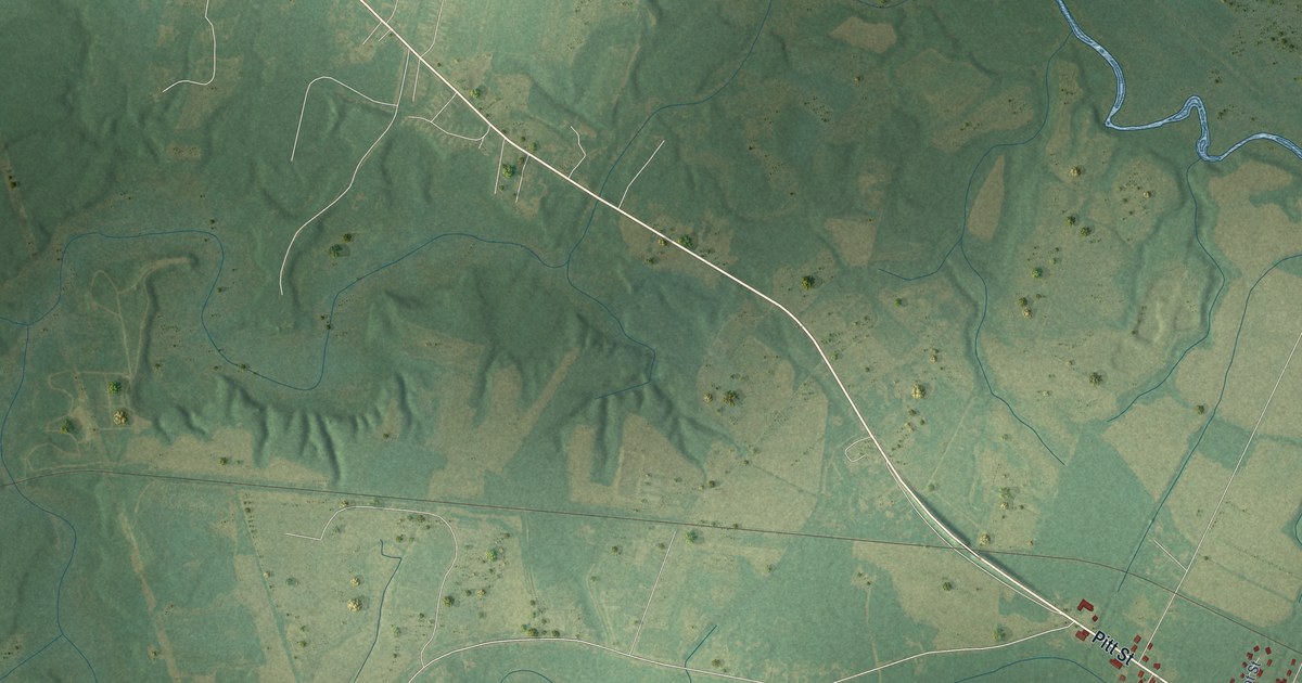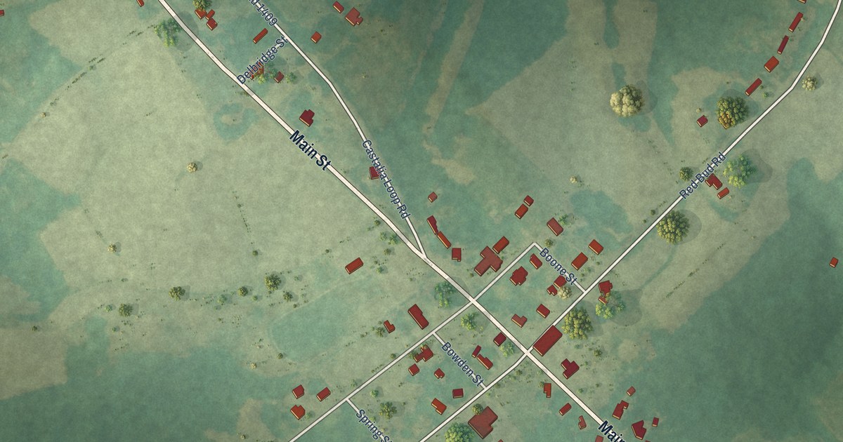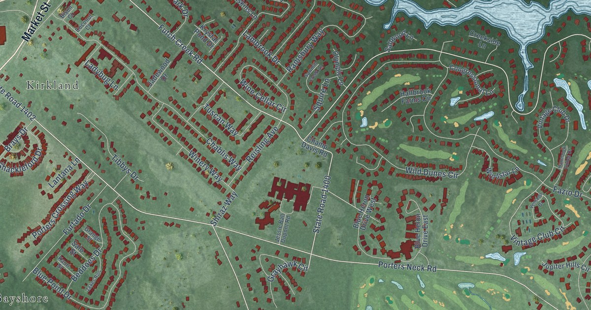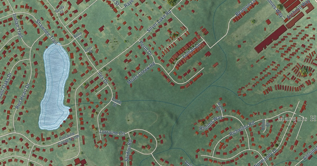
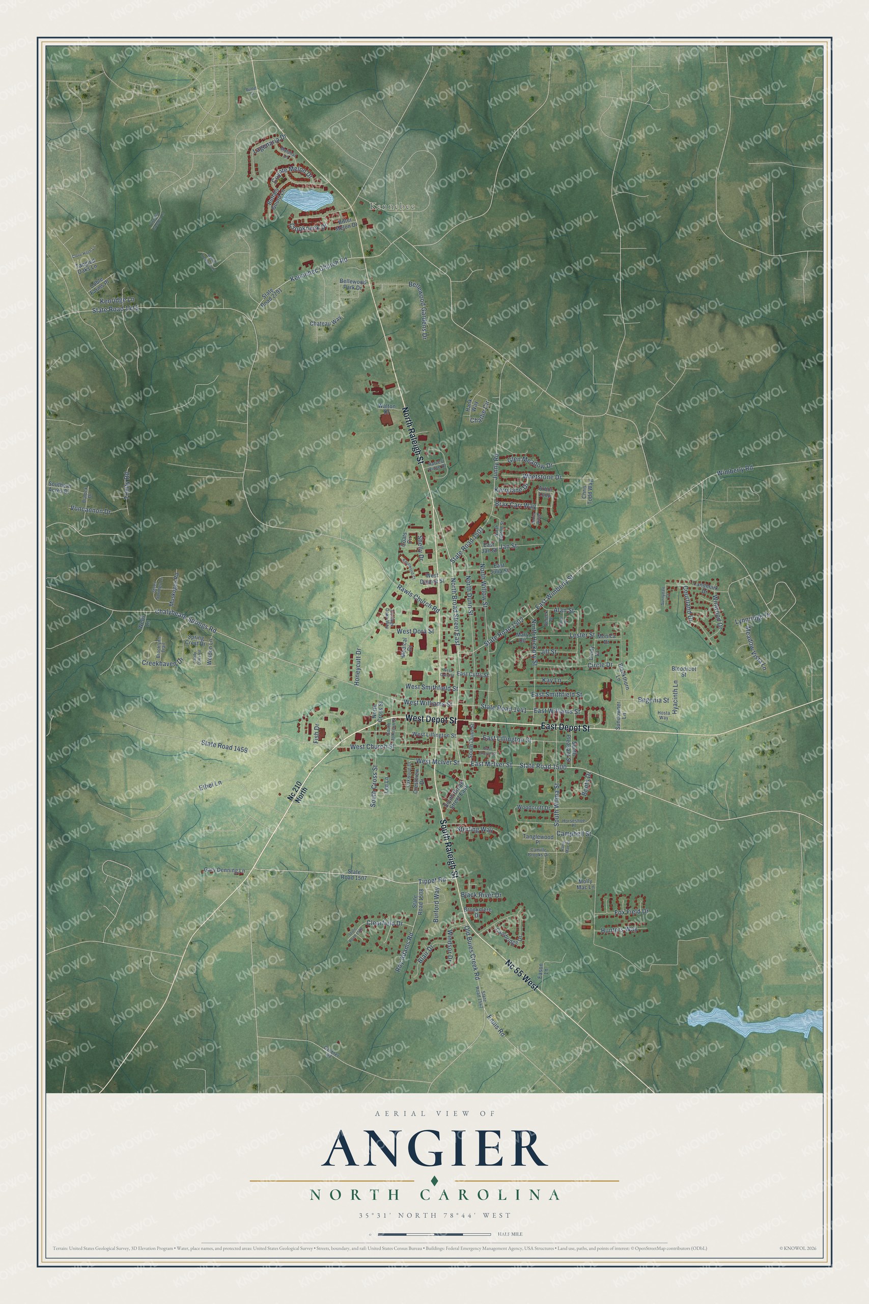
This beautifully detailed map of Angier, North Carolina was created in 2026 using aerial imagery combined with modern topographical, census, street and landmark data. It's a modern aerial view of Angier in Harnett County, North Carolina, that combines modern data with a vintage aesthetic. The roads feature printed names, and if you look closely you can find your exact house accurately shown in its correct location.
Explore an aerial view of Angier, North Carolina
On this map you'll find Kennebec, West Depot Street, East Depot Street, South Raleigh Street, North Raleigh Street, Nc 55 West, North Broad Street East, Tippet Road, State Road 1500, East McIver Street, Kennebec Church Road, West McIver Street, and more. Each red shape is a building, so zoom in on the preview and look for yours.
Angier has a story worth telling. The North Carolina Historic Preservation Office puts it this way: "The Angier High School was lauded upon its dedication in 1919 for its cleanliness and efficiency, and for its contribution to cultural modernization. It soon began to attract away the older students of Williams Grove."
Angier is a town in Harnett County. The Census Bureau counted 5,265 people here in 2020.
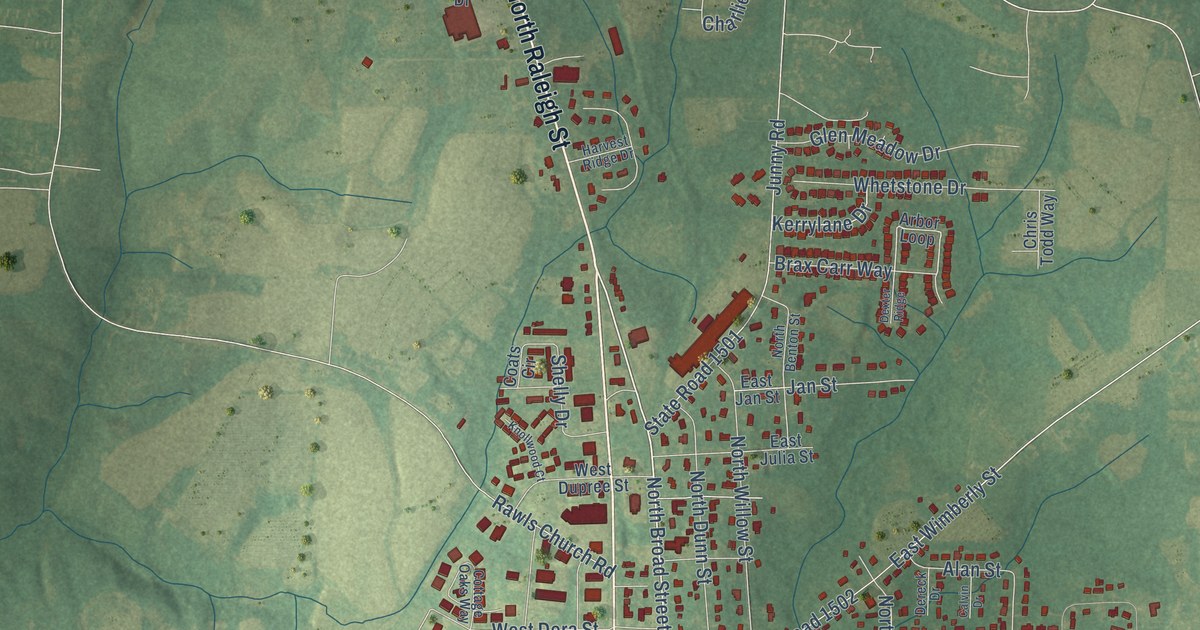
Take a closer look at the Angier map
Names on this map
These names are printed on this map.
Places: Kennebec.
Streets and roads: West Depot Street, East Depot Street, South Raleigh Street, North Raleigh Street, Nc 55 West, North Broad Street East, Tippet Road, State Road 1500, East McIver Street, Kennebec Church Road, West McIver Street, West Williams Street.
More street names, A to Z
Alan Street, Arbor Loop, Begonia Street, Bellewood Gardens Drive, Bellewood Park Drive, Bitter Melon Drive, Black River Drive, Blackthorn Lane, Blair Drive, Blalock Drive, Bloodroot Street, Boots Drive, Brax Carr Way, Brooklynn Trail, Brookmere Drive, Buffalo Gourd Lane, Buffet Court, Burford Way, Calvin Drive, Cambridge Drive, Camille Brooks Drive, Campbell Street, Chalybeate Springs Road, Charlie Circle, Chateau Way, Chris Todd Way, Cindy Drive, Circle Drive, Clearfield Drive, Clove Hitch Lane, Coats Circle, Coble Farms Place, Cottage Oaks Way, Courtland Drive, Coyote Melon Drive, Creekhaven Drive, Crestview Drive, Crookneck Drive, Daniel Treasure Lane, Dereck Drive, Dexter Ridge, Eason Lane, East Church Street, East Cutts Street, East Jan Street, East Julia Street, East Lillington Street, East Smithfield Street, East Williams Street, East Wimberly Street, Ennis Road, Ethel Lane, Fish Drive, Fox Field Drive, Gardner Road, Gary Denning Lane, Glen Meadow Drive, Hank Way, Harvest Ridge Drive, Honeycutt Drive, Horseshoe Place, Hosta Way, Hunters Way, Hyacinth Lane, Jan Street, Jill Street, Junny Road, Kathy Mae Court, Kay Lane, Kenridge Lane, Kerrylane Drive, Knollwood Court, Lagenaria Drive, Landmark Drive, Lee Lane, Lester Street, Lynnridge Drive, Malahar Lane, Mary Circle, Meadow Vista Lane, Medical Drive, Molly Mac Lane, Monica Drive, Muskogee Road, Nc 210 North, North Benton Street, North Cross Street, North Dunn Street, North Hickory Street, North Willow Street, Oakwood Drive, Old Buies Creek Road, Rawls Church Road, Roy Adams Road, Shady Oaks Road, Shelly Drive, South Broad Street East, South Cross Street, South Dunn Street, Southern Acres Drive, South Johnson Street, South Pleasant Street, South Wilma Street, Spring Crest Drive, State Road 1415, State Road 1441, State Road 1459, State Road 1501, State Road 1502, State Road 1507, State Road 1508, State Road 1542, State Road 1588, State Road 2791, Steel Springs Lane, Sterling Way, Sundowner Lane, Sunnydale Court, Tangled Oaks Lane, Tanglewood Place, Trinity Road, Virginia Creeper Lane, Vuncannon Drive, Walton Drive, Weldon Lane, Wells Lane, West Church Street, West Cutts Street, West Dora Street, West Dupree Street, West Lillington Street, West Smithfield Street, Whetstone Drive, Wimberly Road, Windsor Drive, Winwood Drive, Woodcroft Drive.
Created by KNOWOL in 2026. The buildings are small red shapes, the roads carry their printed names, and shaded relief shows the shape of the land. The title panel reads "AERIAL VIEW OF ANGIER NORTH CAROLINA" with 35°31' NORTH 78°44' WEST.
It looks right in a kitchen, an office or a den, and it's a gift for anyone who grew up in Angier or moved away. Open the preview and find your street. See sizes and frames for the Angier map.