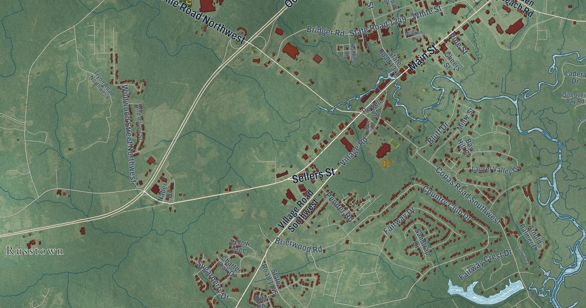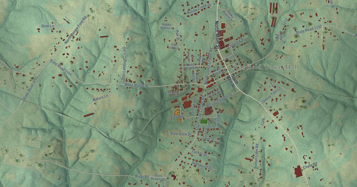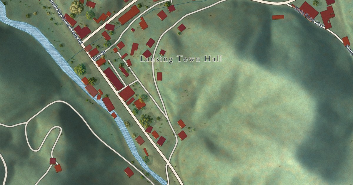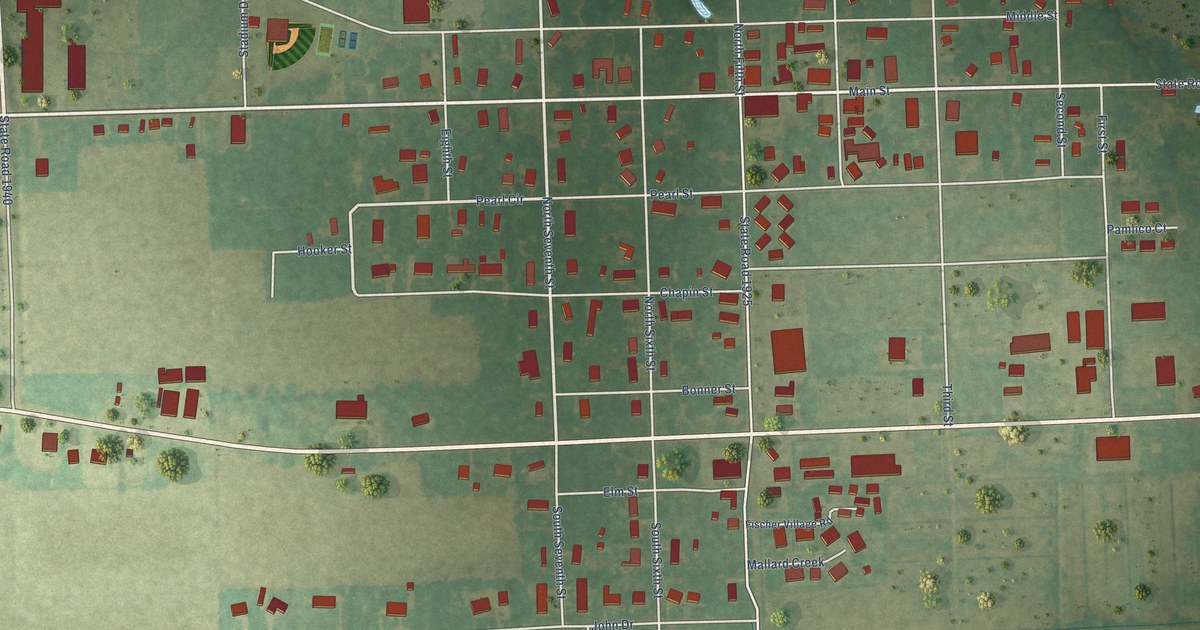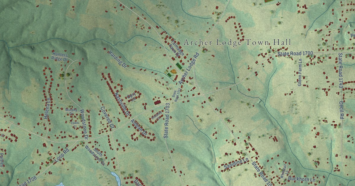
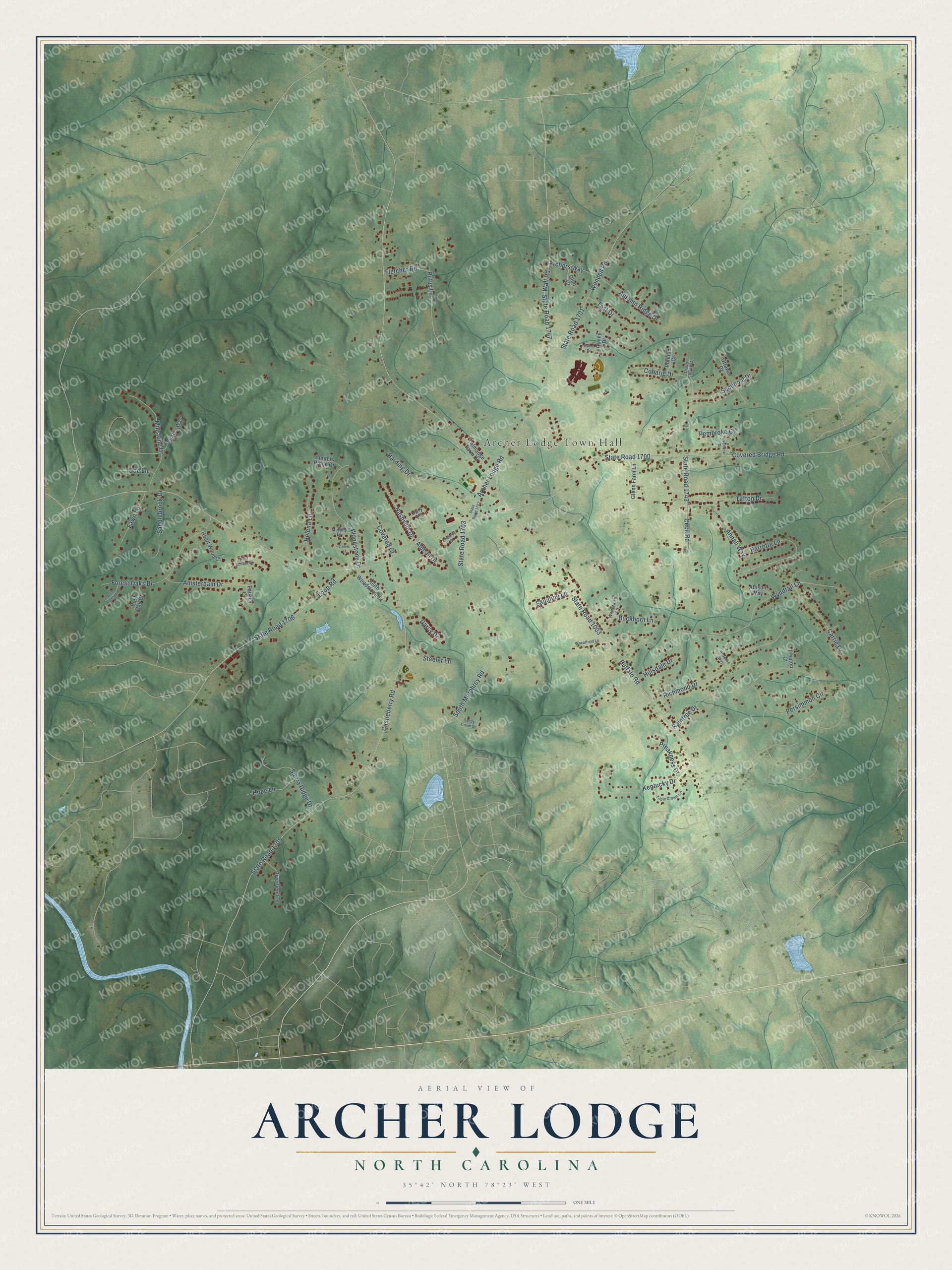
This beautifully detailed map of Archer Lodge, North Carolina was created in 2026 using aerial imagery combined with modern topographical, census, street and landmark data. It's a modern aerial view of Archer Lodge in Johnston County, North Carolina, that combines modern data with a vintage aesthetic. The roads feature printed names, and if you look closely you can find your exact house accurately shown in its correct location.
Explore an aerial view of Archer Lodge, North Carolina
On this map you'll find Archer Lodge Town Hall, Covered Bridge Road, State Road 1700, Buffalo Road, State Road 1003, Castleberry Road, State Road 1705, State Road 1701, Wendell Road, Wyndfall Lane, South Murphrey Road, State Road 1703, and more. Each red shape is a building, so zoom in on the preview and look for yours.
Archer Lodge is a town in Johnston County. The Census Bureau counted 4,797 people here in 2020. The map prints the town name in its title panel, with the coordinates below it.
Take a closer look at the Archer Lodge map
Names on this map
These names are printed on this map.
Places: Archer Lodge Town Hall.
Streets and roads: Covered Bridge Road, State Road 1700, Buffalo Road, State Road 1003, Castleberry Road, State Road 1705, State Road 1701, Wendell Road, Wyndfall Lane, South Murphrey Road, State Road 1703, Loop Road.
More street names, A to Z
Aldean Drive, Allison Way, Amsterdam Drive, Annali Way, Archer Lodge Road, Archers Way, Autumn Ridge Drive, Barrette Lane, Bentley Way, Buckhorn Lane, Bunny Drive, Callie Court, Carrie Drive, Cecil Road, Chesney Court, Coharie Drive, Covered Court, Crazy Horse Court, Darcy Drive, Deep Forest Lane, Doe Lane, Fawn Lane, Fletcher Road, Forest Oaks Drive, Glen Court, Glenn Farm Lane, Harding Drive, Heart Wood Court, Helena Lane, Hillsdale Drive, Hope Lane, Hunters Ridge Drive, Kentucky Drive, Millstone Drive, Murphy Drive, Nashville Drive, Opry Lane, Ottawa Drive, Overlook Drive, Paisley Court, Pembroke Court, Persimmon Circle, Pontiac Court, Post Oak Court, Preakness Drive, Rains Drive, Raintree Drive, Richmond Drive, Riverbend Drive, Roanoke Way, Rufus Lane, Saddlebrook Drive, Sandy Creek Drive, Sanidine Lane, Seminole Drive, Sierra Ridge Drive, South Woodstone Drive, State Road 1702, State Road 1706, State Road 1743, State Road 1747, Steeler Lane, Tafton Drive, Talmadge Farm Drive, Tast Drive, Treetop Court, Triple Crown Circle, Wall Road, West Saddle Court, Wheatfield Lane, Whitetail Lane, Woodstone Drive.
Created by KNOWOL in 2026. The buildings are small red shapes, the roads carry their printed names, and shaded relief shows the shape of the land. The title panel reads "AERIAL VIEW OF ARCHER LODGE NORTH CAROLINA" with 35°42' NORTH 78°23' WEST.
It looks right in a kitchen, an office or a den, and it's a gift for anyone who grew up in Archer Lodge or moved away. Open the preview and find your street. See sizes and frames for the Archer Lodge map.