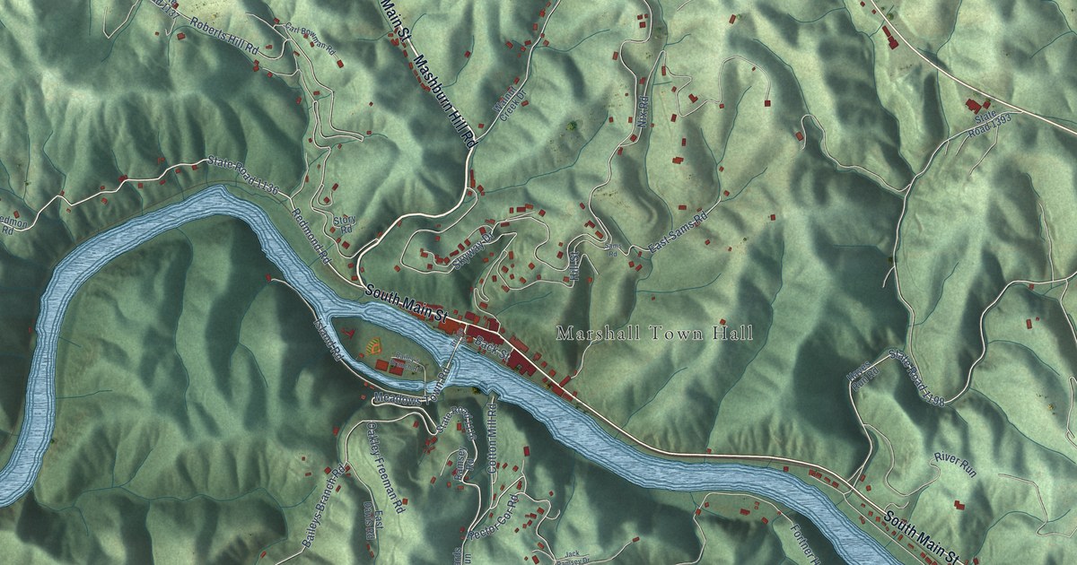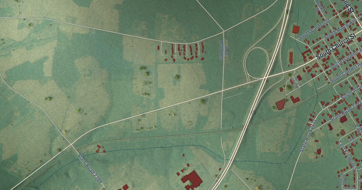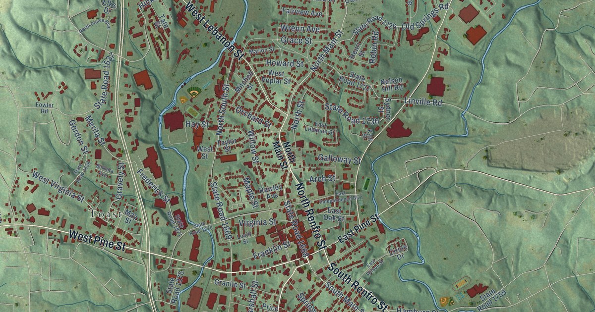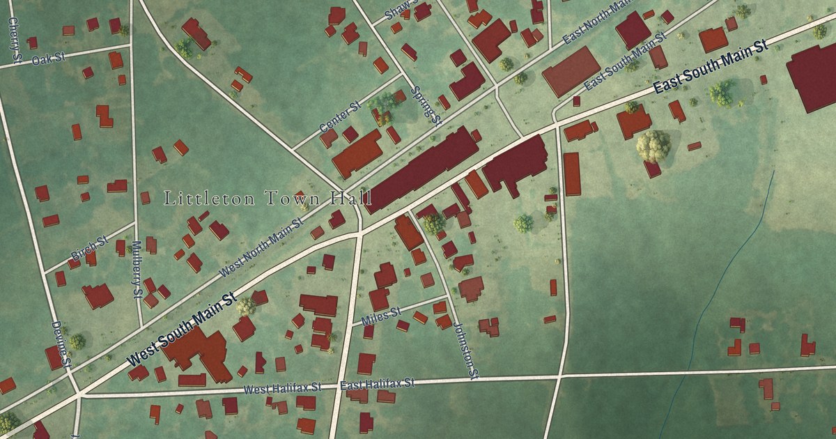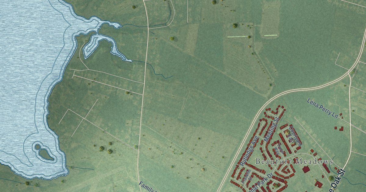
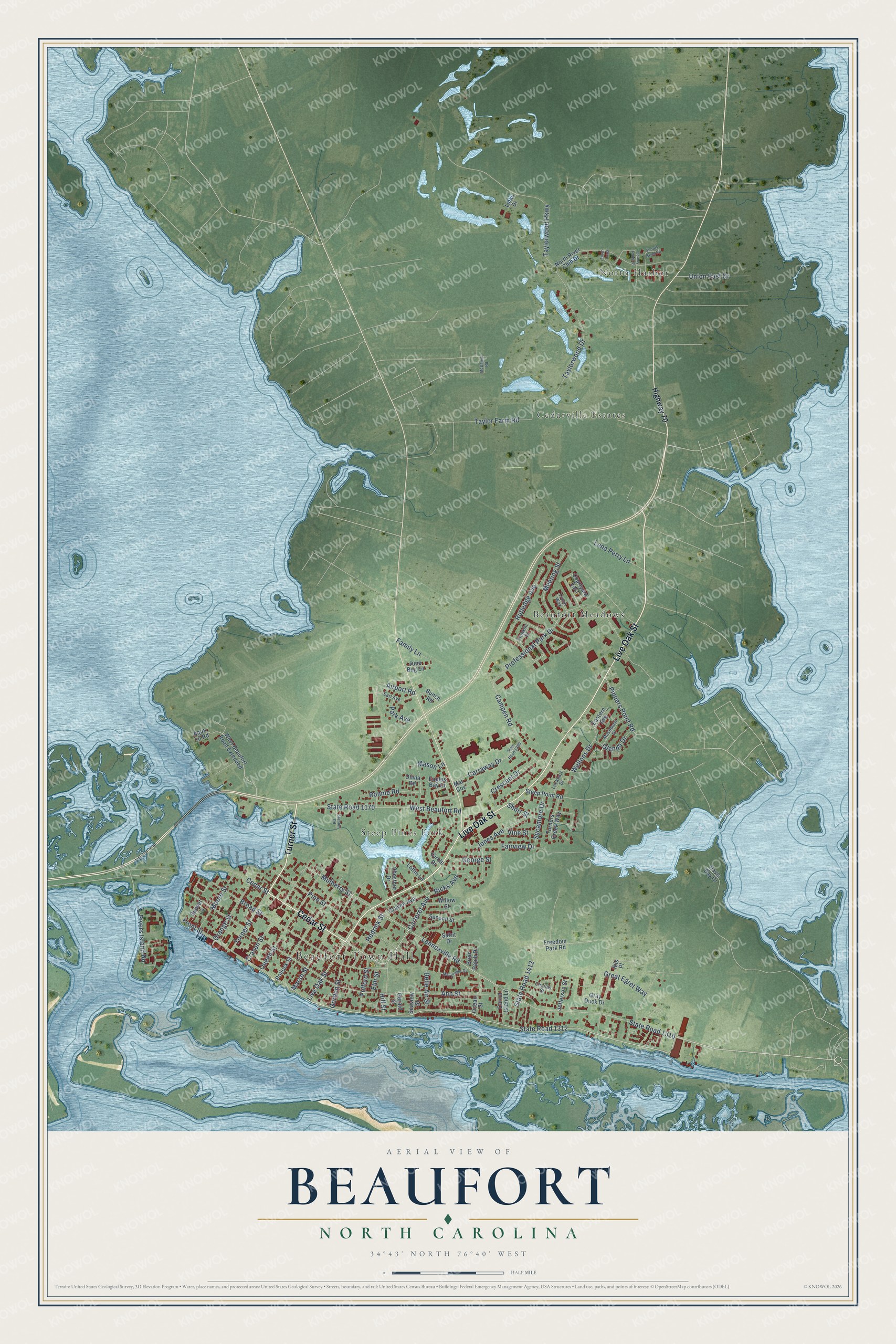
This beautifully detailed map of Beaufort, North Carolina was created in 2026 using aerial imagery combined with modern topographical, census, street and landmark data. It's a modern aerial view of Beaufort in Carteret County, North Carolina, that combines modern data with a vintage aesthetic. The roads feature printed names, and if you look closely you can find your exact house accurately shown in its correct location.
Explore an aerial view of Beaufort, North Carolina
On this map you'll find Beaufort Town Hall, North Harbor, Cedarville Estates, Beaufort Meadows, Steep Pines Fork, Turner Street, Cedar Street, Live Oak Street, State Road 1312, Carteret Avenue, Fairview Drive, Hedrick Street, and more. Each red shape is a building, so zoom in on the preview and look for yours.
Beaufort has a story worth telling. The record at dncr.nc.gov puts it this way: "The first sustained marine research in Beaufort was sponsored by the Chesapeake Zoological Laboratory of The John Hopkins University."
Beaufort is a town in Carteret County. The Census Bureau counted 4,464 people here in 2020.
Take a closer look at the Beaufort map
Names on this map
These names are printed on this map.
Places: Beaufort Town Hall, North Harbor, Cedarville Estates, Beaufort Meadows and Steep Pines Fork.
Streets and roads: Turner Street, Cedar Street, Live Oak Street, State Road 1312, Carteret Avenue, Fairview Drive, Hedrick Street, West Beaufort Road, Pivers Island Road, Front Street, State Road 1310, Lennoxville Road.
More street names, A to Z
Airport Road, Ann Street, Aqua 10 Road, Belle Air Street, Briar Patch Drive, Broad Street, Bunch Road, Campen Road, Carraway Drive, Carrot Island Lane, Charles Street, Chestnut Drive, Circle Drive, Colony Point Street, Courtyard East, Craven Avenue, Craven Street, Crescent Drive, Davis Bay Drive, Eagles Bay Court, Earl Avenue, Eastern Avenue, Elm Street, Family Lane, Finch Loop, Franklin Street, Freedom Park Road, Fulford Street, George Street, Gerald Street, Glenda Drive, Gordon Street, Gray Duck Drive, Great Egret Way, Highway 70, Hill Street, Ibis Place, Jefferson Street, Jones Avenue, June Bug Lane, Lena Perry Lane, Links Drive, Lockhart Drive, Loftin Lane, Macgregor Drive, Mar Cov, Marsh Street, Mashburn Drive, Mason Lane, McDaniel Road, Meeting Street, Moore Street, Mulberry Street, North River Club Drive, Ocean Street, Olivia Road, Orange Street, Park Avenue, Pine Street, Pinners Point Road, Pollock Street, Professional Park Drive, Queen Street, Ricks Avenue, Ronnie Road, Rutledge Avenue, Safrit Drive, Scouts Bend Road, Seaview Street, Second Street, Short Street, Stanton Road, State Road 1170, State Road 1299, State Road 1412, Steep Point Road, Sunset Lane, Sycamore Drive, Taylor Farm Road, Taylorwood Drive, Taylorwood Parkway, Troon Way, Turners Creek Way, Union East Drive, Vine Street, Wellons Drive, West Beaufort Road Extended, Willow Street.
Created by KNOWOL in 2026. The buildings are small red shapes, the roads carry their printed names, and shaded relief shows the shape of the land. The title panel reads "AERIAL VIEW OF BEAUFORT NORTH CAROLINA" with 34°43' NORTH 76°40' WEST.
It looks right in a kitchen, an office or a den, and it's a gift for anyone who grew up in Beaufort or moved away. Open the preview and find your street. See sizes and frames for the Beaufort map.