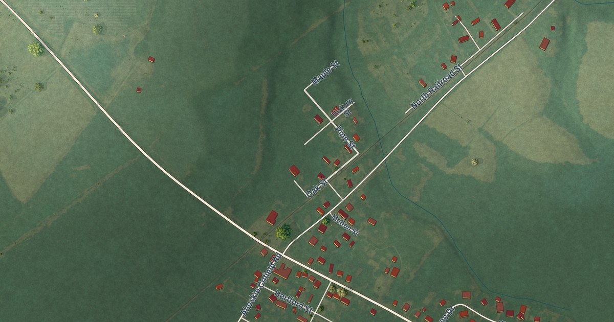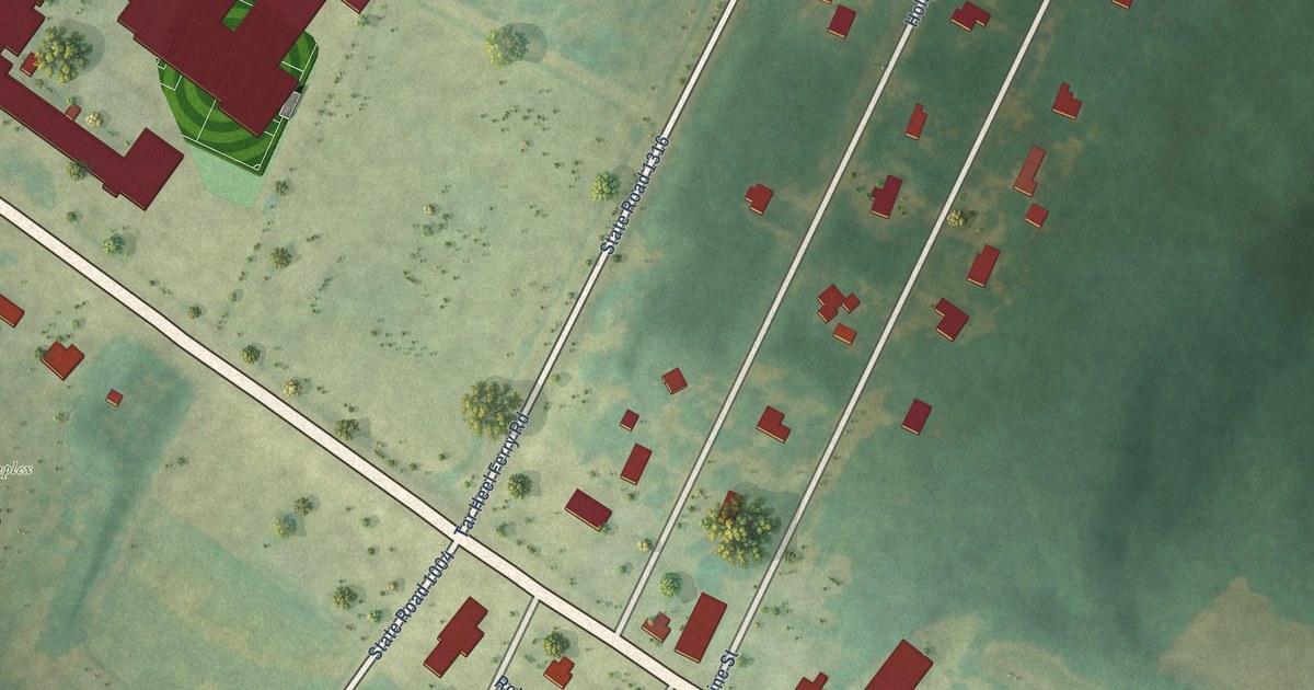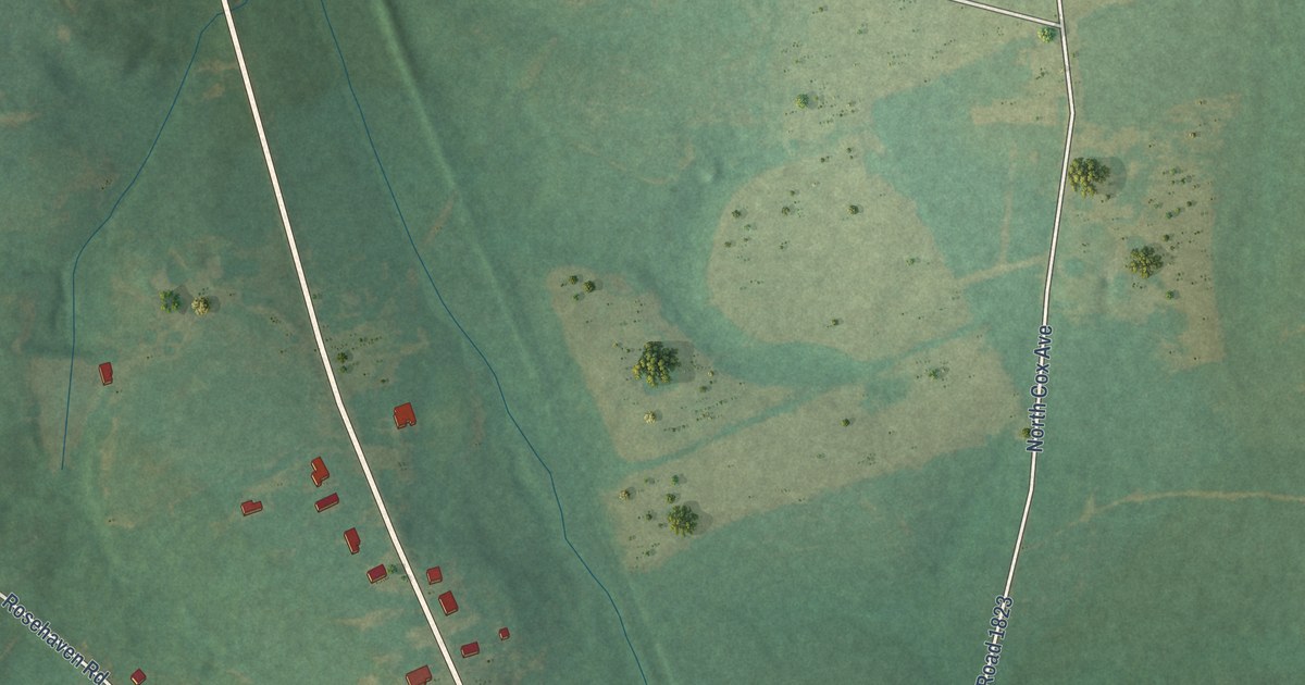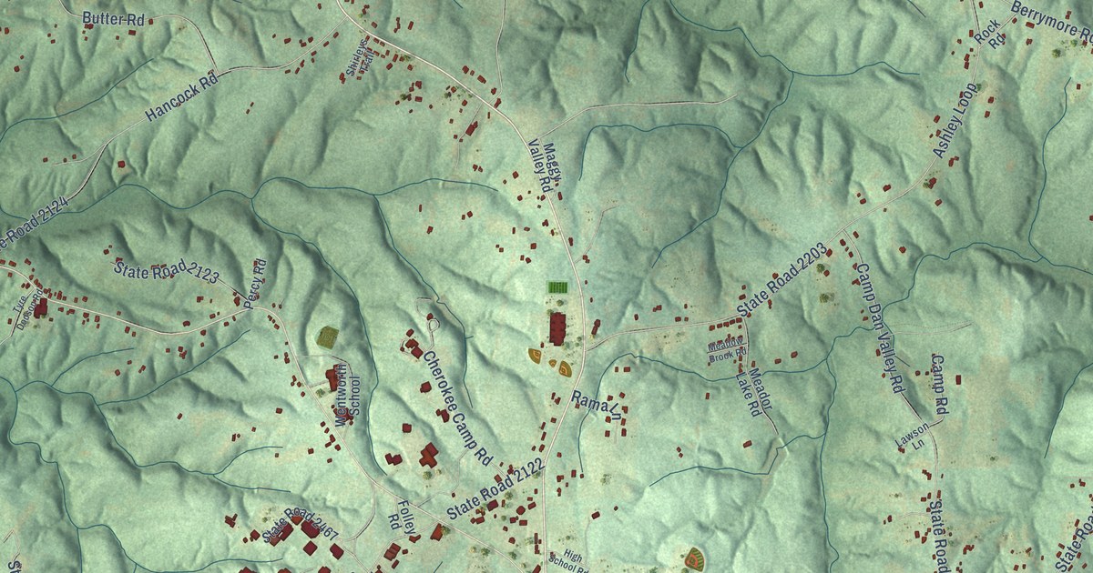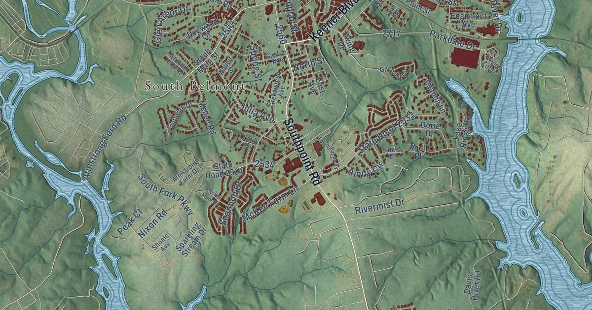
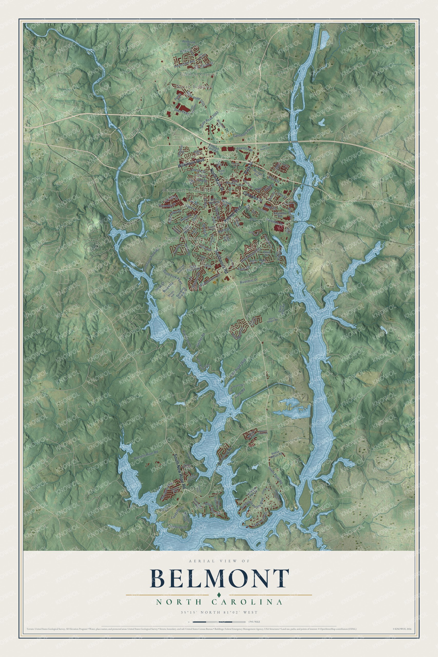
This beautifully detailed map of Belmont, North Carolina was created in 2026 using aerial imagery combined with modern topographical, census, street and landmark data. It's a modern aerial view of Belmont in Gaston County, North Carolina, that combines modern data with a vintage aesthetic. The roads feature printed names, and if you look closely you can find your exact house accurately shown in its correct location.
Explore an aerial view of Belmont, North Carolina
On this map you'll find Belmont City Hall, Goshen Grove, North Belmont, South Belmont, Southpoint Road, Park Street, North Main Street, Keener Boulevard, Catawba Street, Wilkinson Boulevard, South New Hope Road, South Point Road, and more. Each red shape is a building, so zoom in on the preview and look for yours.
Belmont has a story worth telling. The record at dncr.nc.gov puts it this way: "At Belmont twenty-one railroad employees were working with a derrick to remove debris from the piers when the bridge fell; ten drowned."
Belmont is a city in Gaston County. The Census Bureau counted 15,010 people here in 2020.
Take a closer look at the Belmont map
Names on this map
These names are printed on this map.
Places: Belmont City Hall, Goshen Grove, North Belmont and South Belmont.
Streets and roads: Southpoint Road, Park Street, North Main Street, Keener Boulevard, Catawba Street, Wilkinson Boulevard, South New Hope Road, South Point Road, State Road 2093, Hawley Avenue, Armstrong Ford Road, Reflection Pointe Boulevard.
More street names, A to Z
13th Street, Acme Road, Alice Avenue, Amanda Lane, Amity Circle, Ardent Trail, Armstrong Farm Drive, Armstrong Road, Ashwood Park Drive, Assembly Street, Beauhaven Lane, Belle Meade Circle, Belmont Avenue, Bentbrush Drive, Brook Street, Caldwell Farm Road, Canal Road, Cape August Place, Caromont Parkway, Cason Street, Cathedral Drive, Cedar Street, Christy Lane, Clay Street, Croyden Loop, Davis River Road, Dogwood Lane, Dorie Drive, Eagle Road, East Avenue, East Woodrow Avenue, Edgemont Avenue, Emily Drive, Ervin Street, Ewing Drive, Faith Street, Featherton Drive, Gaither Road, Garibaldi Ridge Court, Garrison Drive, Gaston Avenue, Gilchrist Circle, Gladelynn Court, Glen Arbor Drive, Graystone Estates Drive, Greenwood Avenue, Henry Chapel Road, Howe Street, James Drive, Julia Avenue, Kent Drive, Knoll Place, Lakeforest Drive, Lake Pointe Drive, Lake Ridge Drive, Landyard Lane, Lexington Street, Lincoln Street, Linestowe Drive, Mayapple Way, McKee Farm Lane, McLean Avenue, McLeod Avenue, Mellon Road, Mercy Drive, Morgans Branch Road, Nixon Road, North Street, Oaks Parkway, Oak Street, Parkdale Drive, Park Drive, Peak Court, Pebble Creek Drive, Perfection Avenue, Planetree Drive, Plum Street, Poplar Street, Rachel Anne Drive, Rankin Street, Reese Wilson Road, River Drive, Riverfront Drive, Rivermist Drive, Sandy Point Lane, Seven Oaks Landing, Shannon Drive, Shoals Avenue, Sixth Street, Sloan Street, Southfork Drive, South Fork Parkway, South Main Street, South Shore Drive, Sparkling Stream Drive, Spring Cove Way, Spring Street, State Road 2021, State Road 2024, State Road 2040, State Road 2111, State Road 2531, State Road 2533, State Road 2534, State Road 2646, State Road 2801, Todd Street, Township Parkway, Trillium Way, Vine Street, Walnut Street, Waterton Trail, West Myrtle Street, Wimmer Circle, Woodland Bay Drive, Worrells River Road, Wylie Loop.
Created by KNOWOL in 2026. The buildings are small red shapes, the roads carry their printed names, and shaded relief shows the shape of the land. The title panel reads "AERIAL VIEW OF BELMONT NORTH CAROLINA" with 35°15' NORTH 81°02' WEST.
It looks right in a kitchen, an office or a den, and it's a gift for anyone who grew up in Belmont or moved away. Open the preview and find your street. See sizes and frames for the Belmont map.