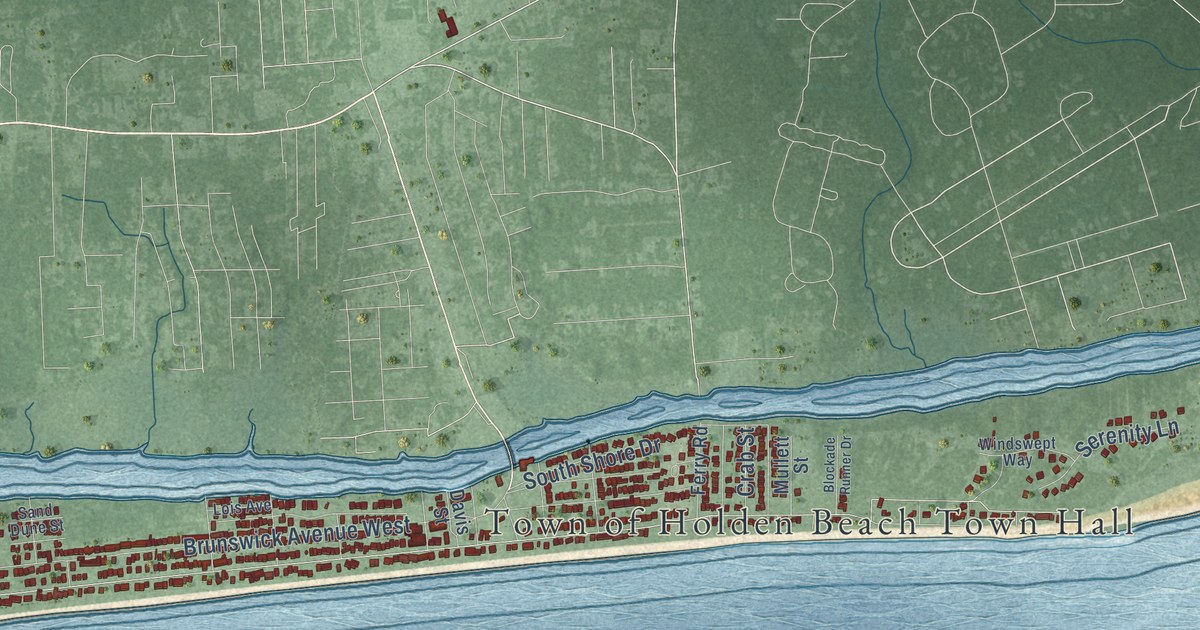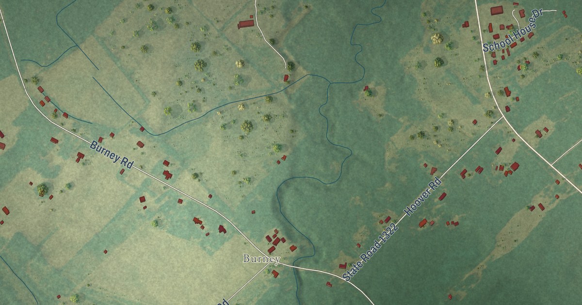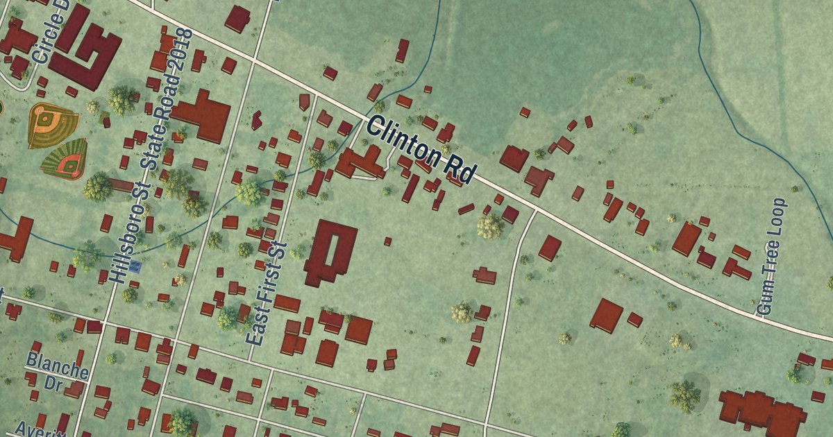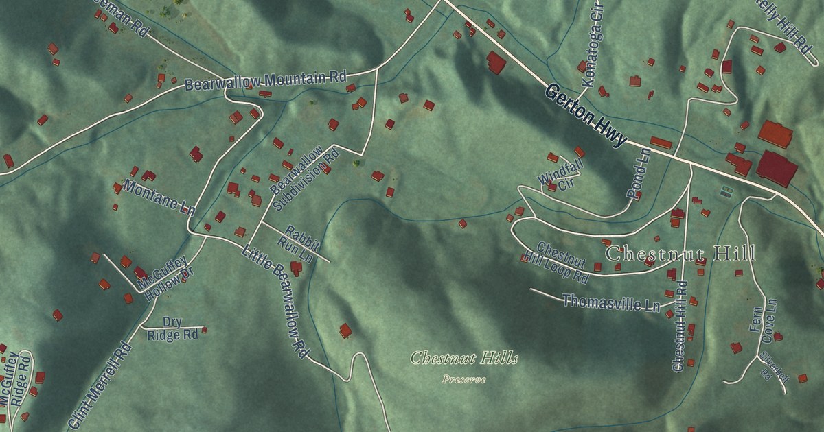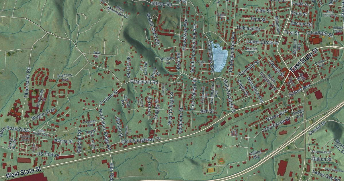
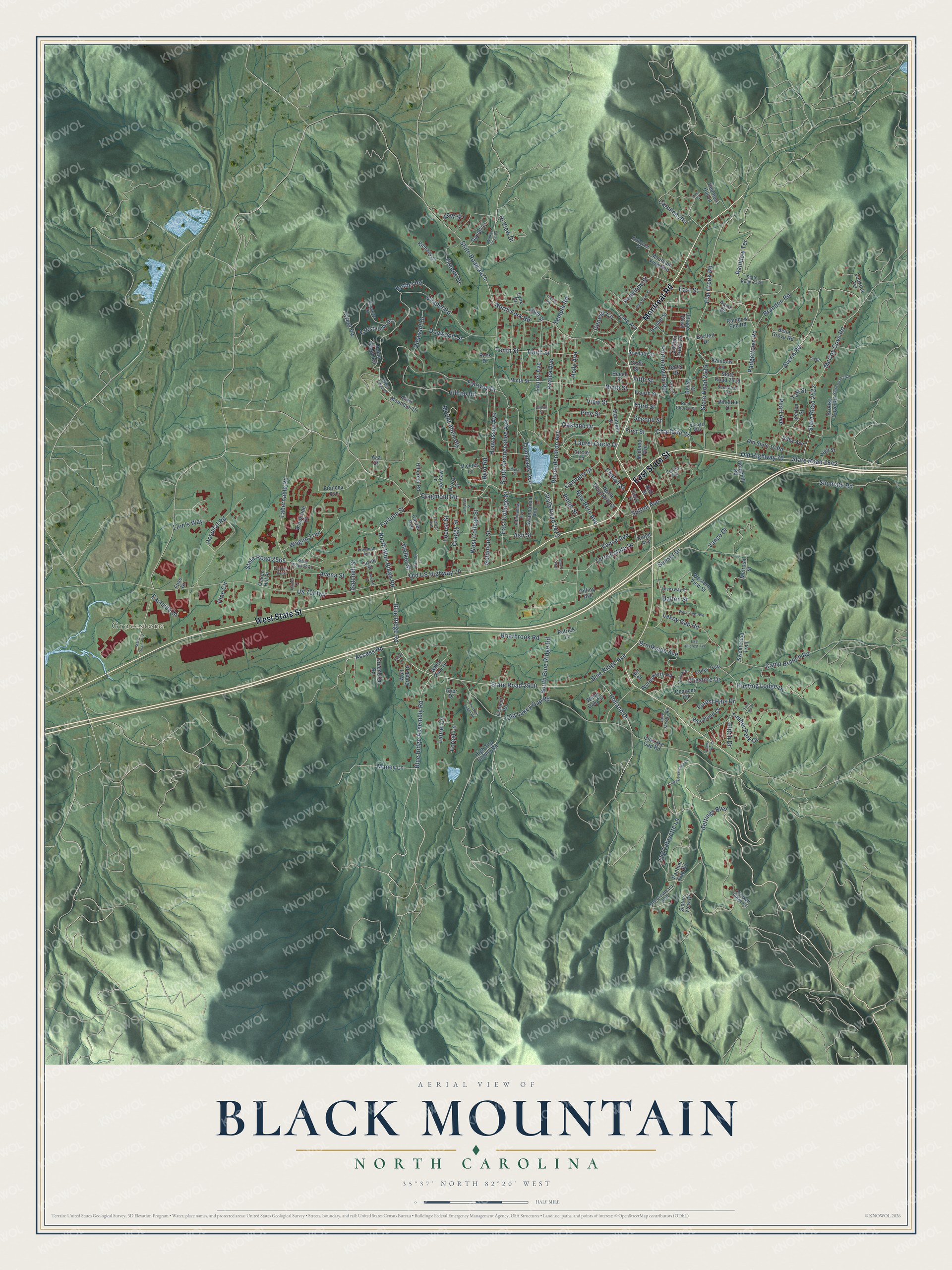
This beautifully detailed map of Black Mountain, North Carolina was created in 2026 using aerial imagery combined with modern topographical, census, street and landmark data. It’s a one-of-a-kind view of Black Mountain that combines accurate data with a vintage aesthetic. The map shows every building in its true location, many of the roads carry their names, and the shaded topographic relief shows the shape of the land.
Explore an aerial view of Black Mountain, North Carolina
On the map you’ll find Grovestone, along with East State Street, West State Street, Montreat Road, Blue Ridge Road, Blue Ridge Assembly Road, North Blue Ridge Road, Charlotte Street, Access Road, Settings Boulevard, Avena Road, Terry Estate Drive, and more. If you look closely you can even find your house accurately drawn in its correct location. Zoom in on the preview to look for yours.
Did you know this piece of Black Mountain, North Carolina history?
From the NC Highway Historical Marker Program: "Black Mountain College was established in 1933 by a group of Rollins College faculty, disgruntled over the firing of Professor John Andrews Rice by the college president. Led by Josef Albers, the Black Mountain faculty included several scholars forced to leave Europe during the 1930s."
Take a closer look at the Black Mountain map
Street and place names on the Black Mountain, North Carolina map
These names are printed on the map of Black Mountain, North Carolina.
Places: Grovestone.
Streets and roads: East State Street, West State Street, Montreat Road, Blue Ridge Road, Blue Ridge Assembly Road, North Blue Ridge Road, Charlotte Street, Access Road, Settings Boulevard, Avena Road, Terry Estate Drive, Padgettown Road.
More street names, A to Z
Alexander Street, Allen Mountain Drive, Altamahaw Avenue, Amy's Way, Aqua Drive, Asa Court, Ash Street, Avena Street, Azalea Avenue, Ball Street, Bartlett Drive, Beech Street, Beechtree Drive, Belle Drive, Belle Grove Road, Bethel Road, Blue Ridge Avenue, Brandon Road, Briarbrook Road, Brooks Cove Road, Brookside Avenue, Brookside Drive, Brook Street, Byrd Road, Campbell Street, Camp Branch Road, Carolina Heights, Carver Avenue, Cement Road, Center Avenue, Central Avenue, Chapel Road, Chaucer Road, Cherry Street, Cheshire Drive, Chestnut Lodge Road, Church Street, Circle Lane, Connally Street, Cottage Settings Lane, Cotton Creek Drive, Craggy Street, Cragmont Road, Crestview Drive, Crest Vw, Crockett Ridge Road, Dalton Street, Daniel Lane, Davis Drive, Dilling Avenue, Disosway Street, Dogwood Drive, Donne Drive, Dyer Drive, East College Street, East Hillcrest Avenue, Eastside Drive, East Street, Eighth Street, Endeavor Place, Fairway Drive, Fifth Street, First Street, Flat Creek Road, Forest Hills Drive, Forest Lane, Fortune Street, Fourth Street, Frances Avenue, Freeman Avenue, Fuse Drive, Gatchell Street, Genesis Circle, Glitch Drive, Goldmont Street, Greenbriar Road, Greene Drive, Hamlet Street, Hemphill Road, Hiawassee Avenue, High Street, High Top Colony Road, Hillcrest Road, Hill Street, Hilltop Road, Hi View Drive, Holland Drive, Holly Avenue, Hospital Road, Hunting Lodge Drive, Jane Jacobs Road, Jeanie Avenue, Julian Drive, Kent Street, Kerlee Street, Kitzies Court, Lake Avenue, Lakey Gap, Lakey Gap Road, Laurel Avenue, Laurel Circle Drive, Laurel Lane, Lion's Way, Llama Vista Court, Locust Street, Lookout Terrace, Lynx Drive, Maney Lane, McCoy Cove Road, Melrose Street, Midland Avenue, Mountain Street, Mountain View Avenue, Mount Allen Heights, Nesbitt Drive, New Bern Avenue, Ninth Street, North Dougherty Street, North Fork Road, Oaken Hill Place, Oakland Drive, Old Greybeard Loop, Old Highway 70, Old Lafayette Lane, Old Lake Gap Road, Old Lakey Gap Road, Old State 10 Road, Old US Highway 70, Owenby Lane, Panther Gap Road, Patrick Lane, Pearl Avenue, Penelope Street, Peridot Point, Pine Circle, Pine Street, Pinetree Drive, Pinnacle Drive, Pleasant Drive, Poplar Street, Portmanvilla Road, Rainbow End Road, Rainbow Lane, Rainbow Terrace, Reunion Hill Lane, Rhododendron Avenue, Richard Lane, Ridge Avenue, Ridge Street, Robin Ridge Road, Rock Church Street, Ross Drive, Ruby Avenue, Ruth Street, Second Street, Seventh Street, Shumate Road, Sisters View Drive, Sixth Street, South Blue Ridge Road, South Oconeechee Avenue, State Road 2471, State Road 2472, State Road 2473, State Road 2474, State Road 2500, State Road 2515, State Road 2519, State Road 2520, State Road 2522, State Road 2526, State Road 2542, State Road 2565, Stepp Street, Sunset Drive, Sutton Avenue, Swannanoa Avenue, Sweetwood Trail, Tabernacle Road, Taft Street, Taylor Street, Temple Road, Tenth Street, Third Street, Timber Park Drive, Tomahawk Avenue, Tree Top Place, US 70 Highway, Vance Avenue, Vance Drive, Vickies Lane, View Street, Village Parkway, Village Way, Vine Street, Wagon Trail, Walker Cove Road, Walker Street, Weaver Lane, West Chapel, West College Street, Western View Street, West View Avenue, White Oak Circle, White Pine Drive, Wolf Creek Drive, Woodland Court, Wordsworth Road, Yale.
See the Black Mountain, North Carolina map on a wall
The Black Mountain map as an 18 x 24 inch print in a black frame.

This beautifully detailed map of Black Mountain makes an attractive addition to your office, library, or den, and it can even be used to teach children the geography and history of the area. It also makes a great gift for anyone with Black Mountain roots. When you’re done exploring, click here to get your copy of the Black Mountain map.