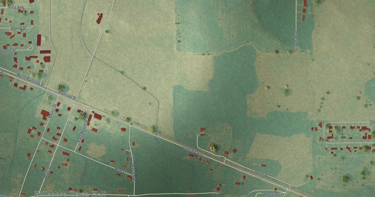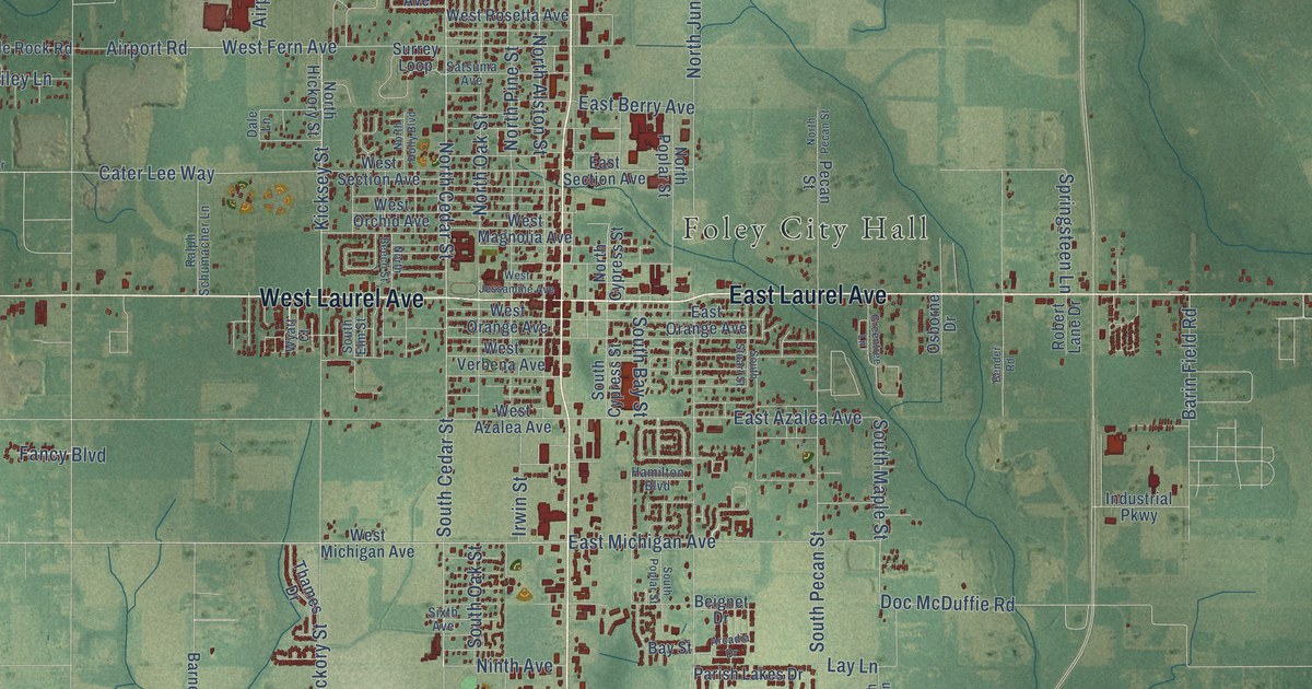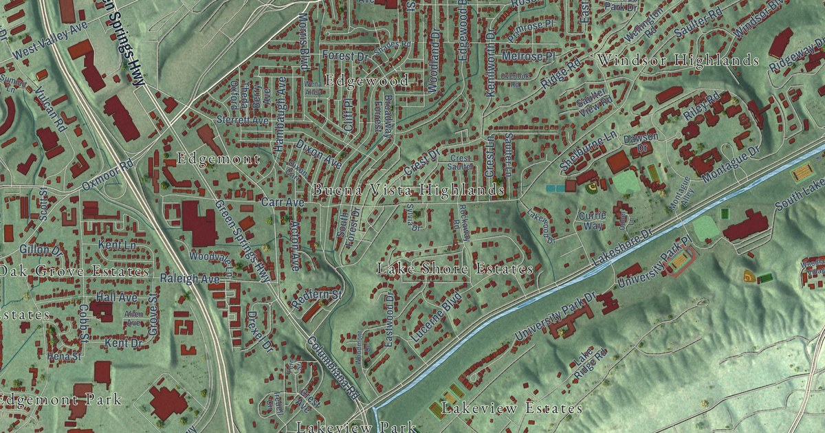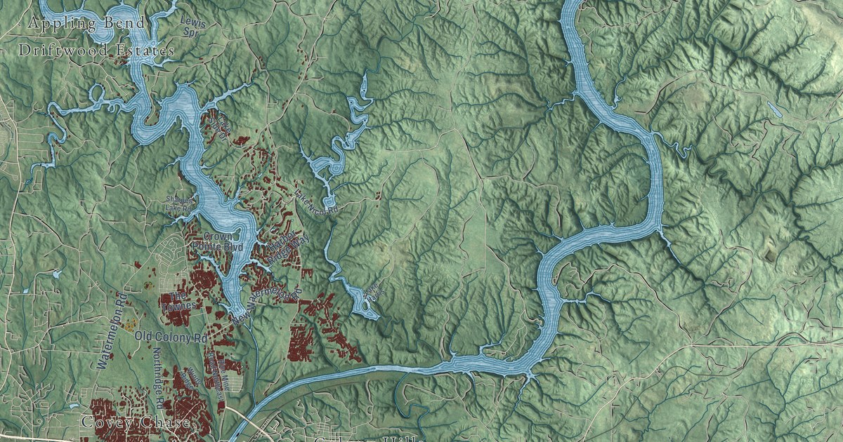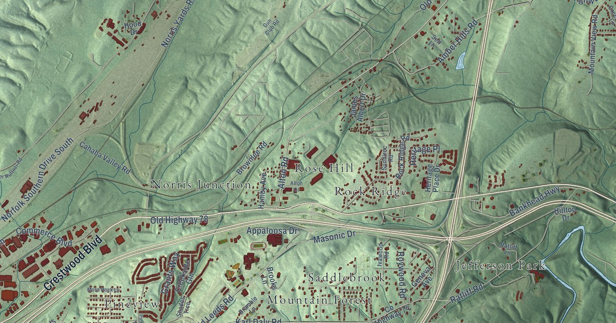
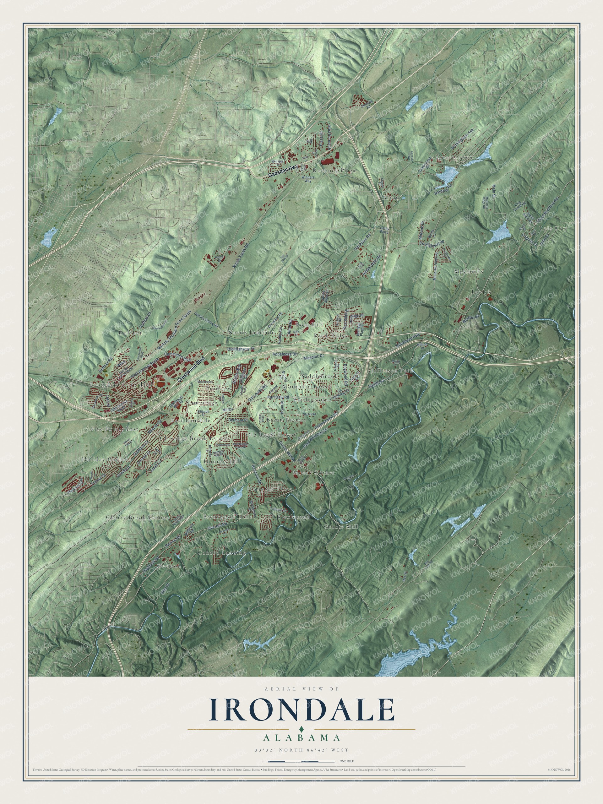
This beautifully detailed map of Irondale, Alabama was created in 2026 using aerial imagery combined with modern topographical, census, street and landmark data. It's a modern aerial view of Irondale in Jefferson County, Alabama, that combines modern data with a vintage aesthetic. The roads feature printed names, and if you look closely you can find your exact house accurately shown in its correct location.
Explore an aerial view of Irondale, Alabama
On this map you'll find Irondale City Hall, Lola City, Alton, Battleground, Brentwood Hills, Brookmont, Bryan Estates, Cahaba Landing, Cherokee Brook Estates, Cherry Brook Estates, East Irondale, Five Points East, and more. Each red shape is a building, so zoom in on the preview and look for yours.
Every town has a first chapter, and Irondale is no exception. The record at encyclopediaofalabama.org puts it this way: "McElwain constructed the Irondale Furnace on what would become the town site, and the area was known as Irondale by local residents."
Irondale is a city in Jefferson County. The Census Bureau counted 13,497 people here in 2020.
Take a closer look at the Irondale map
Names on this map
These names are printed on this map.
Places: Irondale City Hall, Lola City, Alton, Battleground, Brentwood Hills, Brookmont, Bryan Estates, Cahaba Landing, Cherokee Brook Estates, Cherry Brook Estates, East Irondale, Five Points East, Grants Mill, Hampton Place, Holiday Gardens, Hunters Hill, Jefferson Park, Lovick, McCombs, Moore Corner, Mountain Forest, Norris Junction, Old Leeds Forest, Overton, Pineview, Queenstown, Rock Ridge, Roebuck Plaza, Rose Hill, Ruffner, Saddlebrook and Stoneridge.
Streets and roads: Crestwood Boulevard, Gadsden Highway, Alton Road, Bankhead Highway, Ruffner Road, Grants Mill Road, Overton Road, Amber Hills Road, Grantswood Road, County Highway 98, Old Leeds Road, Floyd Bradford Road.
More street names, A to Z
15th Street, Alley, Alton Court, Appaloosa Drive, Bainbridge Trace Drive, Beacon Drive, Belmont Place, Belmont Road, Bermuda Drive, Birmingham Avenue, Bramble Lane, Brookmont Drive, Brooks Lane, Brownlee Road, Bryan Drive, Bryan Street, Burns Lane, Cahaba Valley Road, Cherry Brook Run, Clayton Street, Cloud Crest Drive, Commerce Boulevard, Cornell Drive, County Highway 74, Creekside Gln, Creekview Lane, Crowley Drive, Deering Street, Derby Parkway, East Forest Drive, Edwards Street, Ethel Lane, Fifth Avenue South, First Avenue North, First Avenue South, Fulmar Drive, Geneva Avenue, Goldmar Drive, Grants Way, Grantswood Place, Gun Club Road, Hagbush Road, Hamby Avenue, Havenhill Drive, Heritage Place, Heritage Place Drive, Hillsedge Road, Hilltop Drive, Hood Drive, Horst Hill Road, Hunters Hill Road, Ivawood Road, Ivy Drive, James Albert Drive, Janet Lane, John Street, Karl Daly Road, Lola Cutoff Road, Lower Ruffner Road, Main Street, Mary Taylor Road, Masonic Drive, Mill Lane, Millstone Road, Monroe Drive, Montevallo Road, Morgan Road, Morrow Road, Moss Rock Lane, Mountain Ridge Road, Mountain View Road, Nameless Road, Norfolk Southern Drive South, Norris Yards Road, Old Alton Road, Old Grants Mill Road, Old Highway 78, Old Ivy Road, Pine Street, Pineview Road, Pine Whispers Drive, Plaza Drive, Queenstown Road, Ransom Road, Ratliff Lane, Ratliff Road, Ravine Road, Rex Lake Road, Rex Street, Rock Ridge Road, Roywood Road, Ruffner Court, Scenic View Drive, Second Avenue North, Self Lane, Shades Trce, Sharpsburg Drive, Smith Sims Road, Sunniroc Road, Sunset Boulevard, Terry Lane, Trillium Drive, Ventura Drive, Virginia Street, William Drive, Winners Way, Wonder Lane, Wood Street.
Created by KNOWOL in 2026. The buildings are small red shapes, the roads carry their printed names, and shaded relief shows the shape of the land. The title panel reads "AERIAL VIEW OF IRONDALE ALABAMA" with 33°32' NORTH 86°42' WEST.
Hang it in the hallway, the office or the cabin, or give it to someone who left Irondale and still calls it home. Open the preview and look for a street you know. See sizes and frames for the Irondale map.