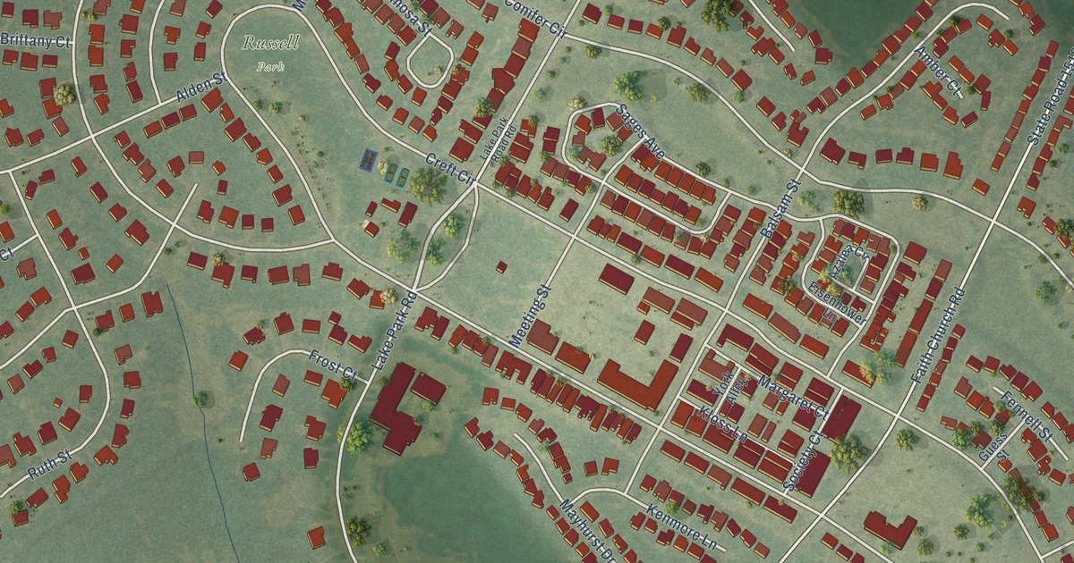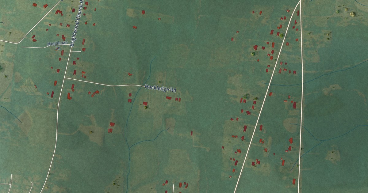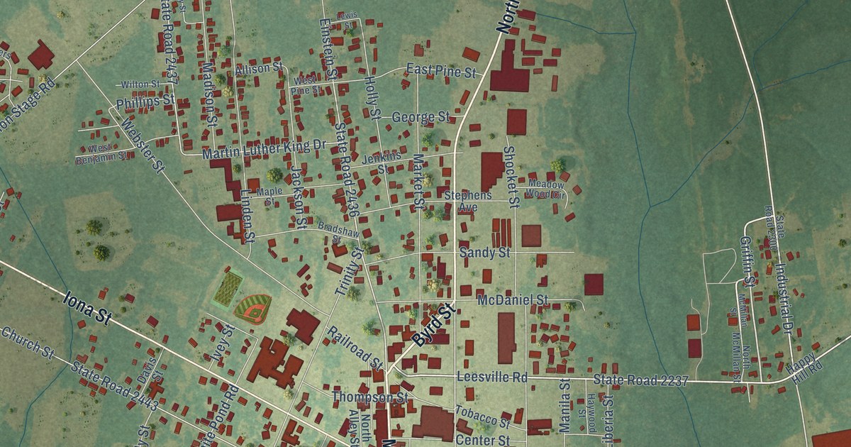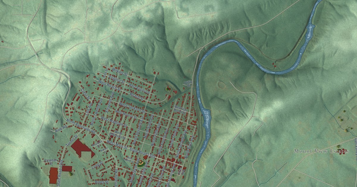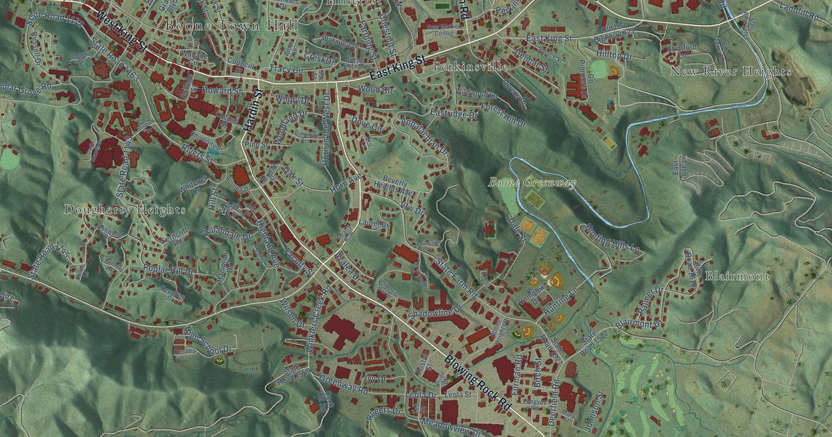
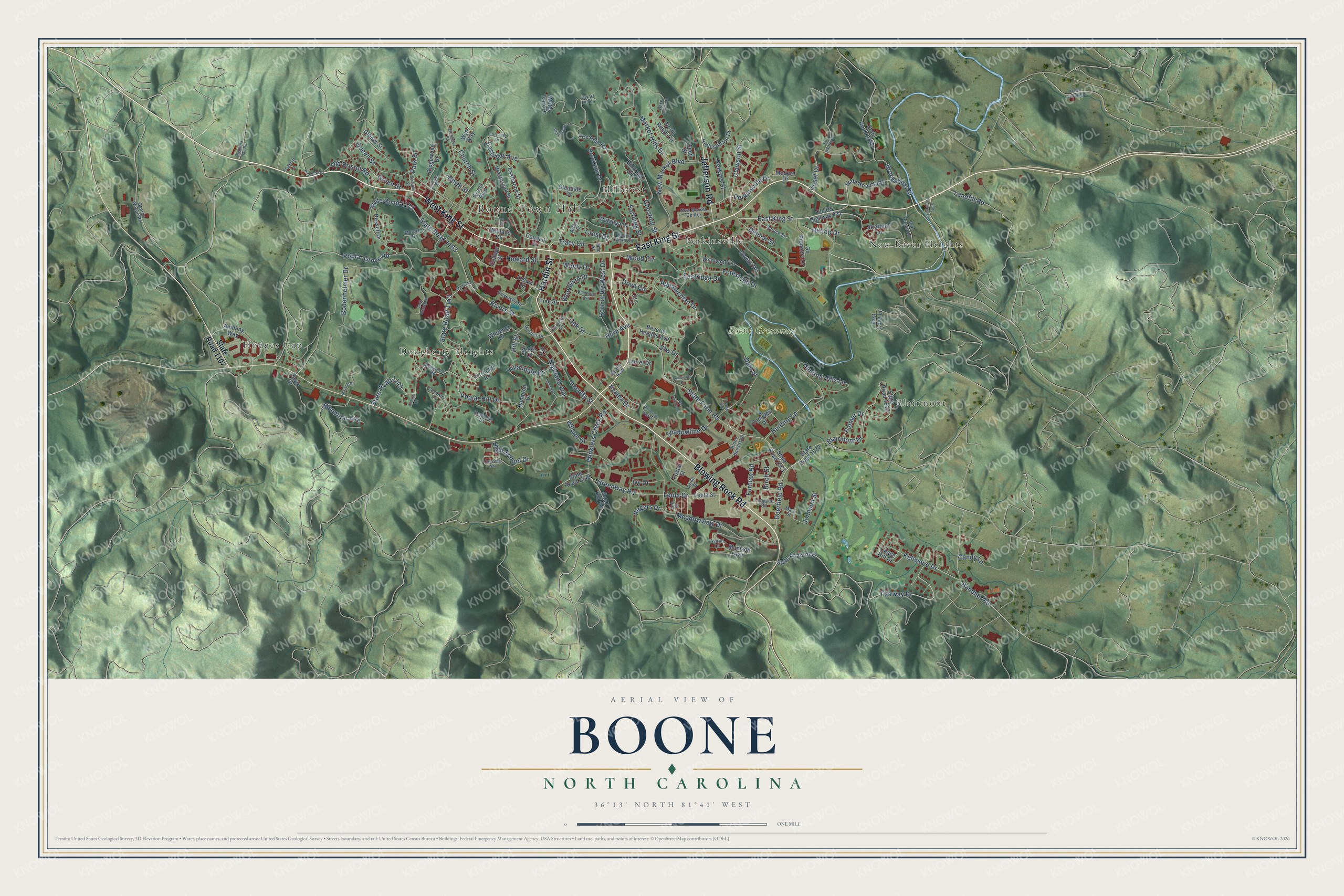
This beautifully detailed map of Boone, North Carolina was created in 2026 using aerial imagery combined with modern topographical, census, street and landmark data. It's a modern aerial view of Boone in Watauga County, North Carolina, that combines modern data with a vintage aesthetic. The roads feature printed names, and if you look closely you can find your exact house accurately shown in its correct location.
Explore an aerial view of Boone, North Carolina
On this map you'll find Boone Town Hall, Blairmont, Boone Greenway, Dougherty Heights, Hillcrest, Hodges Gap, New River Heights, Perkinsville, Blowing Rock Road, West King Street, East King Street, Hardin Street, and more. Each red shape is a building, so zoom in on the preview and look for yours.
Boone has a story worth telling. The record at ncpedia.org puts it this way: "Appalachian State University was established in 1899 in Boone; it is now one of the 16 member schools of the consolidated University of North Carolina."
Boone is a town in Watauga County. The Census Bureau counted 19,092 people here in 2020.
Take a closer look at the Boone map
Names on this map
These names are printed on this map.
Places: Boone Town Hall, Blairmont, Boone Greenway, Dougherty Heights, Hillcrest, Hodges Gap, New River Heights and Perkinsville.
Streets and roads: Blowing Rock Road, West King Street, East King Street, Hardin Street, Jefferson Road, Tracy Circle, Fairway Drive, Leola Drive, Greenway Road, Appalachian Drive, Clawson Street, Old Bristol Road.
More street names, A to Z
Ambling Way, Arbor Lane, Archie Carroll Road, Avanti Lane, Ayers Lane, Azalea Drive, Bamboo Road, Beverly Heights Avenue, Birch Street, Blairmont Drive, Blanwood Avenue, Bodenheimer Drive, Boone Heights Drive, Brookshire Road, Brookside Drive, Bub Teems Road, Buena Vista Drive, Candy Lane, Cecil Street, Chase Hill Drive, Chestnut Street, Church Street, Clement Street, College Street, Collins Lane, Complex Drive, Councill Street, Coventry Lane, Crest Drive, Crossing Way, Dale Street, Davis Drive, Deck Hill Road, Deerfield Road, Delmar Street, Dogwood Road, Dove Circle, Dwarf Iris Lane, Eastbrook Street, East Cove Lane, Eastridge Drive, Eastview Avenue, Eastview Drive, Edgecliff Lane, Eli Hartley Drive, Eric Lane, Faculty Street, Farthing Street, Ferncliff Road, Fieldstream Drive, Fire Pink Road, Forest Hill Drive, Furman Road, George Wilson Road, Gladys Street, Glendale Drive, Go Pioneers Drive, Gragg Street, Grand Boulevard, Green Street, Hampton Drive, Highland Avenue, Highland Hall Road, High School Drive, Hillandale Drive, Hillcrest Circle, Hill Street, Hilltop Drive, Holmes Drive, Horn Avenue, Horn in the West Drive, Howard Street, Hunting Hills Lane, Hunting Lane, Iris Lane, Ivy Drive, Ivy Terrace Drive, Jack Branch Drive, Johnson Street, Junaluska Road, Kellwood Drive, Keystone Drive, Lady Slipper Lane, Landfill Road, Laurel Drive, Leah Drive, Leola Street, Locust Street, Longvue Road, Mac Street, Madison Avenue, Market Hills Drive, Maryah Drive, Mary Street, Meadowview Drive, Misty Lane, Modern Drive, Moretz Drive, Mountain Aire, New Market Boulevard, New Market Centre, North Ridge Circle, North Street, Oak Street, Old US Highway 421, Owens Drive, Palmer Drive, Park Street, Perkins Street, Perkinsville Drive, Pine Street, Pinnacle Drive, Poplar Grove Road, Poplar Hill Drive, Postal Street, Pride Drive, Psi Drive, Queen Street, Realty Row, Ridgewood Drive, Rivers Street, Rogers Drive, Russell Drive, Shadowline Drive, Spruce Street, Stadium Drive, State Farm Road, State Road 1107, State Road 1143, State Road 1145, State Road 1163, State Road 1172, State Road 1328, State Road 1401, State Road 1514, State Road 1521, State Road 1522, State Road 1549, State Road 1602, State Road 1610, Straight Street, Stratford Lane, Sunnyside Drive, University Drive, University Hall Drive, Vfw Drive, Wake Robin Lane, Wallace Circle, Watauga Drive, Water Tank Drive, Westbrook Street, Whitener Drive, Wildwood Lane, Wilson Drive, Windy Drive, Winklers Creek Road, Wood Circle, Woodland Drive, Wyn Way, Yosef Drive, Zeb Street.
Created by KNOWOL in 2026. The buildings are small red shapes, the roads carry their printed names, and shaded relief shows the shape of the land. The title panel reads "AERIAL VIEW OF BOONE NORTH CAROLINA" with 36°13' NORTH 81°41' WEST.
It looks right in a kitchen, an office or a den, and it's a gift for anyone who grew up in Boone or moved away. Open the preview and find your street. See sizes and frames for the Boone map.