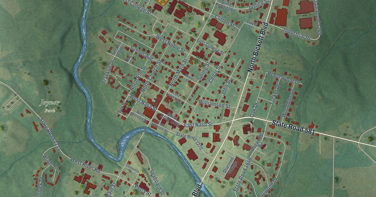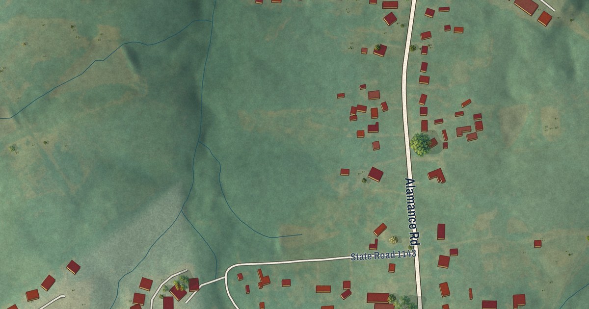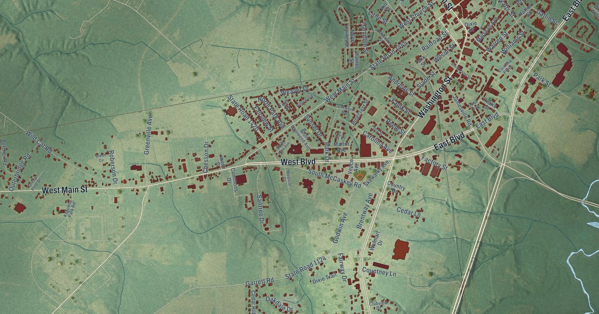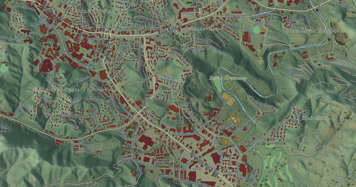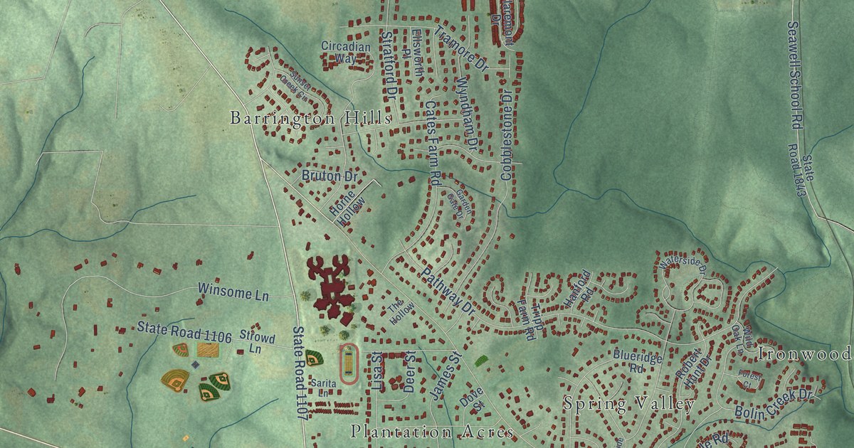
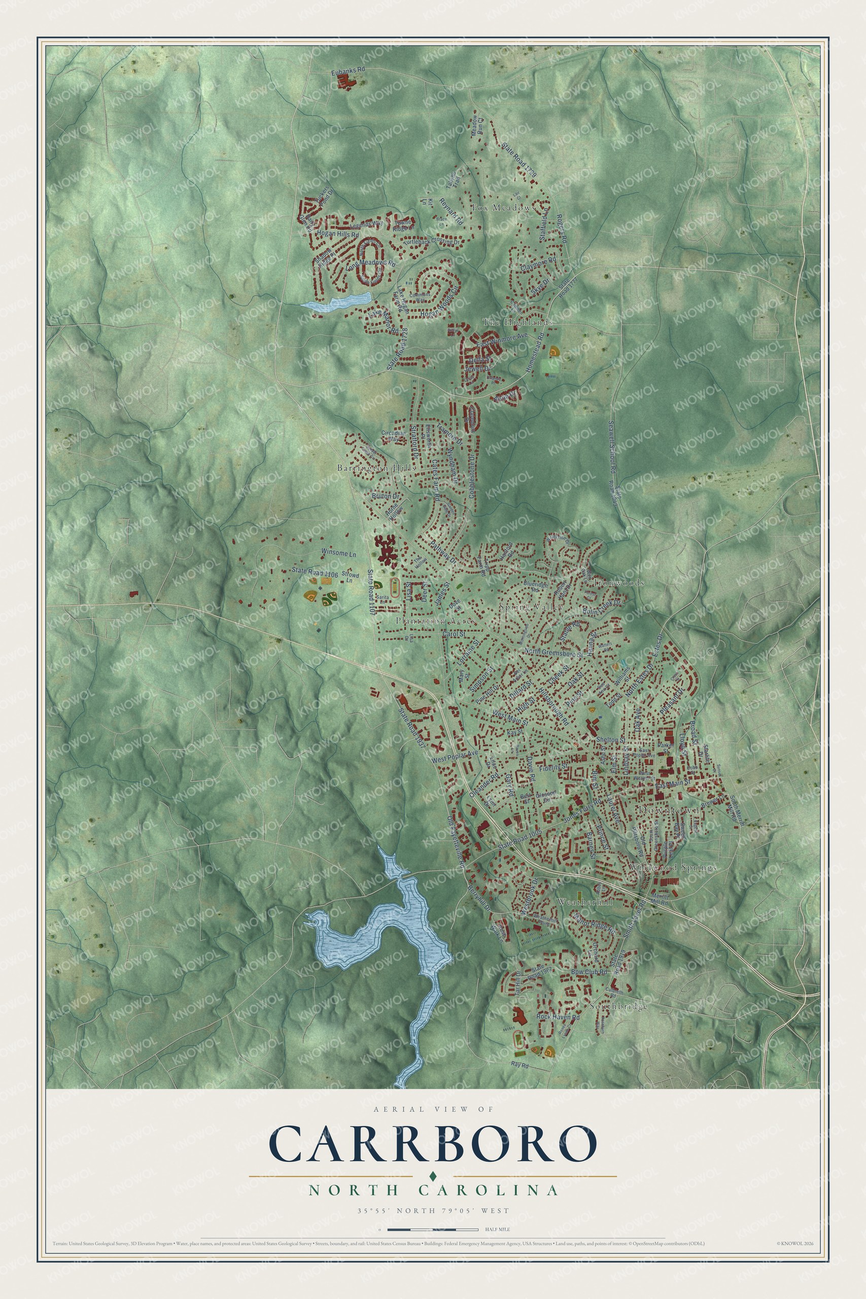
This beautifully detailed map of Carrboro, North Carolina was created in 2026 using aerial imagery combined with modern topographical, census, street and landmark data. It's a modern aerial view of Carrboro in Orange County, North Carolina, that combines modern data with a vintage aesthetic. The roads feature printed names, and if you look closely you can find your exact house accurately shown in its correct location.
Explore an aerial view of Carrboro, North Carolina
On this map you'll find Downtown, Barrington Hills, Fox Meadows, Ironwoods, Plantation Acres, Southbridge, Spring Valley, The Highlands, Weatherhill, Wildwood Springs, Hillsborough Road, Old Fayetteville Road, and more. Each red shape is a building, so zoom in on the preview and look for yours.
Here is a piece of Carrboro history, in the words of the record. The North Carolina Gazetteer puts it this way: "Carrboro town in SE Orange County immediately W of Chapel Hill. Alt. 500. Settled 1898. Inc. 1911 as Venable; named for Francis P. Venable (1856-1934), president of the University of North Carolina. Changed to Carrboro, 1913, for Julian S. Carr (1845-1924), who est. a textile mill there."
Carrboro is a town in Orange County. The Census Bureau counted 21,295 people here in 2020.
Take a closer look at the Carrboro map
Names on this map
These names are printed on this map.
Places: Downtown, Barrington Hills, Fox Meadows, Ironwoods, Plantation Acres, Southbridge, Spring Valley, The Highlands, Weatherhill and Wildwood Springs.
Streets and roads: Hillsborough Road, Old Fayetteville Road, Homestead Road, State Road 1107, State Road 1937, Berryhill Drive, East Main Street, Hogan Hills Road, Stable Road, North Estes Drive, West Main Street, North Greensboro Street.
More street names, A to Z
Abbey Lane, Airlie Drive, Andys Lane, Ashe Street, Barnes Street, Bel Arbor Lane, Bert Street, Bim Street, Blueridge Road, Bolin Creek Drive, Bpw Club Road, Brace Lane, Brewer Lane, Broad Street, Bruton Drive, Camden Lane, Carol Street, Cates Farm Road, Cheek Street, Circadian Way, Claremont Drive, Claymore Road, Cobblestone Drive, Cobb Street, Commons Way, Crest Street, Culbreth Road, Dairy Glen Road, Davie Road, Deer Street, Della Street, Dillard Street, Dove Street, East Poplar Avenue, East Winmore Avenue, Ellsworth Place, Elm Street, Estes Drive, Eubanks Road, Eugene Street, Fidelity Street, Forest Court, Garden Gate Drive, Gary Road, Glosson Circle, Hanford Road, Hanna Street, High Street, Hogan Woods Circle, Horne Hollow, James Street, Jewell Drive, Jones Ferry Road, Kay Street, Kit Lane, Lair Court, Lake Hogan Farm Road, Lake Manor Road, Laurel Avenue, Legends Way, Lilac Drive, Lindsay Street, Lisa Drive, Lisa Street, Lloyd Street, Long Meadows Road, Lorraine Street, Lucas Lane, Lynn Drive, Manor Ridge Road, Mary Street, Meadow Run Court, Merritt Mill Road, Morningside Drive, North Fields Circle, Oak Avenue, Oak Street, Old Pittsboro Road, Oleander Road, Orchard Lane, Orlando Place, Parker Street, Pathway Drive, Pine Hill Drive, Pine Street, Pleasant Drive, Prince Street, Purple Leaf Place, Raven Lane, Ray Road, Renee Lynne Court, Reynard Road, Robert Hunt Drive, Rock Haven Road, Rogers Road, Rose Walk Lane, Rossburn Way, Sarita Lane, Seawell School Road, Shadow Ridge Place, Shelton Street, Simpson Street, Skye Drive, Smith Level Road, South Fields Circle, South Greensboro Street, South Merritt Mill Road, Staffield Lane, Starlite Drive, State Road 1005, State Road 1106, State Road 1728, State Road 1729, State Road 1777, State Road 1843, State Road 1919, State Road 1967, Stratford Drive, Strowd Lane, Sue Ann Court, Sunset Creek Circle, Sunset Drive, Sweet Bay Place, Tallyho Trail, Tar Hill Drive, The Hollow, Todd Street, Towne Ridge Lane, Tramore Drive, Tripp Farm Road, Tuckers Pond Drive, Turtleback Crossing Drive, Waterside Drive, Watters Road, Weatherhill Point, Westbrook Drive, West Poplar Avenue, West Weaver Street, Wild Oak Lane, Williams Street, Winsome Lane, Wyndham Drive.
Created by KNOWOL in 2026. The buildings are small red shapes, the roads carry their printed names, and shaded relief shows the shape of the land. The title panel reads "AERIAL VIEW OF CARRBORO NORTH CAROLINA" with 35°55' NORTH 79°05' WEST.
It suits a den, a classroom or a front hall, and it makes a gift for anyone with Carrboro roots. Open the preview and find the block you know. See sizes and frames for the Carrboro map.