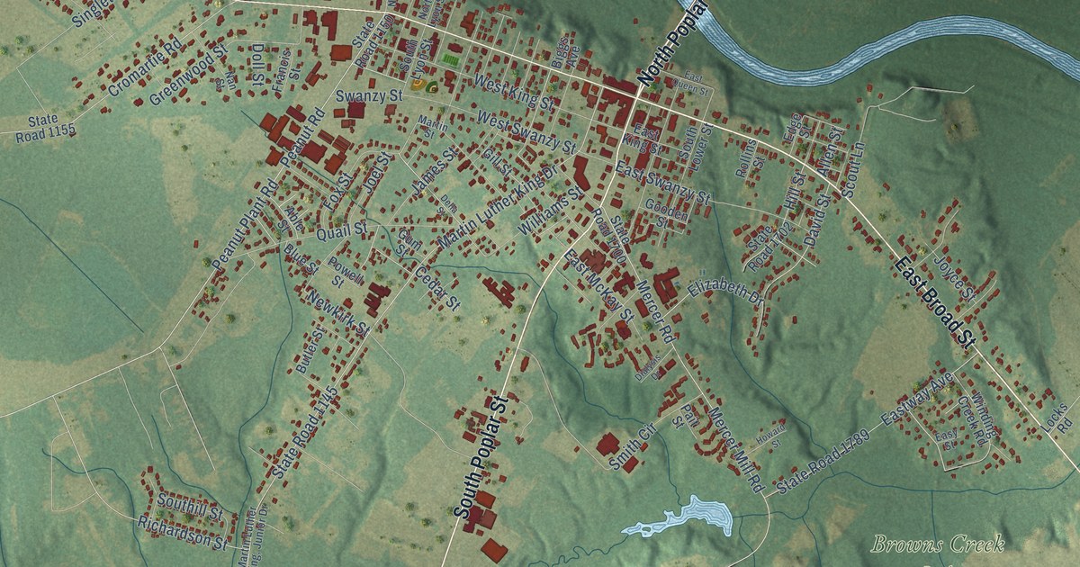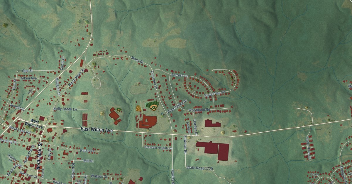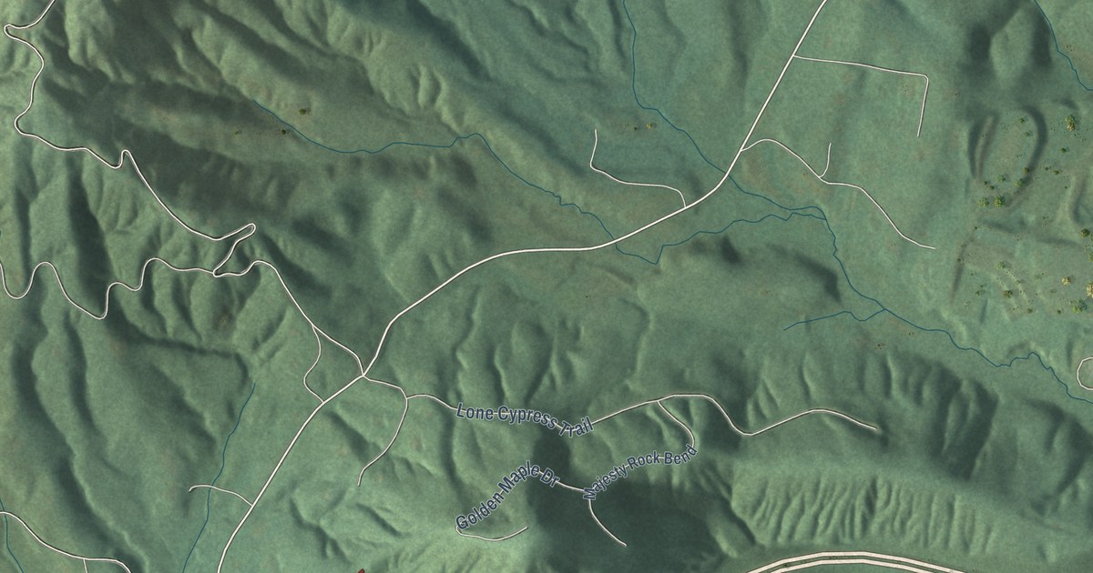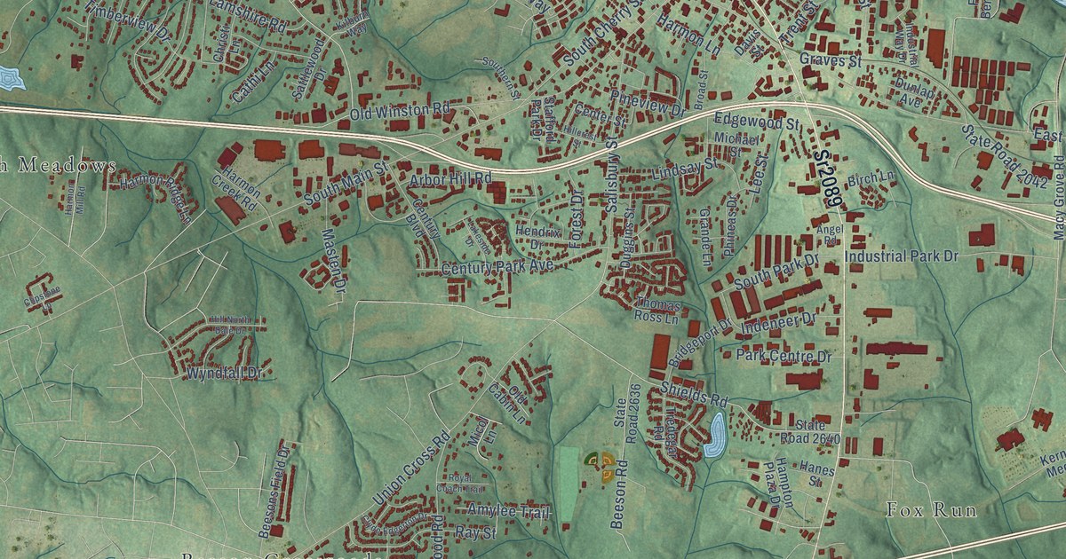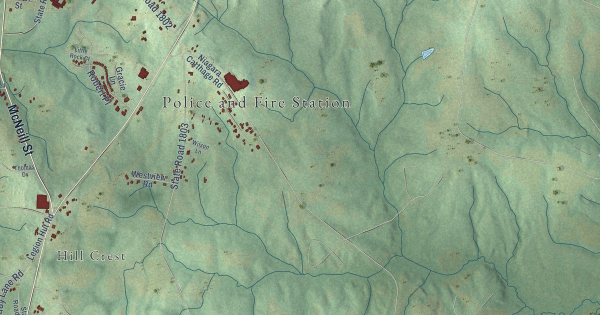
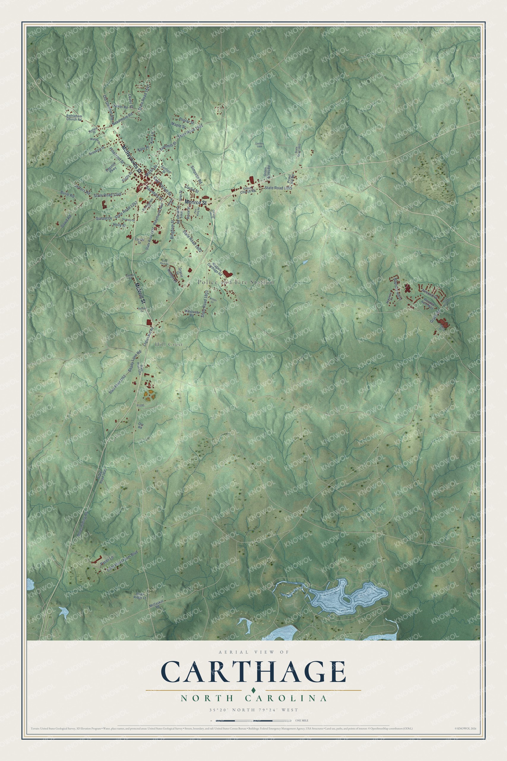
This beautifully detailed map of Carthage, North Carolina was created in 2026 using aerial imagery combined with modern topographical, census, street and landmark data. It's a modern aerial view of Carthage in Moore County, North Carolina, that combines modern data with a vintage aesthetic. The roads feature printed names, and if you look closely you can find your exact house accurately shown in its correct location.
Explore an aerial view of Carthage, North Carolina
On this map you'll find Police and Fire Station, Hill Crest, McNeill Street, Monroe Street, McReynolds Street, Summitt Street, State Road 1802, Dowd Road, State Road 1240, State Road 1805, Little River Farm Boulevard, Pinehurst Avenue, and more. Each red shape is a building, so zoom in on the preview and look for yours.
Carthage has a story worth telling. The record at ncpedia.org puts it this way: "Carthage, the county seat, was incorporated in 1796 and named after the ancient North African city."
Carthage is a town in Moore County. The Census Bureau counted 2,775 people here in 2020.
Take a closer look at the Carthage map
Names on this map
These names are printed on this map.
Places: Police and Fire Station and Hill Crest.
Streets and roads: McNeill Street, Monroe Street, McReynolds Street, Summitt Street, State Road 1802, Dowd Road, State Road 1240, State Road 1805, Little River Farm Boulevard, Pinehurst Avenue, Needmore Road, State Road 1647.
More street names, A to Z
Almond Drive, Bethlehem Church Road, Bingham Street, Blues Siding Road, Brooklyn Street, Bruce Street, Buggy Drive, Burle Road, Caribou Land, Carriage Oaks Drive, Carver Street, Connell Road, Currie Street, East Barrett Street, Edgehill Parkway, Gracie Lane, Grady Road, Green Acres Road, Hickory Street, Holly Street, Isley Street, Jeffers Road, Kate Place, Kester Road, Kim Lane, Leake Street, Legion Hut Road, Little Rock Court, Magnolia Hill Drive, Maple Street, Martin Street, McCaskill Road, Morgan Street, Niagara Carthage Road, Old Glendon Road, Our Road, Pacer Lane, Pete Kelly Road, Pinecrest Street, Poplar Street, Priest Hill Road, Redgrass Lane, River Ridge Lane, Robert Place, Rockingham Street, Sanford Street, Saunders Street, Shady Lane Road, Simpson Road, State Road 1252, State Road 1254, State Road 1257, State Road 1651, State Road 1653, State Road 1803, State Road 1809, State Road 1835, State Road 1877, Sunset Drive, Thomas Drive, Union Church Road, Vass Carthage Road, Viking Drive, Wahala Drive, Wallace Street, Westview Road, Wilson Lane, Wooded Acre Way.
Created by KNOWOL in 2026. The buildings are small red shapes, the roads carry their printed names, and shaded relief shows the shape of the land. The title panel reads "AERIAL VIEW OF CARTHAGE NORTH CAROLINA" with 35°20' NORTH 79°24' WEST.
It looks right in a kitchen, an office or a den, and it's a gift for anyone who grew up in Carthage or moved away. Open the preview and find your street. See sizes and frames for the Carthage map.