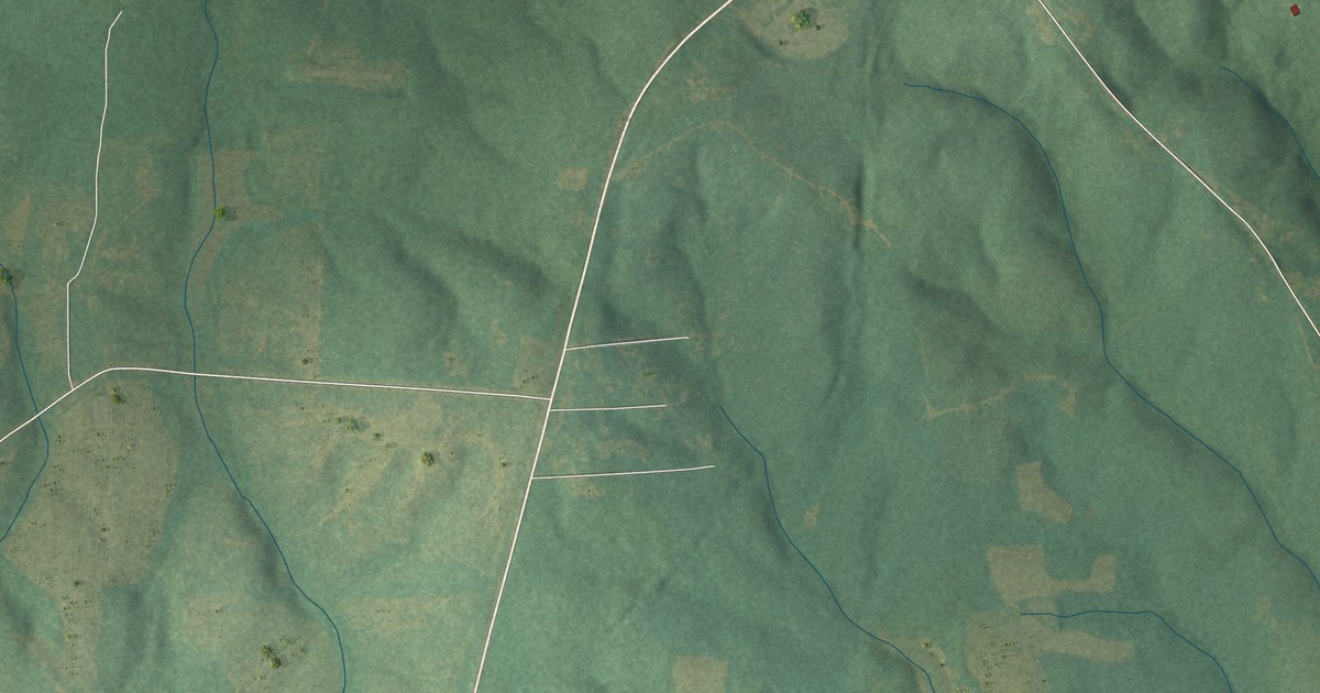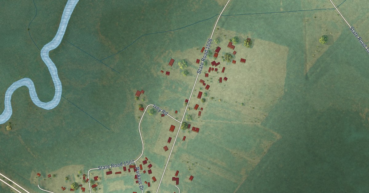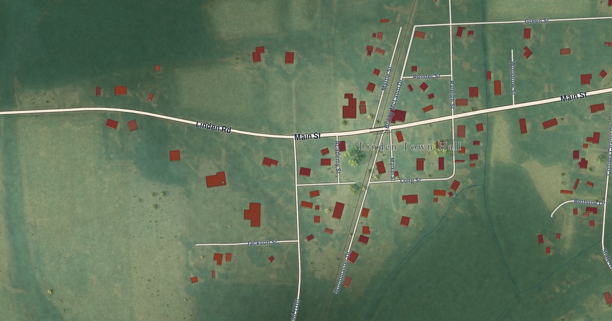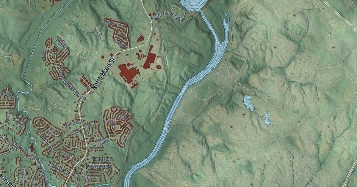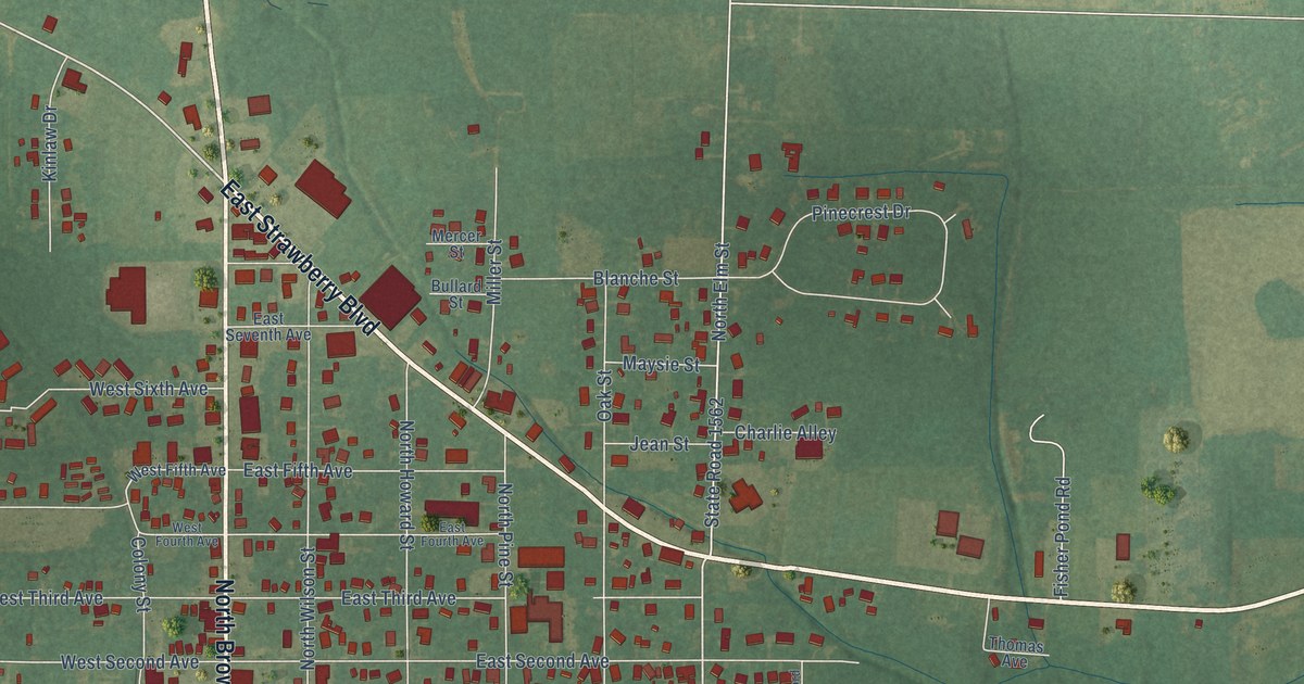
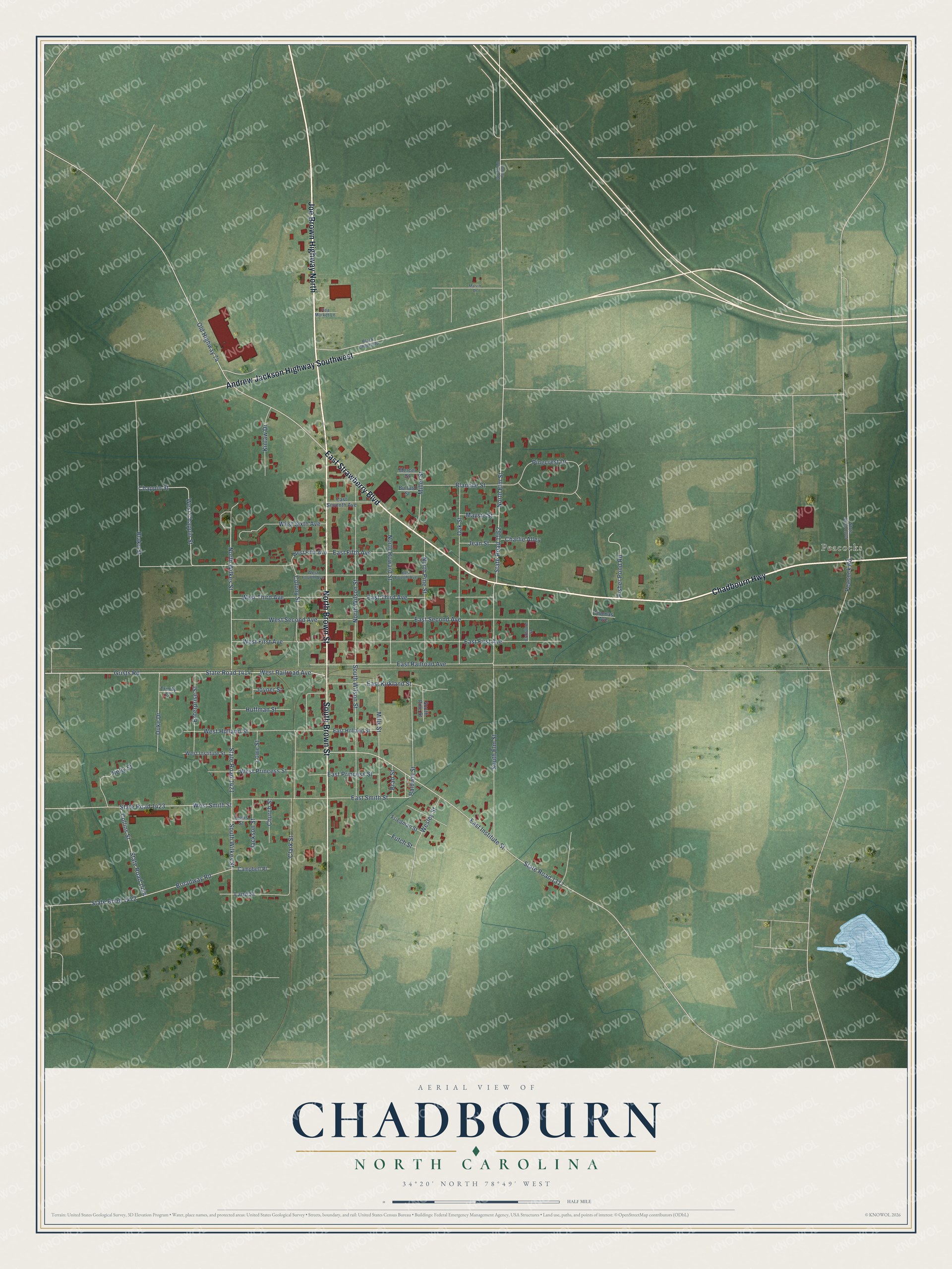
This beautifully detailed map of Chadbourn, North Carolina was created in 2026 using aerial imagery combined with modern topographical, census, street and landmark data. It's a modern aerial view of Chadbourn in Columbus County, North Carolina, that combines modern data with a vintage aesthetic. The roads feature printed names, and if you look closely you can find your exact house accurately shown in its correct location.
Explore an aerial view of Chadbourn, North Carolina
On this map you'll find Peacocks, Chadbourn Highway, North Brown Street, Joe Brown Highway North, East Strawberry Boulevard, South Brown Street, Andrew Jackson Highway Southwest, Grists Road, North Wilkes Street, State Road 1414, Old Highway 74, West Railroad Avenue, and more. Each red shape is a building, so zoom in on the preview and look for yours.
Here is a piece of Chadbourn history, in the words of the record. The NCpedia puts it this way: "In 1882 the Chadbourn Mill and Railway Company was formed to carry the timber enterprise into Columbus County . Chadbourn was placed in charge of this business, and under his direction the company purchased vast tracts of timberland and constructed a sawmill on the site of the present town of Chadbourn."
Chadbourn is a town in Columbus County. The Census Bureau counted 1,574 people here in 2020.
Take a closer look at the Chadbourn map
Names on this map
These names are printed on this map.
Places: Peacocks.
Streets and roads: Chadbourn Highway, North Brown Street, Joe Brown Highway North, East Strawberry Boulevard, South Brown Street, Andrew Jackson Highway Southwest, Grists Road, North Wilkes Street, State Road 1414, Old Highway 74, West Railroad Avenue, North Elm Street.
More street names, A to Z
Baldwin Street, Black Cherry Road, Blake Street, Blanche Street, Brad Street, Broadway Road, Bullard Street, Campbell Place, Chappin Street, Charlie Alley, Church Street, Clark Street, Collins Street, Colony Street, Crawford Street, Duke Drive, East Fifth Avenue, East First Avenue, East Fourth Avenue, East Holland Street, East Institute Street, East Kirkland Street, East Princess Street, East Railroad Avenue, East Second Avenue, East Seventh Avenue, East Smith Street, East Third Avenue, Enterprise Street, Fisher Pond Road, Flea Market Lane, Friedman Street, Futch Street, Huffman Street, Jackson Street, Jean Street, Joyner Street, Kelly Street, Kinlaw Drive, Land Street, Lewis Street, Lowe Street, Marvin Drive, Maysie Street, Mercer Street, Miller Street, Mills Street, North Howard Street, North Pine Street, North Wilson Street, Oak Street, Peacock Road, Pinecrest Drive, South Elm Street, South Pine Street, South Wilkes Street, South Wilson Street, State Road 1005, State Road 1317, State Road 1421, State Road 1422, State Road 1423, State Road 1424, State Road 1562, Thomas Avenue, Tommy Wooten Road, Trinity Court, Wesley Street, West Chappin Street, West Fifth Avenue, West First Avenue, West Fourth Avenue, West Holland Street, West Institute Street, West Princess Street, West Second Avenue, West Sixth Avenue, West Smith Street, West Third Avenue.
Created by KNOWOL in 2026. The buildings are small red shapes, the roads carry their printed names, and shaded relief shows the shape of the land. The title panel reads "AERIAL VIEW OF CHADBOURN NORTH CAROLINA" with 34°20' NORTH 78°49' WEST.
It suits a den, a classroom or a front hall, and it makes a gift for anyone with Chadbourn roots. Open the preview and find the block you know. See sizes and frames for the Chadbourn map.