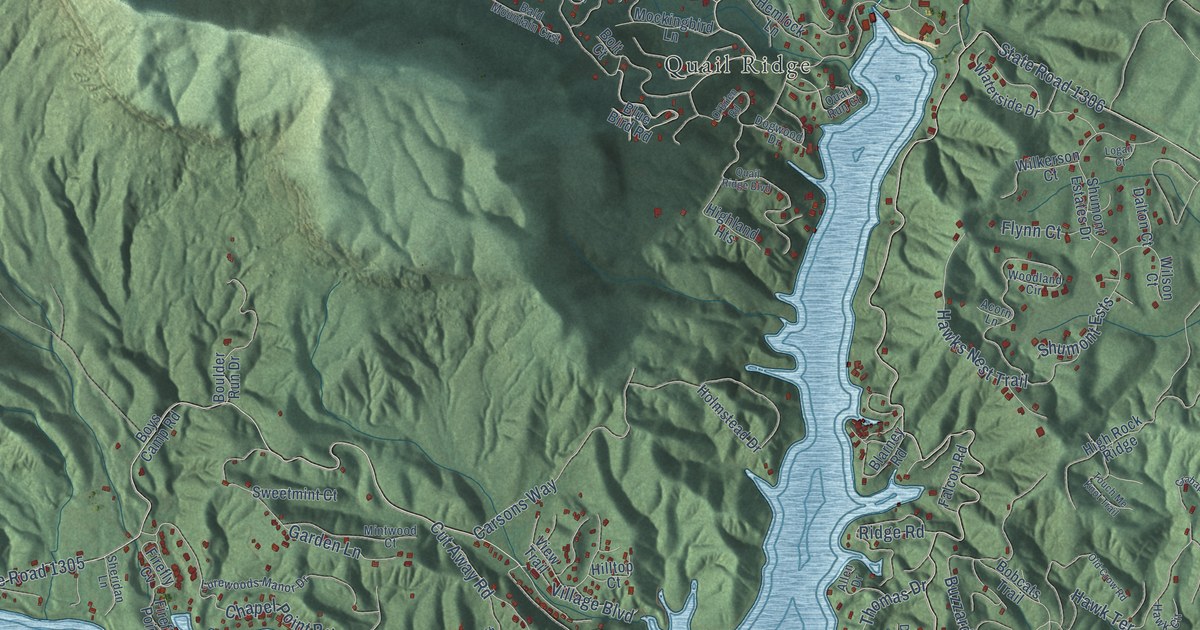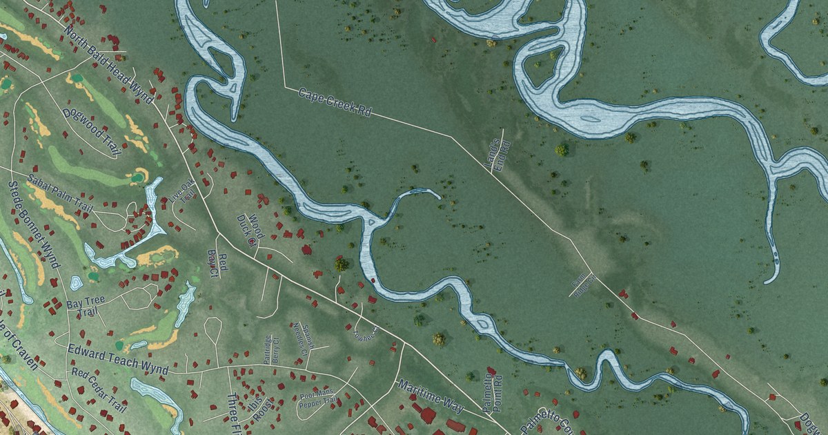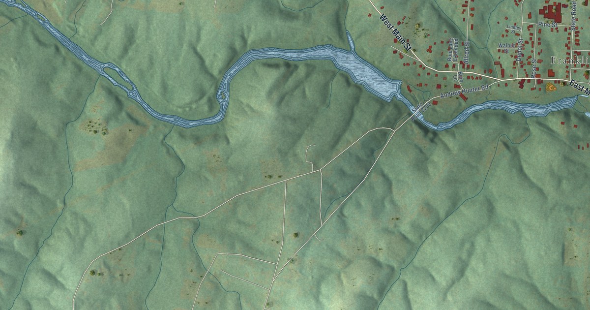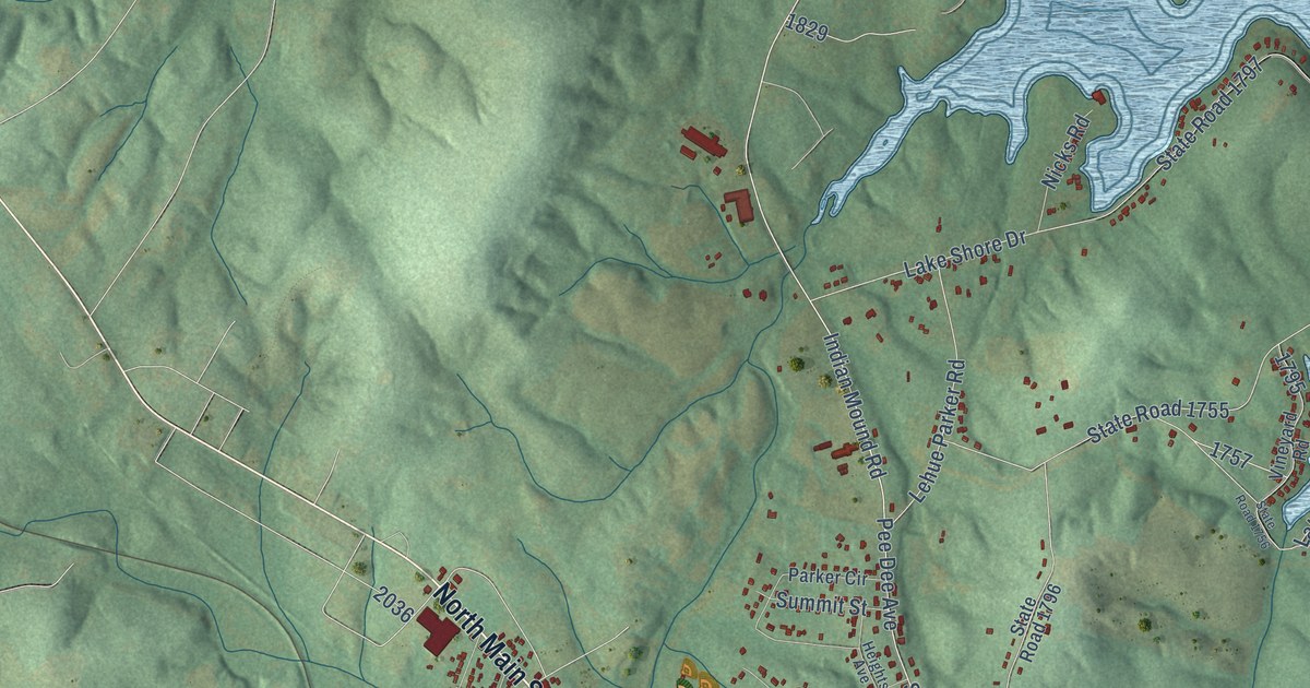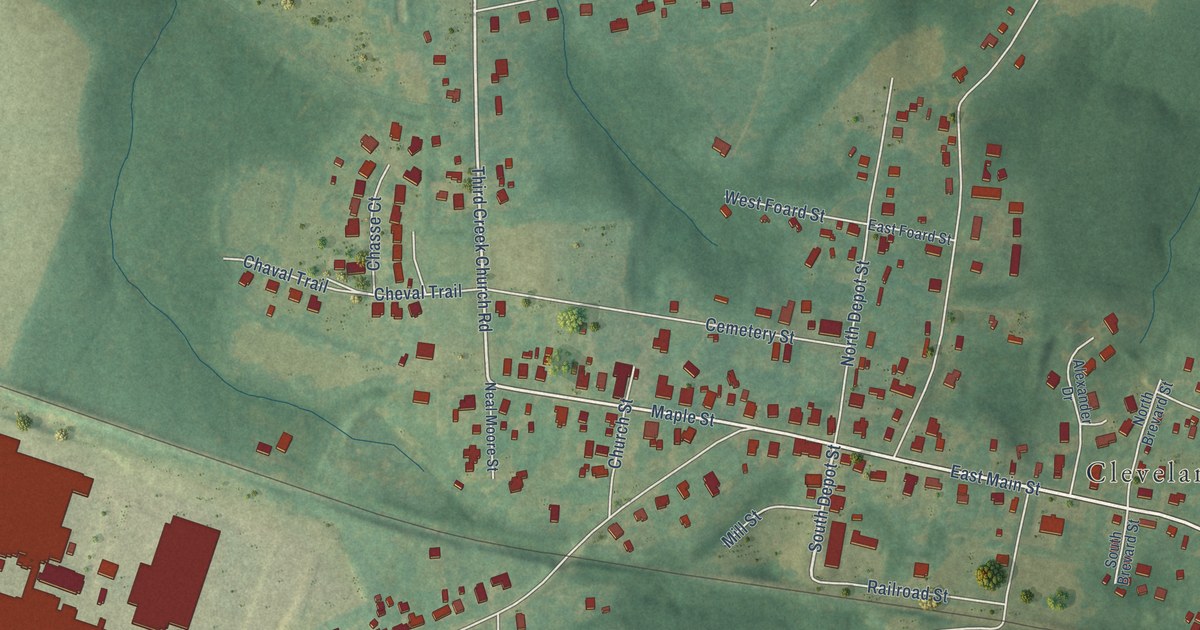
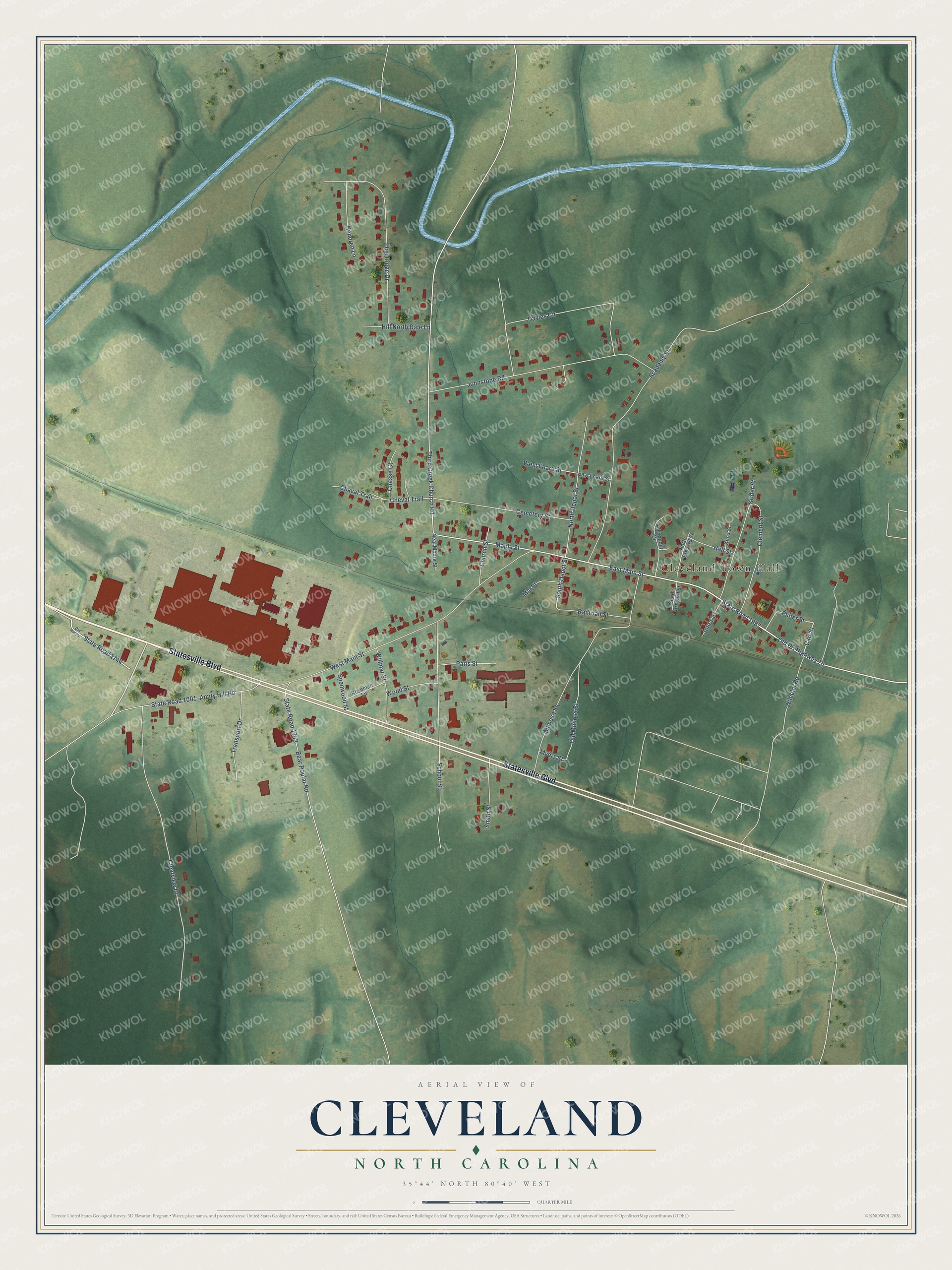
This beautifully detailed map of Cleveland, North Carolina was created in 2026 using aerial imagery combined with modern topographical, census, street and landmark data. It's a modern aerial view of Cleveland in Rowan County, North Carolina, that combines modern data with a vintage aesthetic. The roads feature printed names, and if you look closely you can find your exact house accurately shown in its correct location.
Explore an aerial view of Cleveland, North Carolina
On this map you'll find Cleveland Town Hall, Statesville Boulevard, East Main Street, Amity Hill Road, State Road 1957, State Road 1744, South Depot Street, Carr Street, Old US Highway 70, Third Creek Church Road, West Main Street, Clearview Drive, and more. Each red shape is a building, so zoom in on the preview and look for yours.
Cleveland has a story worth telling. The record at dncr.nc.gov puts it this way: "The family home of Captain James Knox, grandfather of President James Knox Polk, built in the 1770s, stood near Cleveland, North Carolina, until claimed by fire in 1960."
Cleveland is a town in Rowan County. The Census Bureau counted 846 people here in 2020.
Take a closer look at the Cleveland map
Names on this map
These names are printed on this map.
Places: Cleveland Town Hall.
Streets and roads: Statesville Boulevard, East Main Street, Amity Hill Road, State Road 1957, State Road 1744, South Depot Street, Carr Street, Old US Highway 70, Third Creek Church Road, West Main Street, Clearview Drive, Mimosa Street.
More street names, A to Z
Academy Street, Alexander Drive, Bear Poplar Road, Cemetery Street, Chasse Court, Chaval Trail, Cheval Trail, Church Street, Clement Street, Davies Circle, Doe Ridge Drive, East Foard Street, Hall Street, Hendren Lane, Hill North Dale Lane, Johnstone Road, Jones Street, Knox Street, Krider Street, Maple Street, Mill Street, Myers Street, Neal Moore Street, North Brevard Street, North Depot Street, Old Mimosa Street, Old Route 70, Paris Street, Phifer Street, Railroad Street, Roseman Lane, School Street, Smith Street, South Brevard Street, Spenwood Street, State Road 1001, State Road 1743, Transport Drive, West Foard Street, Wilhelm Road, Willmar Street, Wood Street.
Created by KNOWOL in 2026. The buildings are small red shapes, the roads carry their printed names, and shaded relief shows the shape of the land. The title panel reads "AERIAL VIEW OF CLEVELAND NORTH CAROLINA" with 35°44' NORTH 80°40' WEST.
It looks right in a kitchen, an office or a den, and it's a gift for anyone who grew up in Cleveland or moved away. Open the preview and find your street. See sizes and frames for the Cleveland map.