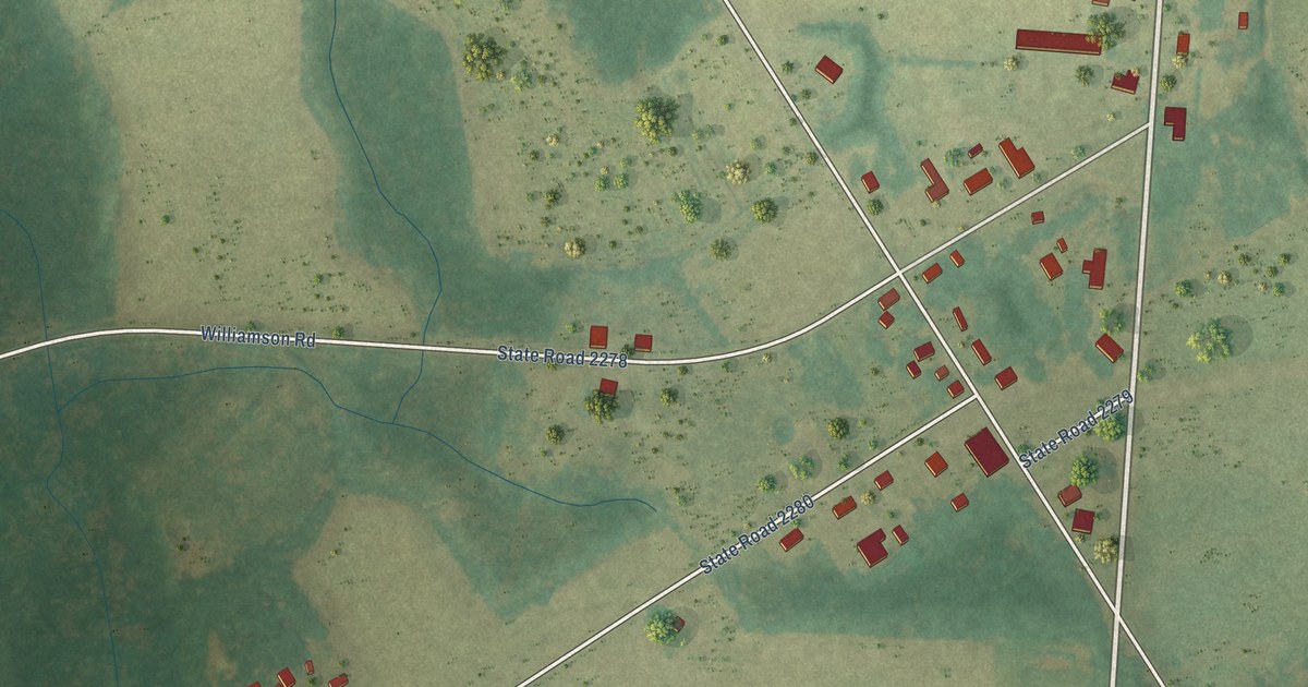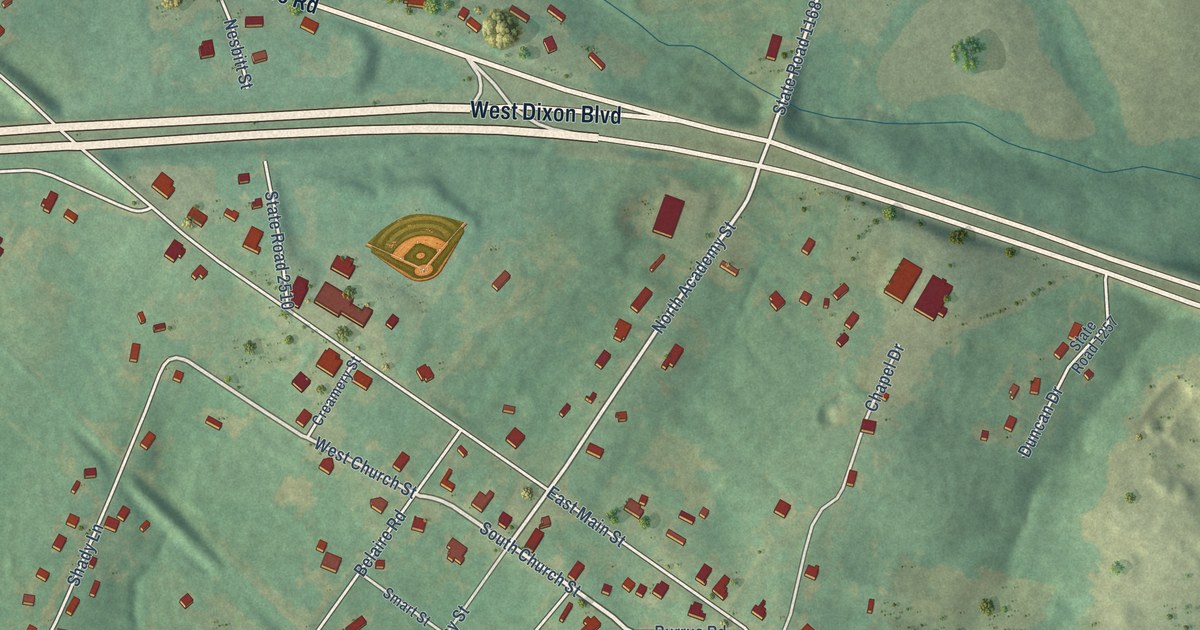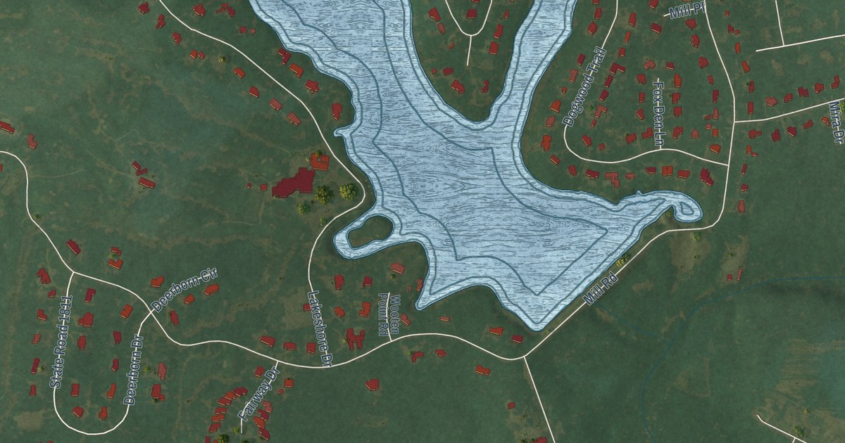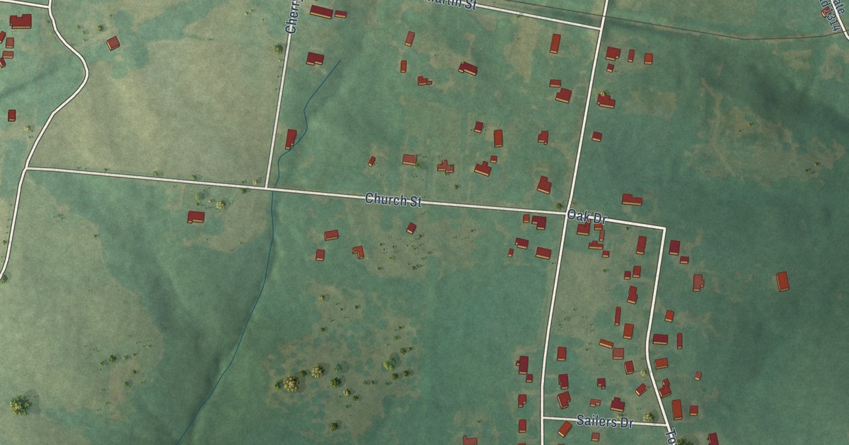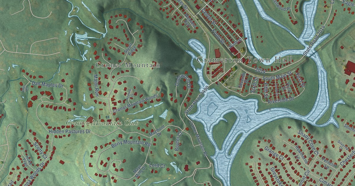
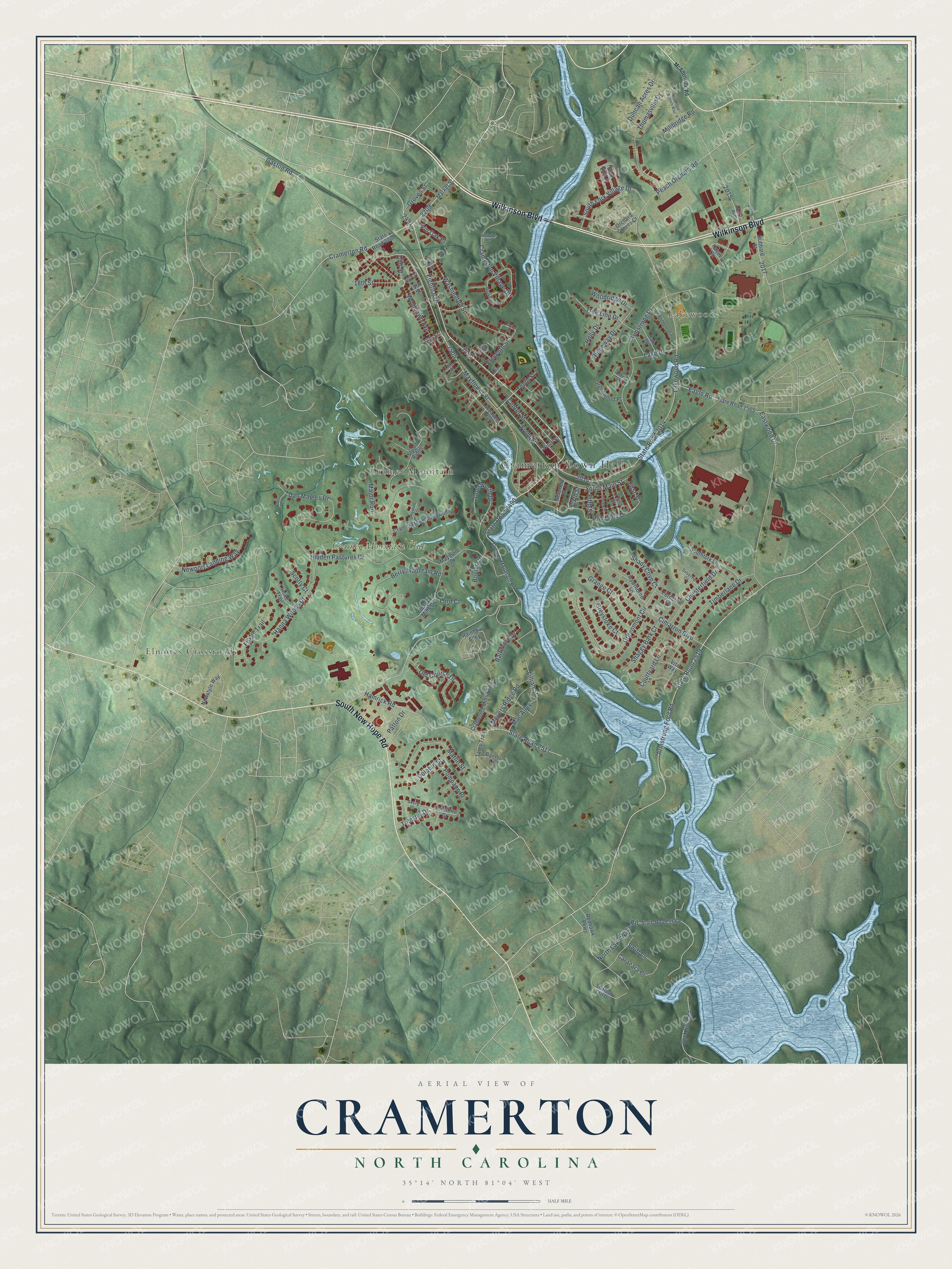
This beautifully detailed map of Cramerton, North Carolina was created in 2026 using aerial imagery combined with modern topographical, census, street and landmark data. It's a modern aerial view of Cramerton in Gaston County, North Carolina, that combines modern data with a vintage aesthetic. The roads feature printed names, and if you look closely you can find your exact house accurately shown in its correct location.
Explore an aerial view of Cramerton, North Carolina
On this map you'll find Cramerton Town Hall, Cramer Mountain, Elmores Crossroads, Lakewood, Cramer Mountain Club, Wilkinson Boulevard, South New Hope Road, Gaston Road, Eighth Avenue, Woodlawn Avenue, Armstrong Ford Road, State Road 2519, and more. Each red shape is a building, so zoom in on the preview and look for yours.
Cramerton has a story worth telling. The record at dncr.nc.gov puts it this way: "Cramer turned his profits back into his own mills, especially those in the community that came to bear his name, Cramerton."
Cramerton is a town in Gaston County. The Census Bureau counted 5,296 people here in 2020.
Take a closer look at the Cramerton map
Names on this map
These names are printed on this map.
Places: Cramerton Town Hall, Cramer Mountain, Elmores Crossroads, Lakewood and Cramer Mountain Club.
Streets and roads: Wilkinson Boulevard, South New Hope Road, Gaston Road, Eighth Avenue, Woodlawn Avenue, Armstrong Ford Road, State Road 2519, State Road 2014, Mayflower Street, State Road 2490, Lakewood Road, Hamrick Road.
More street names, A to Z
13th Street, 14th Street, 15th Street, 16th Street, 17th Street, 18th Street, Alberta Avenue, Armstrong Drive, Avery Place, Baltimore Drive, Banter Lane, Berry Mountain Road, Blue Gill Lane, Boyter Court, Caracara Court, Center Street, Chesterfield Drive, Cimarron Boulevard, Courtyard Lane, Cramer Mountain Road, Cramer Mountain Woods, Cramerton Mills Parkway, Cramerton Road, Cramerton Village Drive, Dan Maples Drive, Davis Lane, Dodsworth Drive, Dolphin Street, Duck Cove Road, Duncan Acres Drive, Eagle Road, Eastwood Drive, Eleventh Street, Ellis Court, Ferncliff Lane, Fifth Street, First Street, Fourth Street, Foxes Trail, Front Street, Grange Court, Greenmont Circle, Greenwood Place, Greystoke Court, Groves Street, Hanna Woods Drive, Haven Circle, Hawthorne Lane, Hidden Pastures Drive, High Street, Hoke Trail, Holly Drive, Hubbard Street, Julian Street, Keyhole Court, Lake Drive, Lillian Street, Lincoln Street, Lord Court, Mac Alley, Major Run, Market Street, Marlin Street, Maymont Drive, Mays Mills Drive, McAdenville Road, Meyers Ridge Road, Millbridge Road, Misty Harbor Circle, New Hope Branch Way, Newport Landing Way, Newstyle Way, Ninth Street, North Lake Wylie Road, Oak Drive, Old Course Drive, Old Lakewood Road, Orchard Groves Court, Park Street, Patton Drive, Peach Orchard Road, Pin Oak Place, Pompano Place, Rainbow Alley, Redhawk Parkway, Ridgeway Drive, Riverside Drive, Scotty Court, Seventh Street, Shady Cove Court, Shaggy Bark Court, Shallow Tail Drive, Silvertip Court, Sixth Street, Southfork Lane, South Fork Village Drive, South Main Street, State Road 2209, State Road 2517, State Road 2565, State Road 2668, Stuart Ridge, Swift Lane, Tates Trail, Tenth Street, Third Street, Thomasville Drive, Timberlane Drive, Tomshir Drive, Tomshire Drive, Tree Line Drive, Vita Way, Washington Street, Weavers Run, Webster Lane, Woodridge Drive.
Created by KNOWOL in 2026. The buildings are small red shapes, the roads carry their printed names, and shaded relief shows the shape of the land. The title panel reads "AERIAL VIEW OF CRAMERTON NORTH CAROLINA" with 35°14' NORTH 81°04' WEST.
It looks right in a kitchen, an office or a den, and it's a gift for anyone who grew up in Cramerton or moved away. Open the preview and find your street. See sizes and frames for the Cramerton map.