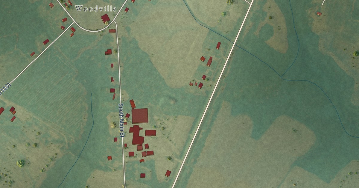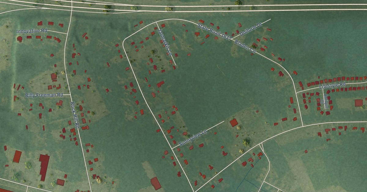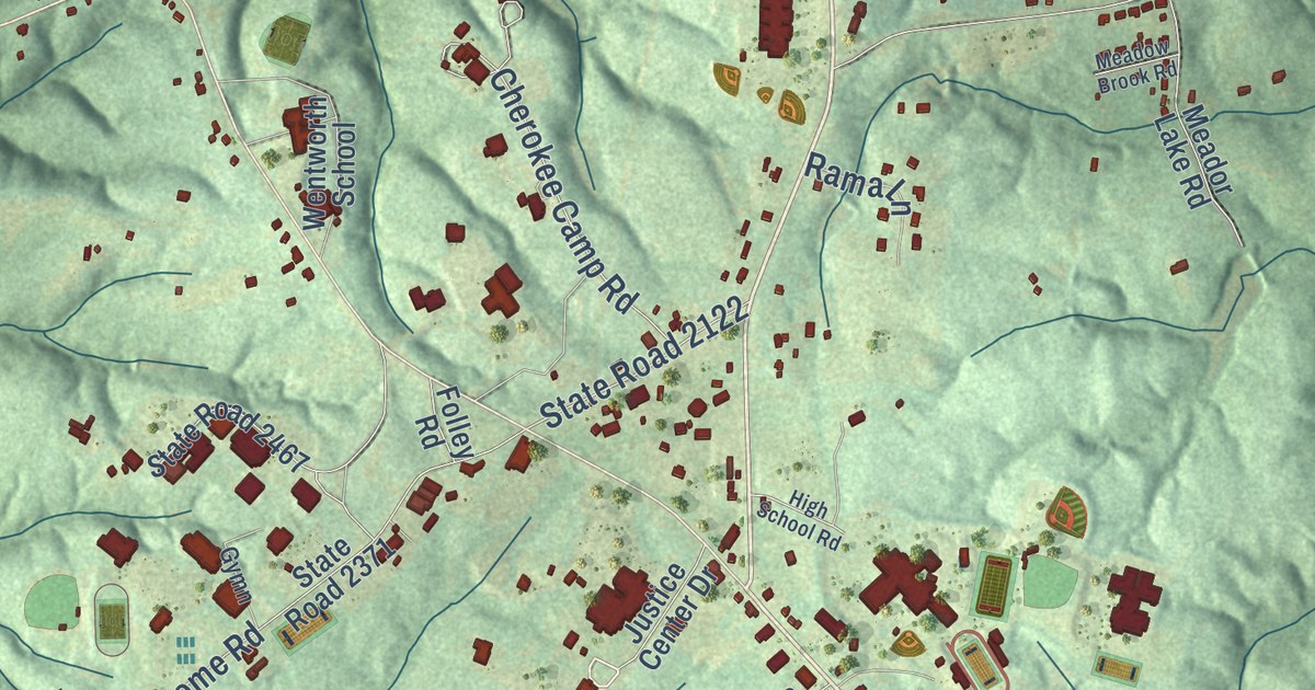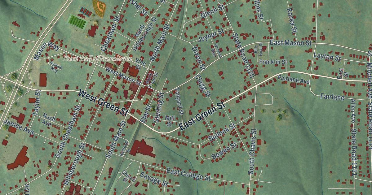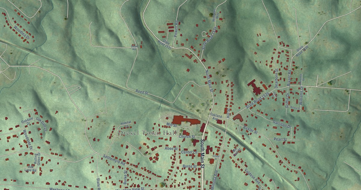
This beautifully detailed map of Drexel, North Carolina was created in 2026 using aerial imagery combined with modern topographical, census, street and landmark data. It’s a one-of-a-kind view of Drexel that combines accurate data with a vintage aesthetic. The map shows every building in its true location, many of the roads carry their names, and the shaded topographic relief shows the shape of the land.
Explore an aerial view of Drexel, North Carolina
On the map you’ll find Drexel Town Hall, along with South Main Street, State Road 1712, Mimosa Avenue, North Main Street, Poteat Drive, Settlemyre Road, Park Avenue, Mountain View Street, Williams Drive, Abee Street, Bryant Road, and more. If you look closely you can even find your house accurately drawn in its correct location. Zoom in on the preview to look for yours.
Did you know this about Drexel, North Carolina?
Samuel Huffman asked the Southern Railroad superintendent for a business name and chose Drexel, honoring Pennsylvania philanthropist and railroad financier Anthony J. Drexel. The town grew around the enterprise. That’s from the North Carolina history marker page.
Take a closer look at the Drexel map
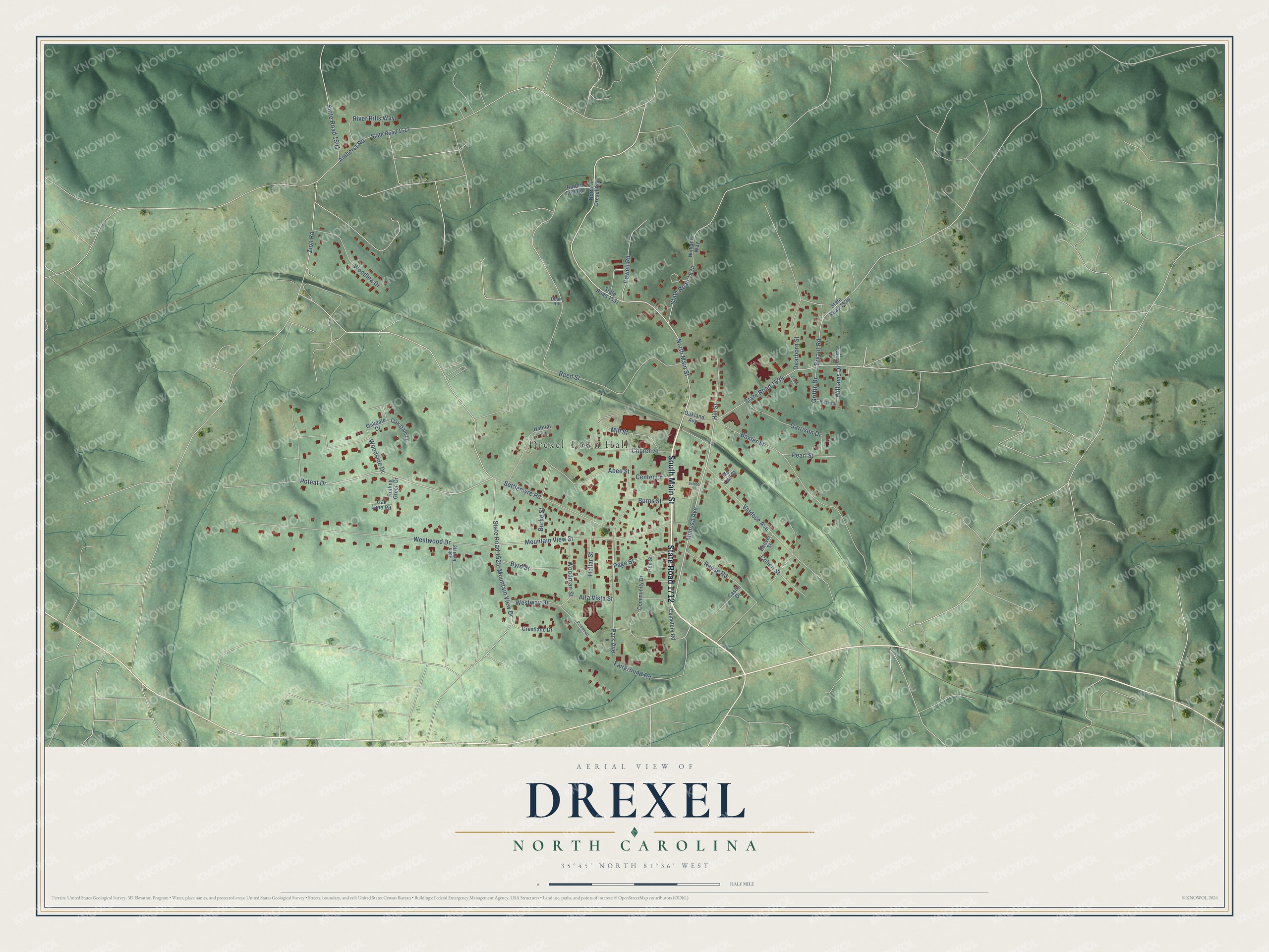
Street and place names on the Drexel, North Carolina map
These names are printed on the map of Drexel, North Carolina.
Places: Drexel Town Hall.
Streets and roads: South Main Street, State Road 1712, Mimosa Avenue, North Main Street, Poteat Drive, Settlemyre Road, Park Avenue, Mountain View Street, Williams Drive, Abee Street, Bryant Road, Westwood Drive.
More street names, A to Z
Alta Vista Street, Amherst Road, Baxter Street, Burke Street, Burns Street, Butler Hill Road, Byrd Street, Castle Drive, Cemetery Road, Center Lane, Church Street, Clark Street, Cohen Street, Community Drive, Crestlane Drive, Dean Road, Dearborn Street, Denver Street, Fairground Road, Florence Drive, Garrison Drive, Griffin Drive, Habitat Lane, Helena Street, Hill Street, Hollar Street, John Byrd Road, Mc Call Street, Mill Street, Mountain View Drive, North Drexel Road, Oakdale Drive, Oak Dale Lane, Oakland Avenue, Oak Lane Road, Page Street, Pearl Street, Pinewood Court, Poe Street, Powell Road, Reed Street, Reese Road, River Hills Way, Rolling Green Drive, School Street, State Road 1501, State Road 1512, State Road 1525, State Road 1531, State Road 1534, State Road 1535, State Road 1536, Valdese Avenue, Westway Drive, Williams Way, Woodlea Drive, Woodman Street, Woodside Drive, Zion Road.
See the Drexel, North Carolina map on a wall
The Drexel map as an 18 x 24 inch print in a black frame.

This beautifully detailed map of Drexel makes an attractive addition to your office, library, or den, and it can even be used to teach children the geography and history of the area. It also makes a great gift for someone who left Drexel and still calls it home. When you’re done exploring, click here to get your copy of the Drexel map.