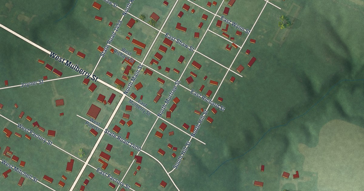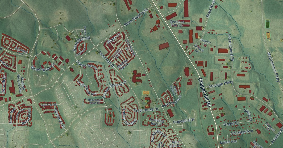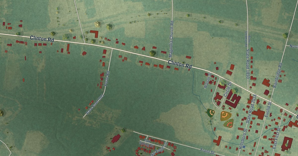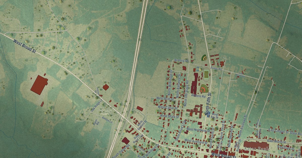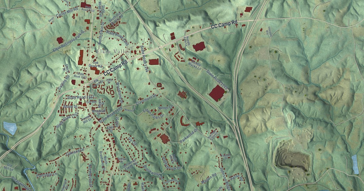
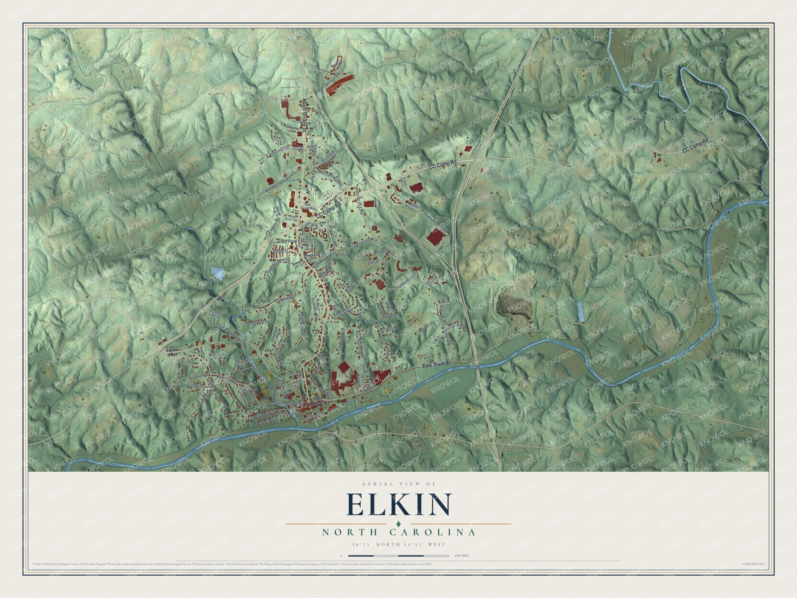
This beautifully detailed map of Elkin, North Carolina was created in 2026 using aerial imagery combined with modern topographical, census, street and landmark data. It's a modern aerial view of Elkin in Surry County, North Carolina, that combines modern data with a vintage aesthetic. The roads feature printed names, and if you look closely you can find your exact house accurately shown in its correct location.
Explore an aerial view of Elkin, North Carolina
On this map you'll find North Elkin, Elkin Valley, CC Camp Road, North Bridge Street, East Main Street, Elk Spur Street, State Road 1147, Reeves Lane, Ivy Circle, Johnson Ridge Road, State Road 1144, West Main Street, and more. Each red shape is a building, so zoom in on the preview and look for yours.
Every town has a first chapter, and Elkin is no exception. The North Carolina Gazetteer puts it this way: "Elkin town in SW Surry County on Yadkin River near the mouth of Elkin River. Alt. 947. Inc. 1889. Named for the river. Immediately S, separated by Yadkin River, is the town of Jonesville in Yadkin County."
Elkin is a town in Surry County. The Census Bureau counted 4,122 people here in 2020.
Take a closer look at the Elkin map
Names on this map
These names are printed on this map.
Places: North Elkin and Elkin Valley.
Streets and roads: CC Camp Road, North Bridge Street, East Main Street, Elk Spur Street, State Road 1147, Reeves Lane, Ivy Circle, Johnson Ridge Road, State Road 1144, West Main Street, Oakland Drive, State Road 1143.
More street names, A to Z
Aaron Road, Benge Drive, Blanket Lane, Bon Aire Road, Boxer Lane, Brook Hill Court, Brookwood Drive, Candle Wycke Lane, Carter Mill Road, Church Street, Claremont Drive, Collins Road, Colony Lane, Cox Avenue, Day Street, Dutchman Creek Road, East Market Street, Eldon Parks Drive, Elk Court Drive, Elkin Business Park Drive, Elkin Highway, Eller Street, Fabric Lane, Forest Hill Drive, Foxhall Drive, Front Street, Glendale Drive, Gwyn Avenue, Harris Avenue, Hawthorne Road, Hendrix Avenue, Heritage Care Lane, Hillcrest Drive, Hill Street, Holly Hill Drive, Interstate Way, James Street, Knollwood Drive, Lauren Drive, Leaf Street, Lyles Street, Maple Street, Marion Road, Masonic Drive, Memorial Park Drive, Millview Road, Neweller Street, North Brenhaven Drive, North Elkin Drive, North Front Street, Northwood Drive, Oak Grove Road, Oakwood Drive, Old Mill Lane, Old Virginia Road, Parkwood Drive, Partridge Lane, Pegram Street, Pinewood Drive, Pleasant Hill Road, Poplar Springs Road, Powers Lane, Ridge Street, Rumple Farm Lane, Salmon Street, Shore Street, Sloop Street, South Old Quarry Road, South Street, Standard Street, State Road 1145, State Road 1146, State Road 1149, State Road 1151, State Road 1152, State Road 1153, State Road 1195, Stoker Lane, Surry Avenue, Tannery Road, Valleybrook Drive, Veneer Street, Victoria Street, Vine Street, West Market Street, Wiles Street, Wisconsin Avenue, Woodland Drive, Woodruff Street, Yorkfield Drive, Young Street.
Created by KNOWOL in 2026. The buildings are small red shapes, the roads carry their printed names, and shaded relief shows the shape of the land. The title panel reads "AERIAL VIEW OF ELKIN NORTH CAROLINA" with 36°15' NORTH 80°51' WEST.
Hang it in the hallway, the office or the cabin, or give it to someone who left Elkin and still calls it home. Open the preview and look for a street you know. See sizes and frames for the Elkin map.