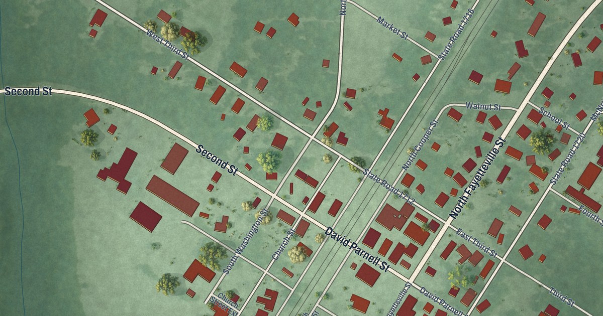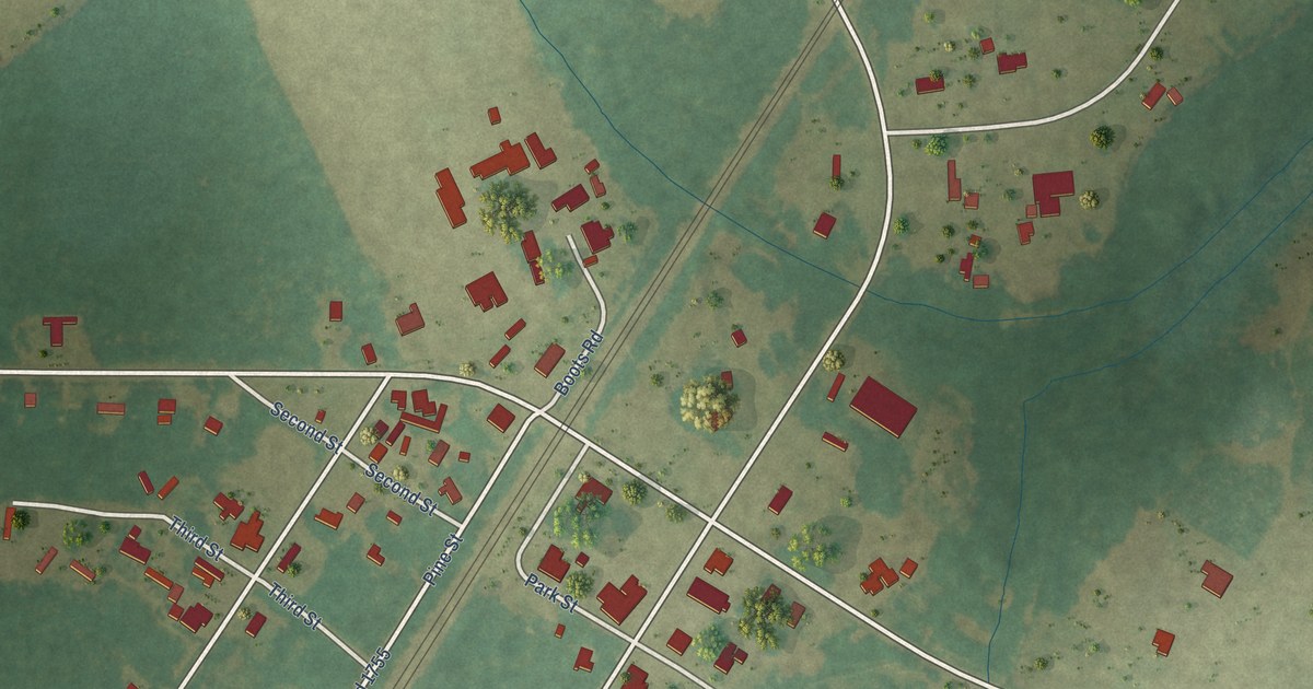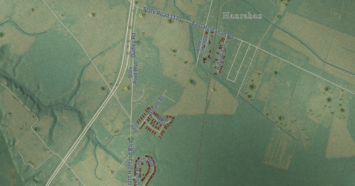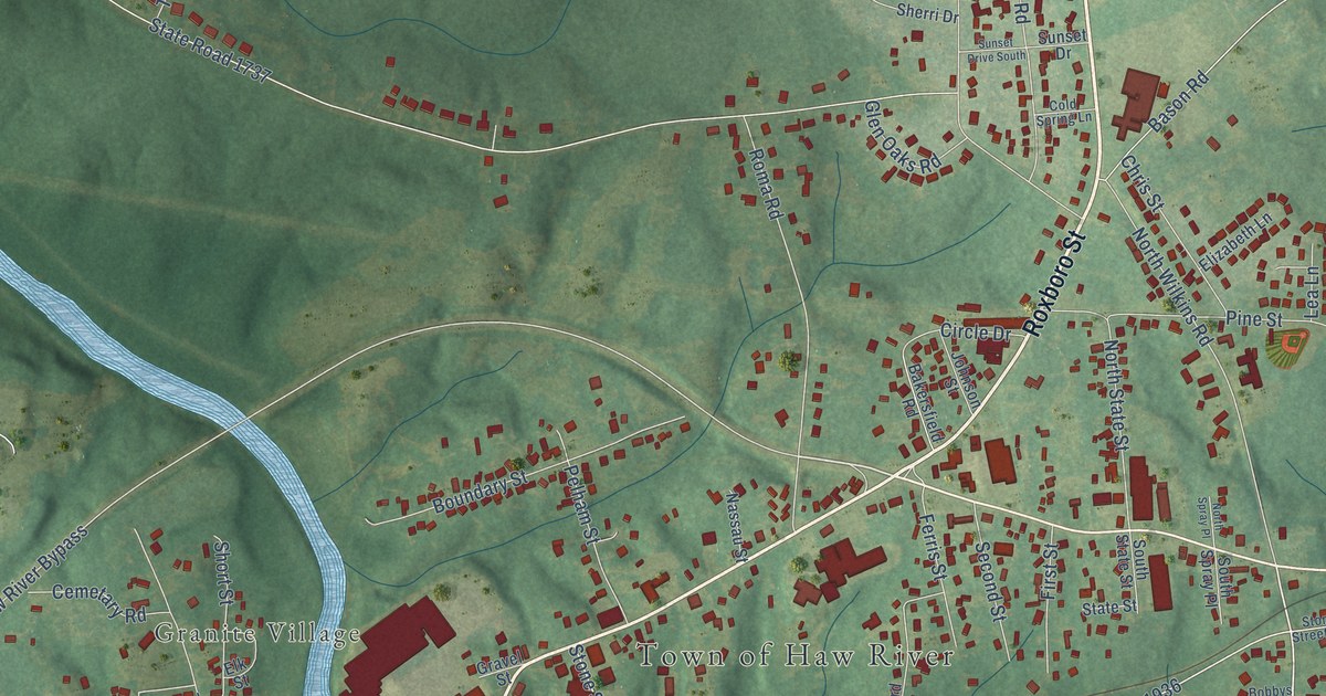
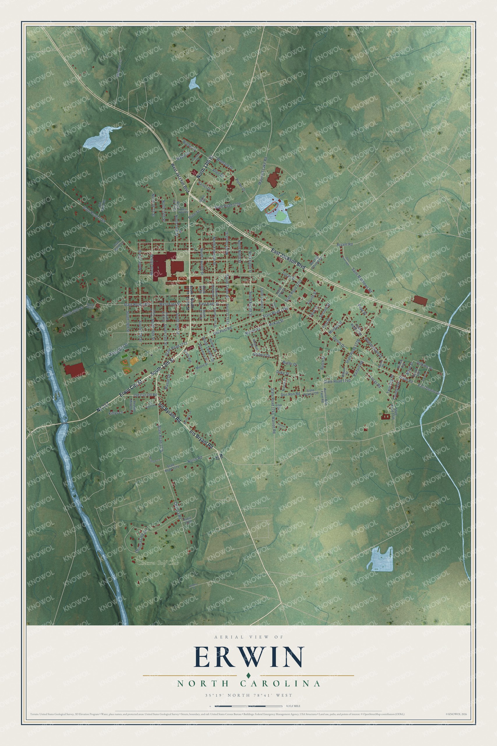
This beautifully detailed map of Erwin, North Carolina was created in 2026 using aerial imagery combined with modern topographical, census, street and landmark data. It's a modern aerial view of Erwin in Harnett County, North Carolina, that combines modern data with a vintage aesthetic. The roads feature printed names, and if you look closely you can find your exact house accurately shown in its correct location.
Explore an aerial view of Erwin, North Carolina
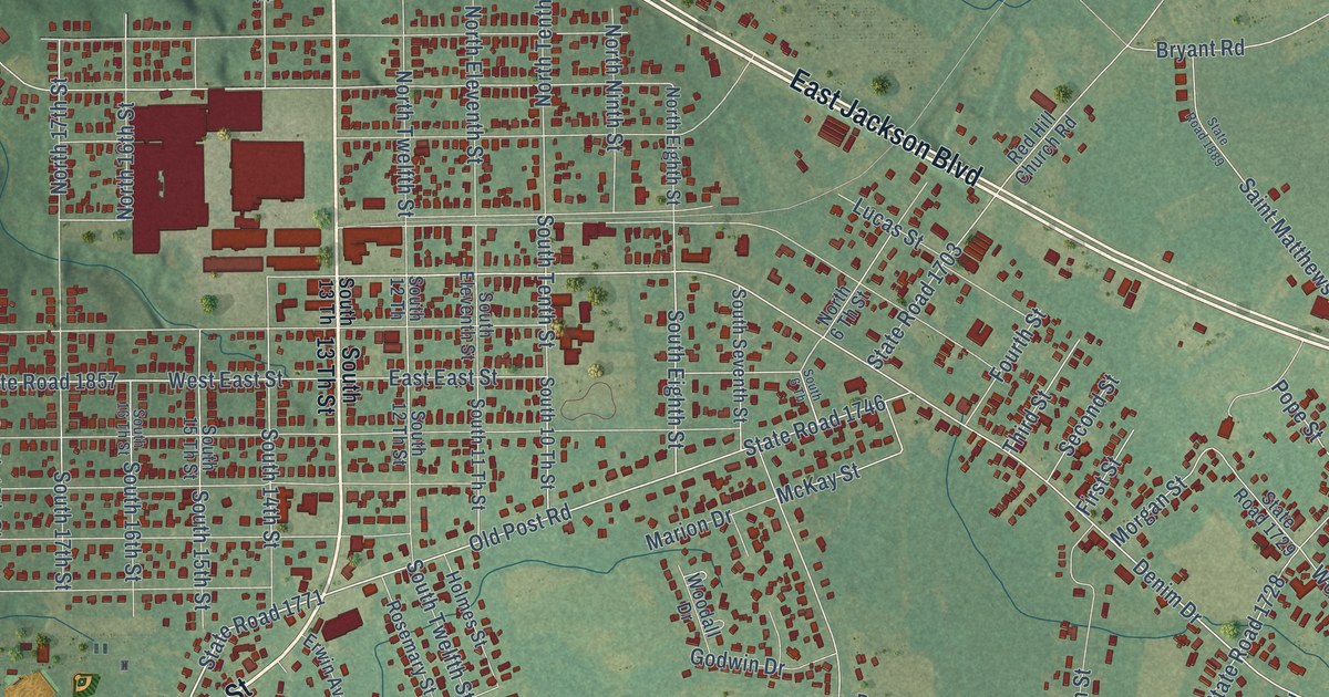
On this map you'll find Chicora Golf Club, South 13th Street, North 13th Street, Erwin City Street, Iris Bryant Road, East Jackson Boulevard, Nc 217, Iris Byrant Road, State Road 1771, Old Cut Off Road, Old Post Road, State Road 1746, and more. Each red shape is a building, so zoom in on the preview and look for yours.
Erwin has a story worth telling. The North Carolina Gazetteer puts it this way: "Erwin town in SE Harnett County. Est. about 1902 with the construction there of Erwin Cotton Mills. First known as Duke for the Duke family of Durham. Name changed to Erwin about 1925 for William Allen Erwin (1856-1932), operator of the local mill. Inc. 1967."
Erwin is a town in Harnett County. The Census Bureau counted 4,542 people here in 2020.
Take a closer look at the Erwin map
Names on this map
These names are printed on this map.
Places: Chicora Golf Club.
Streets and roads: South 13th Street, North 13th Street, Erwin City Street, Iris Bryant Road, East Jackson Boulevard, Nc 217, Iris Byrant Road, State Road 1771, Old Cut Off Road, Old Post Road, State Road 1746, East East Street.
More street names, A to Z
Allen Drive, Barnes Drive, Bayles Street, Bryant Road, Burton Avenue, Butch Street, Butler Drive, Chicora Club Drive, Chicora Road, County Avenue, Crab Apple Lane, Denese Circle, Denim Drive, Don Ron Road, Duke Street, East Denim Drive, Erwin Avenue, Erwin Road, First Street, Fourth Street, Gilbert Street, Godwin Drive, Holmes Street, Homers Lane, Jenkins Street, Kittys Lane, Lisa Street, Lucas Road, Lucas Street, Maple Drive, Marion Drive, Mason Drive, Maye Street, Maynard Lake Road, McIntyre Lane, McKay Street, Monroe Lane, Moore Street, Morgan Street, Mulberry Lane, Nc 82, Nicole Drive, Norris Road, North 6 Th Street, North 14 Th Street, North 14th Street, North 15th Street, North 16 Th Street, North 16th Street, North 17th Street, North Eighth Street, North Eleventh Street, North Ninth Street, North Tenth Street, North Twelfth Street, Old Farm Road, Pineview Drive, Pope Street, Porter Drive, Price Street, Prince Avenue, Raiford Road, Red Hill Church Road, Reuben Mason Lane, River Drive, Robin Loop, Rosemary Street, Saint Matthews Road, Second Street, South 6 Th, South 10 Th Street, South 11 Th Street, South 12 Th, South 12 Th Street, South 13 Th, South 13 Th Street, South 14th Street, South 15 Th Street, South 15th Street, South 16 Th Street, South 16th Street, South 17th Street, South 18th Street, South 19th Street, South 20th Street, South Eighth Street, South Eleventh Street, South Seventh Street, South Tenth Street, South Twelfth Street, State Road 1703, State Road 1726, State Road 1728, State Road 1729, State Road 1736, State Road 1739, State Road 1740, State Road 1741, State Road 1769, State Road 1774, State Road 1775, State Road 1857, State Road 1889, Third Street, Twin City Street, Walnut Drive, Warren Bait Farm Road, Warren Road, West East Street, West Jackson Boulevard, West North Street, Wilson Street, Womack Drive, Wondertown Drive, Woodall Drive.
Created by KNOWOL in 2026. The buildings are small red shapes, the roads carry their printed names, and shaded relief shows the shape of the land. The title panel reads "AERIAL VIEW OF ERWIN NORTH CAROLINA" with 35°19' NORTH 78°41' WEST.
It looks right in a kitchen, an office or a den, and it's a gift for anyone who grew up in Erwin or moved away. Open the preview and find your street. See sizes and frames for the Erwin map.