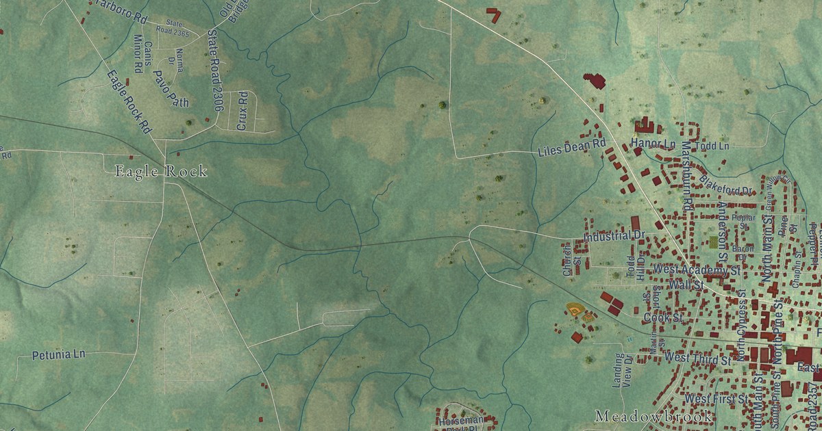
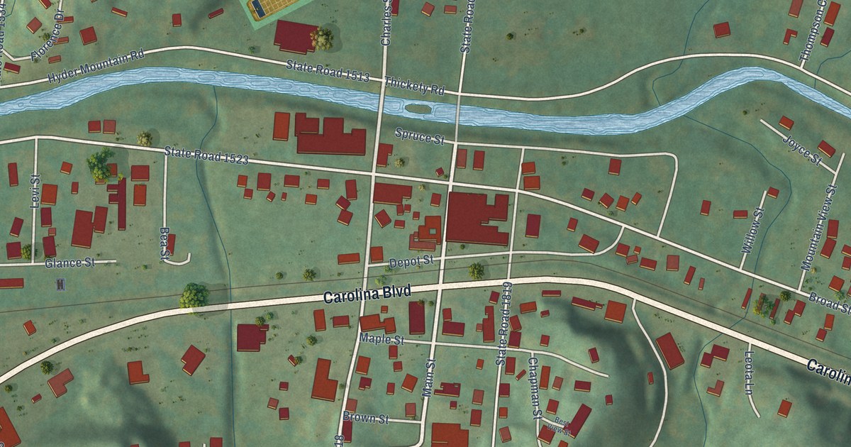
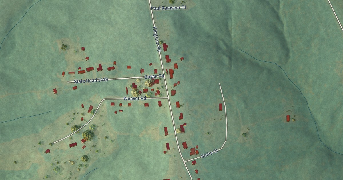
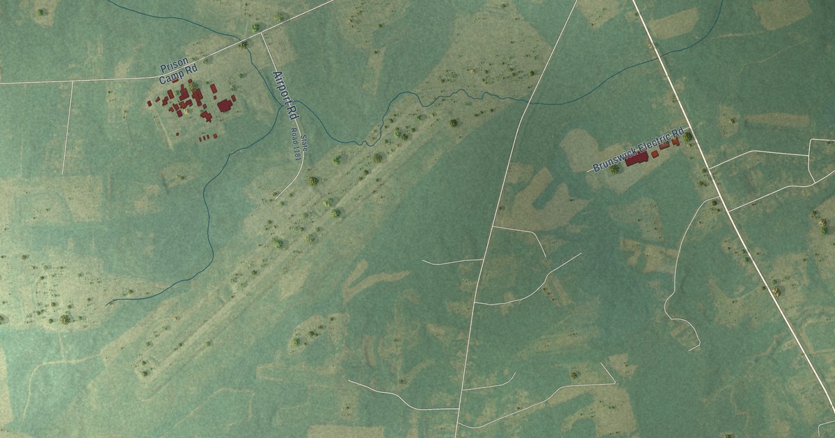
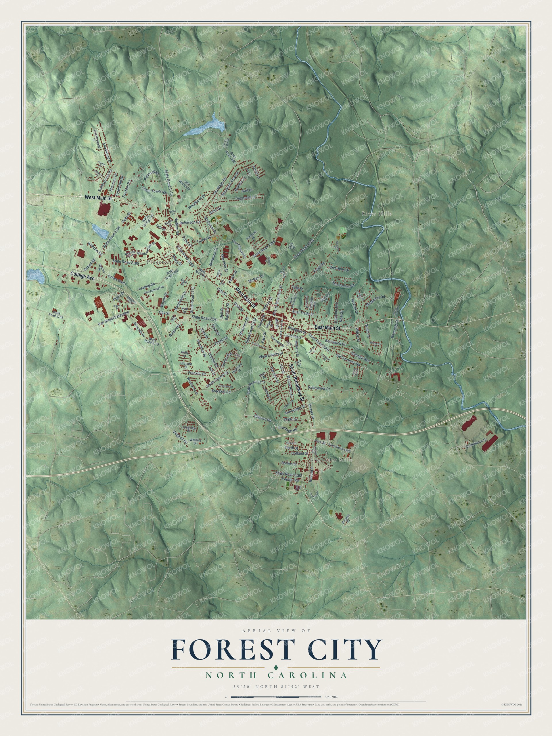
This beautifully detailed map of Forest City, North Carolina was created in 2026 using aerial imagery combined with modern topographical, census, street and landmark data. It's a modern aerial view of Forest City in Rutherford County, North Carolina, that combines modern data with a vintage aesthetic. The roads feature printed names, and if you look closely you can find your exact house accurately shown in its correct location.
Explore an aerial view of Forest City, North Carolina
On this map you'll find Alexander Mills, River Hills, Pinecrest, West Main Street, South Broadway Street, East Main Street, College Avenue, Oak Street, Cherry Mountain Street, State Road 1576, Hudlow Road, Frontage Road, and more. Each red shape is a building, so zoom in on the preview and look for yours.
Forest City has a story worth telling. The North Carolina Gazetteer puts it this way: "Forest City town in S central Rutherford County. Alt. 869. Inc. 1877 as Burnt Chimney; name changed to Forest City in 1887 in honor of Forest Davis, lumber merchant."
Forest City is a town in Rutherford County. The Census Bureau counted 7,377 people here in 2020.
Take a closer look at the Forest City map
Names on this map
These names are printed on this map.
Places: Alexander Mills, River Hills and Pinecrest.
Streets and roads: West Main Street, South Broadway Street, East Main Street, College Avenue, Oak Street, Cherry Mountain Street, State Road 1576, Hudlow Road, Frontage Road, Oak Street Extended, State Road 1510, State Road 2162.
More street names, A to Z
Allendale Drive, Amity Drive, Arlington Street, Astrid Lane, Barbara Street, Beaver Street, Bentwood Drive, Blanton Road, Bob Rollins Road, Brackett Road, Bridges Drive, Butler Road, Cable Tower Road, Carlozzi Drive, Carolina Avenue, Cemetary Street, Charles Street, Cherry Street, Clay Street, Cole Street, Collins Avenue, Commerce Drive, Commercial Drive, Cornwell Street, Countrywood Drive, Crescent Drive, Dalehurst Drive, Daniel Road, Delta Street, Depot Street, Doggett Road, Dogwood Lane, Duke Street, Eastover Drive, East Spruce Street, East Trade Street, Elizabeth Avenue, Fairview Street, First Street, Flack Road, Florence Street, Ford Drive, Forest Hill Drive, Forest Lake Road, Forest Street, Fox Run Road, Franklin Drive, Furman Drive, Gail Drive, Georgia Avenue, Gettys Street, Golf Street, Grace Street, Groce Street, Hall Road, Hall Street, Hamilton Street, Hardin Road, Harmon Street, Harris Street, Heritage Avenue, Highview Street, Hill Street, Holland Street, Holly Lane, Horton Drive, Jameson Inn Drive, John Warren Drive, Joy Street, Kent Drive, Knollwood Drive, Lark Lane, Lawing Road, Learning Parkway, Lee Street, Loblolly Lane, Longview Drive, Lowes Boulevard, Luckadoo Street, Marshall Street, McArthur Street, McCall Drive, McDaniel Street, McMurray Road, McNair Drive, Meadowbrook Drive, Melody Lane, Mill Street, Millwood Street, Mountain View Street, Mulberry Street, Neal Street, North Broadway Street, Nuway Packing Road, Ogle Drive, Old Caroleen Road, Old Wagy Road, Orchard Street, Palms Way, Parkland Drive, Park Street, Pine Street, Plaza Drive, Pointer Road, Railroad Street, Recreation Drive, Reid Street, Ridgecrest Drive, Riverhills Drive, Riverside Drive, Roberson Road, Rolling Oaks Street, Rollins Street, Ryan Drive, Seitz Drive, Sherman Drive, Smith Grove Road, Smith Street, South Church Street, South Powell Street, Sparks Drive, State Road 1585, State Road 1586, State Road 1901, State Road 1903, State Road 2159, State Road 2173, State Road 2178, State Road 2179, State Road 2182, State Road 2183, State Road 2184, State Road 2185, State Road 2213, State Road 2241, Sunnyside Street, Tate Street, Third Street, Trout Street, Turner Street, Utah Street, Valleyview Drive, Vance Street, Villas Lane, Walker Street, Watkins Drive, Webb Drive, Wells Drive, Wells Springs Road, Westerly Hills Drive, Westhaven Street, West Liberty Street, West Main Drive, Westwood Drive, Wilkie Street, Willow Run Drive, Windover Drive, Withrow Road, Woodburn Drive, Woods Drive, Yarboro Street, Young Street.
Created by KNOWOL in 2026. The buildings are small red shapes, the roads carry their printed names, and shaded relief shows the shape of the land. The title panel reads "AERIAL VIEW OF FOREST CITY NORTH CAROLINA" with 35°20' NORTH 81°52' WEST.
It looks right in a kitchen, an office or a den, and it's a gift for anyone who grew up in Forest City or moved away. Open the preview and find your street. See sizes and frames for the Forest City map.