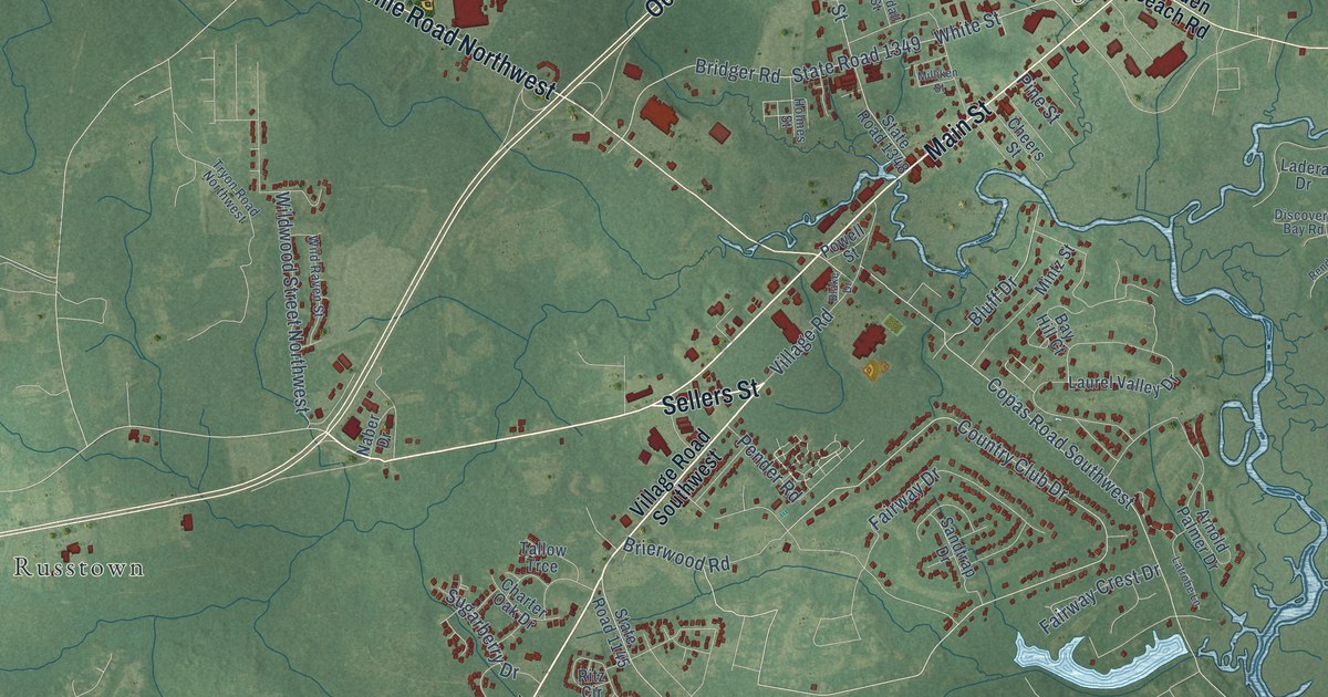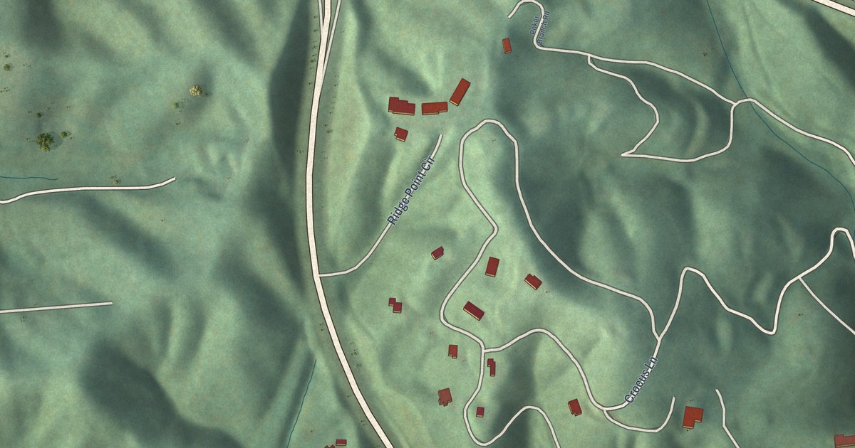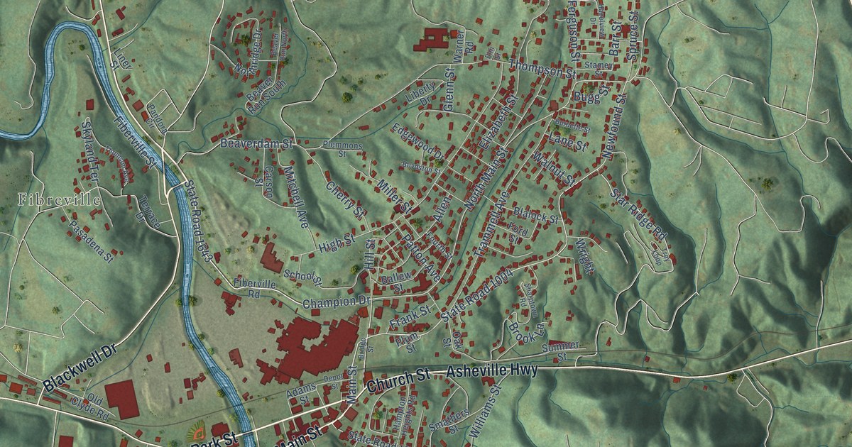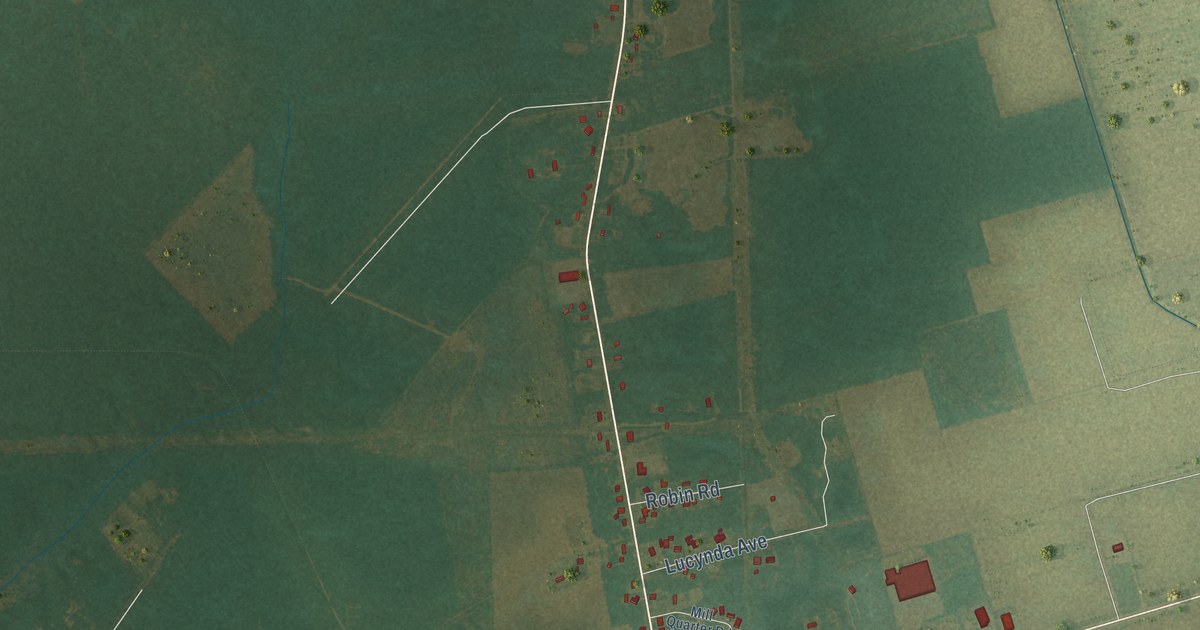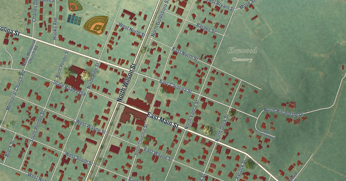
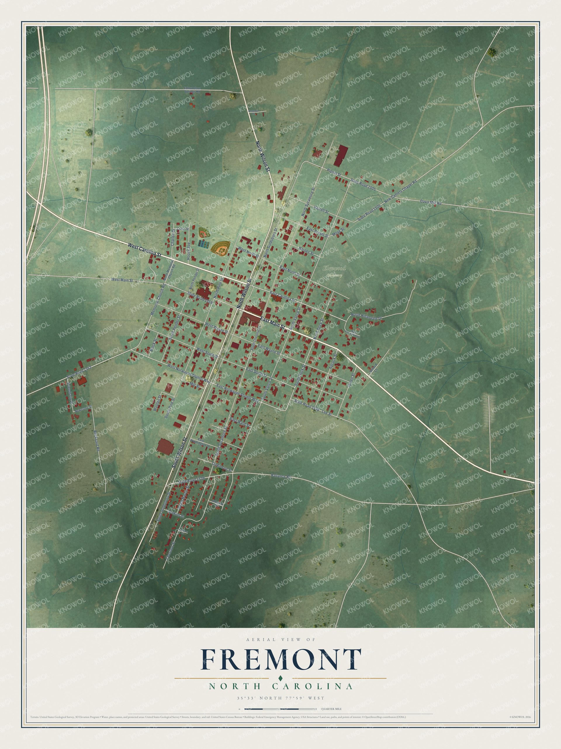
This beautifully detailed map of Fremont, North Carolina was created in 2026 using aerial imagery combined with modern topographical, census, street and landmark data. It's a modern aerial view of Fremont in Wayne County, North Carolina, that combines modern data with a vintage aesthetic. The roads feature printed names, and if you look closely you can find your exact house accurately shown in its correct location.
Explore an aerial view of Fremont, North Carolina
On this map you'll find Elmwood Cemetery, East Main Street, West Carolina Street, North Wilson Street, South Wilson Street, East Carolina Street, West Norwayne Alumni Way, State Road 1342, East Norwayne Alumni Way, Memorial Church Road, South Dock Street, Ballance Road, and more. Each red shape is a building, so zoom in on the preview and look for yours.
Fremont has a story worth telling. The North Carolina Gazetteer puts it this way: "Fremont town in N Wayne County. Inc. 1867 as Nahunta; name changed, 1869. Settled prior to 1830 and known as Narhantes and Torhunta. Named Fremont in honor of Col. S. L. Fremont, chief engineer of Wilmington and Weldon Railroad. Birthplace of Gov. Charles B. Aycock (1859-1912), 1 mi. s, has been restored as a State Historic Site."
Fremont is a town in Wayne County. The Census Bureau counted 1,196 people here in 2020.
Take a closer look at the Fremont map
Names on this map
These names are printed on this map.
Places: Elmwood Cemetery.
Streets and roads: East Main Street, West Carolina Street, North Wilson Street, South Wilson Street, East Carolina Street, West Norwayne Alumni Way, State Road 1342, East Norwayne Alumni Way, Memorial Church Road, South Dock Street, Ballance Road, State Road 1539.
More street names, A to Z
Aycock Street, Barnes Street, Bayberry Circle, Bentwood Drive, Black Street, Brickyard Road, Charles Drive, Chestnut Street, Cross Street, Davis Mill Road, Dickinson Street, East Bryant Street, East North Street, East South Street, East Ward Street, East Washington Street, East Wayne Street, Edmundson Springs Road, Friendship Drive, Green Street, Harrell Street, Hooks Avenue, Jenkins Street, Johnson Street, Lee Street, Milford Lane, Mill Street, Moye Street, New Daniels Chapel Road, Newsome Street, North Dock Street, North Goldsboro Street, North Hillandale Drive, North Memorial Church Road, North Pender Street, North Pine Street, North Sycamore Street, North Vance Street, Pippin Street, South Chestnut Street, South Goldsboro Street, South Hillandale Dirve, South Martin Street, South Pender Street, South Pine Street, South Sycamore Street, South Vance Street, State Road 1359, State Road 1504, State Road 1505, State Road 1538, West Main Street, West North Street, West South Street, West Wayne Street, Wooten Street.
Created by KNOWOL in 2026. The buildings are small red shapes, the roads carry their printed names, and shaded relief shows the shape of the land. The title panel reads "AERIAL VIEW OF FREMONT NORTH CAROLINA" with 35°33' NORTH 77°59' WEST.
It looks right in a kitchen, an office or a den, and it's a gift for anyone who grew up in Fremont or moved away. Open the preview and find your street. See sizes and frames for the Fremont map.