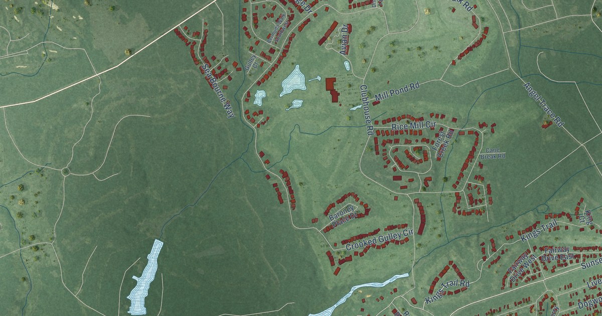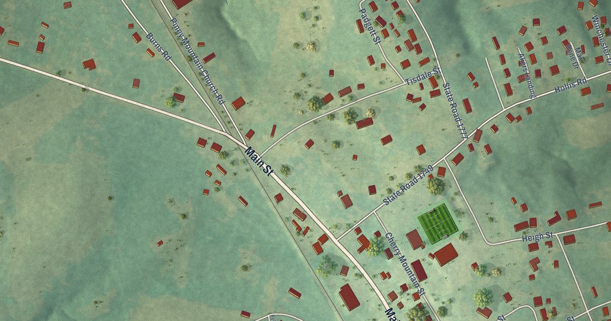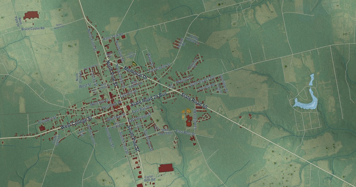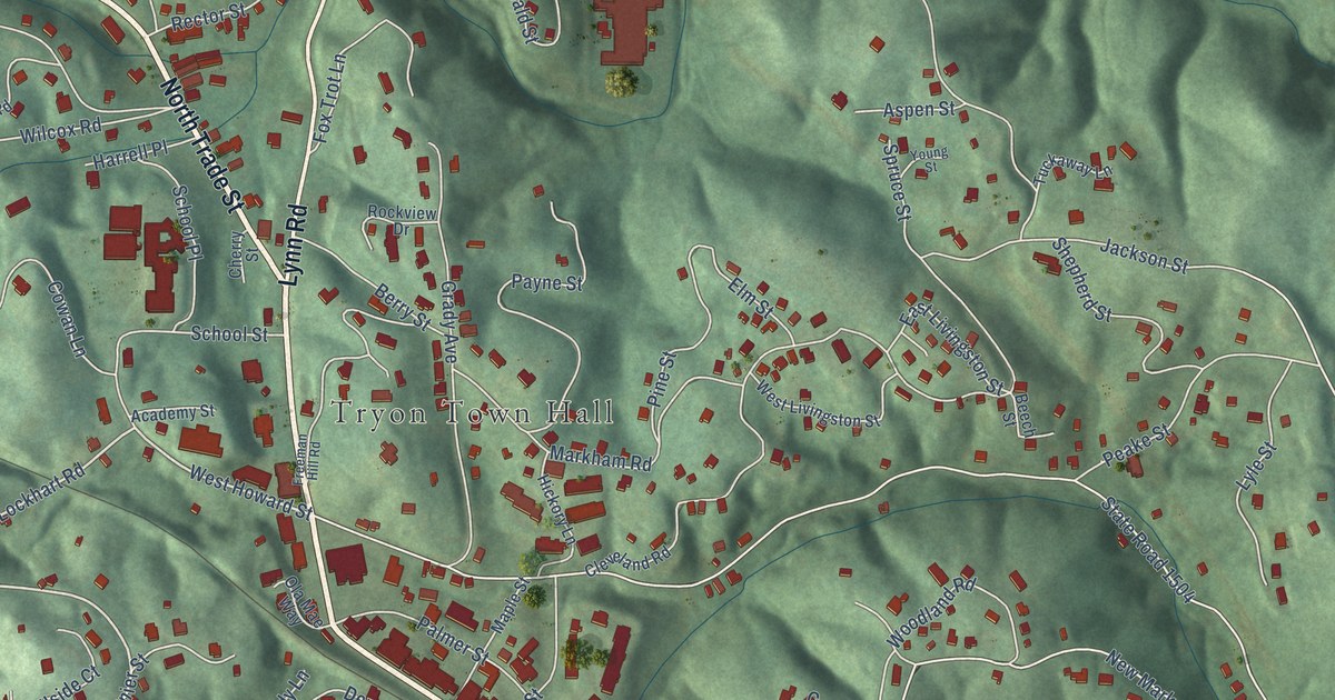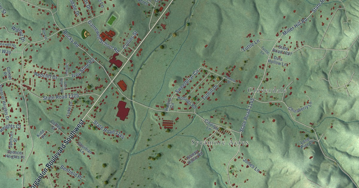
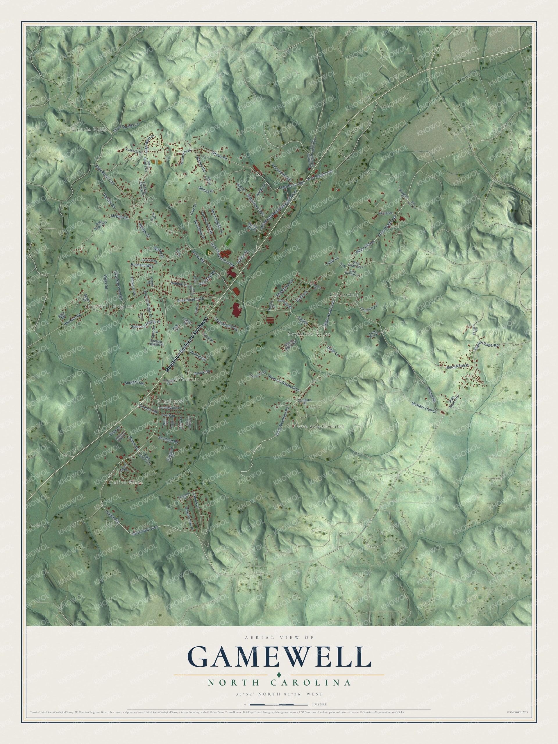
This beautifully detailed map of Gamewell, North Carolina was created in 2026 using aerial imagery combined with modern topographical, census, street and landmark data. It's a modern aerial view of Gamewell in Caldwell County, North Carolina, that combines modern data with a vintage aesthetic. The roads feature printed names, and if you look closely you can find your exact house accurately shown in its correct location.
Explore an aerial view of Gamewell, North Carolina
On this map you'll find Corola Hills, Calico Place, Town and Country, Cloverdale, Gamewell Heights, Pineburr, Pinehurst, Sycamore Acres, Morganton Boulevard Southwest, Calico Road, State Road 1145, Craig Mountain Road, and more. Each red shape is a building, so zoom in on the preview and look for yours.
Gamewell has a story worth telling. The Town of Gamewell puts it this way: "The community known today as Gamewell was once known as Sloughs Branch. It is believed that the first settlers came to the area in the 1700s. Later the community was named for the Reverend W. A. Gamewell and a Civil War soldier named Gamewell Tuttle."
Gamewell is a town in Caldwell County. The Census Bureau counted 3,702 people here in 2020.
Take a closer look at the Gamewell map
Names on this map
These names are printed on this map.
Places: Corola Hills, Calico Place, Town and Country, Cloverdale, Gamewell Heights, Pineburr, Pinehurst and Sycamore Acres.
Streets and roads: Morganton Boulevard Southwest, Calico Road, State Road 1145, Craig Mountain Road, Crump Road, State Road 1146, Clarks Chapel Road, State Road 1142, Miller Hill Road, Gamewell School Road, Sheely Road, State Road 1387.
More street names, A to Z
Amick Road, Autumnwood Place, Basswood Place, Beane Road, Beecher Anderson Road, Benfield Place, Berry Court, Birchdale Drive, Broadland Road, Caldwell School Road, Camelot Drive, Cameo Lane, Cantelmo Place, Capital Court, Chester Road, Chinaberry Lane, Cindilyn Lane, Clay Drive, Clay Fish Pond Road, Coffey Street, Collins Street, Corner Place, Corolla Hills Drive, Dula Hollow Lane, East Flat Church Road, Ebb Smith Road, Eller Court, Evanbrook Court, Fox Run, Grassy Meadows Place, Grogan Drive, Hartland Road, Helton Drive, Hickory Heights, Highland Way, High West Drive, Hollar Drive, Hollings Road, Hollins Circle, Ivey Stine Road, Jones Lane, Kent Ests, Kidd Place, Kincaid Hill Road, Kincaid Place, Lone Pine Place, Luke Lane, Majestic View Place, McCall Road, Morningside Lane, Mystery Trail Lane, Oaklawn Court, Oakleaf Lane, Obsidian Lane, Old Morganton Road Southwest, Pineburr Road, Pinehurst Acres Street, Quail Court, Ransom Cardwell Lane, Reba Cardwell Lane, Redbud Place, Redcliff Drive, Rocky Road, Rural Retreat, Silver Springs Lane, Sleepy Hollar Road, Southard Road, Spears Drive, Spears Road, Spencer Heights Court, Spencer Heights Drive, Spencer Heights Place, Spencer Lane, Spencer Street, State Road 1143, State Road 1144, State Road 1149, State Road 1153, State Road 1190, State Road 1272, State Road 1287, State Road 1320, State Road 1321, State Road 1325, State Road 1377, State Road 1380, State Road 1386, Story Road, Summerow Place, Sunset Trail, Sweetbriar Circle, Tank Hill Place, Turtle Lane, Tuthill Drive, Tuttle Lane, Walnut Drive, Warren Acres, Watson Road, Willis Road, Winkler Street.
Created by KNOWOL in 2026. The buildings are small red shapes, the roads carry their printed names, and shaded relief shows the shape of the land. The title panel reads "AERIAL VIEW OF GAMEWELL NORTH CAROLINA" with 35°52' NORTH 81°36' WEST.
It looks right in a kitchen, an office or a den, and it's a gift for anyone who grew up in Gamewell or moved away. Open the preview and find your street. See sizes and frames for the Gamewell map.