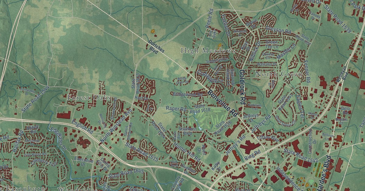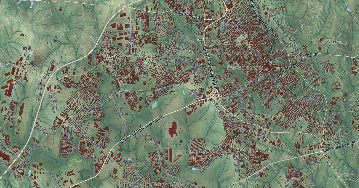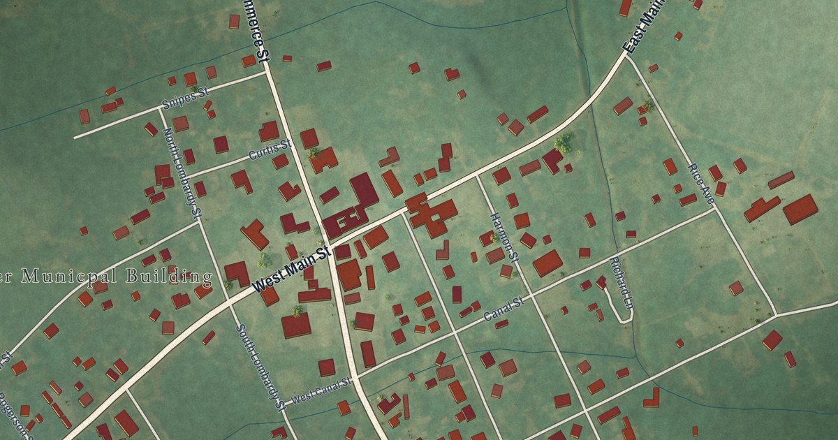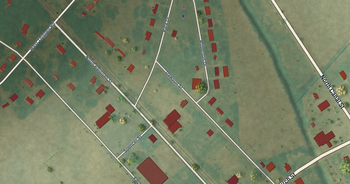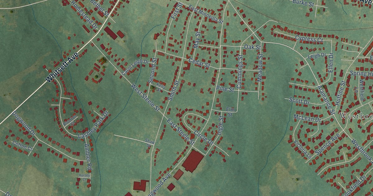
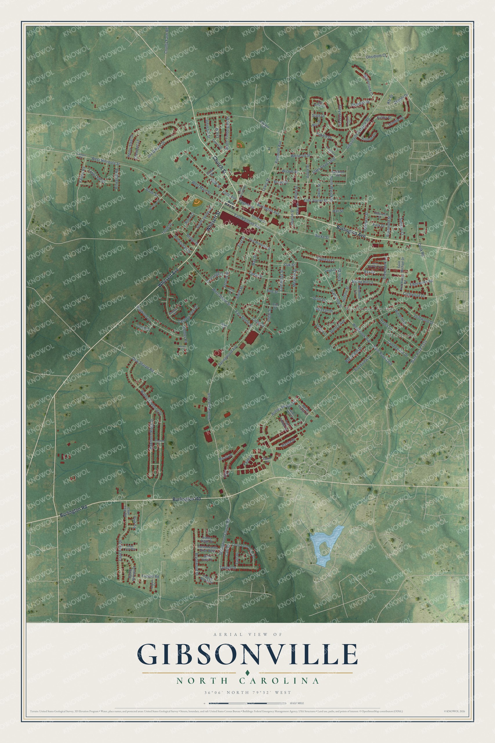
This beautifully detailed map of Gibsonville, North Carolina was created in 2026 using aerial imagery combined with modern topographical, census, street and landmark data. It's a modern aerial view of Gibsonville in Guilford County, North Carolina, that combines modern data with a vintage aesthetic. The roads feature printed names, and if you look closely you can find your exact house accurately shown in its correct location.
Explore an aerial view of Gibsonville, North Carolina
On this map you'll find Westbrook, Westbrook Forest, Church Street, Burlington Avenue, Burlington Road, Whitsett Avenue, Whitsett Street, Cummings Street, Alamance Street, West Main Street, Ashley Woods Drive, State Road 2748, and more. Each red shape is a building, so zoom in on the preview and look for yours.
Every town has a first chapter, and Gibsonville is no exception. The National Register of Historic Places puts it this way: "The North Carolina Railroad named the area around the depot Gibsonville, in honor of Joseph Gibson."
Gibsonville is a town in Guilford County. The Census Bureau counted 8,920 people here in 2020.
Take a closer look at the Gibsonville map
Names on this map
These names are printed on this map.
Places: Westbrook and Westbrook Forest.
Streets and roads: Church Street, Burlington Avenue, Burlington Road, Whitsett Avenue, Whitsett Street, Cummings Street, Alamance Street, West Main Street, Ashley Woods Drive, State Road 2748, State Road 1311, Springwood Church Road.
More street names, A to Z
Abigail Lane, Alyssa Drive, Ambler Road, Apple Street, Ashley Ridge Drive, Bethel Street, Boling Springs Court, Bolivia Court, Broad Street, Brookfield Drive, Brookview Drive, Brownbark Lane, Brownstone Drive, Brycewood Drive, Burke Street, Cale Drive, Candlewood Drive, Cape Fear Drive, Cape Fear Road, Cape Fear Way, Carmon Road, Carol Leigh Drive, Carson Farms Drive East, Carson Farms Drive West, Carson Woods Drive, Cedar Street, Chase Street, Circle Drive, Claystone Drive, Club Square, Cobb Street, Cook Road, Cotton Court, County Farm Road, Crescent Lane, Croftwood Drive, Cypress Court, Dew Sharpe Road, Dick Street, Dogwood Drive, Driftwood Drive, East Joyner Street, East Main Street, East Minneola Street, East Railroad Avenue, East Steele Street, Edgewater Road, Ellen Drive, Elm Street, Eugene Street, Eva Drive, Faith Drive, Falcon Road, Farwood Road, First Street, Forest Drive, Frissell Road, Gibsonville Ossipee Road, Goodson Avenue, Graphite Drive, Hall Street, Hawthorn Ridge Drive, Henry Steel Drive, Hillcrest Drive, Homestead Drive, Huffine Street, Hursey Court, Hutchinson Road, Ingle Street, Joe Gibson Drive, Johnston Street, Kelly Street, Kfc Drive, Kutter Drive, Lashley Park Drive, Lee Street, Leigh Drive, Lewis Street, Little Avenue, Long Leaf Drive, May Street, McLean Drive, Meadow Street, Mica Drive, Mikaila Drive, Moonstone Court, North Wharton Avenue, North Wyrick Street, Oakhurst Street, Oak Street, Obsidium Court, Owen Street, Park Drive, Pebble Drive, Piedmont Avenue, Pine Street, Pineview Road, Redstone Court, Riverton Court, Rosemont Street, Sadie Lane, Saint Michael Drive, Saint Nicholas Trail, Scott Drive, Second Street, Sharon Street, Shaw Street, Silverbell Street, Silver Maple Drive, Slade Street, Slate Drive, Smith Street, South Joyner Street, South Timbergate Drive, Spence Avenue, Spring Hill Lane, Springwood Avenue, State Road 1309, State Road 1500, Still Water Circle, Sullivan Court, Tall Timber Drive, Tate Drive, Tenth Street, Travis Lane, Trimble Drive, Triumph Drive, Tyndall Drive, Victoria Lane, Walnut Crossing Drive, Westbrook Avenue, Westfield Lane, West Minneola Street, West Steele Street, West View Drive, White Poplar Drive, Whitesell Street, Wicker Street, Willow Court, Windrift Drive, Woodlawn Drive, Wood Street, Zeigler Drive.
Created by KNOWOL in 2026. The buildings are small red shapes, the roads carry their printed names, and shaded relief shows the shape of the land. The title panel reads "AERIAL VIEW OF GIBSONVILLE NORTH CAROLINA" with 36°06' NORTH 79°32' WEST.
Hang it in the hallway, the office or the cabin, or give it to someone who left Gibsonville and still calls it home. Open the preview and look for a street you know. See sizes and frames for the Gibsonville map.