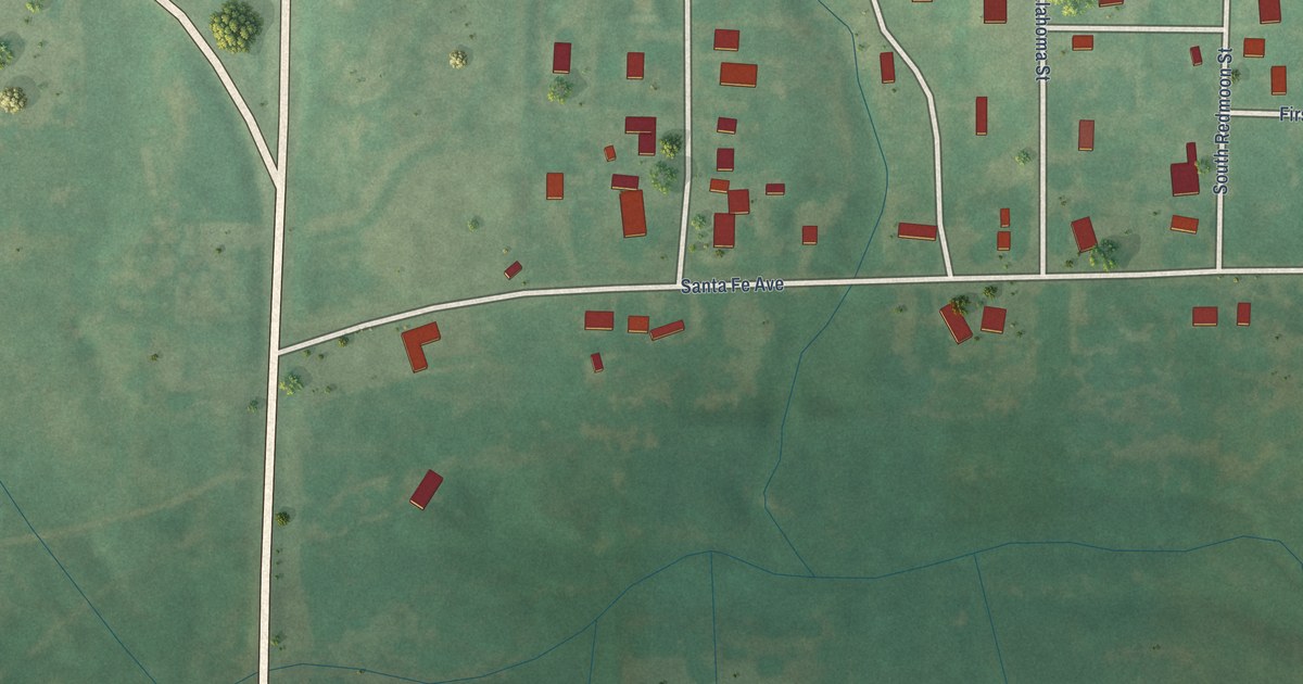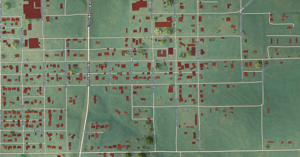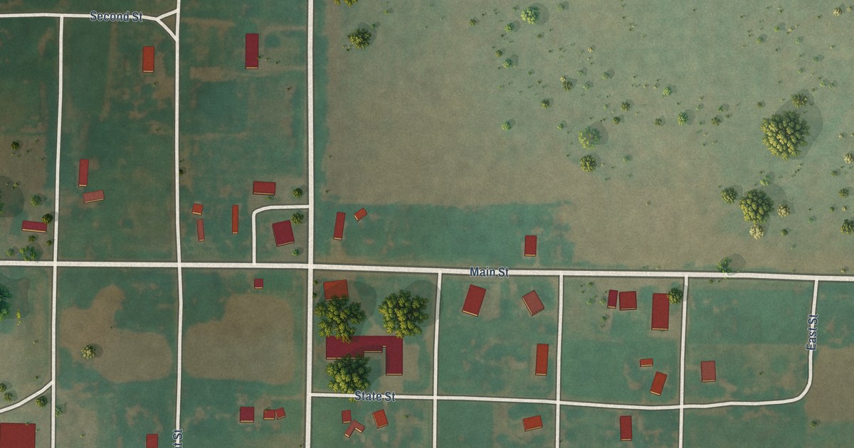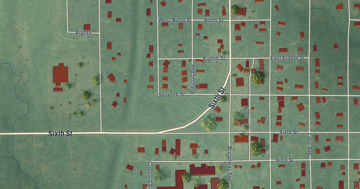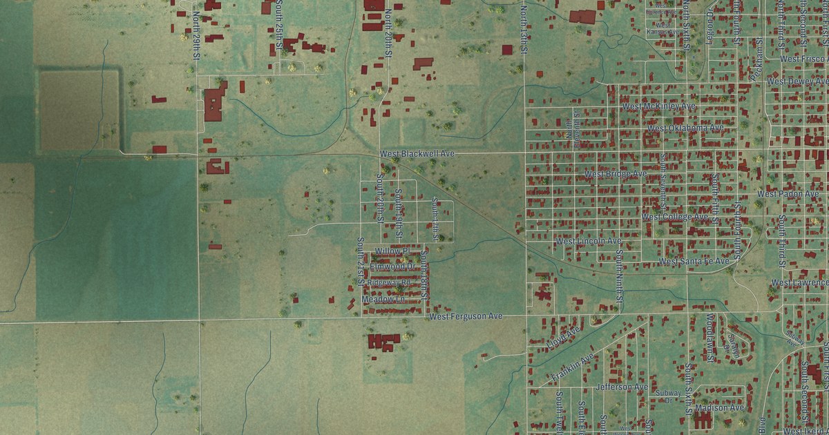
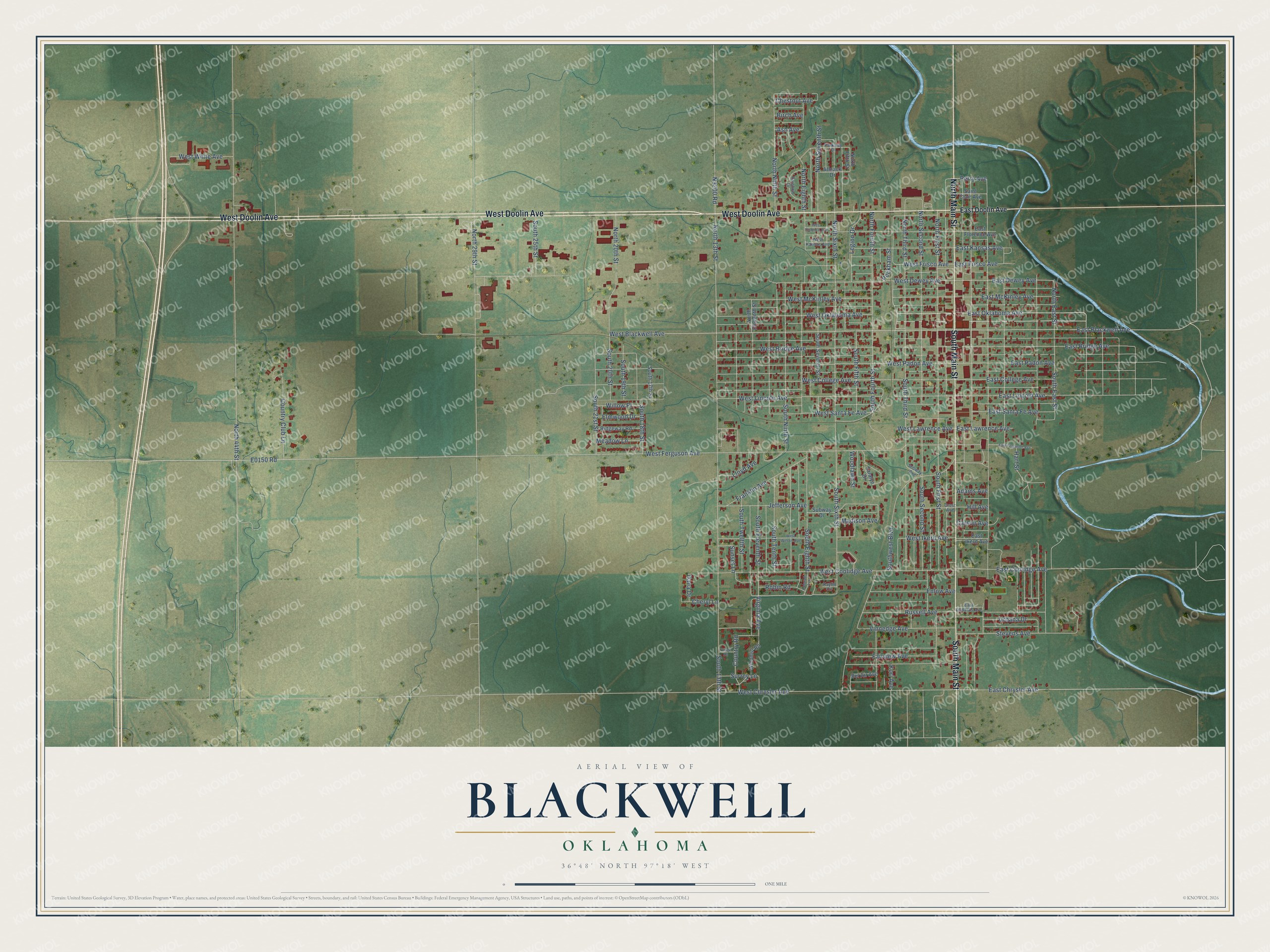
This beautifully detailed map of Blackwell, Oklahoma was created in 2026 using aerial imagery combined with modern topographical, census, street and landmark data. It's a modern aerial view of Blackwell in Kay County, Oklahoma, that combines modern data with a vintage aesthetic. The roads feature printed names, and if you look closely you can find your exact house accurately shown in its correct location.
Explore an aerial view of Blackwell, Oklahoma
On this map you'll find West Doolin Avenue, South Main Street, North Main Street, West Oklahoma Avenue, East Oklahoma Avenue, East Blackwell Avenue, West Blackwell Avenue, South 20th Street, North 20th Street, Country Road, East Kansas Avenue, West Lincoln Avenue, and more. Each red shape is a building, so zoom in on the preview and look for yours.
Blackwell has a story worth telling. The record at okhistory.org puts it this way: "Due to a struggle for regional prominence between Blackwell and nearby Parker, the post office was named Parker from April 2, 1894, to February 4, 1895."
Blackwell is a city in Kay County.
Take a closer look at the Blackwell map
Names on this map
These names are printed on this map.
Streets and roads: West Doolin Avenue, South Main Street, North Main Street, West Oklahoma Avenue, East Oklahoma Avenue, East Blackwell Avenue, West Blackwell Avenue, South 20th Street, North 20th Street, Country Road, East Kansas Avenue, West Lincoln Avenue.
More street names, A to Z
Adams Avenue, Almack Drive, Ash Avenue, Bel Air Avenue, Birch Avenue, Carson Avenue, Cheryl Lane, Chestnut Avenue, Colorado Avenue, Country Club Lane, Crest Avenue, Dana Drive, East Bridge Avenue, East Chrysler Avenue, East College Avenue, East Coolidge Avenue, East Dewey Avenue, East Doolin Avenue, East Edwards Avenue, East Ferguson Avenue, East Florence Avenue, East Frisco Avenue, East Ikerd Avenue, East Lawrence Avenue, East Lincoln Avenue, East McKinley Avenue, East Padon Avenue, East Santa Fe Avenue, Elmwood Drive, Enlow Avenue, Fairview Avenue, Franklin Avenue, Fringe Road, Hart Street, Hill Avenue, Jefferson Avenue, Kaylin Circle, Kori Avenue, Legion Drive, Lloyd Avenue, Madison Avenue, Meadow Lane, North 13th Street, North 29th Street, North 44th Street, North East Street, North Eighth Street, North Eleventh Street, North Fifth Street, North First Street, North Fourth Street, North Ninth Street, North Second Street, North Seventh Street, North Sixth Street, North Third Street, Parkway Drive, Peckham Street, Perry Avenue, Rainbow Drive, Ridgeway Road, Robin Road, Russell Avenue, Saint Clair Avenue, Saralyn Drive, South 13th Street, South 17th Street, South 18th Street, South 19th Street, South 21st Street, South 25th Street, South East Street, South Eighth Street, South Eleventh Street, South Fifth Street, South First Street, South Fourth Street, South Ninth Street, South Second Street, South Seventh Street, South Sixth Street, South Tenth Street, South Third Street, South Twelfth Street, Southwest Boulevard, Stevens Avenue, Subway Avenue, Subway Drive, Sunset Lane, Surrey Lane, Urbana Drive, Vinnedge Avenue, Virginia Avenue, West Bridge Avenue, West Chrysler Avenue, West College Avenue, West Coolidge Avenue, West Dewey Avenue, West Ferguson Avenue, West Florence Avenue, West Frisco Avenue, West Ikerd Avenue, West Kansas Avenue, West Lawrence Avenue, West McKinley Avenue, West Padon Avenue, West Santa Fe Avenue, West White Avenue, West Wilson Avenue, Willow Place, Windmill Road, Woodlawn Street.
Created by KNOWOL in 2026. The buildings are small red shapes, the roads carry their printed names, and shaded relief shows the shape of the land. The title panel reads "AERIAL VIEW OF BLACKWELL OKLAHOMA" with 36°48' NORTH 97°18' WEST.
It looks right in a kitchen, an office or a den, and it's a gift for anyone who grew up in Blackwell or moved away. Open the preview and find your street. See sizes and frames for the Blackwell map.