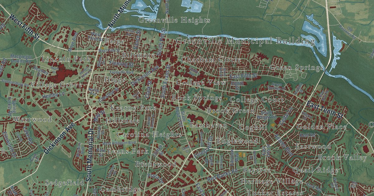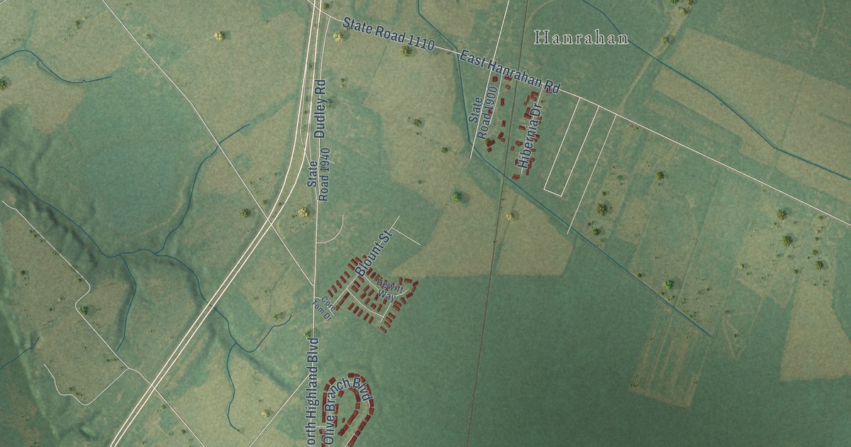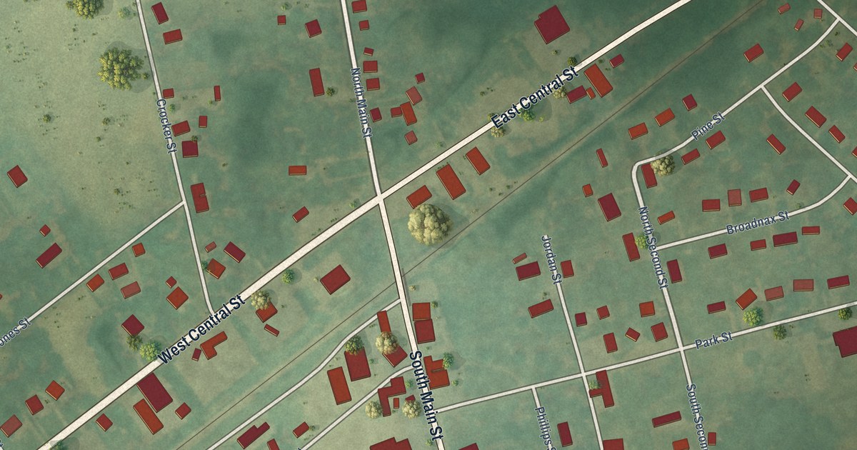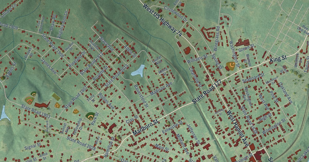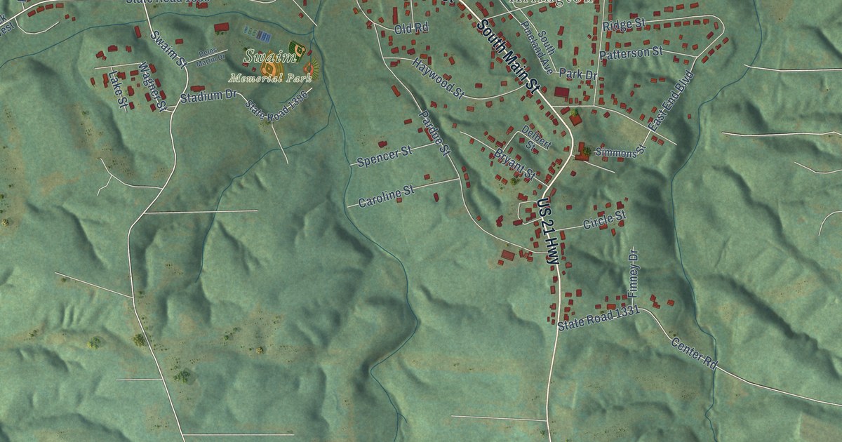
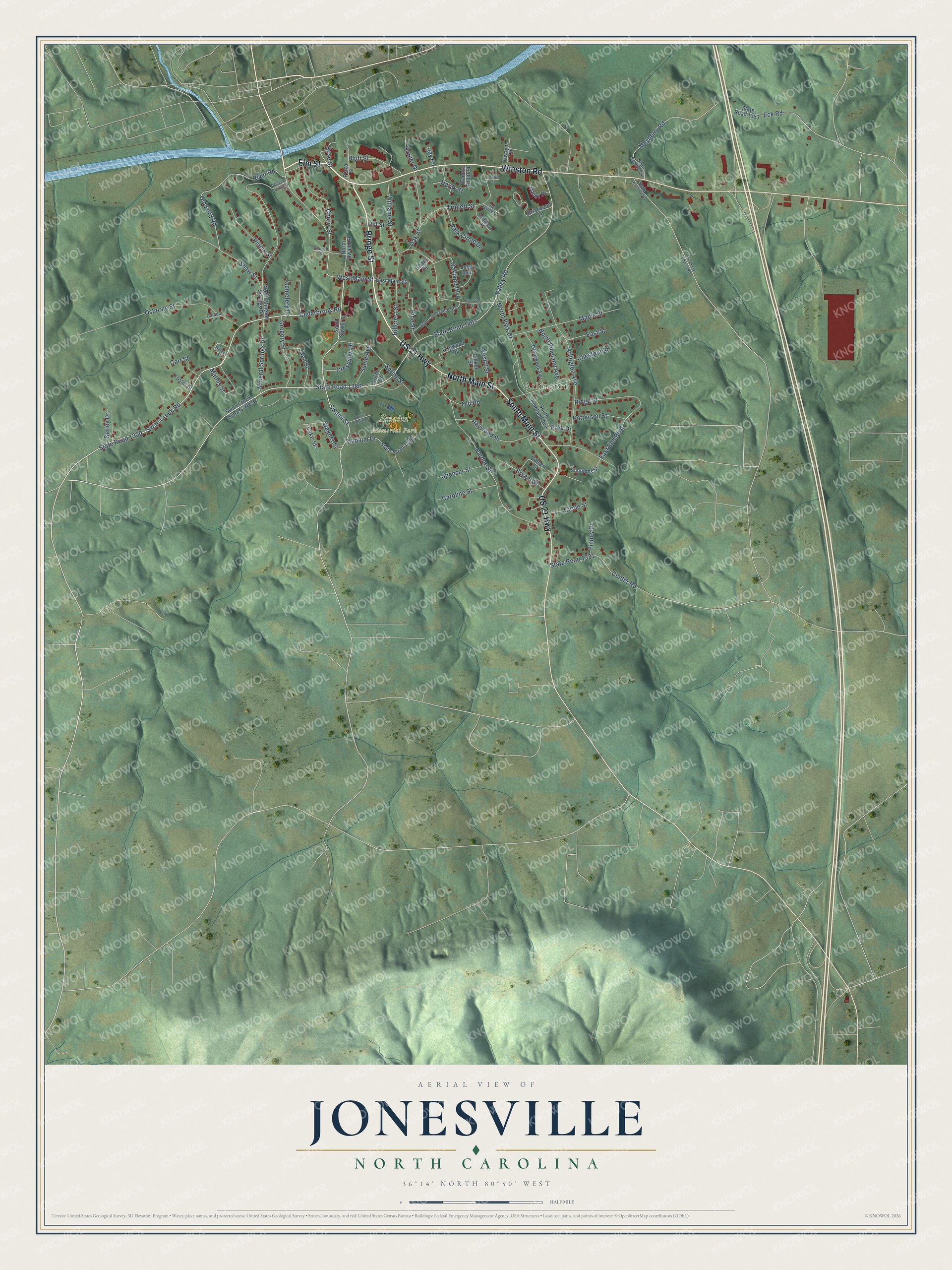
This beautifully detailed map of Jonesville, North Carolina was created in 2026 using aerial imagery combined with modern topographical, census, street and landmark data. It's a modern aerial view of Jonesville in Yadkin County, North Carolina, that combines modern data with a vintage aesthetic. The roads feature printed names, and if you look closely you can find your exact house accurately shown in its correct location.
Explore an aerial view of Jonesville, North Carolina
On this map you'll find Arlington, Swaim Memorial Park, Bridge Street, Elm Street, Winston Road, North Main Street, South Main Street, Cedarbrook Road, Swan Creek Road, State Road 1386, State Road 1300, Swaim Street, and more. Each red shape is a building, so zoom in on the preview and look for yours.
Here is a piece of Jonesville history, in the words of the record. The North Carolina Gazetteer puts it this way: "Jonesville town in NW Yadkin County on the S side of Yadkin River. Est. about 1811 on the land of Richard Cunningham and Jesse Lester and named Martinsborough, probably for Governor Alexander Martin of nearby Stokes County, who died in 1807. Name changed to Jonesville for local citizen Hardy Jones in 1815. Inc. 1852. Merged with Arlington, 2001."
Jonesville is a town in Yadkin County. The Census Bureau counted 2,308 people here in 2020.
Take a closer look at the Jonesville map
Names on this map
These names are printed on this map.
Places: Arlington and Swaim Memorial Park.
Streets and roads: Bridge Street, Elm Street, Winston Road, North Main Street, South Main Street, US 21 Highway, Cedarbrook Road, Swan Creek Road, State Road 1386, State Road 1300, Swaim Street, West Main Street.
More street names, A to Z
Arlington Avenue, Berley Drive, Bluff Street, Briarwood Lane, Bryant Street, Canipe Lane, Caroline Street, Carr Street, Cemetery Drive, Center Road, Cherry Street, Chestnut Street, Church Street, Circle Street, Crestview Drive, Delbert Street, Delos Martin Drive, Dogwood Drive, Dwayne Street, East End Boulevard, East Main Street, East Street, Eck Road, Fall Creek Church Road, Finney Drive, Foster Street, Francis Pruitt Street, Ghant Street, Glenwood Avenue, Gregory Street, Hall Street, Hardy Street, Haywood Street, Hillcrest Street, Hill Street, James Street, Jay Circle, Jonesville Boulevard, Joy Lynne Court, Lake Street, Loop Avenue, Maple Street, Mathis Street, Mayberry Road, Mineral Spring Drive, Mineral Springs Drive, North Drive, North Mineral Springs Drive, North Park Drive, North Pineland Avenue, North Swaim Street, Oakland Boulevard, Oak Street, Old Ford Road, Old Road, Osborne Street, Pardue Street, Park Circle Drive, Park Drive, Patterson Street, Pickett Street, Pine Street, Pinnix Street, Plaza Street, Ridge Street, River Road, Robinson Court, Rose Street, Shaw Street, Simmons Street, South Jonesville Boulevard, South Pineland Avenue, South Swaim Street, Spencer Street, Spring Street, Stadium Drive, State Road 1331, State Road 1352, State Road 1353, State Road 1396, State Road 1403, State Road 1404, Sunie Avenue, Swan Creek Bypass West, Trailer Drive, Triplett Street, Valley Drive, Valley Road, Vestal Street, Wagner Street, Welborn Street, Williams Street.
Created by KNOWOL in 2026. The buildings are small red shapes, the roads carry their printed names, and shaded relief shows the shape of the land. The title panel reads "AERIAL VIEW OF JONESVILLE NORTH CAROLINA" with 36°14' NORTH 80°50' WEST.
It suits a den, a classroom or a front hall, and it makes a gift for anyone with Jonesville roots. Open the preview and find the block you know. See sizes and frames for the Jonesville map.