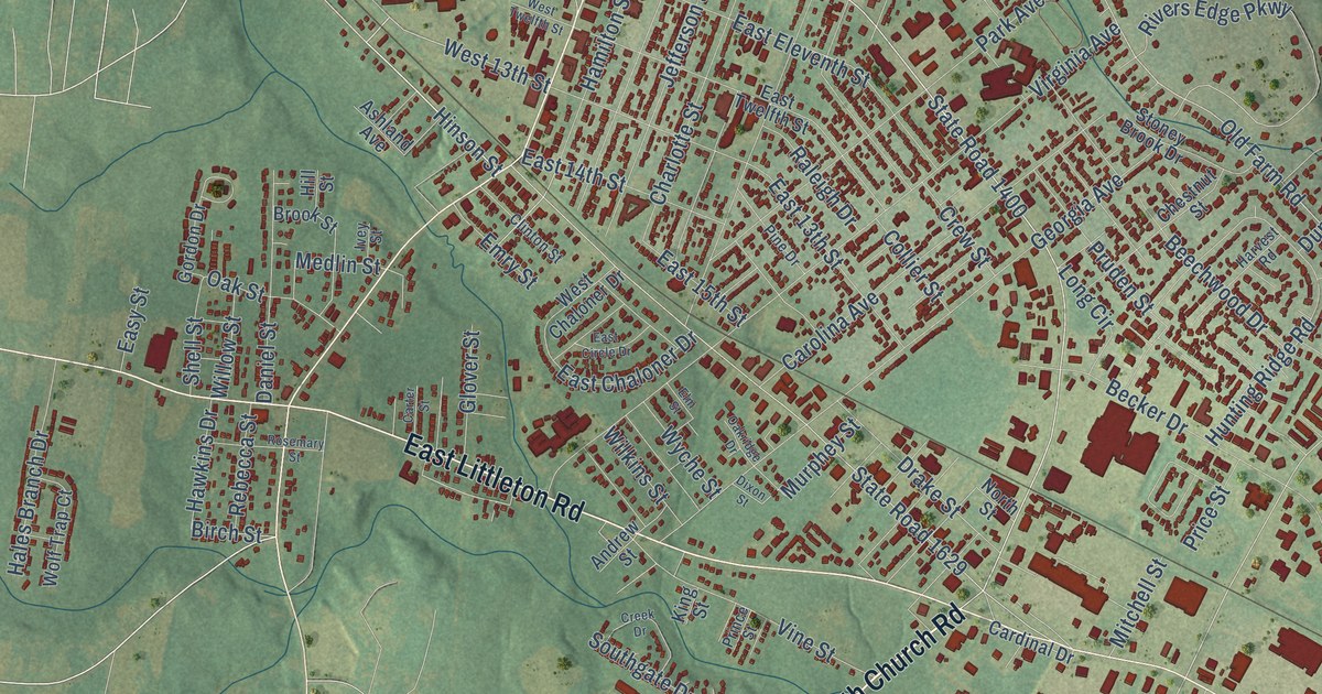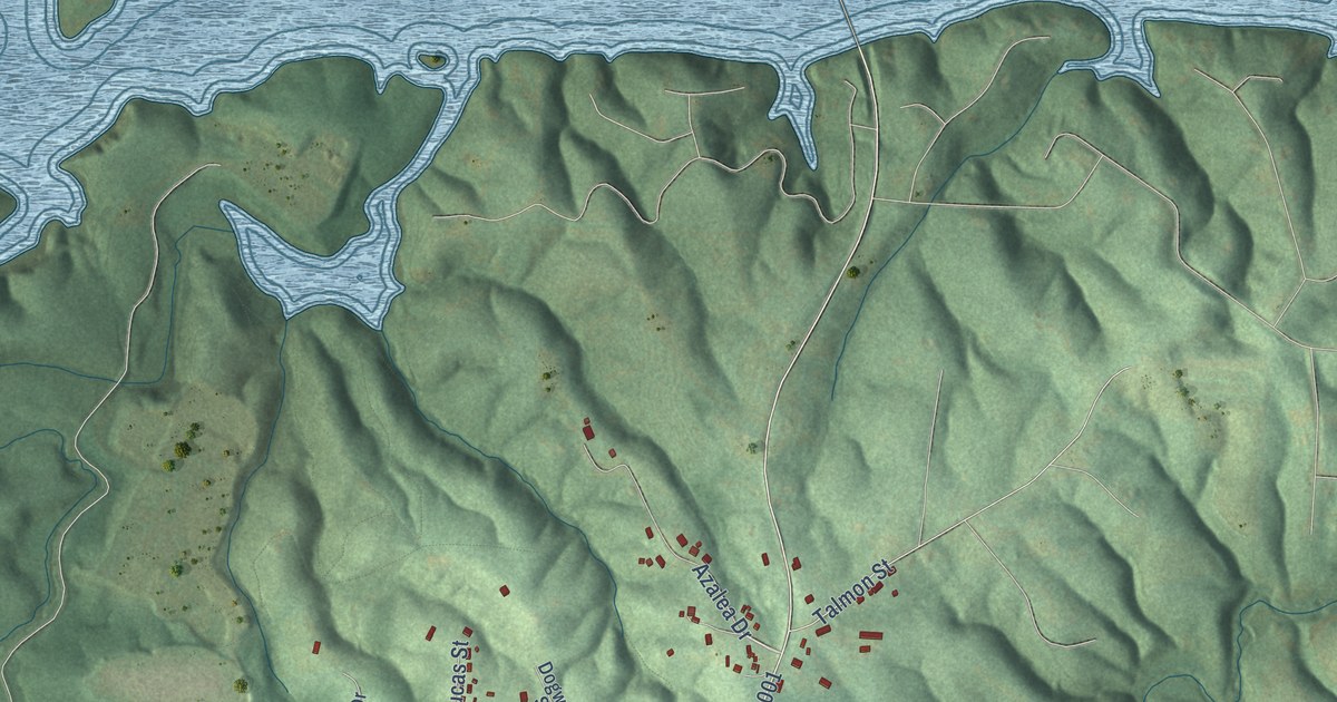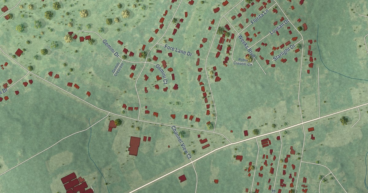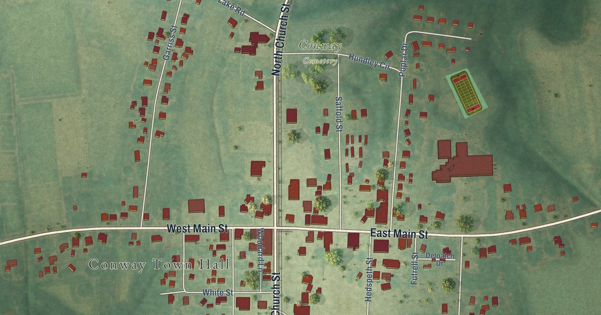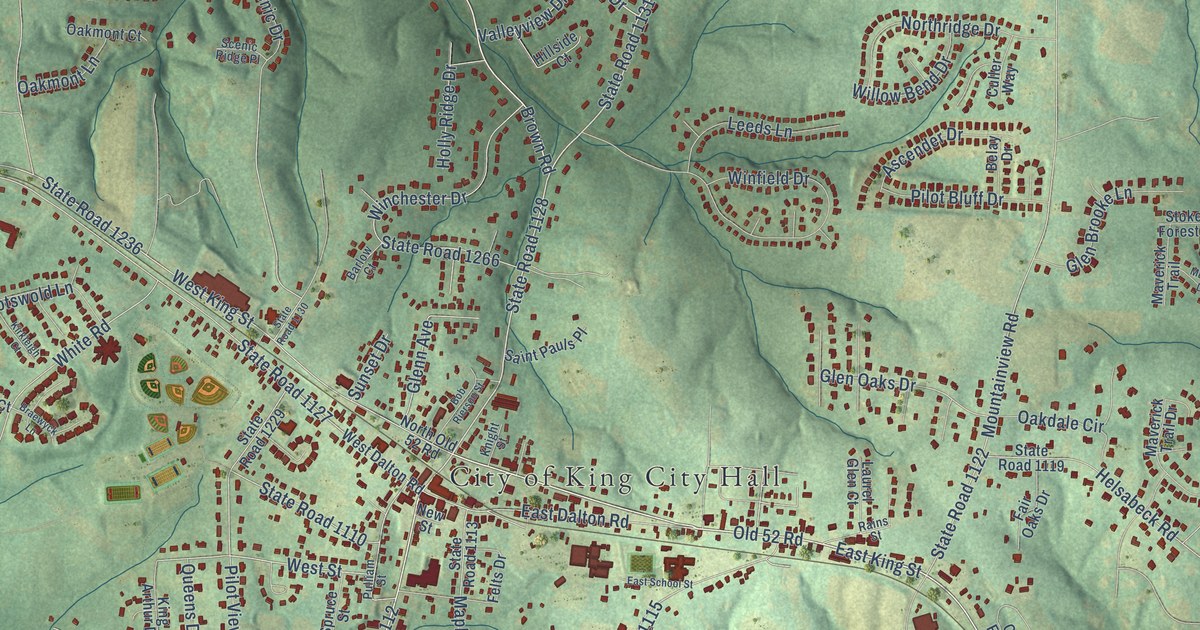
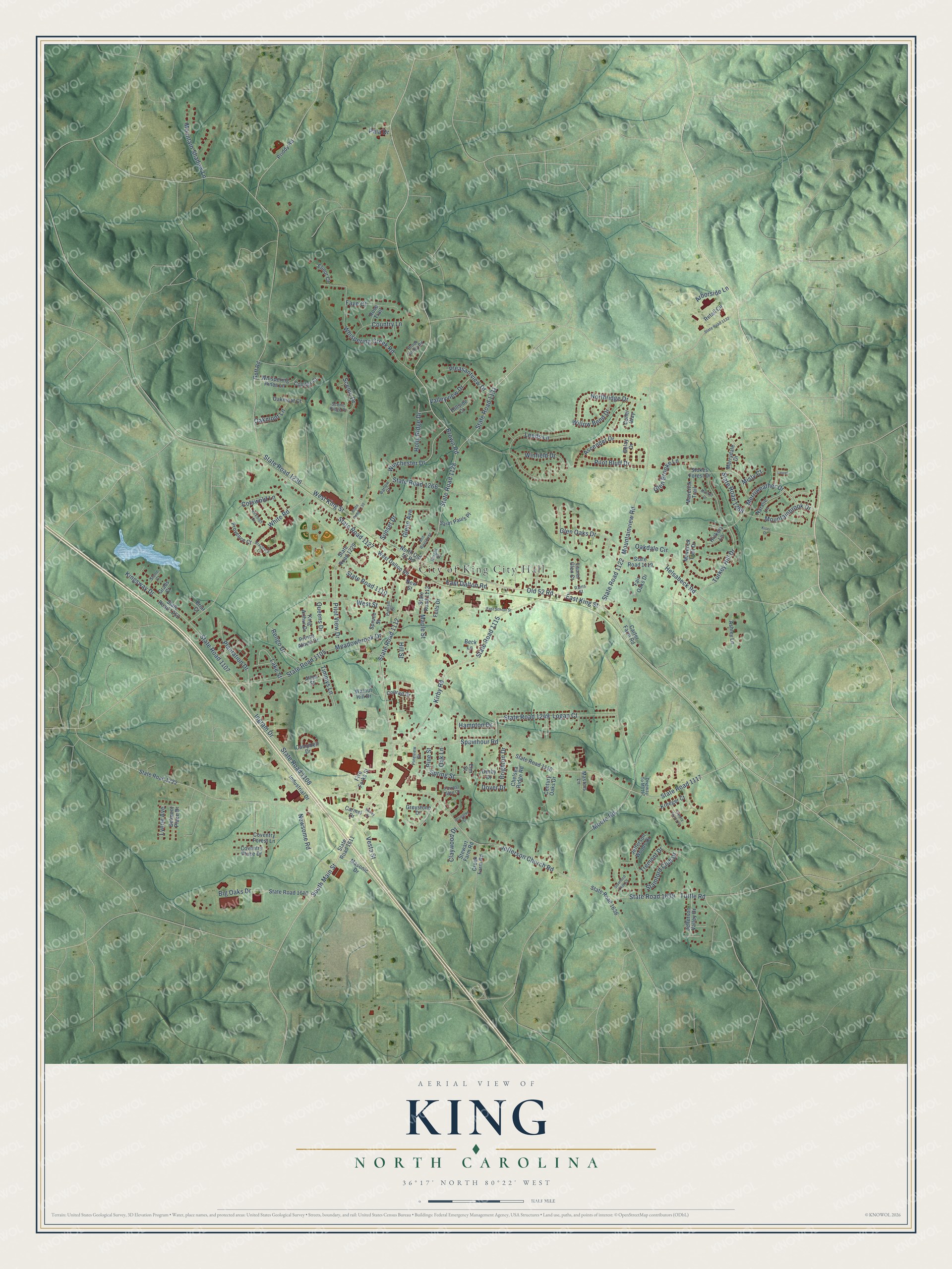
This beautifully detailed map of King, North Carolina was created in 2026 using aerial imagery combined with modern topographical, census, street and landmark data. It's a modern aerial view of King in Stokes County, North Carolina, that combines modern data with a vintage aesthetic. The roads feature printed names, and if you look closely you can find your exact house accurately shown in its correct location.
Explore an aerial view of King, North Carolina
On this map you'll find City of King City Hall, South Main Street, State Road 1128, State Road 1112, East King Street, Old 52 Road, Brown Road, State Road 1131, State Road 1117, West Street, Glen Oaks Drive, State Road 1236, and more. Each red shape is a building, so zoom in on the preview and look for yours.
Here is a piece of King history, in the words of the record. The North Carolina Gazetteer puts it this way: "King community in SW Stokes County. Alt. 1,115. Originally known as King's Cabin for a double log cabin owned by Oscar King. The present name was adopted with the coming of the railroad."
King is a city in Stokes County. The Census Bureau counted 7,197 people here in 2020.
Take a closer look at the King map
Names on this map
These names are printed on this map.
Places: City of King City Hall.
Streets and roads: South Main Street, State Road 1128, State Road 1112, East King Street, Old 52 Road, Brown Road, State Road 1131, State Road 1117, West Street, Glen Oaks Drive, State Road 1236, Spainhour Road.
More street names, A to Z
Allen Street, Arborside Lane, Arlington Court, Ascender Drive, Ashley Lane, Bailey Drive, Barlow Court, Beck Lane, Belay Drive, Belmont Place Drive, Big Oaks Drive, Bob Rierson Street, Braewyck Lane, Briar Court, Brighton Drive, Brook Valley Road, Campbell Drive, Carmel Drive, Carter Farm Road, Century Oaks Drive, Chelsea Ridge Road, Claywood Drive, Conifer Court, Conrad Drive, Cotswold Lane, Country Lane, Coventry Forest Lane, Coventry Place Drive, Creek Farm Road, Culler Way, Derby Drive, Diveway To Ms117, Dover Drive, East Dalton Road, East School Street, Elinor Court, Elm Street, Fair Oaks Drive, Faye Court, Felts Drive, Five Forks Street, Forrest Glen Court, Gentry Farms Place, Glen Brooke Lane, Glenn Avenue, Goff Road, Grabs Court, Greystone Drive, Hampton Drive, Helsabeck Road, Hickory Lane, Hillside Court, Hill Street, Holly Ridge Drive, Industrial Drive, Ingram Drive, Jefferson Church Road, Jefferson Valley Drive, Jefferson Woods Drive, King Arthur Drive, Kingsway Drive, Kirby Road, Kirkleigh Court, Kiser Drive, Knight Street, Kreeger Court, Lake Street, Laurel, Laurel Glen Court, Leeds Lane, Logan Court, Lynne Avenue, Maple Street, Masonic Drive, Masters Lane, Maverick Trail, Maverick Trail Drive, Meadowbrook Drive, Merriweather Drive, Merrydale Drive, Misty Court, Moore Road, Mountainbrook Drive, Mountain Shadow Lane, Mountainview Road, Musket Drive, Natalie Lane, Newsome Road, New Street, North Old 52 Road, Northridge Drive, Oakdale Circle, Oak Lane, Oakmont Court, Oakmont Lane, Pala Drive, Pilot Bluff Drive, Pilot View Drive, Pine Street, Pineview Drive, Plantation Drive, Pleasantview Drive, Priddy Road, Prince Albert Drive, Provence Court, Pulliam Street, Queens Drive, Rains Street, Rengo Drive, Retail Circle, Rose Trail, Saint Pauls Place, Scenic Drive, Scenic Ridge Place, Spring Street, Spruce Street, Stamford Club Court, Stamford Club Drive, State Road 1105, State Road 1107, State Road 1108, State Road 1110, State Road 1113, State Road 1115, State Road 1116, State Road 1119, State Road 1122, State Road 1127, State Road 1130, State Road 1132, State Road 1222, State Road 1229, State Road 1249, State Road 1252, State Road 1266, State Road 1288, State Road 1610, State Road 1611, State Road 1636, State Road 1639, Stewart Farm Road, Stokes Forest Drive, Stone Court, Sunset Drive, Timmys Lane, Tremont Drive, Turkey Hill Drive, Tuttle Road, Valleyview Drive, Vesta Street, Walnut Hill Drive, West Dalton Road, West King Street, Whispering Creek Road, Whispering Pines Lane, White Road, Willow Bend Drive, Winchester Drive, Winfield Drive.
Created by KNOWOL in 2026. The buildings are small red shapes, the roads carry their printed names, and shaded relief shows the shape of the land. The title panel reads "AERIAL VIEW OF KING NORTH CAROLINA" with 36°17' NORTH 80°22' WEST.
It suits a den, a classroom or a front hall, and it makes a gift for anyone with King roots. Open the preview and find the block you know. See sizes and frames for the King map.