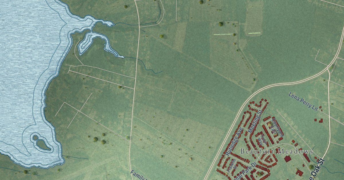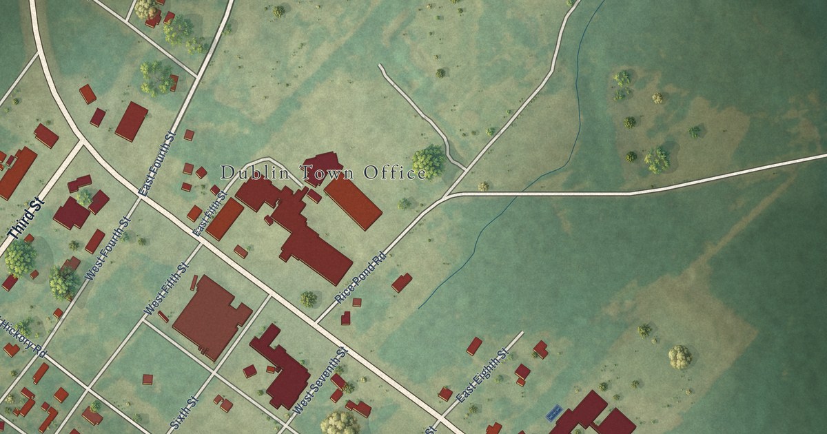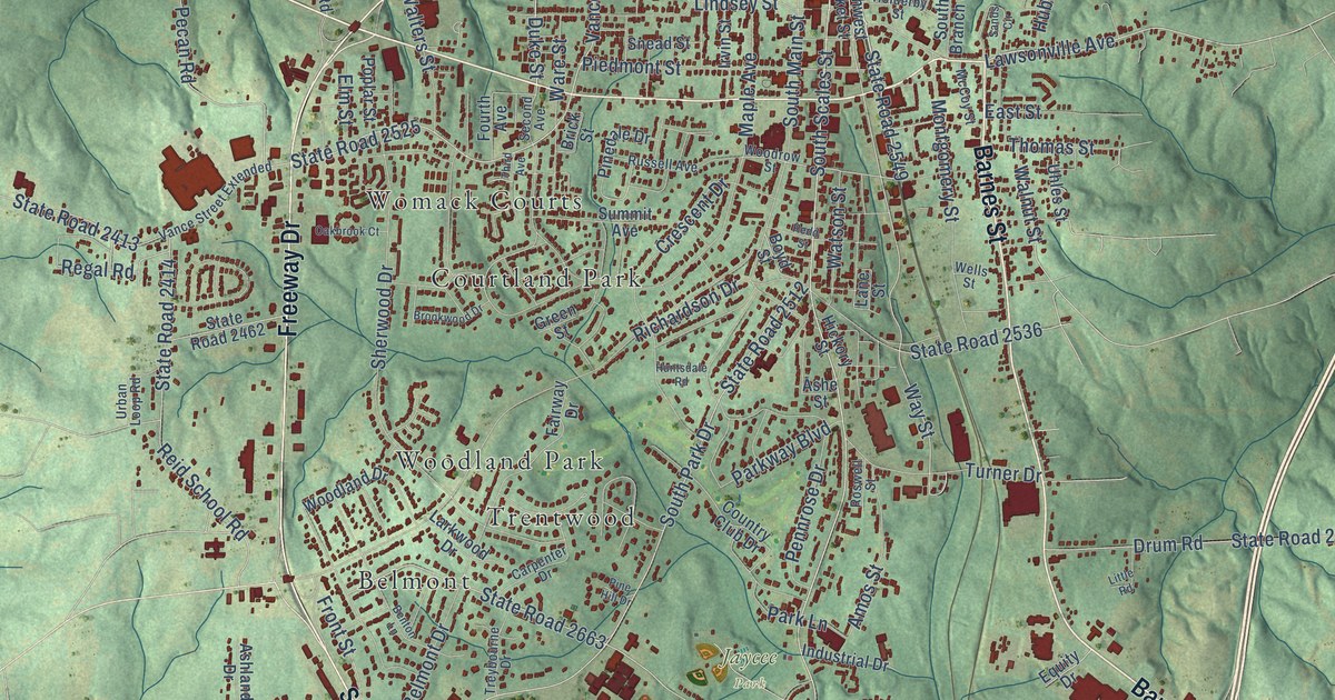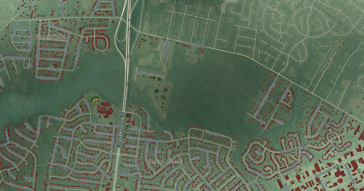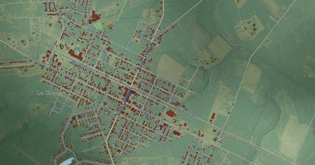
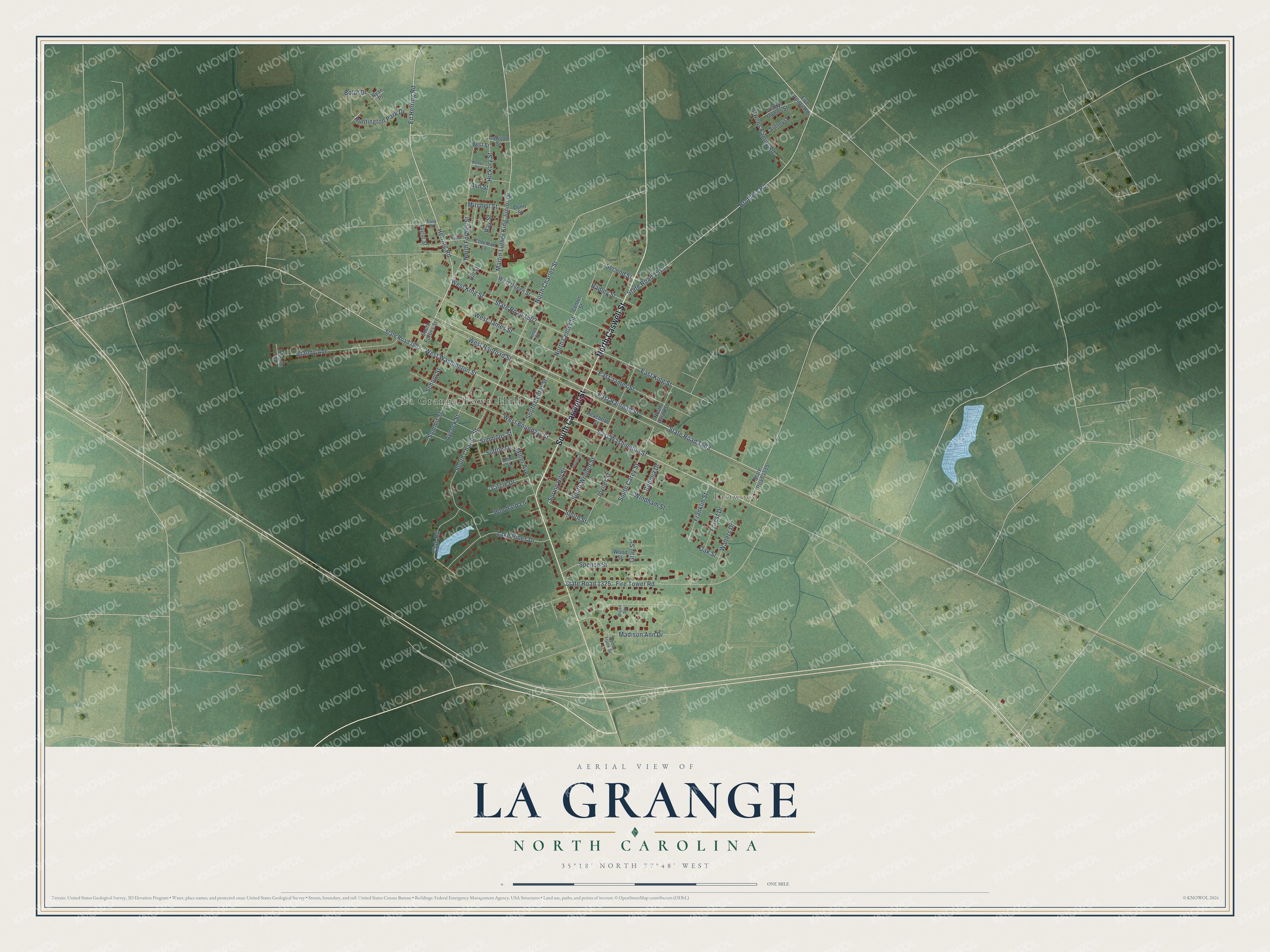
This beautifully detailed map of La Grange, North Carolina was created in 2026 using aerial imagery combined with modern topographical, census, street and landmark data. It's a modern aerial view of La Grange in Lenoir County, North Carolina, that combines modern data with a vintage aesthetic. The roads feature printed names, and if you look closely you can find your exact house accurately shown in its correct location.
Explore an aerial view of La Grange, North Carolina
On this map you'll find La Grange Town Hall, Eastwood, South Caswell Street, North Caswell Street, State Road 1503, West Railroad Street, East Railroad Street, West Washington Street, Ed Herring Road, East Washington Street, Brothers Road, South Street, and more. Each red shape is a building, so zoom in on the preview and look for yours.
Every town has a first chapter, and La Grange is no exception. The North Carolina Gazetteer puts it this way: "LaGrange town in NW Lenoir County. Known as Rantersville and Moseley Hall prior to 1869, when it was inc. as LaGrange after Lafayette's estate near Paris. Moseley Hall had been the plantation name given by Thomas Moseley of Virginia, who settled there before the Revolution. William Dunn Moseley (1795-1863), first governor of the state of Florida, was born there."
La Grange is a town in Lenoir County. The Census Bureau counted 2,595 people here in 2020.
Take a closer look at the La Grange map
Names on this map
These names are printed on this map.
Places: La Grange Town Hall and Eastwood.
Streets and roads: South Caswell Street, North Caswell Street, State Road 1503, West Railroad Street, East Railroad Street, West Washington Street, Ed Herring Road, East Washington Street, Brothers Road, South Street, Hadley Street, South Carey Street.
More street names, A to Z
Abbey Frank Street, Ann Street, Ash Street, Aycock Street, Best Street, Boldt Drive, Brandy Avenue, Bryan Square, Center Street, Circle Drive, Club Road, Coleman Lane, Dawson Street, Dunn Street, East James Street, East King Street, Easy Street, Fire Tower Road, Five Points Road, Forest Drive, Franklin Street, Gladys Owens Street, Gray Street, Herring Road, Hickory Street, Hill Street, Huntington Park Drive, Jones Street, Joyner Street, Lake Pines Drive, Leisure Street, Madison Ann Drive, Martin Luther King Junior Drive, Miller Avenue, Mitchell Street, North Carey Street, North Center Street, North Charles Street, North Forbes Street, Oak Street, Owens Family Road, Peachtree Street, Phillips Street, Ray Street, Robinia Drive, Rouse Street, Ryan Place, School Street, Second Street, Sidneys Lane, Simmons Street, South Center Street, South Charles Street, South Forbes Street, South Wooten Street, Spence Street, Spring Hill Street, State Road 1325, State Road 1502, State Road 1514, State Road 1515, State Road 1603, Summit Street, Sutton Drive, Taylor Street, Walnut Street, Walters Drive, West Boundary Street, West James Street, West King Street, West Queen Street, Windham Street, Woodard Lane, Wood Street.
Created by KNOWOL in 2026. The buildings are small red shapes, the roads carry their printed names, and shaded relief shows the shape of the land. The title panel reads "AERIAL VIEW OF LA GRANGE NORTH CAROLINA" with 35°18' NORTH 77°48' WEST.
Hang it in the hallway, the office or the cabin, or give it to someone who left La Grange and still calls it home. Open the preview and look for a street you know. See sizes and frames for the La Grange map.