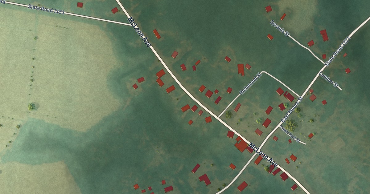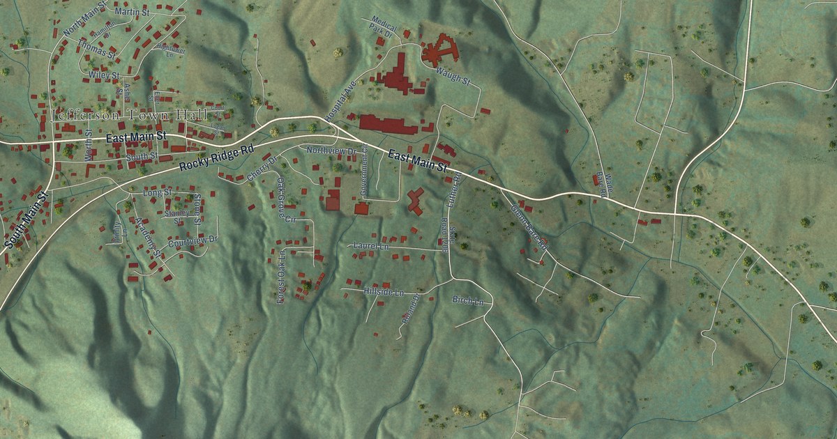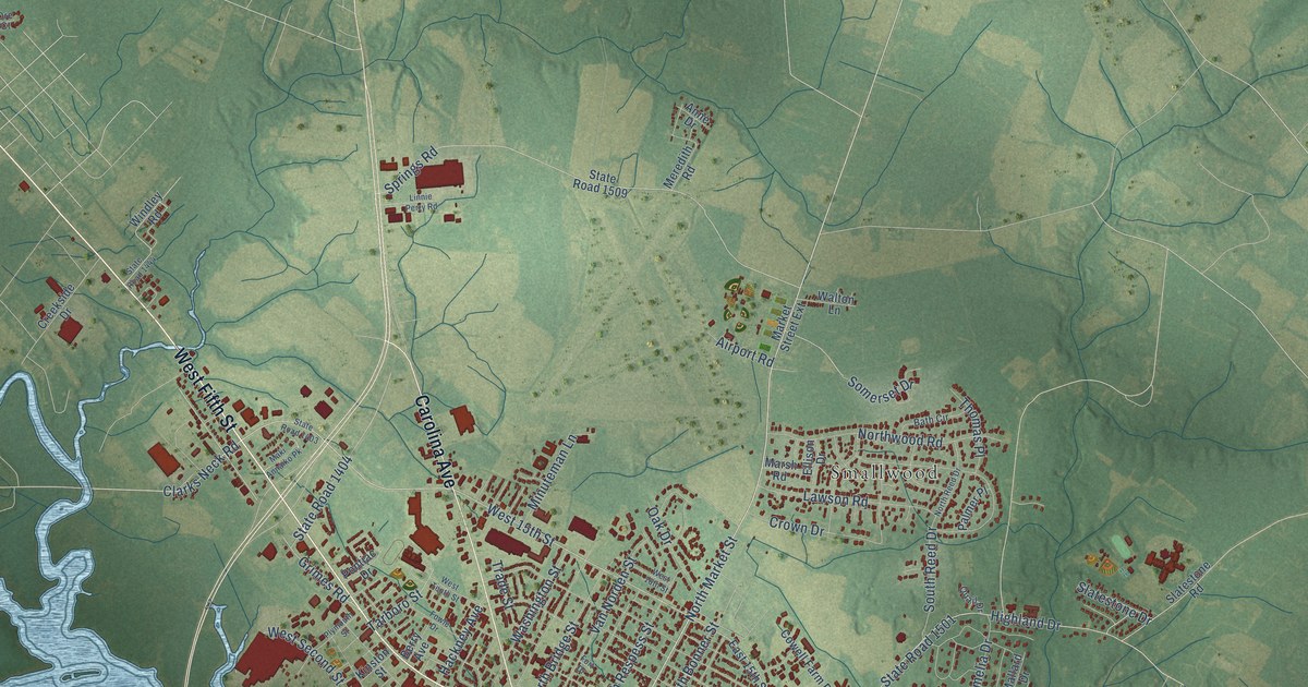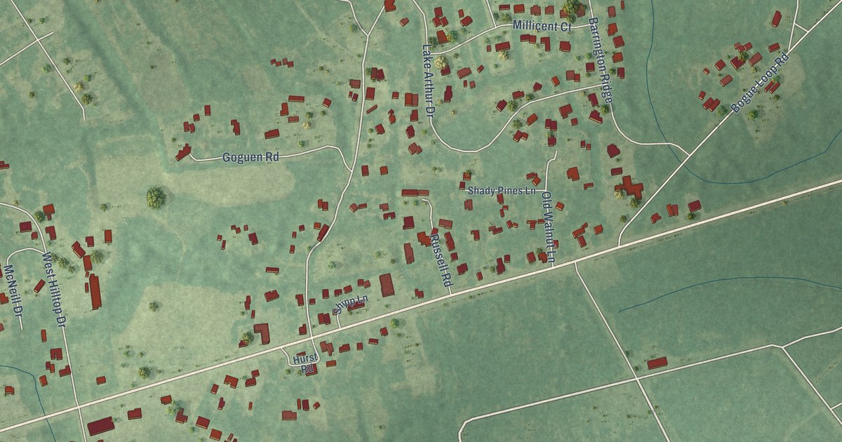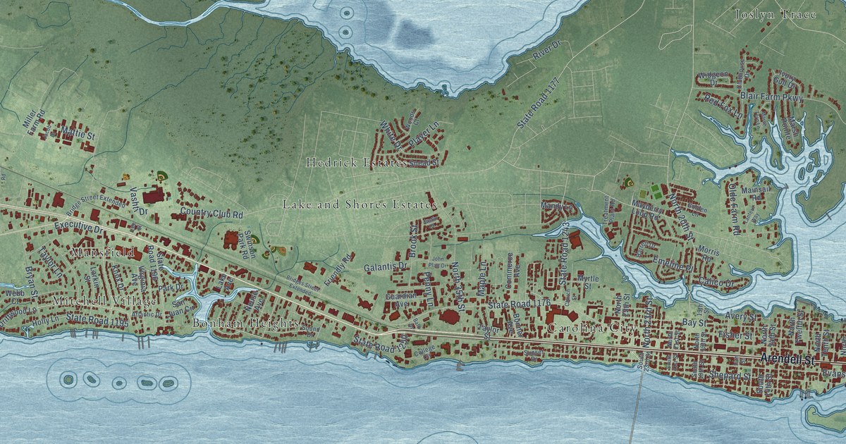
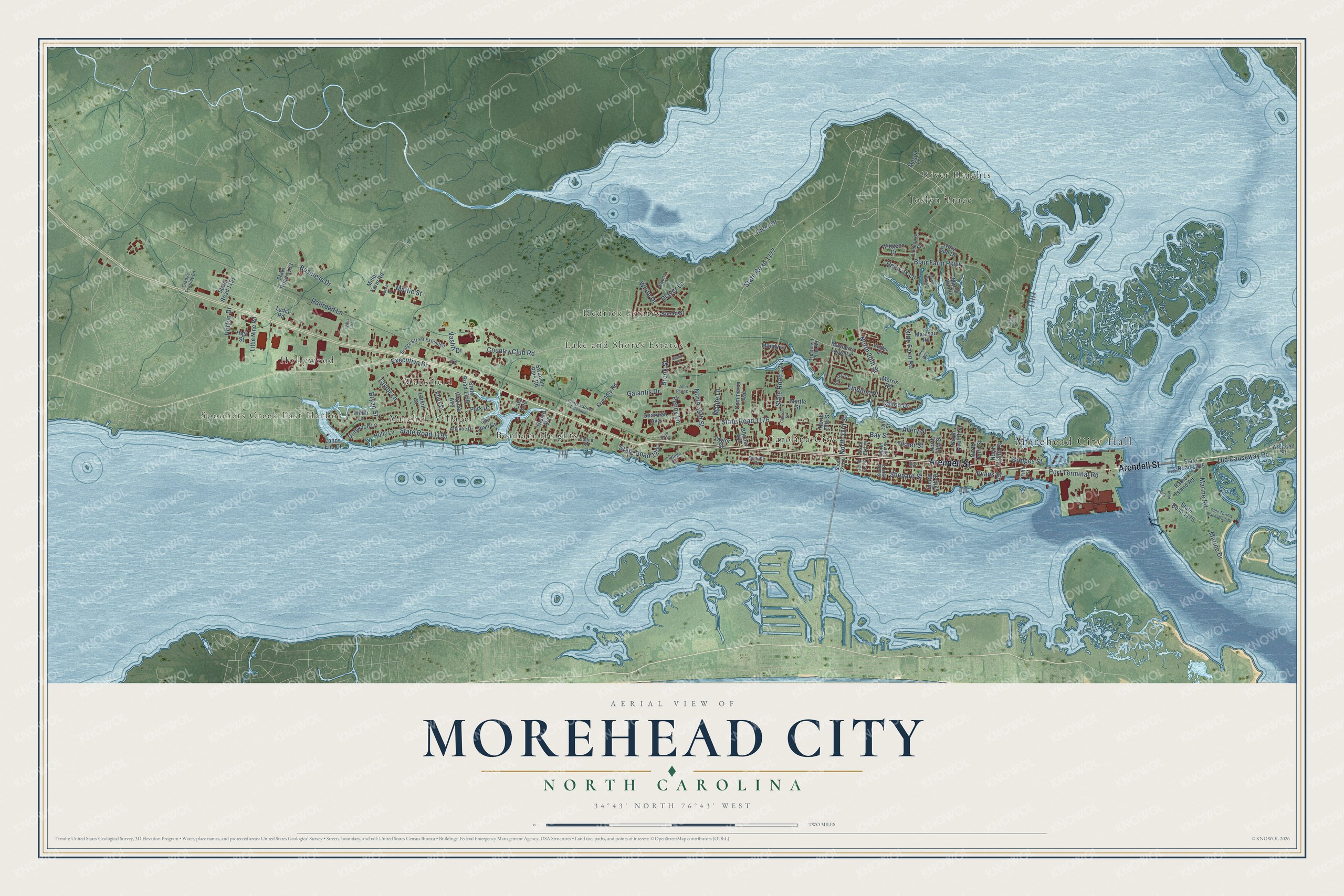
This beautifully detailed map of Morehead City, North Carolina was created in 2026 using aerial imagery combined with modern topographical, census, street and landmark data. It's a modern aerial view of Morehead City in Carteret County, North Carolina, that combines modern data with a vintage aesthetic. The roads feature printed names, and if you look closely you can find your exact house accurately shown in its correct location.
Explore an aerial view of Morehead City, North Carolina
On this map you'll find Morehead City Hall, Spooners Creek East Harbor, Bonham Heights, Carolina City, Hedrick Estates, Hollywood, Joslyn Trace, Lake and Shores Estates, Mansfield, Mitchell Village, River Heights, Arendell Street, and more. Each red shape is a building, so zoom in on the preview and look for yours.
Morehead City has a story worth telling. The record at dncr.nc.gov puts it this way: "The cornerstone from the northeast corner of the building was moved to the yard of a residence, first owned by Highsmith and later by Theodore Hall, at Camp Glenn just west of Morehead City."
Morehead City is a town in Carteret County. The Census Bureau counted 9,556 people here in 2020.
Take a closer look at the Morehead City map
Names on this map
These names are printed on this map.
Places: Morehead City Hall, Spooners Creek East Harbor, Bonham Heights, Carolina City, Hedrick Estates, Hollywood, Joslyn Trace, Lake and Shores Estates, Mansfield, Mitchell Village and River Heights.
Streets and roads: Arendell Street, State Road 1195, State Road 1176, Bridges Street, Evans Street, Country Club Road, Bay Street, State Road 1177, Fisher Street, North 20th Street, Shepard Street, North 35th Street.
More street names, A to Z
16th Street, 19th Street, Atlantic Drive, Avery Street, Bald Drive, Blair Farm Parkway, Bonner Avenue, Bridges Street Extended, Bridge Street Extended, Brook Street, Bryan Street, Business Drive, Calico Drive, Church Street, Clubhouse Drive, College Circle, Commerce Avenue, Driftwood Lane, Emeline Place, Executive Drive, Fifth Street, Friendly Road, Galantis Drive, Gladys Teasley Lane, Golden Lane, Guardian Avenue, Harrell Drive, High Street, Holly Lane, Horton Drive, Inlet Drive, Ivory Gull Drive, Jacob Drive, John Platt Drive, Justin Court, Knox Drive, Lake Avenue, Lake Pointe, Lands End Court, Lantern Way, Larkin Street, Lee Street, Little Nine Road, Lydia Road, Mainsail Road, Mandy Lane, Maple Lane, Marine Drive, Marine Road, Marsh Pointe, Marsh Tern Lane, Mason Lane, Mattie Street, Mayberry Loop Road, Miller Farm Road, Morris Road, Myrtle Street, Neuse Avenue, North 14th Street, North 19th Street, North 21st Street, North 23rd Street, North 25th Street, North Eighth Street, North Tenth Street, North Twelfth Street, Old Causeway Road, Olde Farm Road, Olde Towne Yacht Club Drive, Park Drive, Penny Lane, Player Lane, Port Terminal Road, Radio Island Road, Railroad Lane, Red Fox Lane, River Drive, San Juan Circle, Snead Street, Sound Drive, South 14th Street, South 19th Street, South 21st Street, South 23rd Street, State Road 1151, State Road 1153, State Road 1175, State Road 1196, State Road 1205, State Road 1243, State Road 1250, Sunset Drive, Swinson Park Road, Taylor Lane, Taylor Street, Treatment Plant Road, Vashti Drive, Virginia Avenue, Webb Court, White Drive, Widgeon Drive, Willis Road, Woods Court.
Created by KNOWOL in 2026. The buildings are small red shapes, the roads carry their printed names, and shaded relief shows the shape of the land. The title panel reads "AERIAL VIEW OF MOREHEAD CITY NORTH CAROLINA" with 34°43' NORTH 76°43' WEST.
It looks right in a kitchen, an office or a den, and it's a gift for anyone who grew up in Morehead City or moved away. Open the preview and find your street. See sizes and frames for the Morehead City map.