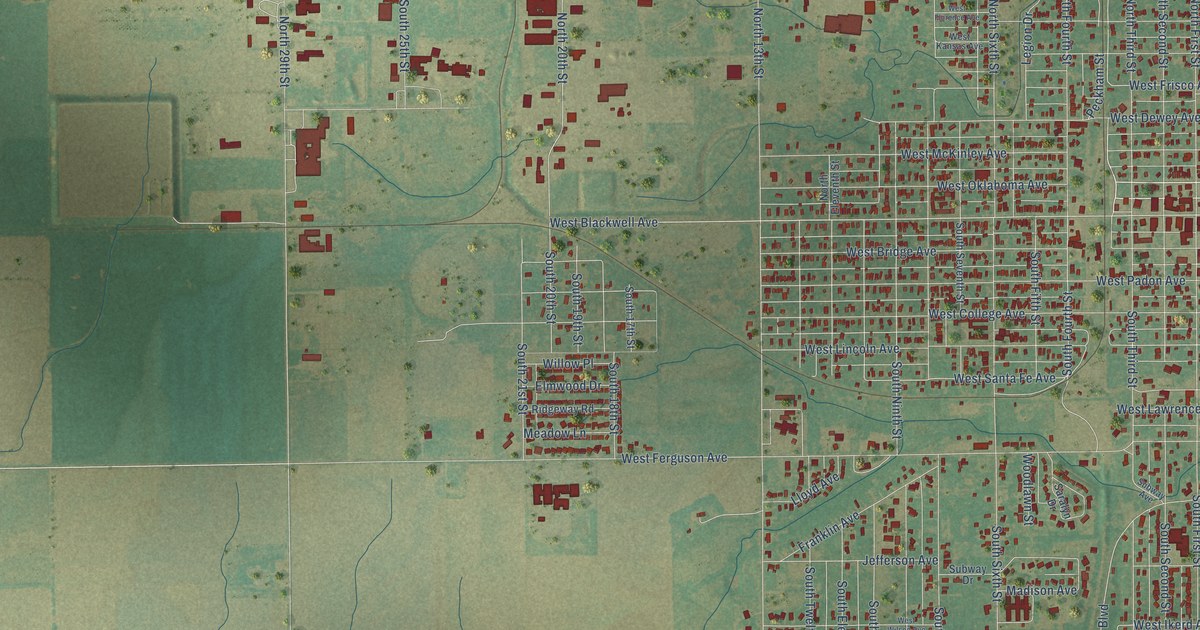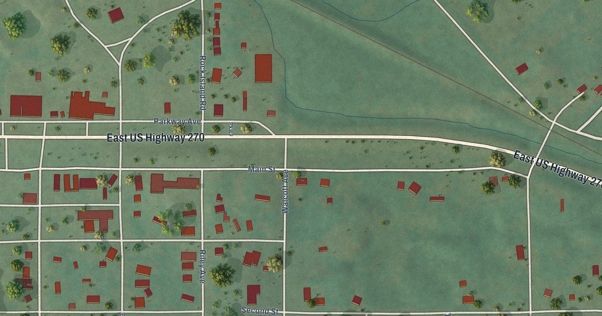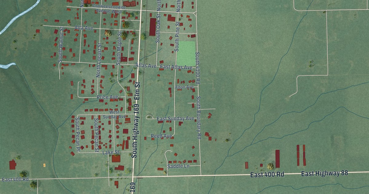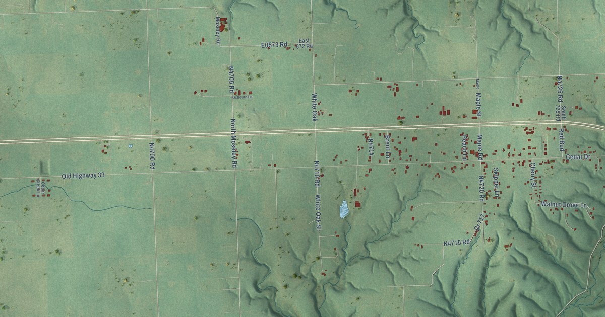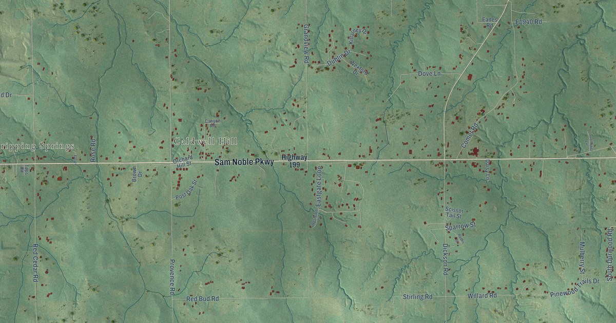
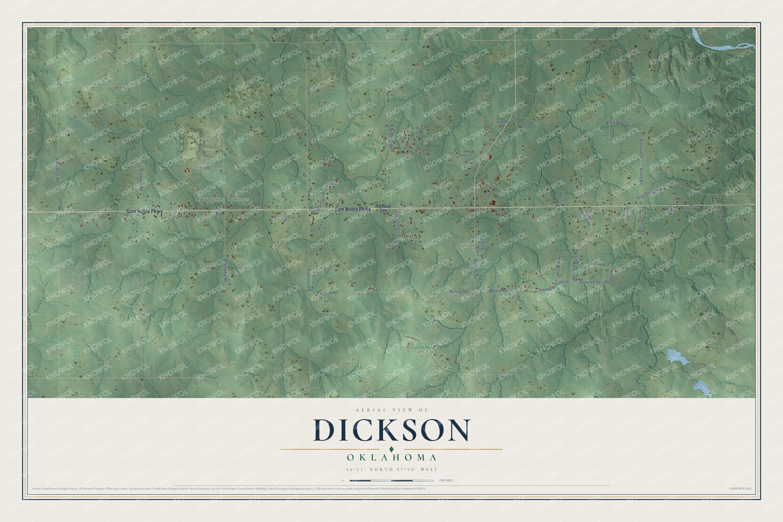
This beautifully detailed map of Dickson, Oklahoma was created in 2026 using aerial imagery combined with modern topographical, census, street and landmark data. It's a modern aerial view of Dickson in Carter County, Oklahoma, that combines modern data with a vintage aesthetic. The roads feature printed names, and if you look closely you can find your exact house accurately shown in its correct location.
Explore an aerial view of Dickson, Oklahoma
On this map you'll find Durwood, Dripping Springs, Caldwell Hill, Sam Noble Parkway, Durwood Road, Eastgate Loop, South Durwood Road, Provence Road, Dublin Drive, Old US Highway 70, Red Cedar Road, Dogwood Road, and more. Each red shape is a building, so zoom in on the preview and look for yours.
Here is a piece of Dickson history, in the words of the record. The record at okhistory.org puts it this way: "Hester Horn donated the land for the school, on the condition that she would serve as the facility's first superintendent."
Dickson is a town in Carter County.
Take a closer look at the Dickson map
Names on this map
These names are printed on this map.
Places: Durwood, Dripping Springs and Caldwell Hill.
Streets and roads: Sam Noble Parkway, Durwood Road, Eastgate Loop, South Durwood Road, Provence Road, Dublin Drive, Old US Highway 70, Red Cedar Road, Dogwood Road, Red Bud Road, Comet Road, Portland Street.
More street names, A to Z
Birch Road, Black Bird Lane, Brown Drive, Canyon Road, Cinderwood Lane, Clearview Lane, Daisy Lane, Dickson Road, Dove Lane, Eades Road, Garner Lane, Gene Autry Road, Grandview Road, Herriot Road, Highway 199, Holt, Killarney Drive, Mays Road, Mulberry Street, Murphy Road, Nelda Lane, North Durwood Road, Orchard Hill Street, Pecan Street, Pinewood Trails Drive, Post Oak Street, Robin Street, Rose Road, Scissor Tail Street, Sord Drive, Sparrow Street, Stirling Road, Sunflower Lane, Tops Road, Westgate Drive, Wexford Drive, Willard Road.
Created by KNOWOL in 2026. The buildings are small red shapes, the roads carry their printed names, and shaded relief shows the shape of the land. The title panel reads "AERIAL VIEW OF DICKSON OKLAHOMA" with 34°11' NORTH 97°00' WEST.
It suits a den, a classroom or a front hall, and it makes a gift for anyone with Dickson roots. Open the preview and find the block you know. See sizes and frames for the Dickson map.