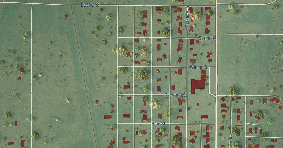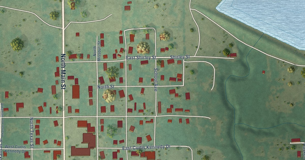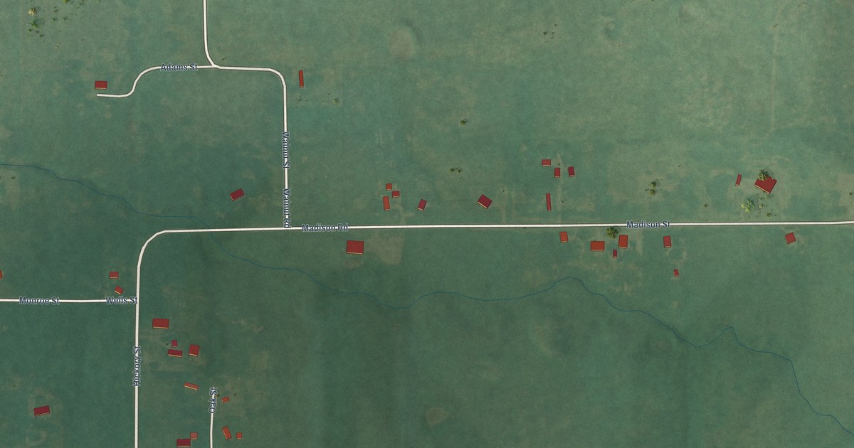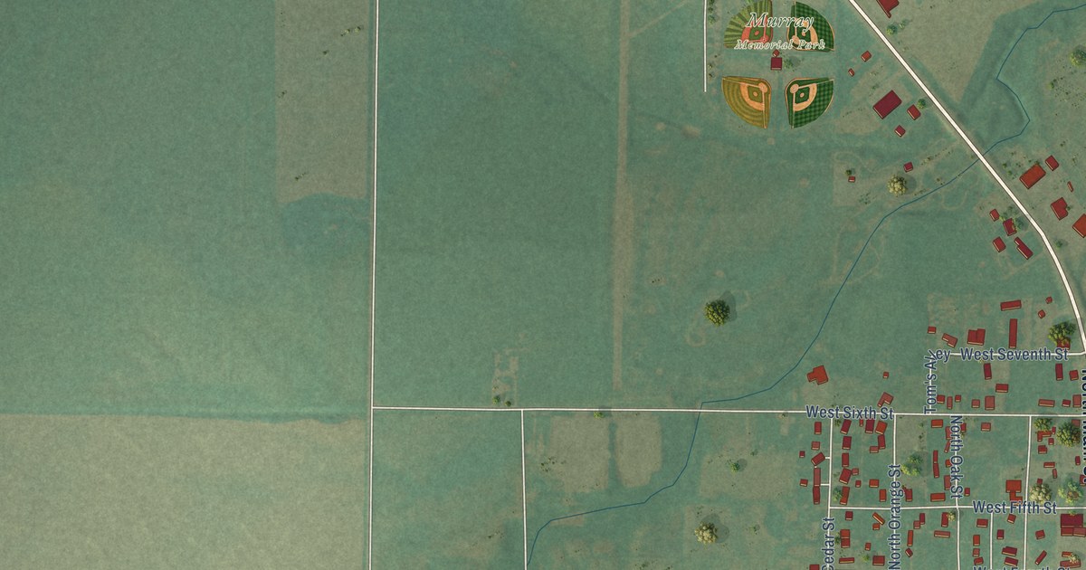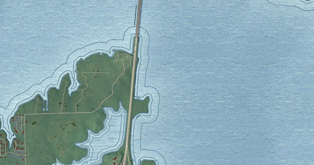
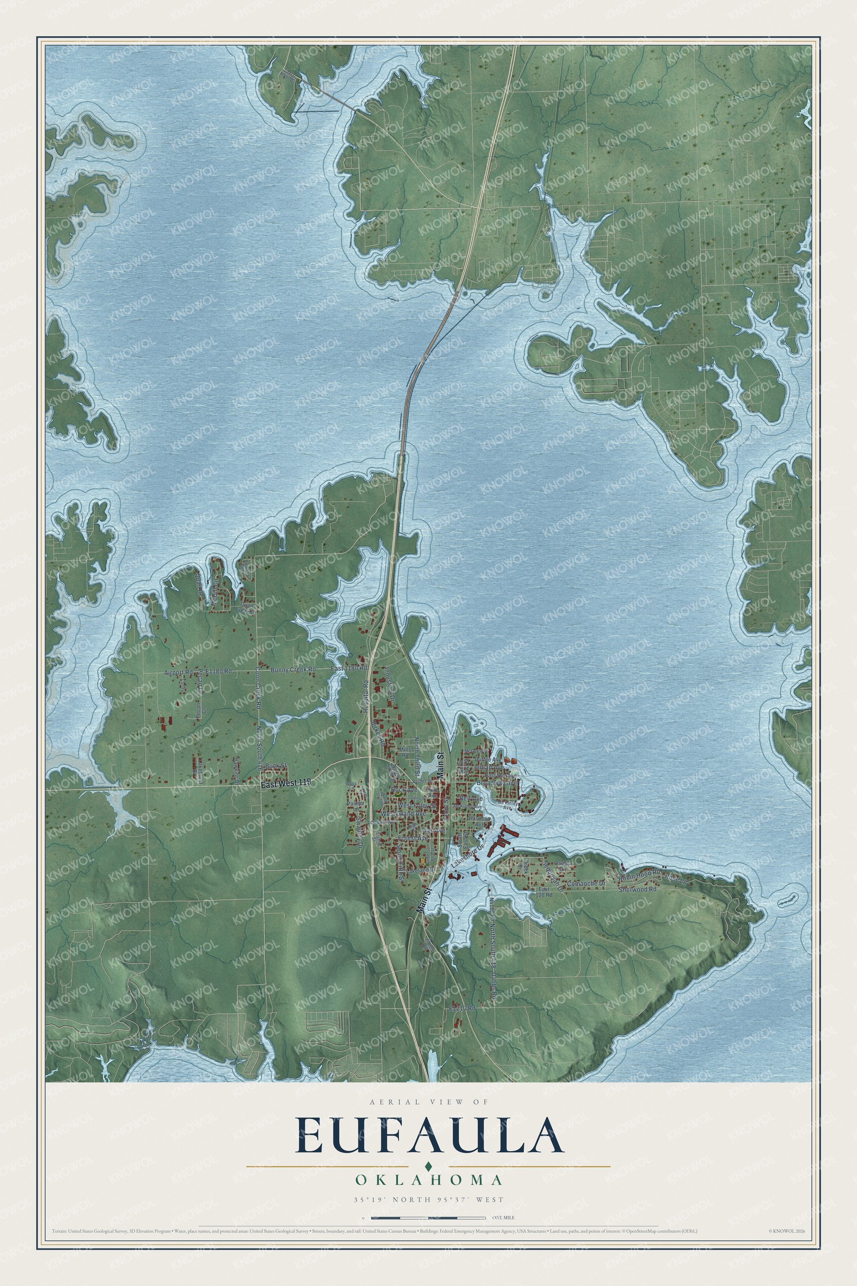
This beautifully detailed map of Eufaula, Oklahoma was created in 2026 using aerial imagery combined with modern topographical, census, street and landmark data. It's a modern aerial view of Eufaula in McIntosh County, Oklahoma, that combines modern data with a vintage aesthetic. The roads feature printed names, and if you look closely you can find your exact house accurately shown in its correct location.
Explore an aerial view of Eufaula, Oklahoma
On this map you'll find Main Street, East West 119, North South 416, Coon Creek Road, Sequoyah Drive, Oak Avenue, West Foley Street, Sherwood Road, Bunny Creek Road, East 1180 Road, North South 418, Robin Hood Road, and more. Each red shape is a building, so zoom in on the preview and look for yours.
Every town has a first chapter, and Eufaula is no exception. The record at okhistory.org puts it this way: "On June 1, 1876, M. P. Roberts printed the first issue of the newspaper in Muskogee, with William P. Ross as editor."
Eufaula is a city in McIntosh County.
Take a closer look at the Eufaula map
Names on this map
These names are printed on this map.
Streets and roads: Main Street, East West 119, North South 416, Coon Creek Road, Sequoyah Drive, Oak Avenue, West Foley Street, Sherwood Road, Bunny Creek Road, East 1180 Road, North South 418, Robin Hood Road.
More street names, A to Z
Airport Road, Anderson Bell Street, Belt Avenue, Birkes Road, Border Street, Broadway Avenue, Buck Street, Comanche Drive, Coon Creek Drive, Corley, Creek Drive, Dabbs Road, Doss Lane, Duffee Avenue, East 120 Road, East Elm Avenue, Eighth Street, Forest Avenue, Front Street, George Moore Circle, Golding Street, Harrison Avenue, Hawkins Drive, High Street, Hospital Road, Indian Avenue, Industrial Drive, Jones Road, Lackey Drive, Lakehurst Drive, Lakeland Drive, Lakeshore Drive, Locust Avenue, McGee Avenue, McGill Circle, McKinley Avenue, Mc Kinley Avenue, Mills Road, North East Street, North Seventh, North Sixth Street, North Third Street, Osage Drive, Palmer Lane, Pecan Court, Pecan Lane, Pine Avenue, Quail Drive, Rainbow Bend, Rock Avenue, Rose Lane, South East Street, South Fifth Street, Swadley Drive, West Grand Avenue.
Created by KNOWOL in 2026. The buildings are small red shapes, the roads carry their printed names, and shaded relief shows the shape of the land. The title panel reads "AERIAL VIEW OF EUFAULA OKLAHOMA" with 35°19' NORTH 95°37' WEST.
Hang it in the hallway, the office or the cabin, or give it to someone who left Eufaula and still calls it home. Open the preview and look for a street you know. See sizes and frames for the Eufaula map.