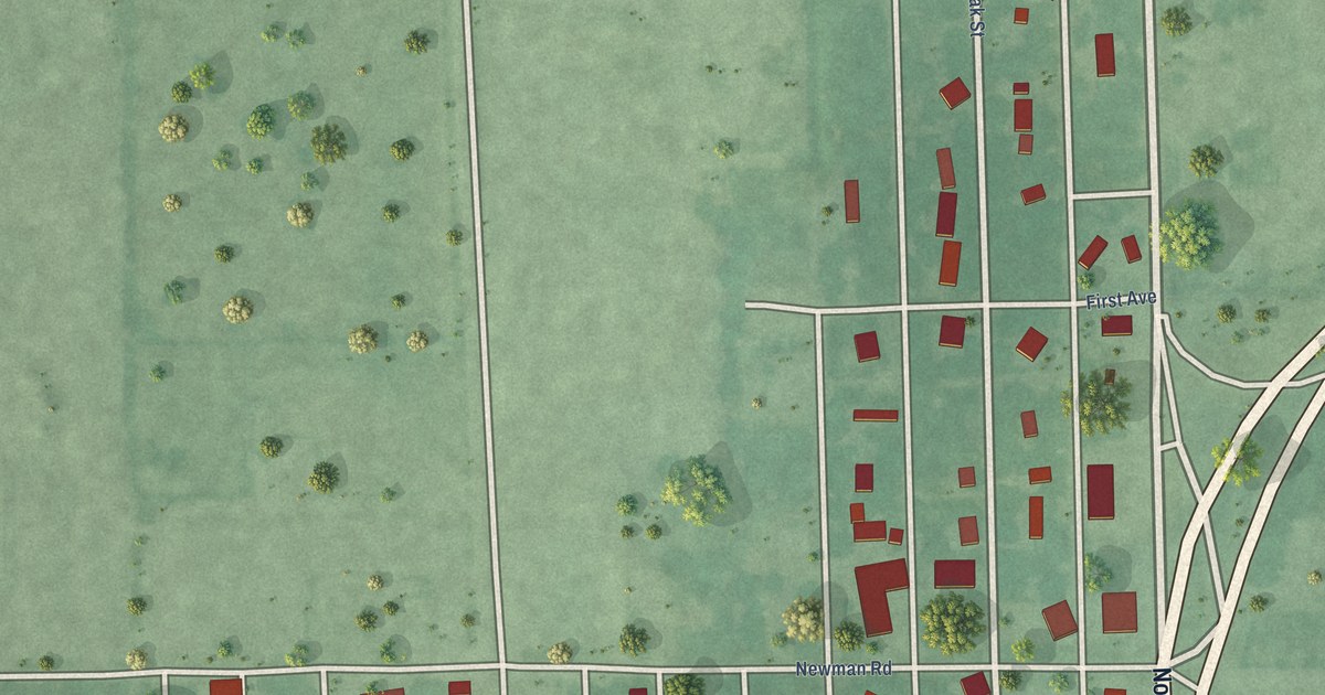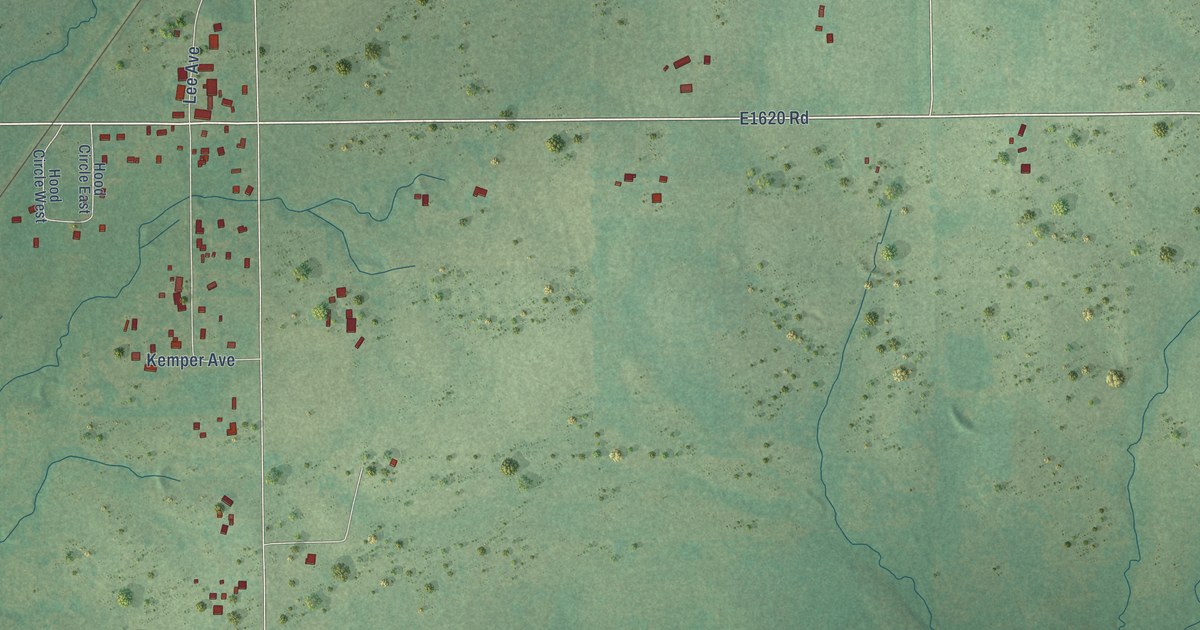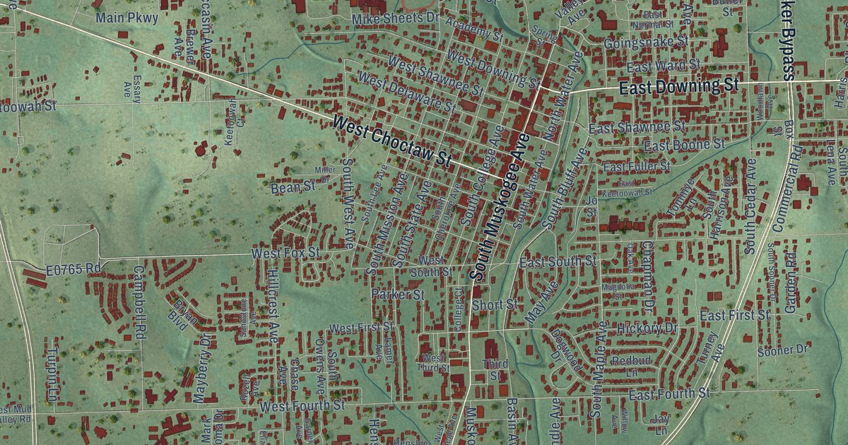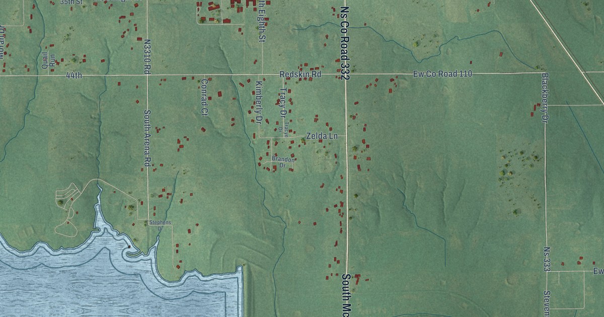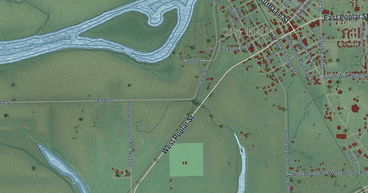
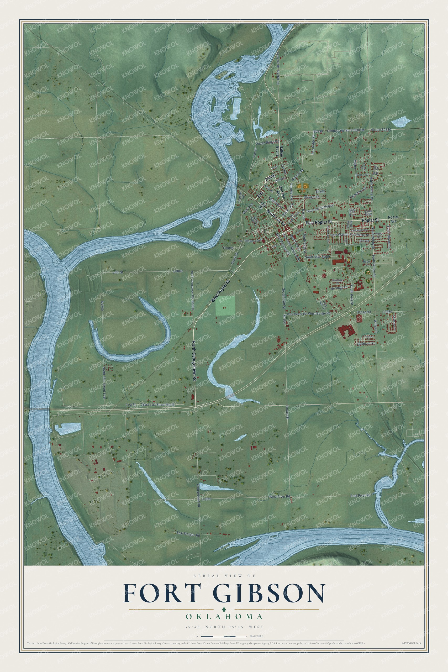
This beautifully detailed map of Fort Gibson, Oklahoma was created in 2026 using aerial imagery combined with modern topographical, census, street and landmark data. It's a modern aerial view of Fort Gibson in Muskogee County, Oklahoma, that combines modern data with a vintage aesthetic. The roads feature printed names, and if you look closely you can find your exact house accurately shown in its correct location.
Explore an aerial view of Fort Gibson, Oklahoma
On this map you'll find City Hall, West Poplar Street, Irving, North Georgetown Road, North Lee Street, Elm, East Poplar Street, Poplar Street, Lee Street, County Line Road, South Lee Street, Pea Ridge Road, and more. Each red shape is a building, so zoom in on the preview and look for yours.
Fort Gibson has a story worth telling. The record at okhistory.org puts it this way: "In 1872 the Tenth Cavalry reoccupied the fort to keep law and order in nearby railroad camps for workers engaged in building the Missouri, Kansas and Texas Railway from Kansas to the Red River."
Fort Gibson is a town in Muskogee County.
Take a closer look at the Fort Gibson map
Names on this map
These names are printed on this map.
Places: City Hall and National Cemetery.
Streets and roads: West Poplar Street, Irving, North Georgetown Road, North Lee Street, Elm, East Poplar Street, Poplar Street, Lee Street, County Line Road, South Lee Street, Pea Ridge Road, Battery Road.
More street names, A to Z
21st Street, 54th Street, Armory, Barron Road, Beauregard, Benge Road, Black Jack, Bowden Road, Capitol Street, Carman Road, Cavalry, Cedar Ridge, Cemetery Road, County, Coventry Lane, East 21st Street North, East Hickory Avenue, East Maple, East Maple Avenue, East Morgan Road, East River Road, East Street, East Walnut, East Walnut Street, Garrison Avenue, Georgetown Road, Hazen, Heritage Court, Heritage Drive, Hickory Avenue, Irene Lane, Johnson, Line, Lone Oak Circle, Maher, Maple, Nathan Boone, North 55th Street East, North Meigs, North Scott Street, North Willey Road, Oakmont Road, Ozark Street, Pecan Ridge Road, Pierce, Pinehurst Court, Poplar Avenue, Revelle Avenue, Robin Lane, Scotch Street, Shady, South, South 360 Road, South Avenue, Southeast Railroad Street, South East Street, South Gladd Road, South Meigs, South Nash Avenue, South Ross Street, South Scott Street, South Willey Road, South Willey Street, Sterling Hill Drive, Straight Street, West Bence Road, West Benge Road, West Elm, West Railroad Street, West River Road, Willey Street.
Created by KNOWOL in 2026. The buildings are small red shapes, the roads carry their printed names, and shaded relief shows the shape of the land. The title panel reads "AERIAL VIEW OF FORT GIBSON OKLAHOMA" with 35°48' NORTH 95°15' WEST.
It looks right in a kitchen, an office or a den, and it's a gift for anyone who grew up in Fort Gibson or moved away. Open the preview and find your street. See sizes and frames for the Fort Gibson map.