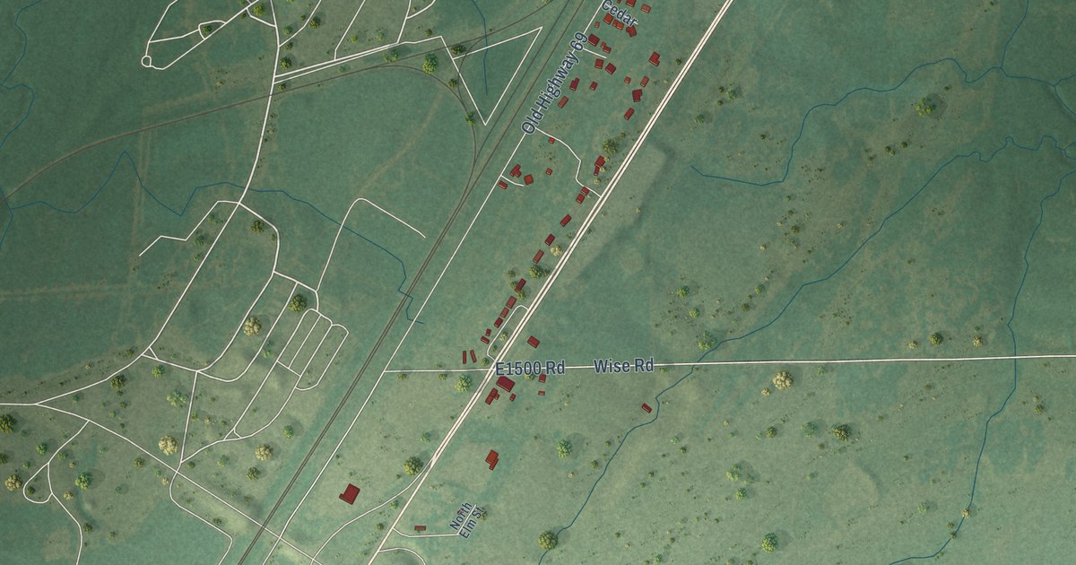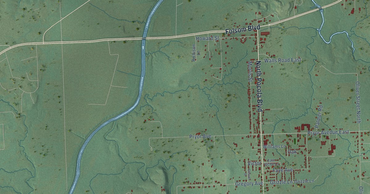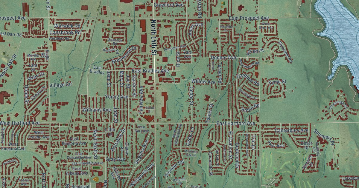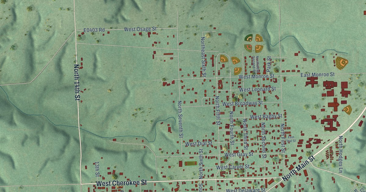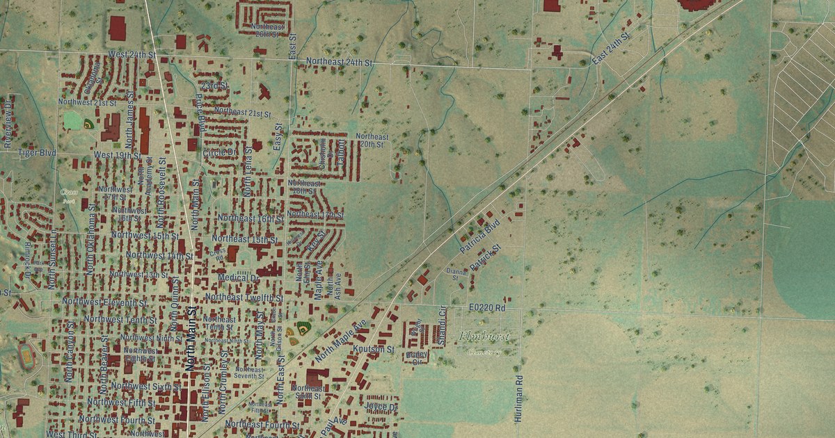
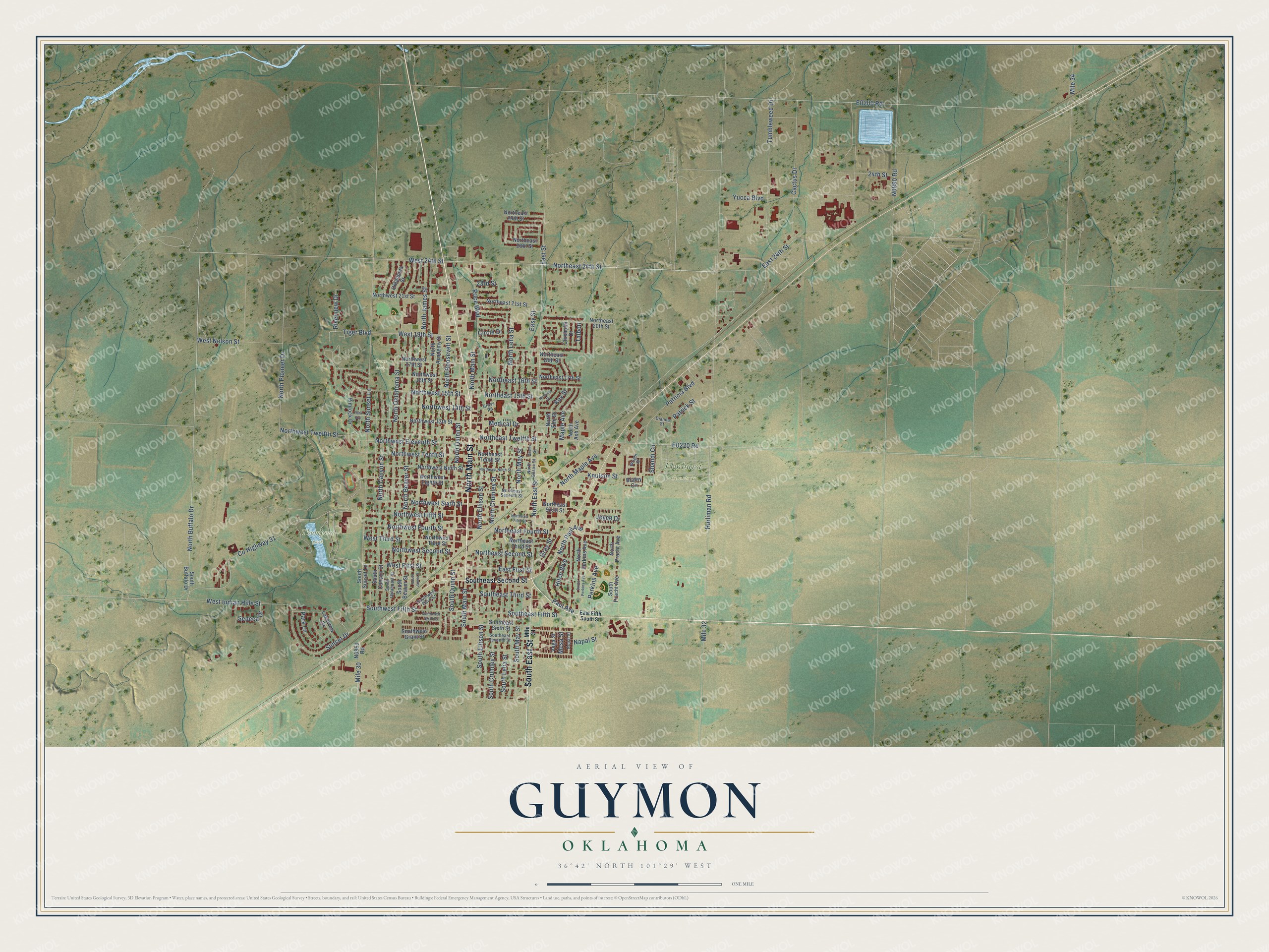
This beautifully detailed map of Guymon, Oklahoma was created in 2026 using aerial imagery combined with modern topographical, census, street and landmark data. It's a modern aerial view of Guymon in Texas County, Oklahoma, that combines modern data with a vintage aesthetic. The roads feature printed names, and if you look closely you can find your exact house accurately shown in its correct location.
Explore an aerial view of Guymon, Oklahoma
On this map you'll find Cross Park, Elmhurst Cemetery, Thompson park, North Main Street, South East Street, North East Street, Northeast 24th Street, East 24th Street, West 24th Street, East First Street, North Buffalo Drive, West First Street, and more. Each red shape is a building, so zoom in on the preview and look for yours.
Guymon has a story worth telling. The record at okhistory.org puts it this way: "Most of the businesses from nearby Hardesty relocated to the new railroad town, including Richard B. Quinn and his Hardesty Herald , which became the Guymon Herald ."
Guymon is a city in Texas County.
Take a closer look at the Guymon map
Names on this map
These names are printed on this map.
Places: Cross Park, Elmhurst Cemetery and Thompson Park.
Streets and roads: North Main Street, South East Street, North East Street, Northeast 24th Street, East 24th Street, West 24th Street, East First Street, North Buffalo Drive, West First Street, Southwest Fifth Street, Southeast Fifth Street, County Highway 31.
More street names, A to Z
23rd Street, 24th Street, Braley Circle, Cactus Drive, Chisholm Drive, Circle Drive, Cross Road, Dianna Street, East Fifth South Street, East Street, Easy Street, Gilson Street, Gray Street, Hillcrest Drive, Hitch Boulevard, Hurliman Road, Joyce Drive, Key Street, Knutson Street, Lakeview Drive, Maple Avenue, Medical Drive, Mesa Street, Mile 30, Mile 31, Mile 32, Mile 34, Napal Street, Nopal Street, North Academy Street, North Ash Avenue, North Beaver Street, North Canyon Street, North Crumley Street, Northeast 15th Street, Northeast 16th Street, Northeast 17th Street, Northeast 18th Street, Northeast 20th Street, Northeast 21st Street, Northeast 26th Street, Northeast 29th Street, Northeast Fifth Street, Northeast Fourth Street, Northeast Ninth Street, Northeast Second Street, Northeast Seventh Street, Northeast Sixth Street, Northeast Tenth Street, Northeast Third Street, Northeast Twelfth Street, North Ellison Street, North Elm Street, North Gilson Street, North James Street, North Lelia Street, North Maple Avenue, North May Street, North Oklahoma Street, North Paul Avenue, North Perkins Avenue, North Pioneer Drive, North Pracht Avenue, North Quinn Street, North Roosevelt Street, North Sunset Lane, Northwest 13th Street, Northwest 14th Street, Northwest 15th Street, Northwest 16th Street, Northwest 17th Street, Northwest 21st Street, Northwest Eighth Street, Northwest Eleventh Street, Northwest Fifth Street, Northwest Fourth Street, Northwest Ninth Street, Northwest Second Street, Northwest Sixth Street, Northwest Tenth Street, Northwest Third Street, Northwest Twelfth Street, Oklahoma Street, Park Avenue, Park Lane, Patricia Boulevard, Patrick Street, Paul Avenue, Perkins Avenue, Price Boulevard, Rimrock Drive, Riverview Drive, Seneca Drive, Shandi Circle, South Beaver Street, South Buffalo Drive, South Canyon Street, South Crumley Street, Southeast Second Street, Southeast Seventh Street, Southeast Sixth Street, Southeast Third Street, South Ellison Street, South James Street, South Lelia Street, South Main Street, South May Street, South Oklahoma Street, South Perkins Avenue, South Pracht Avenue, South Quinn Street, South Sunset Lane, Southwest Grant Street, Southwest Sixth Street, Southwest Third Street, Sunset Drive, Talbott, Tiger Boulevard, Tumbleweed Drive, Vega Street, West 19th Street, West Indian Hills Street, West Nelson Street, West Third Street, Wright Street, Yucca Boulevard.
Created by KNOWOL in 2026. The buildings are small red shapes, the roads carry their printed names, and shaded relief shows the shape of the land. The title panel reads "AERIAL VIEW OF GUYMON OKLAHOMA" with 36°42' NORTH 101°29' WEST.
It looks right in a kitchen, an office or a den, and it's a gift for anyone who grew up in Guymon or moved away. Open the preview and find your street. See sizes and frames for the Guymon map.