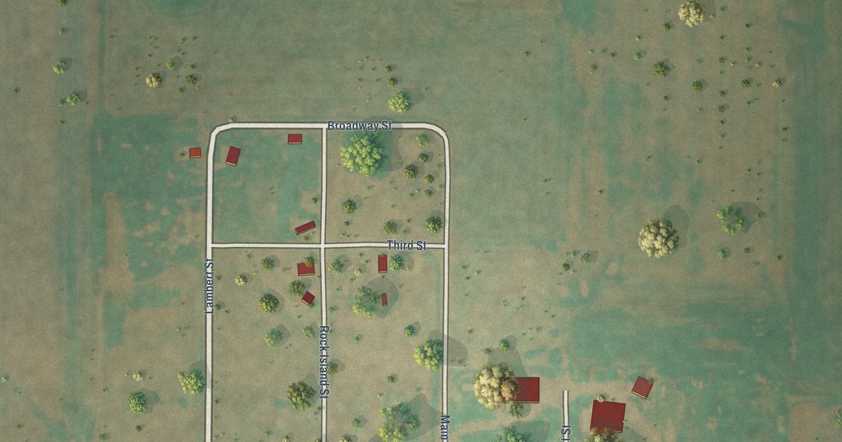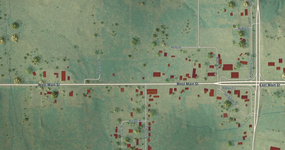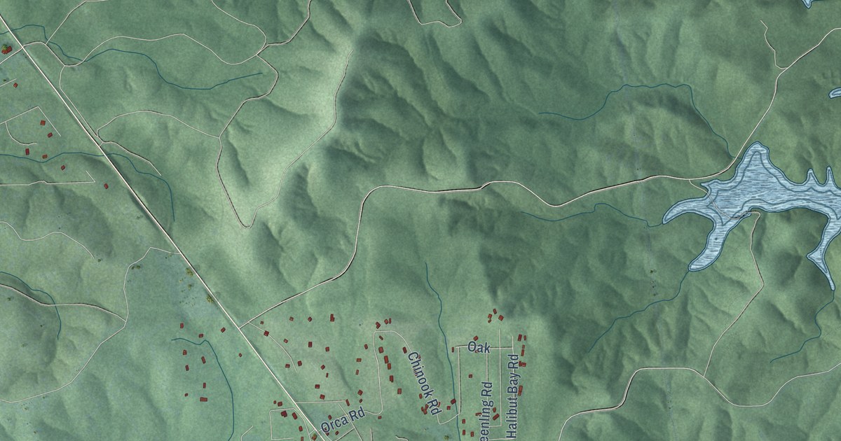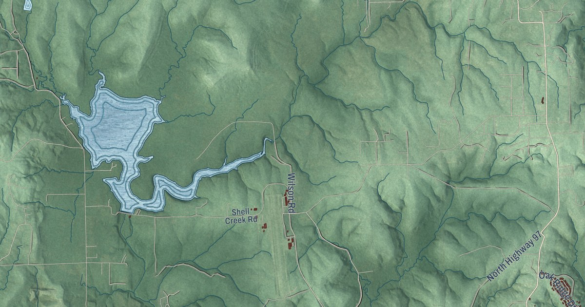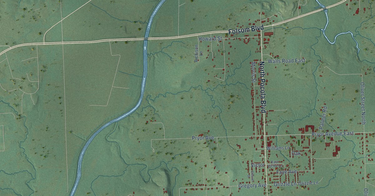
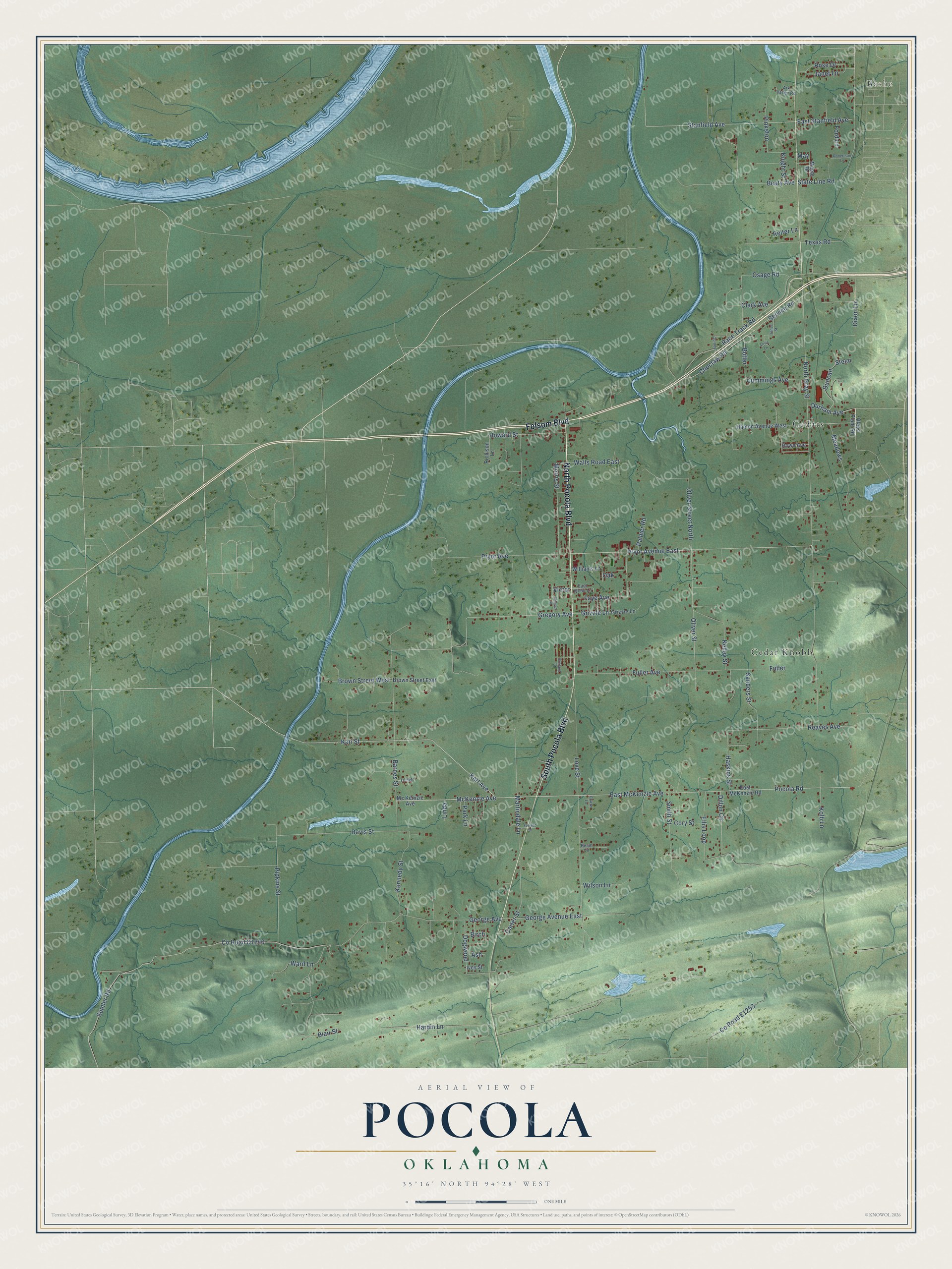
This beautifully detailed map of Pocola, Oklahoma was created in 2026 using aerial imagery combined with modern topographical, census, street and landmark data. It's a modern aerial view of Pocola in Le Flore County, Oklahoma, that combines modern data with a vintage aesthetic. The roads feature printed names, and if you look closely you can find your exact house accurately shown in its correct location.
Explore an aerial view of Pocola, Oklahoma
On this map you'll find Bashe, Cedar Knobb, Cedars, South Pocola Boulevard, North Pocola Boulevard, Folsom Boulevard, Pocola Road, Karl Street, Karl Avenue, Gregory Avenue, Oliver Street, Oliver Street North, and more. Each red shape is a building, so zoom in on the preview and look for yours.
Here is a piece of Pocola history, in the words of the record. The record at okhistory.org puts it this way: "In 1911 C. G. Black owned the only store, and the nearest railroad depot lay nearly four miles away at Bonanza, Arkansas."
Pocola is a town in Le Flore County.
Take a closer look at the Pocola map
Names on this map
These names are printed on this map.
Places: Bashe, Cedar Knobb and Cedars.
Streets and roads: South Pocola Boulevard, North Pocola Boulevard, Folsom Boulevard, Pocola Road, Karl Street, Karl Avenue, Gregory Avenue, Oliver Street, Oliver Street North, Race Track Road, East McKenzie Avenue, Dixon Lane.
More street names, A to Z
Ark Valley Road, Ash, Barnes Street, Beam Lane, Beaty Avenue, Birch, Blair Street, Brittany Street, Brown Street East, Brown Street West, Butler, Carter Street, Choctaw Road, Clark Avenue, Cleaver Street, Cory Street, Cowan Lane, Cummings Avenue, Davis Street, Dillon Circle, Dogwood, Duncan, Durham Avenue, East McKenzie Road, East Stanfield Avenue, East Victor Lane, Ellis Loop, Faye Avenue, Ford Lane, Forrest Street, Fuller, Fuller Avenue, George Avenue, George Avenue East, Glass Plant Road, Gordon, Grizzie Lane, Grizzle Lane, Hamon Avenue West, Hardin Lane, Haskins Street, Howard Street, Ivey Street, Janet Lane, Jones Street, Kelley Street, Kennedy Street, Knight Street, Kolb Lane, Linda, Lorie Lane, Love Street, Maple Drive, Martindale Lane, May, Mc Kenizie Avenue, McKenzie Avenue, Meadows, Morris Street, North Gray Street, Oak, Osage Road, Palmer Road, Park Lane, Pinkston, Pipkins Street, Pryor Avenue, Pryor Avenue East, Reaves Avenue, Reiter Lane, Richison Lane, Robertson Lane, Rose Drive, Rowe Avenue, Sanders Street, Service Road, Smith Street, Stanfield Avenue, State Line Road, Steen, Sumler Road, Texas Road, Tucker, Victor, Walls Road East, Ward Lane, Williams Lane, Wilson Lane.
Created by KNOWOL in 2026. The buildings are small red shapes, the roads carry their printed names, and shaded relief shows the shape of the land. The title panel reads "AERIAL VIEW OF POCOLA OKLAHOMA" with 35°16' NORTH 94°28' WEST.
It suits a den, a classroom or a front hall, and it makes a gift for anyone with Pocola roots. Open the preview and find the block you know. See sizes and frames for the Pocola map.