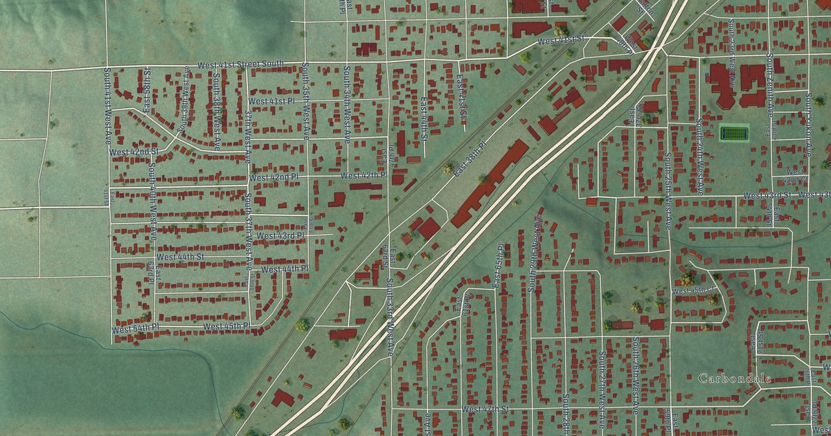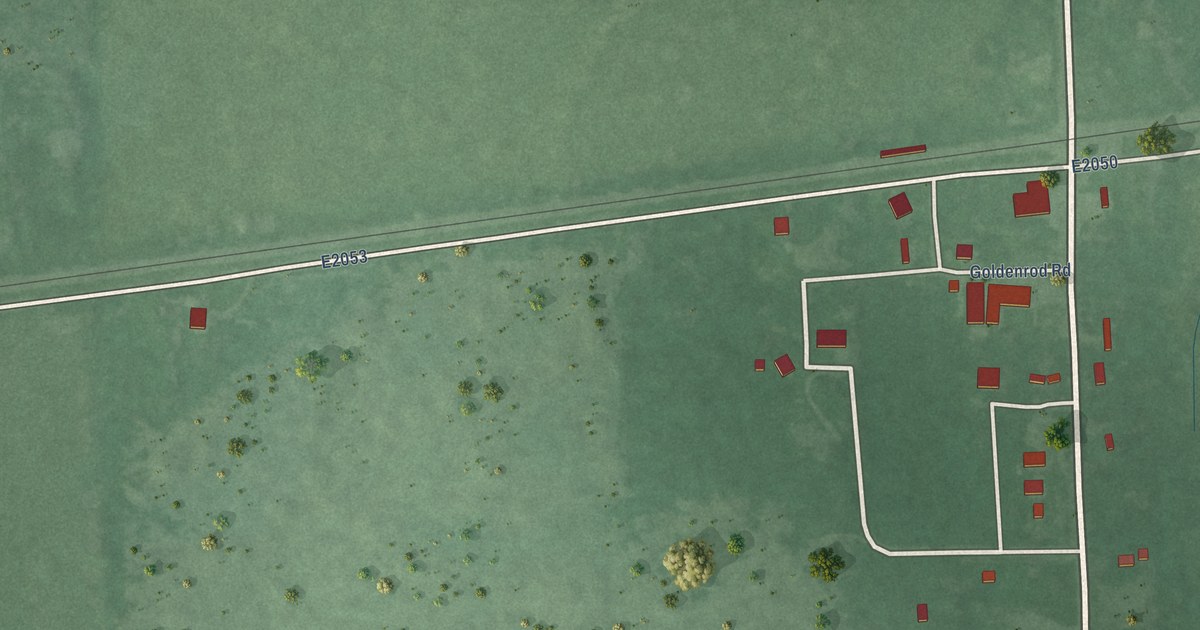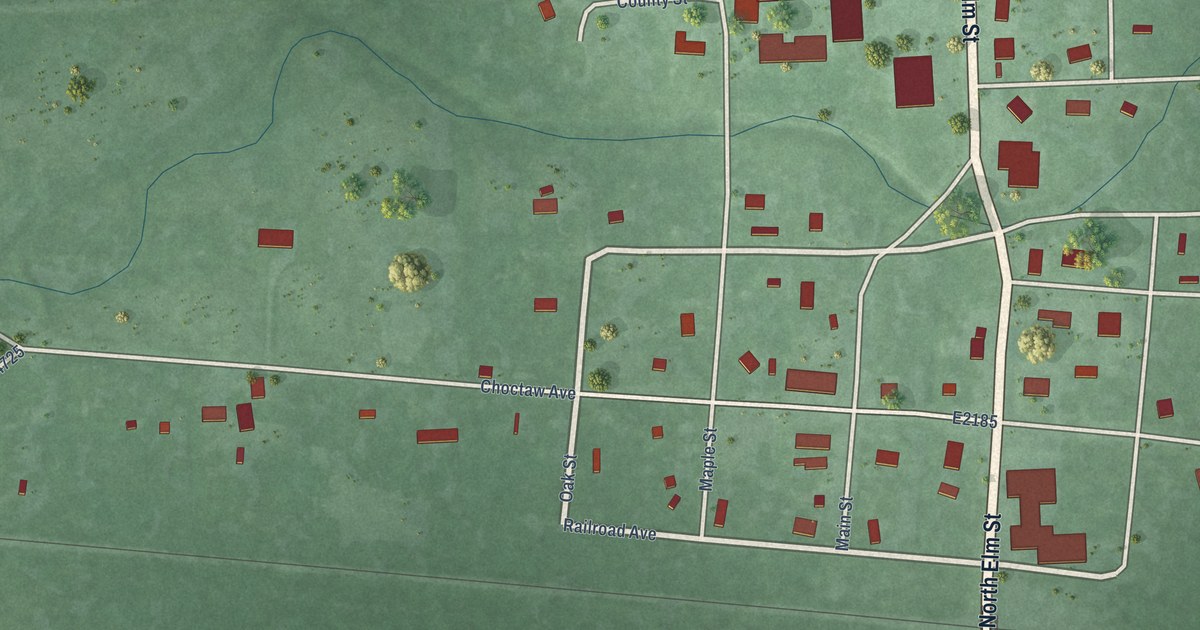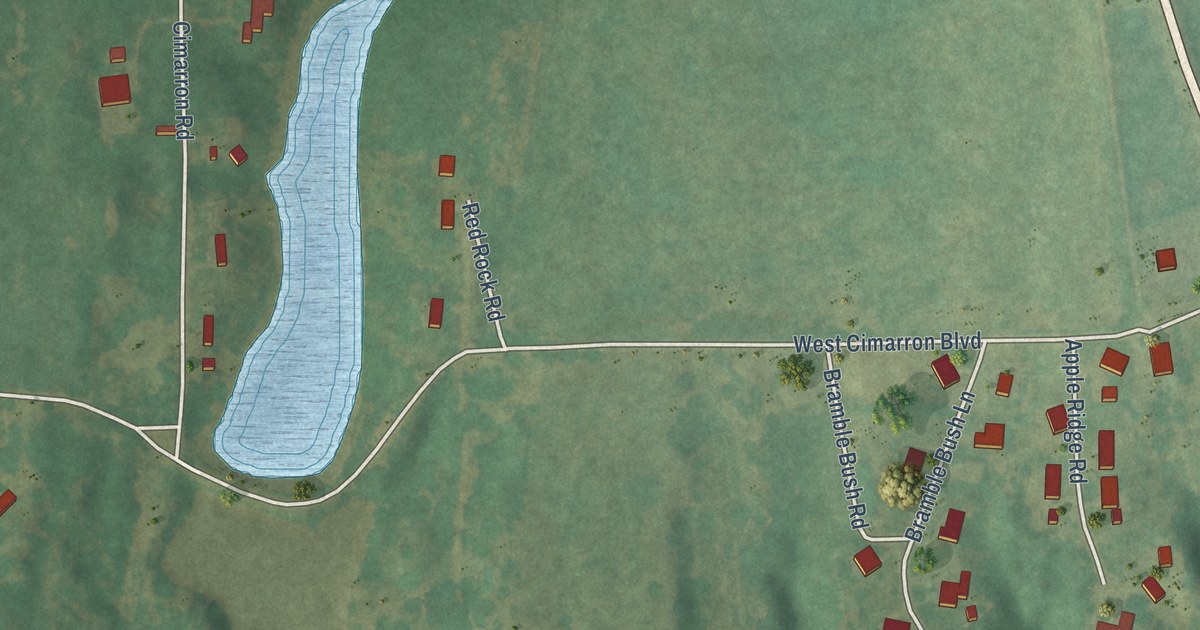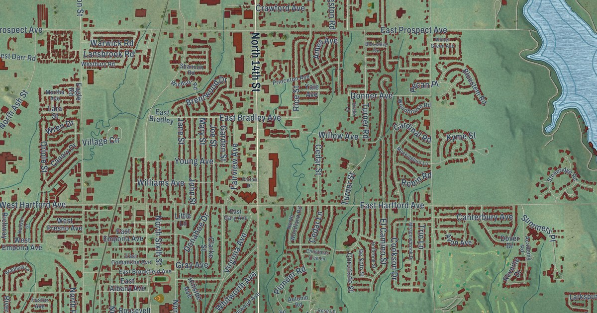
This beautifully detailed map of Ponca City, Oklahoma was created in 2026 using aerial imagery combined with modern topographical, census, street and landmark data. It’s a one-of-a-kind view of Ponca City that combines accurate data with a vintage aesthetic. The map shows every building in its true location, many of the roads carry their names, and the shaded topographic relief shows the shape of the land.
Explore an aerial view of Ponca City, Oklahoma
On the map you’ll find City Hall and City of Ponca City, along with North 14th Street, South 14th Street, East South Avenue, West South Avenue, 14th Street, East Coleman Road, East Harding Road, West Grand Avenue, South First Street, North Flormable Street, West Highland Avenue, and more. If you look closely you can even find your house accurately drawn in its correct location. Zoom in on the preview to look for yours.
Did you know this piece of Ponca City, Oklahoma history?
From Okhistory.org: "Located in southeastern Kay County and situated at the junction of U.S. Highways 77 and 177, Ponca City was founded on September 16, 1893, during the Cherokee Outlet Opening."
Ponca City is a city in Kay County.
Take a closer look at the Ponca City map
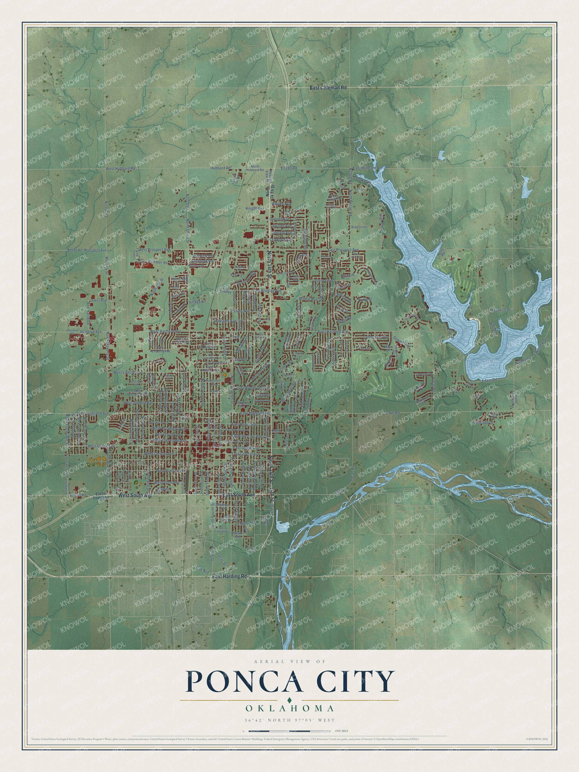
Street and place names on the Ponca City, Oklahoma map
These names are printed on the map of Ponca City, Oklahoma.
Places: West Darr Park.
Streets and roads: North 14th Street, South 14th Street, East South Avenue, West South Avenue, 14th Street, East Coleman Road, East Harding Road, West Grand Avenue, South First Street, North Flormable Street, West Highland Avenue, East Highland Avenue.
More street names, A to Z
Academy Road, Ames Avenue, Ash Street, Autumn Road, Avon Avenue, Bellflower Avenue, Ben Hall Boulevard, Berkshire Drive, Bluestem Road, Bradbary Lane, Brentwood Drive, Briar Ridge Road, Brunswick Avenue, Burr Oak Drive, Canary Drive, Canterbury Avenue, Cardinal Road, Cascade Drive, Cedar Lane, Cedar Street, Chapel Hill Road, Christmas Tree Lane, Clarke Street, Cleary Drive, Cookson Drive, Cooley Avenue, Coronado Street, Crawford Avenue, Dalewood Lane, Dean Avenue, De Soto Street, Donahoe Drive, Donald Avenue, Donner Avenue, Dover Drive, Drake Lane, Eagle Road, East Albany Avenue, East Alma Avenue, East Bradley, East Bradley Avenue, East Broadway Avenue, East Brookfield Avenue, East Central Avenue, East Chestnut Avenue, East Cleveland Avenue, East Comanche Avenue, East Emporia Avenue, East England Avenue, East Gary Avenue, East Grand Avenue, East Hartford Avenue, East Hazel Avenue, East Hubbard Road, East Lake Drive, East Overbrook Avenue, East Prospect Avenue, Edam Road, Edgewood Drive, Edwards Avenue, El Camino Street, Elmwood Avenue, Erie Avenue, Fairview Avenue, Fawn Lane, Fieldstone, Flormable Avenue, Forest Road, Foster Avenue, Fourth Street, Garden Street, Gray Avenue, Greenwood Avenue, Hampton Drive, Hartford Avenue, High Point, Hillcrest Drive, Hillside Avenue, Holbrook Street, Hubbard Road, Hudson Drive, Industrial Road, Jane Street, Joe Street, John Street, Kingston Road, Knight Avenue, Kygar Road, Kyme Street, Lake Road, Lakeview Drive, Lansbrook Road, Lara Street, Larkspur Drive, Lindsay Road, Little Lane, Lucas Street, Madison Avenue, Marina Drive, Martha Avenue, Mary Street, McFadden Drive, Meadowbrook Drive, Meadow Lane, Miller Avenue, Mockingbird Lane, Monument Road, North 13th Street, North 14 Th Street, North Ash Street, North Birch Street, North Elm Street, North Fifth Street, North First Street, North Fourth Street, North Hubbard Road, North Irving Street, North Oak Street, North Olympia Street, North Osage Street, North Palm Street, North Peachtree Street, North Pecan Road, North Pine Street, North Prentice Road, North Second Street, North Seventh Street, North Sixth Street, North Stephens Street, North Sunset Street, North Third Street, North Union Street, North Waverly Street, North Woodland Road, Oriole Street, Overbrook Avenue, Patton Drive, Pecan Place, Pecan Road, Perry Street, Pioneer Road, Pleasant View Road, Poplar Avenue, Prentice Drive, Princeton Avenue, Prospect Avenue, Queens Avenue, Red Oak Drive, Reveille Drive, Rice Street, Richway Drive, Ridgecrest, Riveria Drive, Robin Road, Rockview Road, Roosevelt Avenue, Rosedale Drive, Rose Lane, Santa Fe Road, Shannon Road, Shirlee Avenue, Snake Road, South 13th Street, South Ash Street, South Avenue, South Eighth Street, South Eleventh Street, South Fifth Street, South Flormable Street, South Fourth Street, South Franklin Street, South Lincoln Street, South Ninth Street, South Pine Street, South Second Street, South Seventh Street, South Sixth Street, South Tenth Street, South Third Street, South Twelfth Street, South Waverly Street, Spring Road, Stoneridge Road, Sugar Maple Drive, Summers Place, Sykes Boulevard, Tenth Street, Trio Lane, Turner Road, Turner Street, Village Circle, Viola Avenue, Virginia Avenue, Warwick Road, Waverly Street, Wentz Road, West Broadway Avenue, Westbury Road, West Central Avenue, West Chestnut Avenue, West Cleveland Avenue, West Darr Road, West Emporia Avenue, West Fresno Avenue, West Hartford Avenue, West Hazel Avenue, West Hubbard Road, West Liberty Avenue, West Otoe Avenue, West Overbrook Avenue, West Park Avenue, West Ponca Avenue, West Prospect Avenue, West Summit Avenue, Whitlock Lane, Whitworth Avenue, Williams Avenue, Willow Avenue, Windsor Road, Winter Green Avenue, Woodthrush Road, Wren Drive, Yale Avenue, Young Avenue.
See the Ponca City, Oklahoma map on a wall
The Ponca City map as an 18 x 24 inch print in a black frame.

This beautifully detailed map of Ponca City makes an attractive addition to your office, library, or den, and it can even be used to teach children the geography and history of the area. It also makes a great gift for anyone with Ponca City roots. When you’re done exploring, click here to get your copy of the Ponca City map.