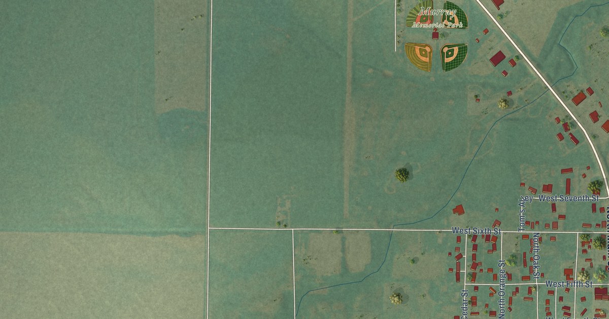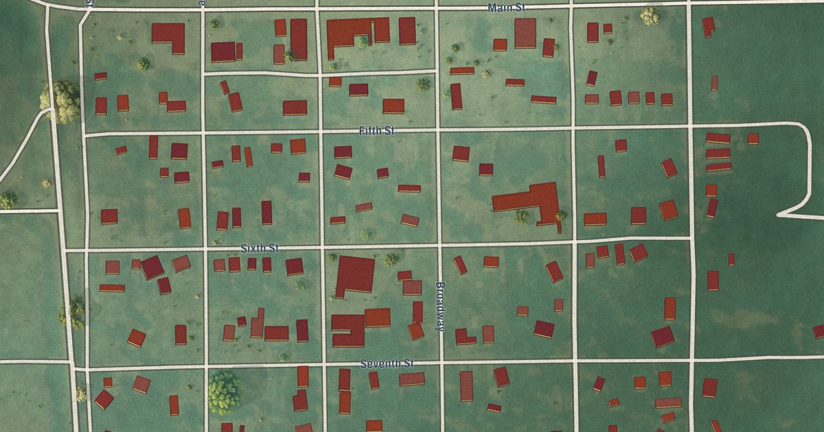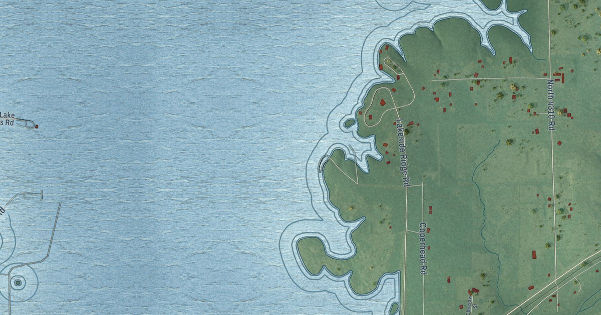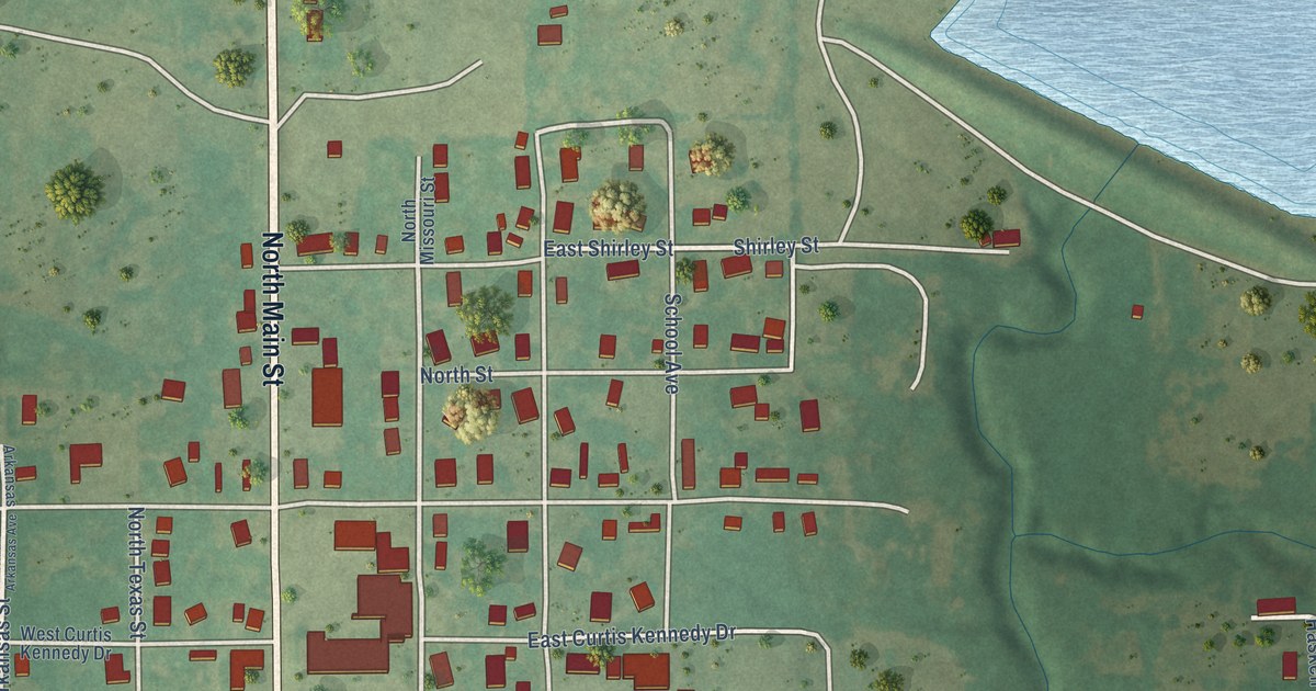
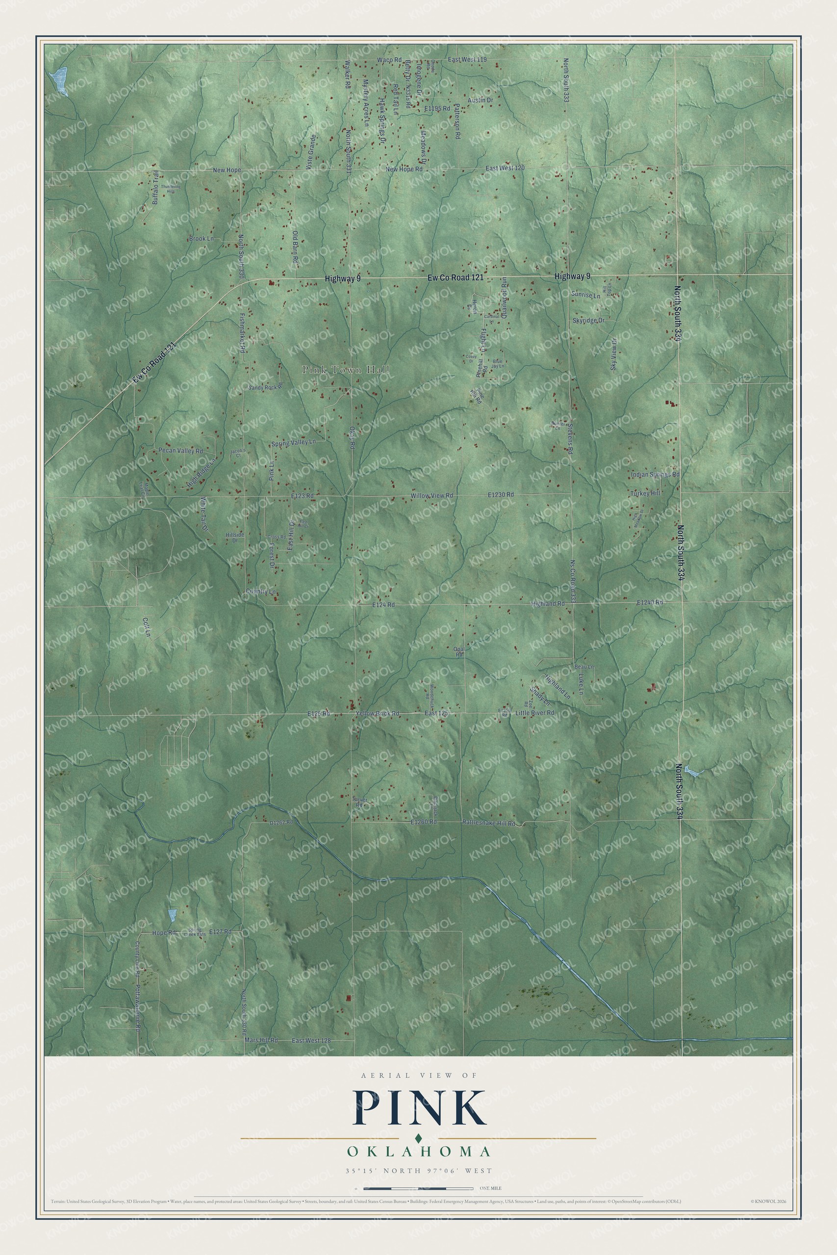
This beautifully detailed map of Pink, Oklahoma was created in 2026 using aerial imagery combined with modern topographical, census, street and landmark data. It's a modern aerial view of Pink in Pottawatomie County, Oklahoma, that combines modern data with a vintage aesthetic. The roads feature printed names, and if you look closely you can find your exact house accurately shown in its correct location.
Explore an aerial view of Pink, Oklahoma
On this map you'll find Pink Town Hall, North South 334, Ew Co Road 121, Highway 9, Patterson Road, East 125, E125 Road, Flight Lane, E1240 Road, Yellow Brick Road, Little River Road, New Hope, and more. Each red shape is a building, so zoom in on the preview and look for yours.
Every town has a first chapter, and Pink is no exception. The record at okhistory.org puts it this way: "The Post Office Department designated a Pink post office in January 1894, but Joseph Fahnestock declined his appointment as postmaster, delaying the opening until February."
Pink is a town in Pottawatomie County.
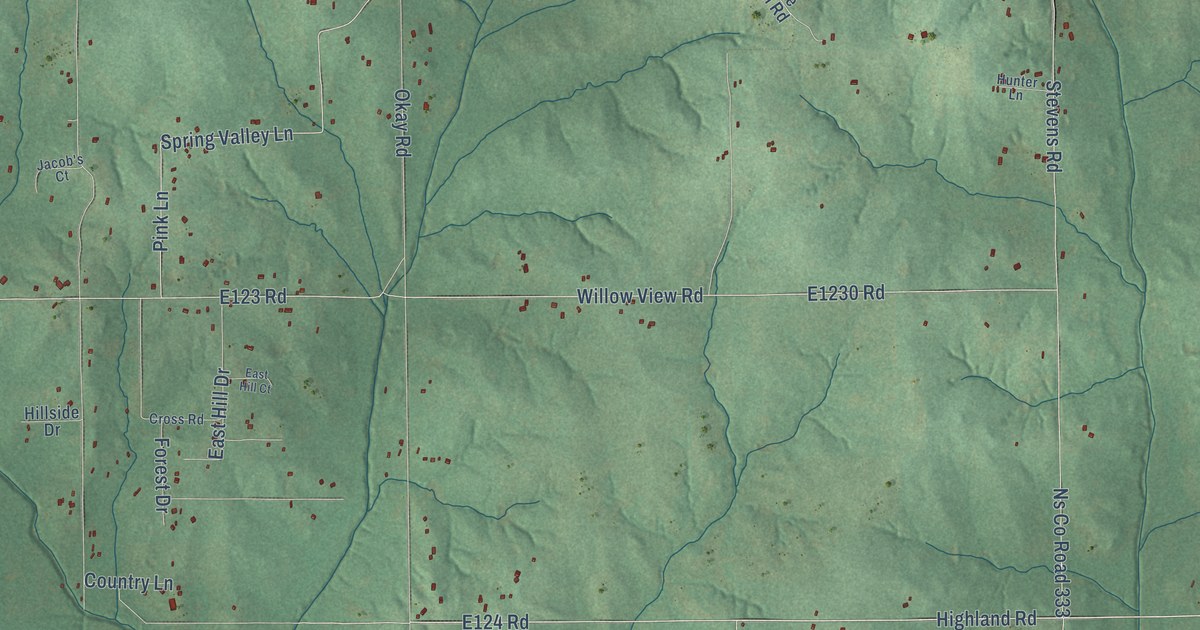
Take a closer look at the Pink map
Names on this map
These names are printed on this map.
Places: Pink Town Hall.
Streets and roads: North South 334, Ew County Road 121, Highway 9, Patterson Road, East 125, Flight Lane, Yellow Brick Road, Little River Road, New Hope, Rattlesnake Hill Road, Pottawatomie Road, Hope Road.
More street names, A to Z
Austin Drive, Beau Lane, Betty Drive, Blackjack Lane, Blue Jay Lane, Brook Lane, Buffalo Trail, Cardinal Lane, Colt Lane, Country Lane, County Line Road, Covey Drive, Cross Road, East Hill Court, East Hill Drive, East West 119, East West 120, East West 128, Fishmarket Road, Forest Drive, Hawk Springs Drive, Heron Drive, Highland Lane, Highland Road, High Meadow Drive, High Ridge Lane, Hillside Drive, Hill Top Lane, Hunter Lane, Imogene Drive, Indian Springs Road, Jacob's Court, Luke Lane, Maple Leaf Circle, Mars Hill Road, Meadows Drive, Mystery Acres Lane, New Hope Road, North South 330, North South 330 Road, North South 331, North South 333, Ns County Road 333, Okay Road, Old Barn Road, Oneda Road, Opal Road, Pecan Valley Road, Pinehill Road, Pine Hill Road, Pink Lane, Quailwood Run, Red Tail Lane, Sandy Rock Road, Shady Lane, Skyridge Drive, Sky View Drive, Spring Creek Ests, Spring Valley Lane, Stevens Road, Sunrise Lane, Tarver Road, Thundering Hills, Turkey Hill, Viste Grande, Waco Road, Walker Road, White Tail Drive, Willow View Road, Woodchuck Road, Zoe Road.
Created by KNOWOL in 2026. The buildings are small red shapes, the roads carry their printed names, and shaded relief shows the shape of the land. The title panel reads "AERIAL VIEW OF PINK OKLAHOMA" with 35°15' NORTH 97°06' WEST.
Hang it in the hallway, the office or the cabin, or give it to someone who left Pink and still calls it home. Open the preview and look for a street you know. See sizes and frames for the Pink map.