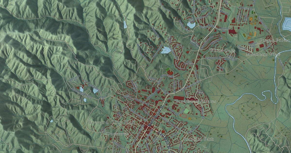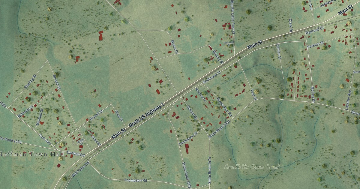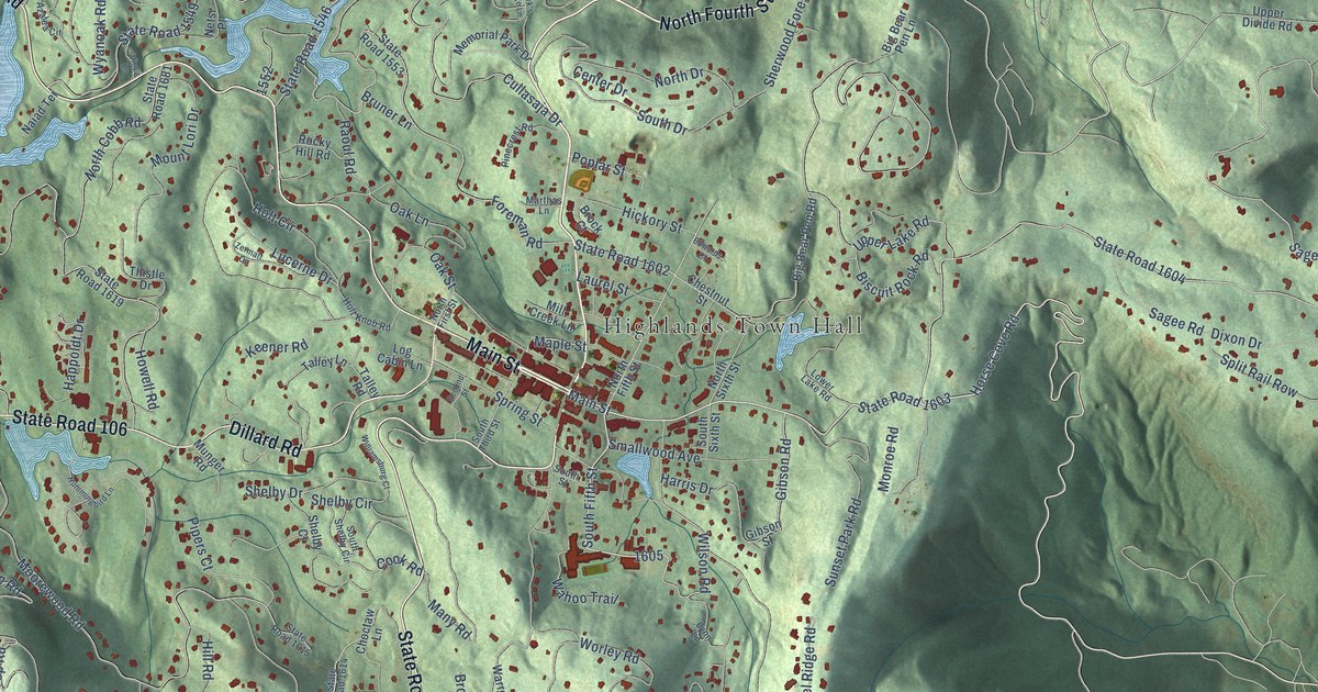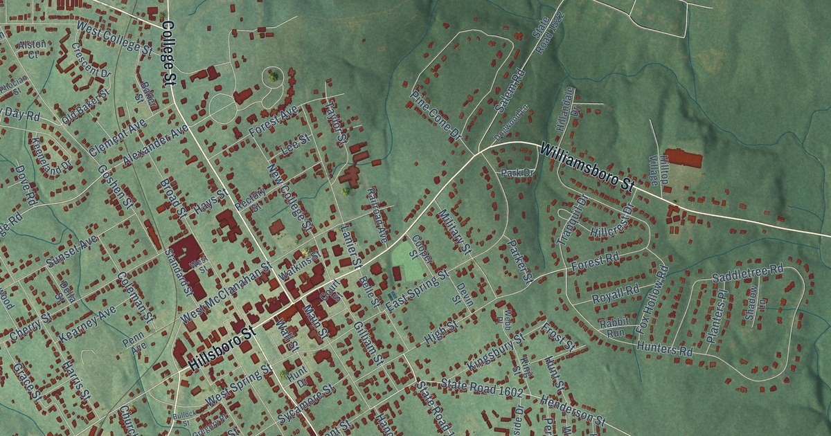
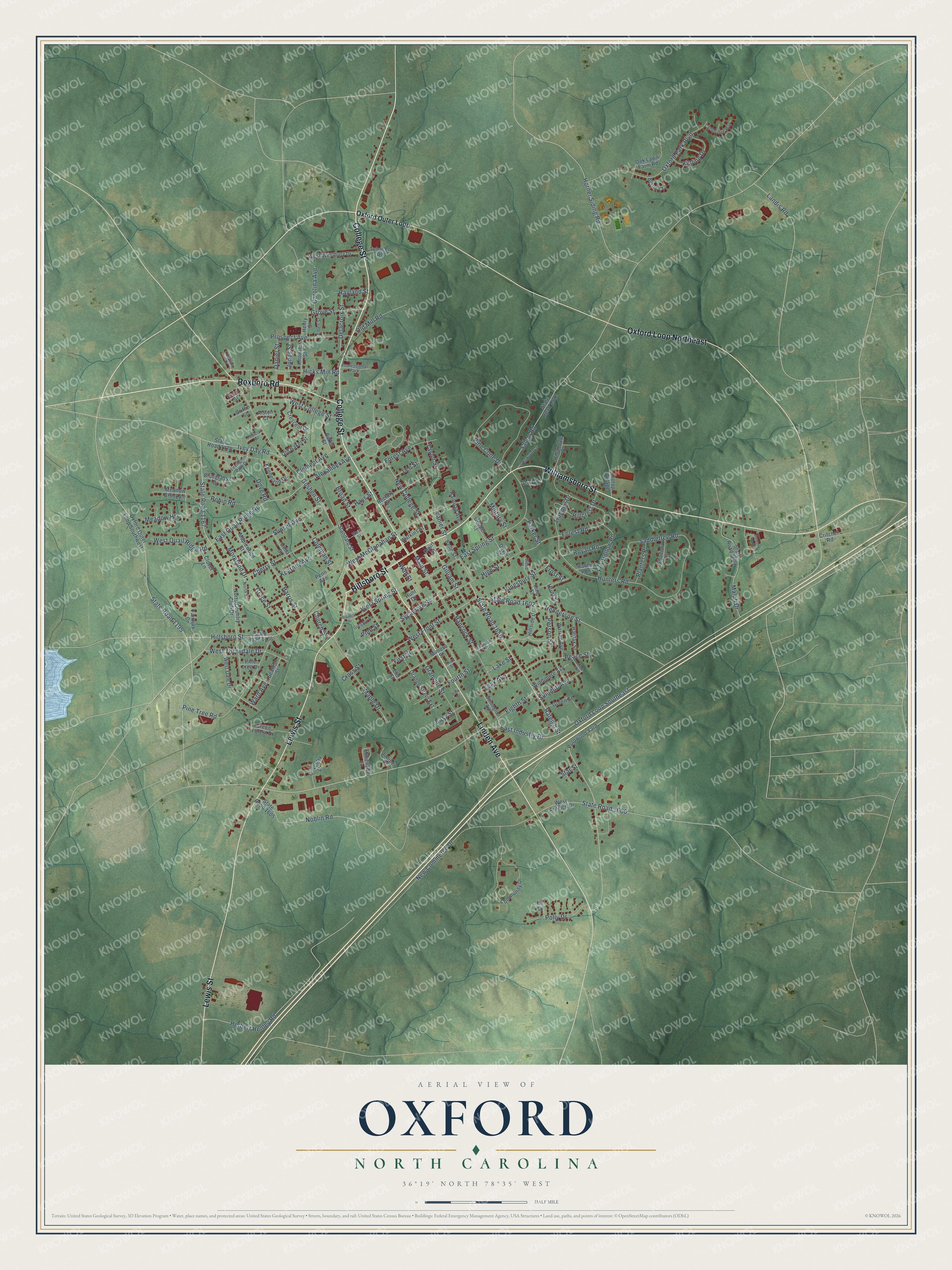
This beautifully detailed map of Oxford, North Carolina was created in 2026 using aerial imagery combined with modern topographical, census, street and landmark data. It's a modern aerial view of Oxford in Granville County, North Carolina, that combines modern data with a vintage aesthetic. The roads feature printed names, and if you look closely you can find your exact house accurately shown in its correct location.
Explore an aerial view of Oxford, North Carolina
On this map you'll find Hillsboro Street, College Street, Williamsboro Street, Lewis Street, Linden Avenue, Roxboro Road, Oxford Loop Northeast, State Road 1650, Raleigh Street, East Industry Drive, West Thorndale Drive, State Road 1195, and more. Each red shape is a building, so zoom in on the preview and look for yours.
Here is a piece of Oxford history, in the words of the record. The record at ncpedia.org puts it this way: "Oxford College (originally Oxford Female College) was a female academy established in Oxford, the Granville County seat, in 1850."
Oxford is a city in Granville County. The Census Bureau counted 8,628 people here in 2020.
Take a closer look at the Oxford map
Names on this map
These names are printed on this map.
Places: Professional Park and Autumn Park.
Streets and roads: Hillsboro Street, College Street, Williamsboro Street, Lewis Street, Linden Avenue, Roxboro Road, Oxford Loop Northeast, State Road 1650, Raleigh Street, East Industry Drive, West Thorndale Drive, State Road 1195.
More street names, A to Z
Albert Street, Alexander Avenue, Alex Street, Alston Court, Baker Street, Belle Street, Bluegrass Drive, Broad Street, Bullock Street, Byron Court, Cambridge Way, Carolina Avenue, Cherry Street, Church Street, Clement Avenue, Clover Lane, Coleman Street, Community Drive, Cooper Street, Court Street, Coventry Drive, Crescent Drive, Critcher Road, Cross Street, Daniel Street, Delacroix Street, Della Street, Devin Street, Dogwood Lane, Dove Road, East Quail Ridge Road, East Spring Street, Easy Street, Eighth Street, Elm Street, Fairway Drive, Fifth Street, Fir Court, First Street, Forest Avenue, Forest Road, Fourth Street, Fox Hollow Road, Franklin Street, Frost Street, Gilliam Street, Goshen Street, Grace Street, Granville Street, Green Forest Drive, Green Street, Gregory Place, Griffin Street, Grove Street, Halifax Street, Hancock Street, Harris Street, Hays Street, Henderson Street, Henry Street, Herbert Henley Road, Hicks Mill Road, High Street, Hillandale Drive, Hillcrest Drive, Hillside Drive, Hilltop Village, Horner Siding Road, Howard Drive, Hunt Drive, Hunters Road, Hunt Street, Ivey Day Road, Jones Street, Juniper Court, Kearney Avenue, Keeneland Drive, Kingsbury Street, King Street, Kipling Drive, Knowles Street, Lake Street, Landis Road, Lanier Street, Leak Avenue, Lee Street, Lexington Park Drive, Main Street, Maluli Drive, Maple Drive, Maplewood Street, Meadow Brook Lane, Meadow Heights, Military Street, Mimosa Street, Mittenzwei Lane, Moreland Drive, New College Street, New Commerce Drive, Noblin Road, North Country Club Drive, North Street, Oak Lawn Farm Road, Old Baker Street, Old Mill Road, Orange Street Extension, Oxford Loop Southeast, Oxford Outer Loop, Oxford Outer Loop Southwest, Oxford Park Boulevard, Park Drive, Parker Street, Peace Street, Pearl Street, Penn Avenue, Person Street, Phocian Street, Pine Cone Drive, Pine Street, Pine Tree Drive, Pine Tree Road, Planters Place, Polly Drive, Prospect Avenue, Pulpwood Yard, Rabbit Run, Railroad Avenue, Rayland Street, Rectory Street, Robin Road, Royall Road, Saddletree Road, Salem Road, Seaman Street, Shadow Lane, Standard Street, Star Street, State Road 1166, State Road 1167, State Road 1170, State Road 1522, State Road 1602, State Road 1605, State Road 1606, State Road 1644, Summitt Avenue, Sunset Avenue, Sycamore Street, Taylor Street, Third Street, Tobacco Road, Tranquil Drive, Wall Street, Ward Avenue, Warren Avenue, Watkins Street, Webb Place, West Antioch Drive, West College Street, West Dale Drive, West Front Street, West McClanahan Street, West Quail Ridge Road, West Spring Street, West Street, West Westbury Drive, Wilmington Avenue, Windimere Avenue.
Created by KNOWOL in 2026. The buildings are small red shapes, the roads carry their printed names, and shaded relief shows the shape of the land. The title panel reads "AERIAL VIEW OF OXFORD NORTH CAROLINA" with 36°19' NORTH 78°35' WEST.
It suits a den, a classroom or a front hall, and it makes a gift for anyone with Oxford roots. Open the preview and find the block you know. See sizes and frames for the Oxford map.