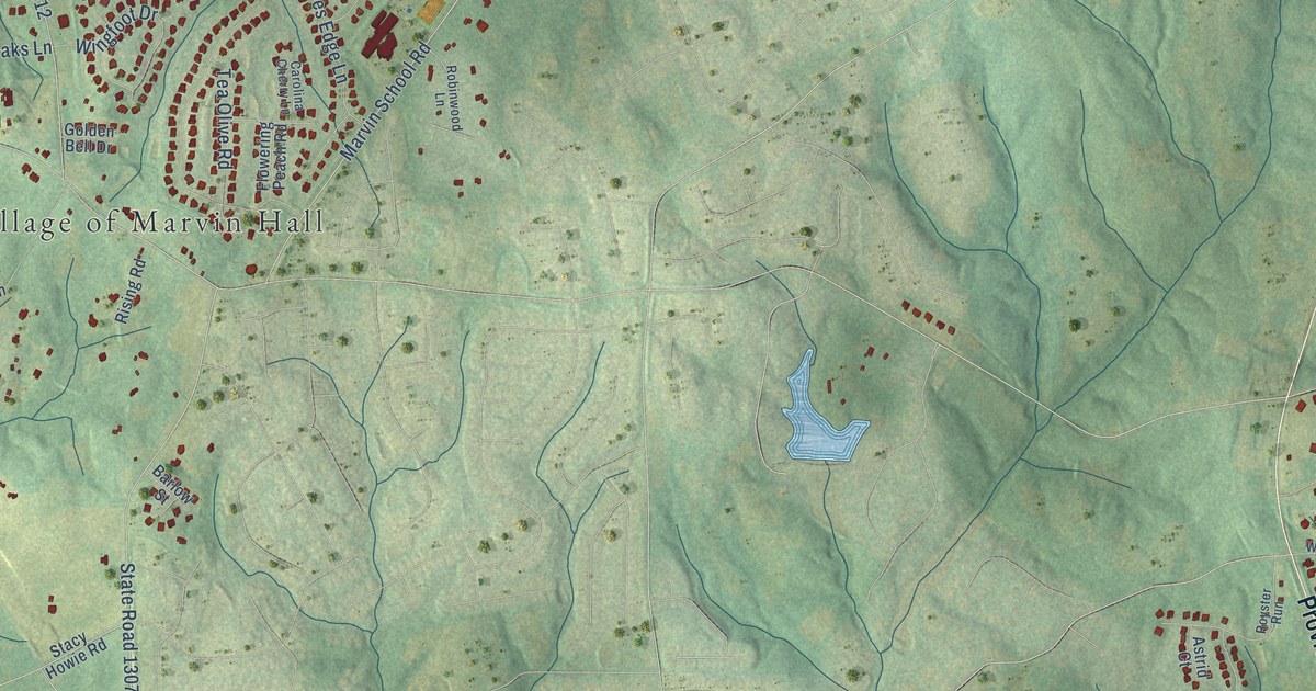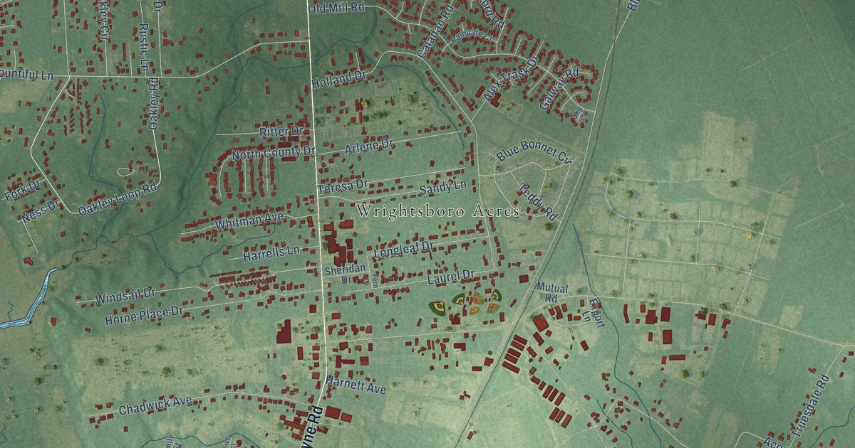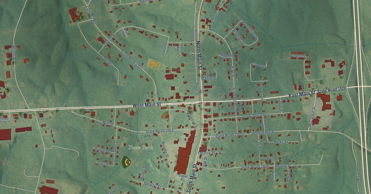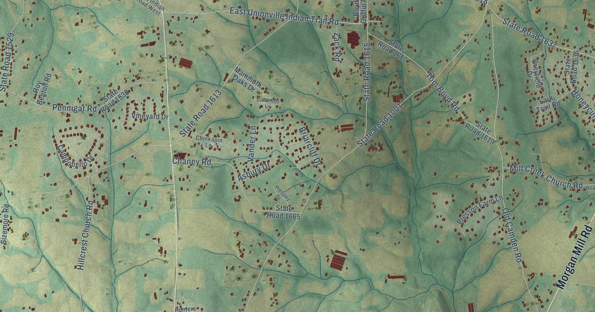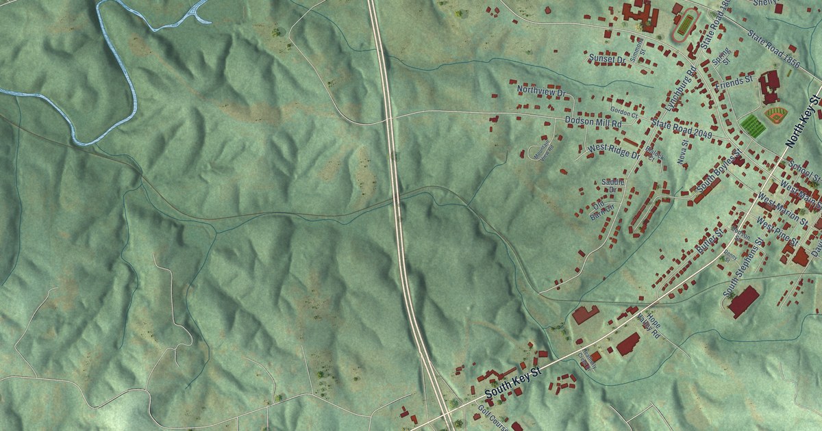
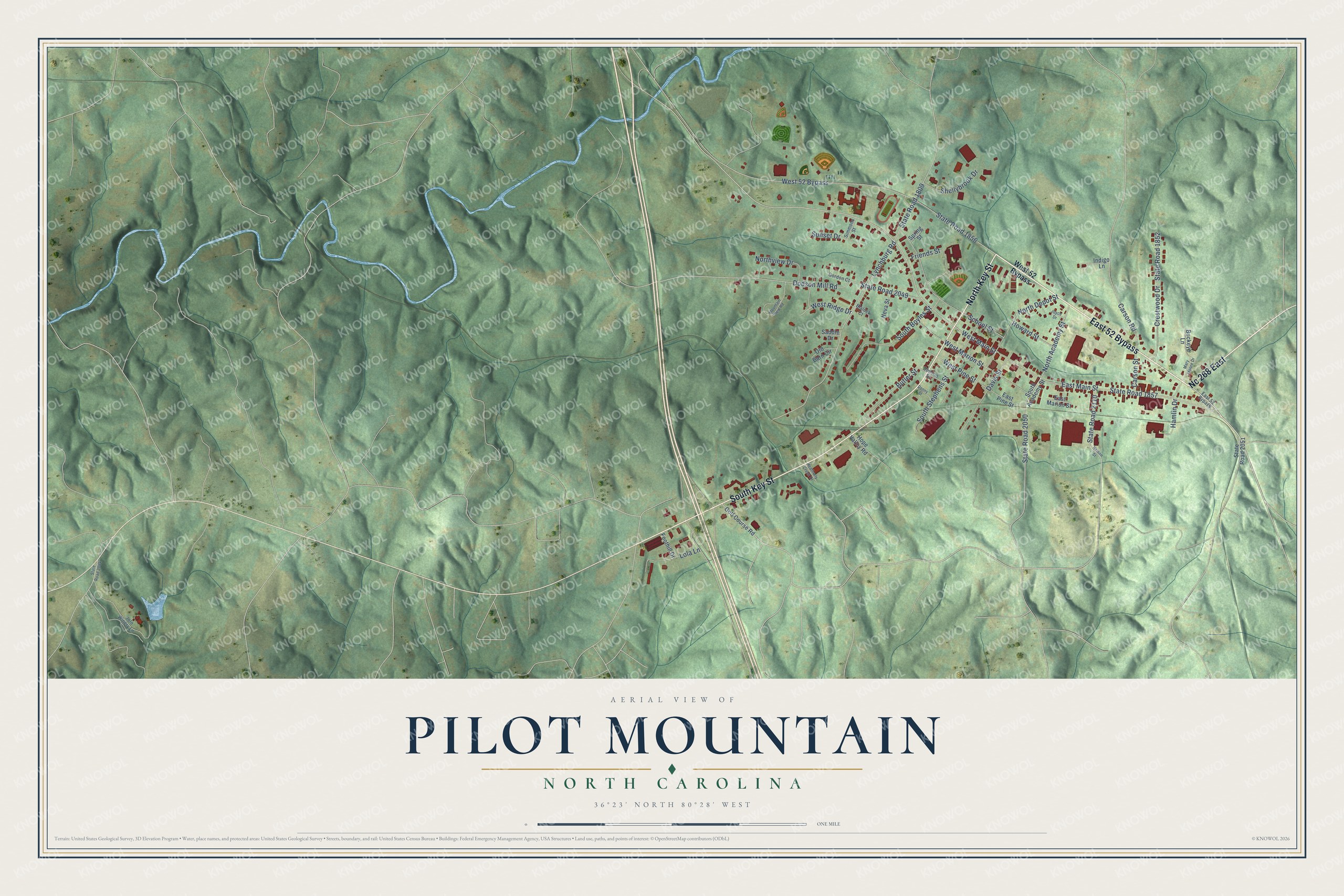
This beautifully detailed map of Pilot Mountain, North Carolina was created in 2026 using aerial imagery combined with modern topographical, census, street and landmark data. It's a modern aerial view of Pilot Mountain in Surry County, North Carolina, that combines modern data with a vintage aesthetic. The roads feature printed names, and if you look closely you can find your exact house accurately shown in its correct location.
Explore an aerial view of Pilot Mountain, North Carolina
On this map you'll find East 52 Bypass, North Key Street, Nc 268 East, South Key Street, West Main Street, State Road 2110, North Academy Street, State Road 2050, West Pine Street, State Road 1857, State Road 1809, State Road 1856, and more. Each red shape is a building, so zoom in on the preview and look for yours.
Here is a piece of Pilot Mountain history, in the words of the record. The record at dncr.nc.gov puts it this way: "Even so, the Moravians and others sourced whetstones for sharpening tools and mill stones for grinding grain from the streams close to Pilot Mountain."
Pilot Mountain is a town in Surry County. The Census Bureau counted 1,440 people here in 2020.
Take a closer look at the Pilot Mountain map
Names on this map
These names are printed on this map.
Streets and roads: East 52 Bypass, North Key Street, Nc 268 East, South Key Street, West Main Street, State Road 2110, North Academy Street, State Road 2050, West Pine Street, State Road 1857, State Road 1809, State Road 1856.
More street names, A to Z
Blalock Court, Buckeye Lane, Butler Street, Carson Road, Carson Street, Crestwood Drive, Davis Street, Denny Street, Dodson Mill Road, Dodson Street, East Main Street, East Marion Street, East Pine Street, Foothill Drive, Friends Street, Golf Course Road, Gordon Court, Hamlin Drive, Heatherly Creek Drive, Hope Valley Road, Howard Street, Indigo Lane, Jolo Winery Lane, Joyce Drive, Lola Lane, Lynchburg Road, Mary Moore Drive, Mountain View Road, Nelson Street, Neva Street, North Depot Street, Northview Drive, Old Barn Circle, Saddle Drive, School Street, Shellybrook Drive, Simmons Street, South Academy Street, South Boyles Street, South Stephens Street, Spring Street, State Road 1852, State Road 2044, State Road 2049, State Road 2051, Sunset Drive, West 52 Bypass, West Marion Street, West Ridge Drive.
Created by KNOWOL in 2026. The buildings are small red shapes, the roads carry their printed names, and shaded relief shows the shape of the land. The title panel reads "AERIAL VIEW OF PILOT MOUNTAIN NORTH CAROLINA" with 36°23' NORTH 80°28' WEST.
It suits a den, a classroom or a front hall, and it makes a gift for anyone with Pilot Mountain roots. Open the preview and find the block you know. See sizes and frames for the Pilot Mountain map.