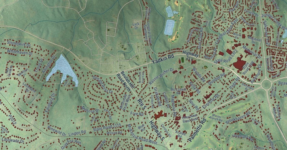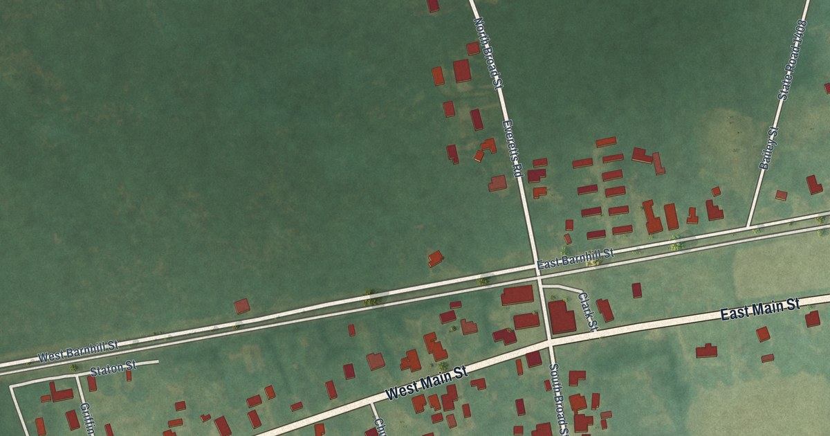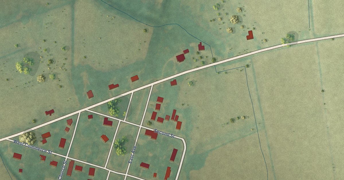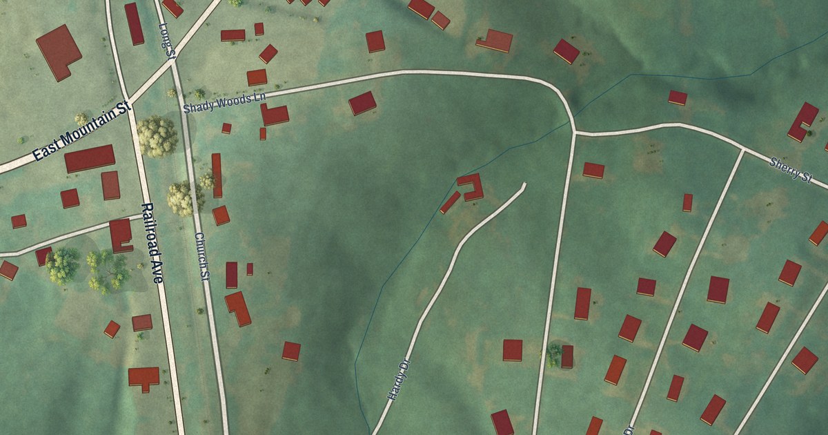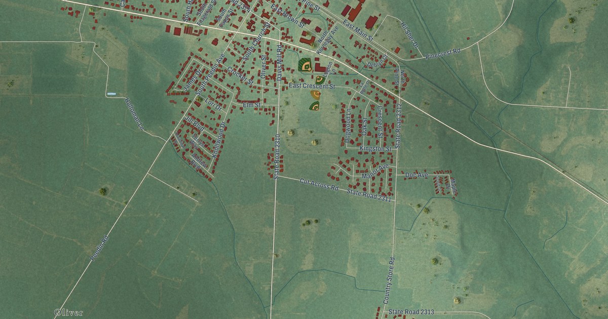
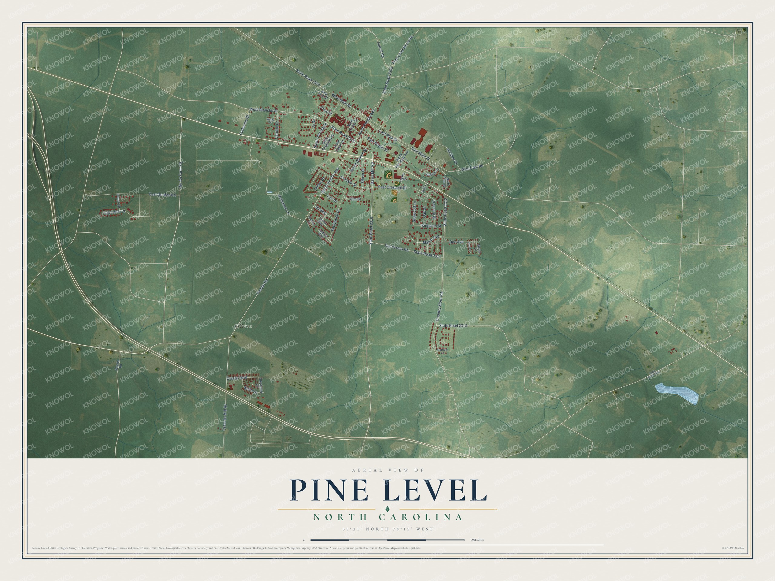
This beautifully detailed map of Pine Level, North Carolina was created in 2026 using aerial imagery combined with modern topographical, census, street and landmark data. It's a modern aerial view of Pine Level in Johnston County, North Carolina, that combines modern data with a vintage aesthetic. The roads feature printed names, and if you look closely you can find your exact house accurately shown in its correct location.
Explore an aerial view of Pine Level, North Carolina
On this map you'll find Oliver, State Road 2310, Davis Mill Road, South Peedin Avenue, Gor An Farm Road, West Blanche Street, Peedin Road, South Herring Street, North Peedin Avenue, East Main Street, Country Store Road, State Road 2312, and more. Each red shape is a building, so zoom in on the preview and look for yours.
Every town has a first chapter, and Pine Level is no exception. The North Carolina Gazetteer puts it this way: "Pine Level town in E Johnston County. Settled about 1868; inc. 1874. Named for pine forest and level land of the area. Alt. 155. Produces cottonseed oil."
Pine Level is a town in Johnston County. The Census Bureau counted 2,046 people here in 2020.
Take a closer look at the Pine Level map
Names on this map
These names are printed on this map.
Places: Oliver.
Streets and roads: State Road 2310, Davis Mill Road, South Peedin Avenue, Gor An Farm Road, West Blanche Street, Peedin Road, South Herring Street, North Peedin Avenue, East Main Street, Country Store Road, State Road 2312, East Pine Street.
More street names, A to Z
Andrew Boulevard, Carolyn Drive, Catherine Street, Creechs Mill Road, Crescent Street, Crocker Street, Crystal Boulevard, Cut Across Road, Deblyn Court, Doc Avenue, Dogwood Lane, East Brown Street, East Crescent Street, East Gordon Road, Elm Street, French Drive, Futrell Road, Hil Sher Drive, Holloman Lane, James Drive, Jc Drive, Jill Boulevard, Keith Lane, Kingston Street, Knollwood Drive, La Belle Drive, Legion Lane, Log Cabin Court, Lori Drive, Manor Avenue, Maple Drive, North Capps Street, North Kornegay Avenue, North Pine Street, Oak Street, Oliver Street, Orchid Drive, Pinecrest Road, Pine Level Micro Road, Price Street, South Capps Street, South Church Street, South Fitzgerald Street, Starfield Lane, State Road 1927, State Road 2141, State Road 2309, State Road 2311, State Road 2313, State Road 2374, Stephanie Circle, Terrys Way, Townview Drive, West Main Street, West Pine Street, Wilma Drive, Woods Road.
Created by KNOWOL in 2026. The buildings are small red shapes, the roads carry their printed names, and shaded relief shows the shape of the land. The title panel reads "AERIAL VIEW OF PINE LEVEL NORTH CAROLINA" with 35°31' NORTH 78°15' WEST.
Hang it in the hallway, the office or the cabin, or give it to someone who left Pine Level and still calls it home. Open the preview and look for a street you know. See sizes and frames for the Pine Level map.