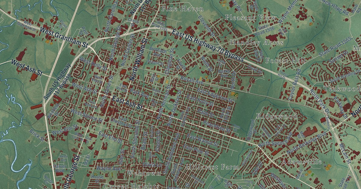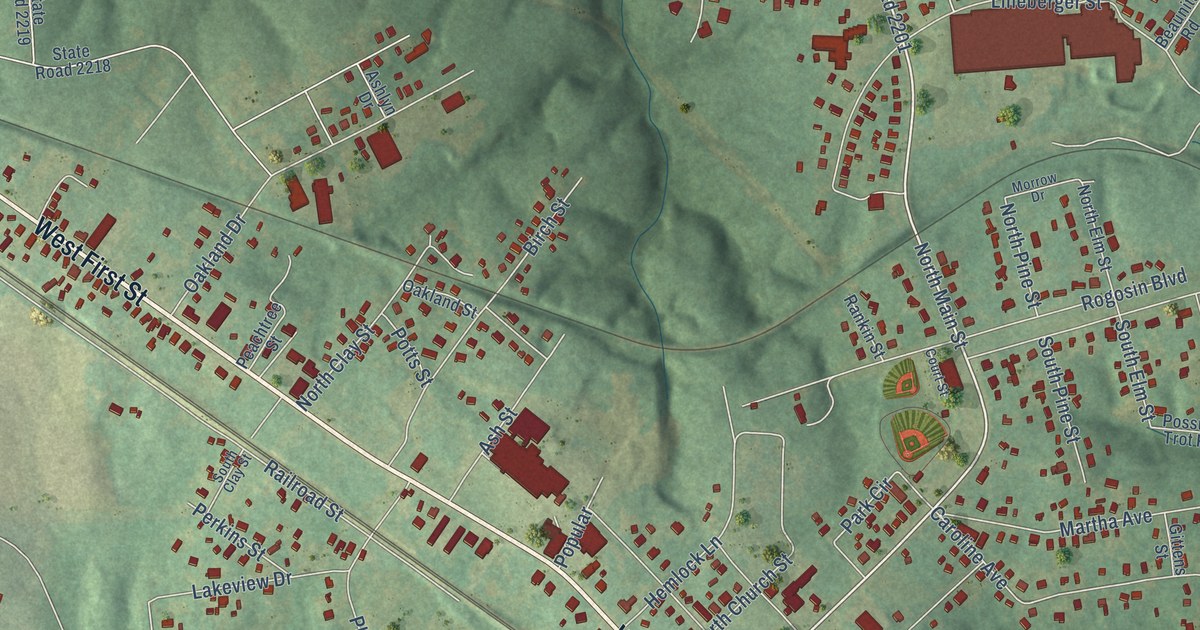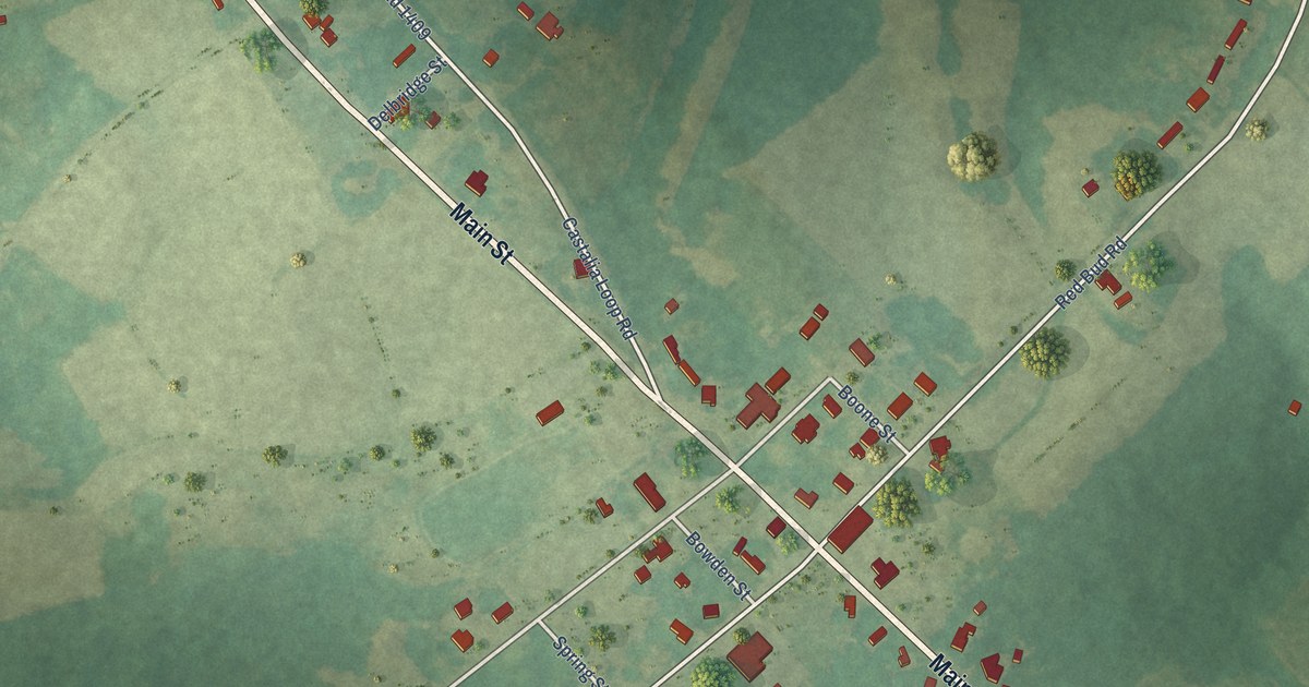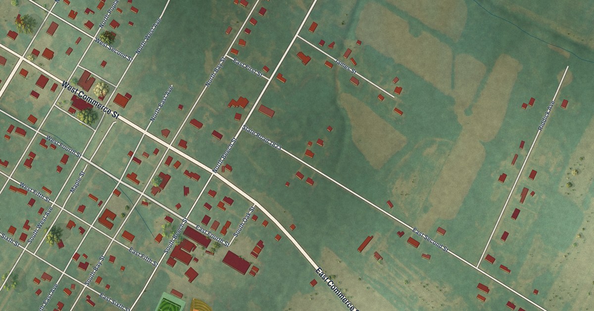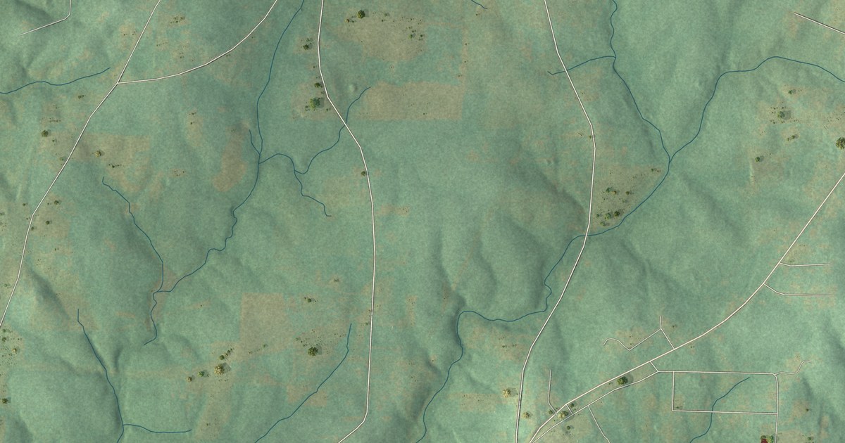
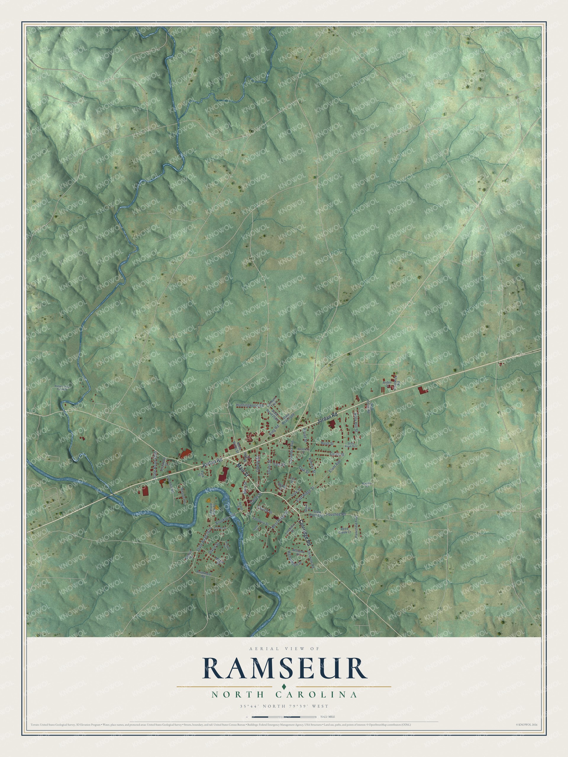
This beautifully detailed map of Ramseur, North Carolina was created in 2026 using aerial imagery combined with modern topographical, census, street and landmark data. It's a modern aerial view of Ramseur in Randolph County, North Carolina, that combines modern data with a vintage aesthetic. The roads feature printed names, and if you look closely you can find your exact house accurately shown in its correct location.
Explore an aerial view of Ramseur, North Carolina
On this map you'll find Main Street, Coleridge Road, Jordan Road, East Ridge Street, Bush Street, Brooklyn Avenue, Elam Avenue, State Road 2615, Columbia Avenue, Liberty Street, Kimrey Street, Foushee Road, and more. Each red shape is a building, so zoom in on the preview and look for yours.
Here is a piece of Ramseur history, in the words of the record. The North Carolina Gazetteer puts it this way: "Known as Allen's Fall prior to 1878; named Columbia after 1878, when Deep River Mills est. Inc. 1895 as Ramseur in honor of Stephen D. Ramseur (1837-64), Confederate major general with whom William H. Watkins, one of the local mill owners, had been associated during the Civil War."
Ramseur is a town in Randolph County. The Census Bureau counted 1,774 people here in 2020.
Take a closer look at the Ramseur map
Names on this map
These names are printed on this map.
Streets and roads: Main Street, Coleridge Road, Jordan Road, East Ridge Street, Bush Street, Brooklyn Avenue, Elam Avenue, State Road 2615, Columbia Avenue, Liberty Street, Kimrey Street, Foushee Road.
More street names, A to Z
Arden Court, Broad Street, Carter Street, Chisholm Road, Church Street, Cox Street, Craven Street, Crestwick Road, Curtis Street, Depot Street, Dixon Street, Elizabeth Street, Greenhill Road, Holly Hill Street, Huntingwood Road, King Road, Lambert Trail, Leonard Park Street, Lineberry Street, Megan Drive, Mission Heights, Moffitt Street, Newell Street, North Brady Street, Oak Street, Oliver Street, Parksfield Trail, Park Street, Ramtex Drive, Reed Creek Court, Reed Creek Road, Richardson Street, Roundleaf Road, Salisbury Street, Shady Drive, State Road 2206, State Road 2488, State Road 2506, State Road 2621, State Road 2677, Steele Street, Stout Street, Tate Street, Wallace Street Extended, Weatherly Street, West Ridge Street, Williams Street, Woodell Avenue, York Street.
Created by KNOWOL in 2026. The buildings are small red shapes, the roads carry their printed names, and shaded relief shows the shape of the land. The title panel reads "AERIAL VIEW OF RAMSEUR NORTH CAROLINA" with 35°44' NORTH 79°39' WEST.
It suits a den, a classroom or a front hall, and it makes a gift for anyone with Ramseur roots. Open the preview and find the block you know. See sizes and frames for the Ramseur map.