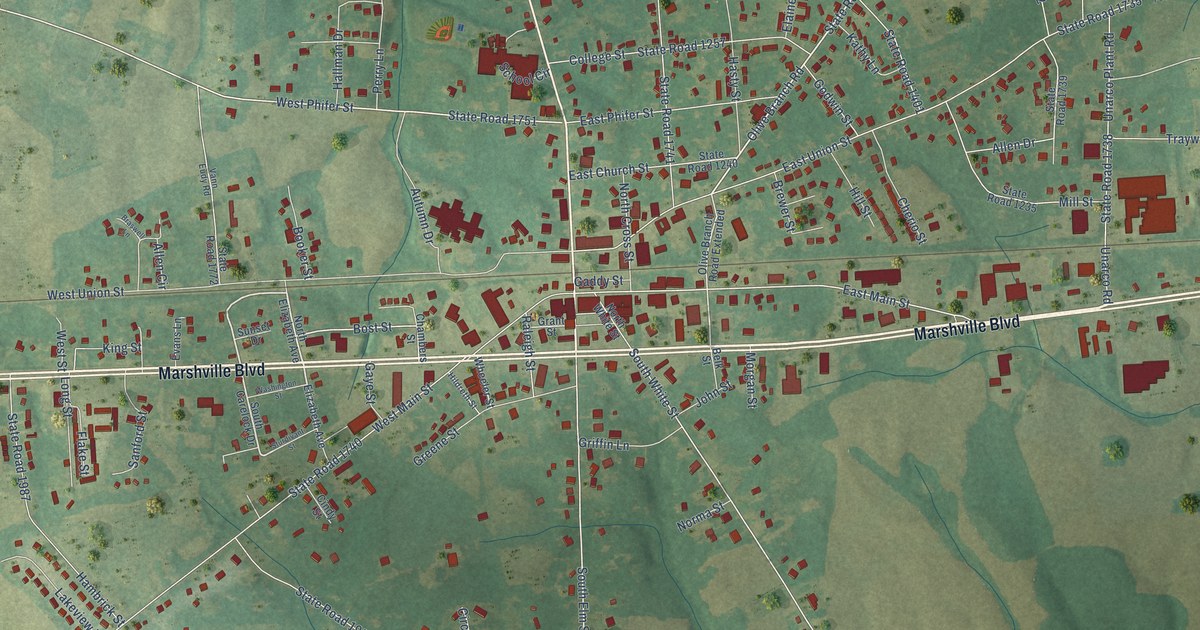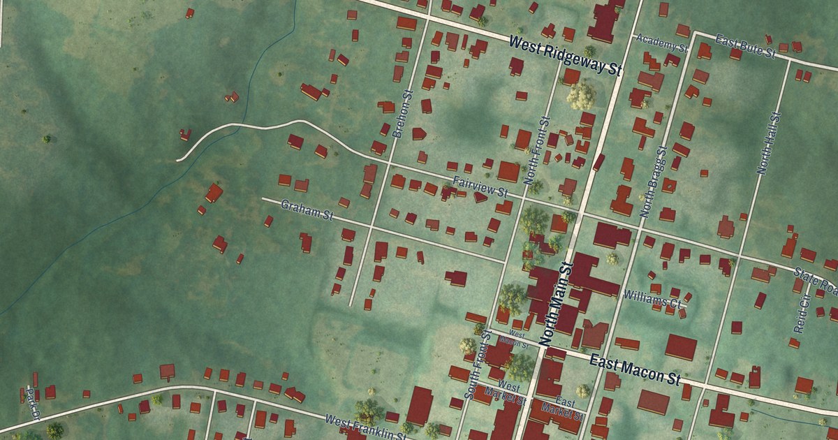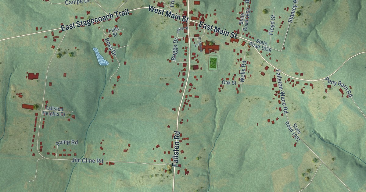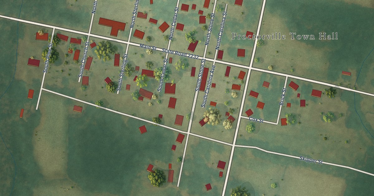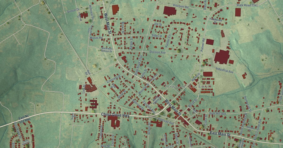
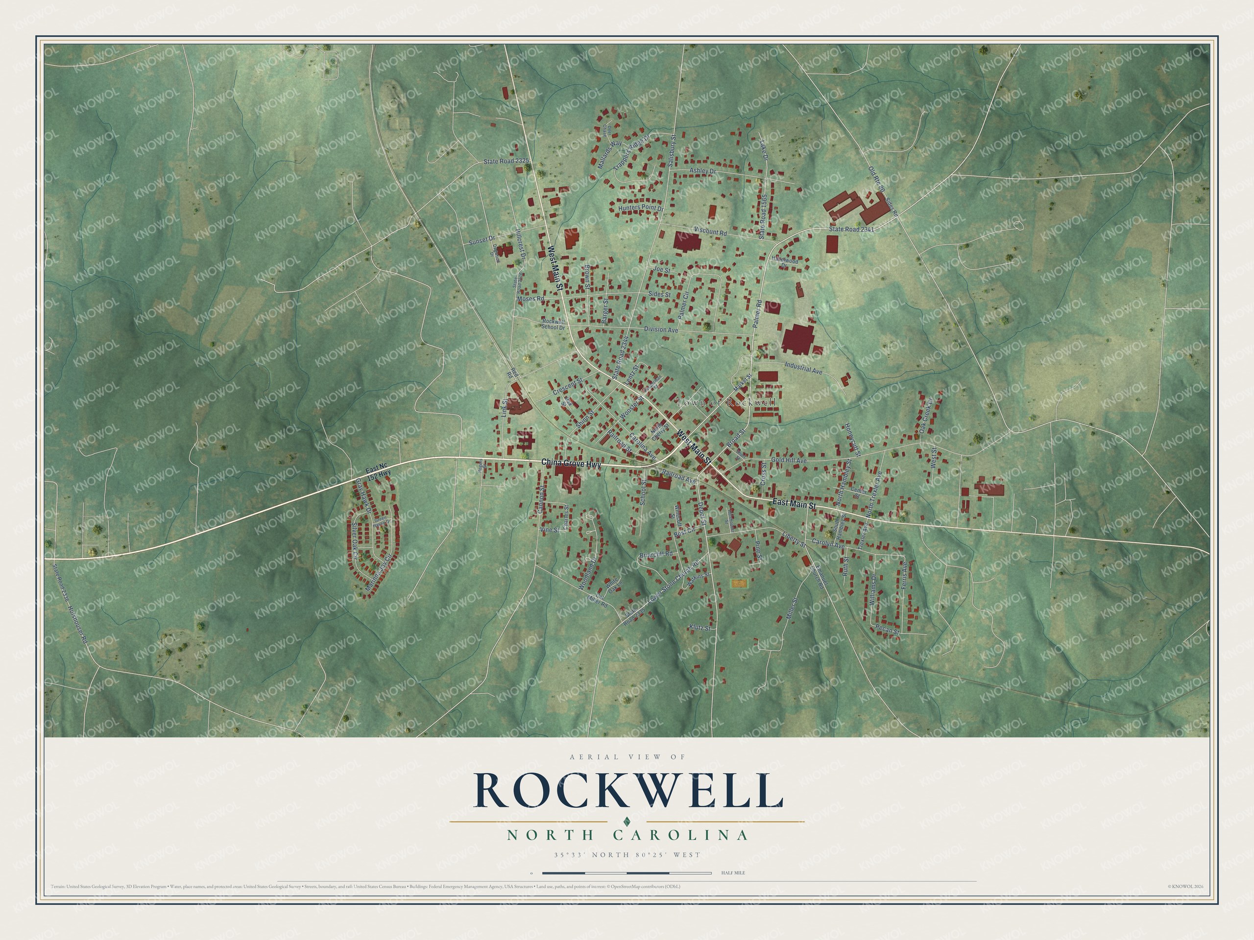
This beautifully detailed map of Rockwell, North Carolina was created in 2026 using aerial imagery combined with modern topographical, census, street and landmark data. It's a modern aerial view of Rockwell in Rowan County, North Carolina, that combines modern data with a vintage aesthetic. The roads feature printed names, and if you look closely you can find your exact house accurately shown in its correct location.
Explore an aerial view of Rockwell, North Carolina
On this map you'll find Town of Rockwell, China Grove Highway, West Main Street, East Main Street, Palmer Road, Broad Street, Depot Street, Carolina Avenue, State Road 2341, State Road 2344, Salisbury Street, Gold Hill Avenue, and more. Each red shape is a building, so zoom in on the preview and look for yours.
Here is a piece of Rockwell history, in the words of the record. The North Carolina Gazetteer puts it this way: "Early travelers from Salisbury to Cheraw and Camden, S.C., enjoyed good water from a rock well there, hence the name. A post office est. there 1838 as Millville, changed to Rockville in 1839 and to Rockwell in 1872."
Rockwell is a town in Rowan County. The Census Bureau counted 2,302 people here in 2020.
Take a closer look at the Rockwell map
Names on this map
These names are printed on this map.
Places: Town of Rockwell.
Streets and roads: China Grove Highway, West Main Street, East Main Street, Palmer Road, Broad Street, Depot Street, Carolina Avenue, State Road 2341, State Road 2344, Salisbury Street, Gold Hill Avenue, Division Avenue.
More street names, A to Z
Ashley Drive, Barger Street, Bost Circle, Briarcliff Road, Brown Street, Cal Miller Road, Cannon Street, Carolyn Avenue, Center Street, Charles Street, Crescent Street, Cross Street, Deer Chase, Dogwood Drive, East Nc 152 Highway, Emanuel Church Road, Ferris Avenue, Fesperman Street, Gray Hawk Drive, Green Haven Drive, Hazelwood Drive, Hillcrest Drive, Holshouser Road, Holshouser Street, Honeycutt Street, Hunters Point Drive, Industrial Avenue, Joe Street, Klutz Street, Lake Drive, Lentz Street, Liberty Street, Link Street, Lower Stone Church Road, Mallards Way, Marinna Joy Circle, Market Street, Miller Street, Moses Road, North Cherry Street, North Hambley Street, North Trexler Avenue, Oak Creek Drive, Oak Street, Old Route 80, Palmer Circle, Pecan Street, Pine Street, Railroad Avenue, Railroad Street, Red Road, Rockwell School Drive, Rogers Street, Ruth Street, School Street, Shinn Street, Short Street, Sides Road, Sides Street, Silver Oak Circle, South Hambley Street, State Road 1565, State Road 2325, State Road 2335, State Road 2336, State Road 2416, Sunset Drive, Trappers Ridge Drive, Trexler Avenue, Vine Street, Viscount Road, Watkins Street, West Street, White Oak Lane, Williams Drive, Winecoff Street, Woodland Drive, Wooster Street.
Created by KNOWOL in 2026. The buildings are small red shapes, the roads carry their printed names, and shaded relief shows the shape of the land. The title panel reads "AERIAL VIEW OF ROCKWELL NORTH CAROLINA" with 35°33' NORTH 80°25' WEST.
It suits a den, a classroom or a front hall, and it makes a gift for anyone with Rockwell roots. Open the preview and find the block you know. See sizes and frames for the Rockwell map.