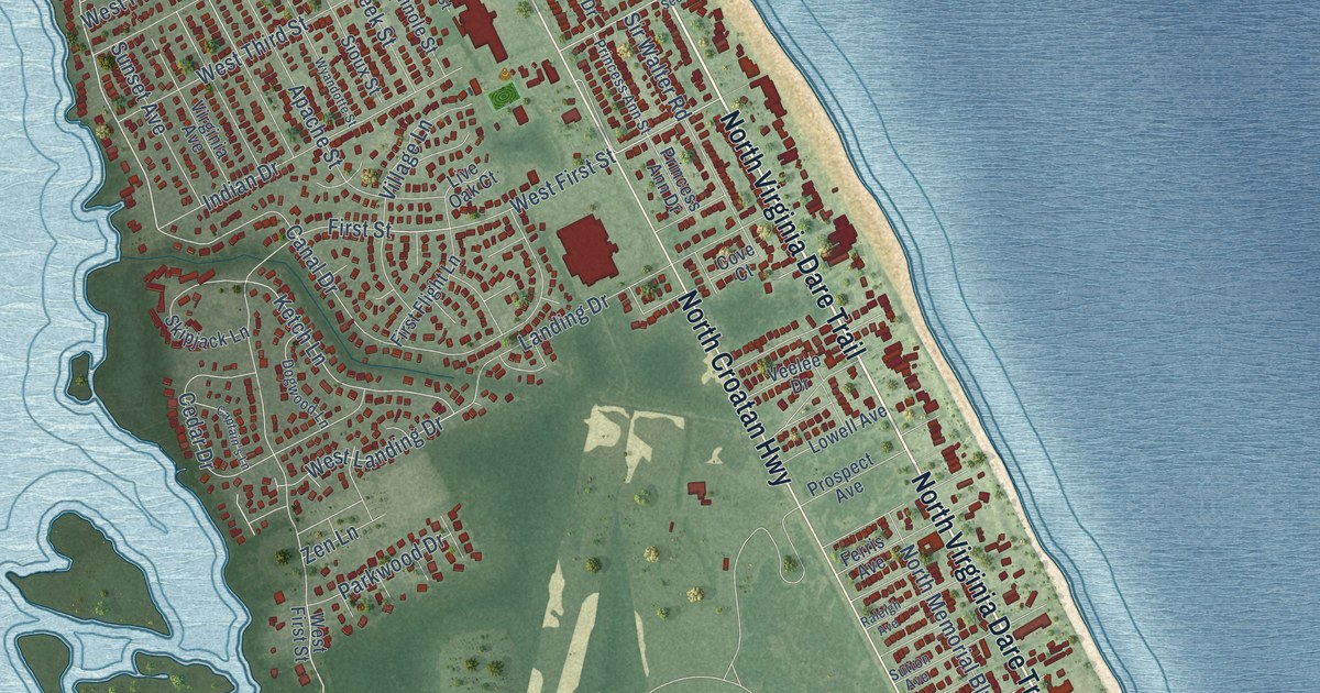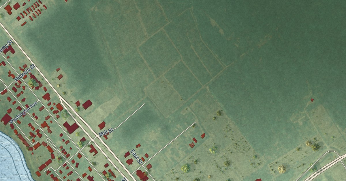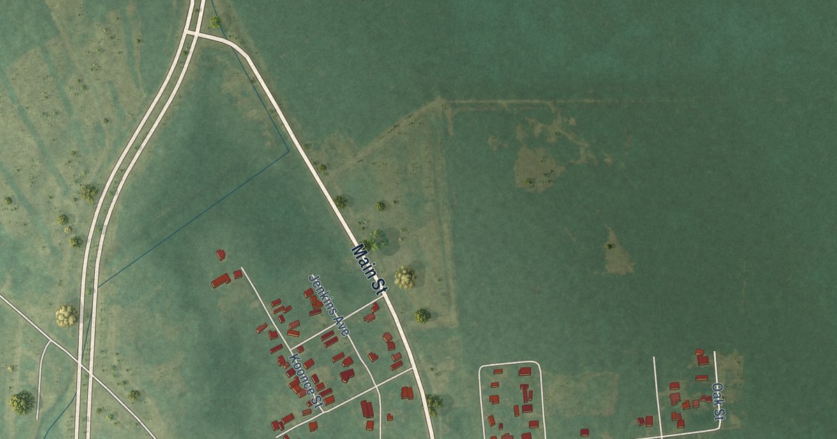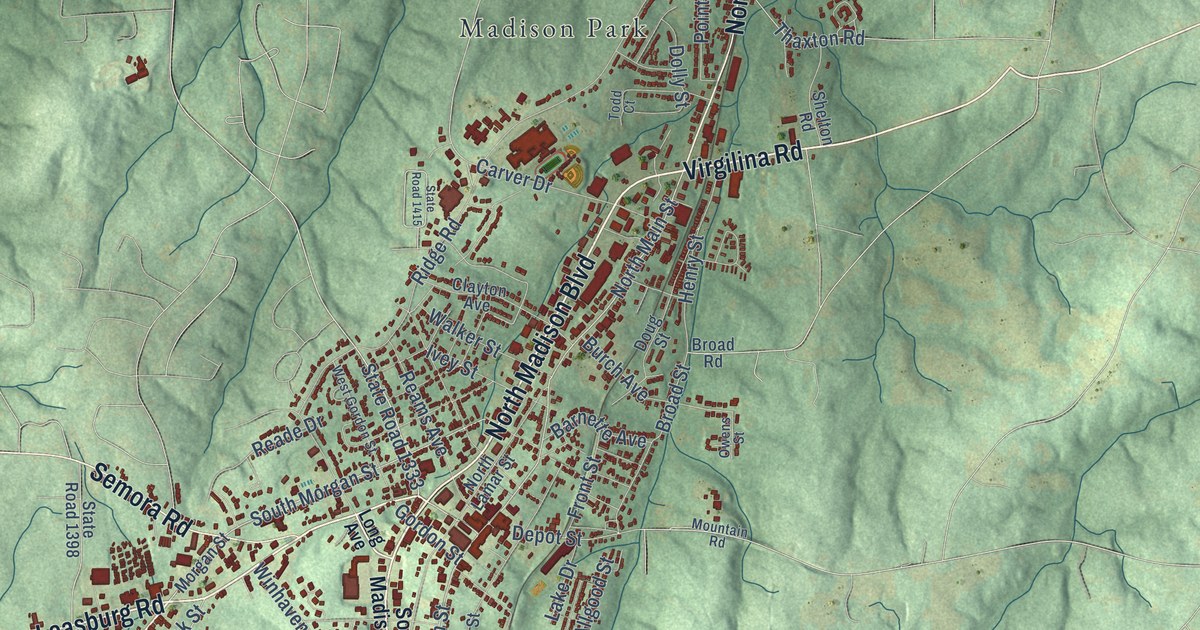
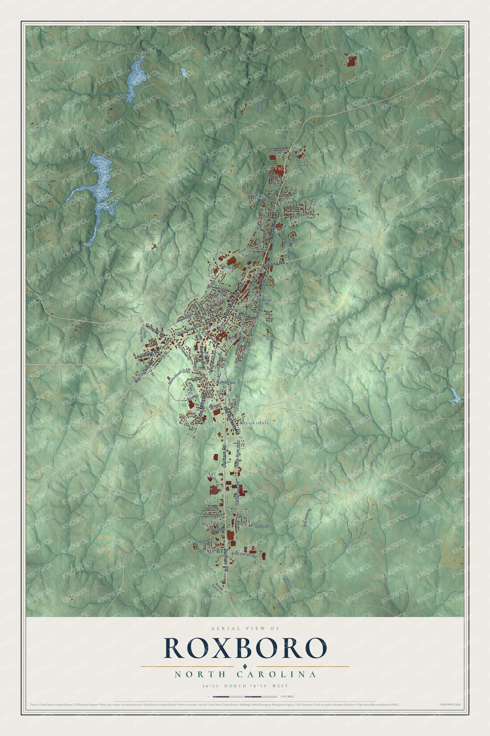
This beautifully detailed map of Roxboro, North Carolina was created in 2026 using aerial imagery combined with modern topographical, census, street and landmark data. It's a modern aerial view of Roxboro in Person County, North Carolina, that combines modern data with a vintage aesthetic. The roads feature printed names, and if you look closely you can find your exact house accurately shown in its correct location.
Explore an aerial view of Roxboro, North Carolina
On this map you'll find Cal-Vel, Longhurst, Brooksdale, Madison Park, Somerset, Leasburg Road, North Madison Boulevard, Burlington Road, Virgilina Road, Old Durham Road, Durham Road, Hurdle Mills Road, and more. Each red shape is a building, so zoom in on the preview and look for yours.
Roxboro has a story worth telling. The record at dncr.nc.gov puts it this way: "Robert Paine, a founder of the Methodist Episcopal Church, South, spent his youth near Roxboro, where he was born on November 12, 1799, to James and Nancy Williams Paine."
Roxboro is a city in Person County. The Census Bureau counted 8,134 people here in 2020.
Take a closer look at the Roxboro map
Names on this map
These names are printed on this map.
Places: Cal-Vel, Longhurst, Brooksdale, Madison Park and Somerset.
Streets and roads: Leasburg Road, North Madison Boulevard, Burlington Road, Virgilina Road, Old Durham Road, Durham Road, Hurdle Mills Road, North Main Street, Semora Road, South Main Street, South Morgan Street, State Road 1333.
More street names, A to Z
Allgood Street, Allie Clay Road, Azalea Drive, Barnette Avenue, Bessie Daniel Road, Billy Hicks Road, Broad Road, Broad Street, Burch Avenue, Bywood Drive, Carver Drive, Clayton Avenue, Clayton Street, Cody Street, Depot Street, Dolly Street, Doug Street, Edgar Street, Edgewood Drive, Forrestwood Drive, Franklin Street, Frank Street, Friendly Drive, Front Street, Garrett Street, Gates Street, Gordon Street, Griles Street, Gwyn Road, Hagers Ridge Road, Henry Street, Hester Street, Hill Street, Industrial Drive, Ivey Street, John Street, Keith Place, Kerr Drive, Lake Drive, Layne Street, Lee Street, Long Avenue, Lucy Garrett Road, Lynn Drive, Main Circle, Memorial Drive, Morgan Street, Mountain Road, Nichols Avenue, North Lamar Street, Owens Street, Park Street, Patterson Drive, Person Court, Pointer Street, Providence Road, Puryear Street, Reade Drive, Reams Avenue, Red Oak Drive, Ridge Road, School Street, Shale Circle, Shelton Road, Somerset Drive, South Foushee Street, South Madison Boulevard, South Street, State Road 1152, State Road 1398, State Road 1415, State Road 1700, State Road 1703, Stone Drive, Thaxton Road, Todd Court, Walker Street, West Gordon Street, Winhaven Street.
Created by KNOWOL in 2026. The buildings are small red shapes, the roads carry their printed names, and shaded relief shows the shape of the land. The title panel reads "AERIAL VIEW OF ROXBORO NORTH CAROLINA" with 36°23' NORTH 78°59' WEST.
It looks right in a kitchen, an office or a den, and it's a gift for anyone who grew up in Roxboro or moved away. Open the preview and find your street. See sizes and frames for the Roxboro map.