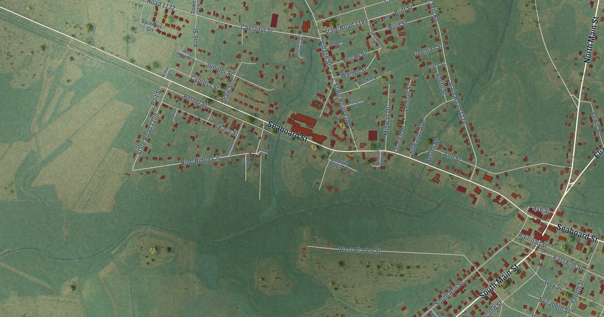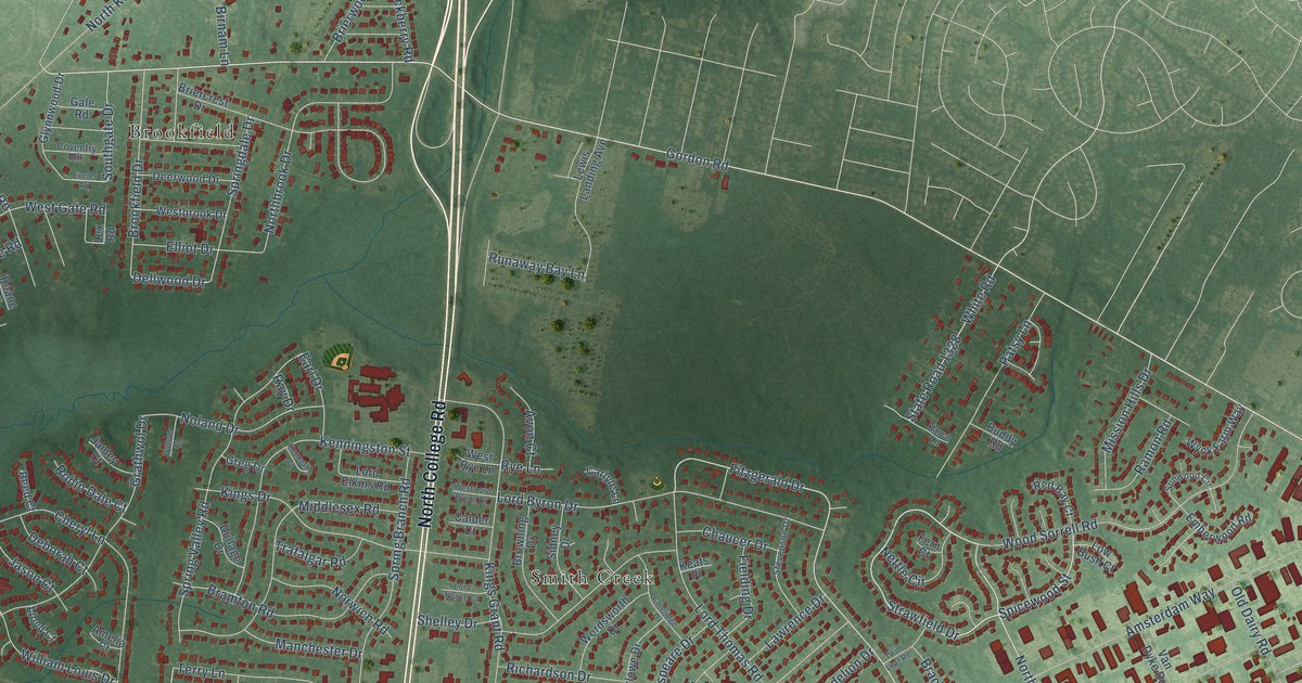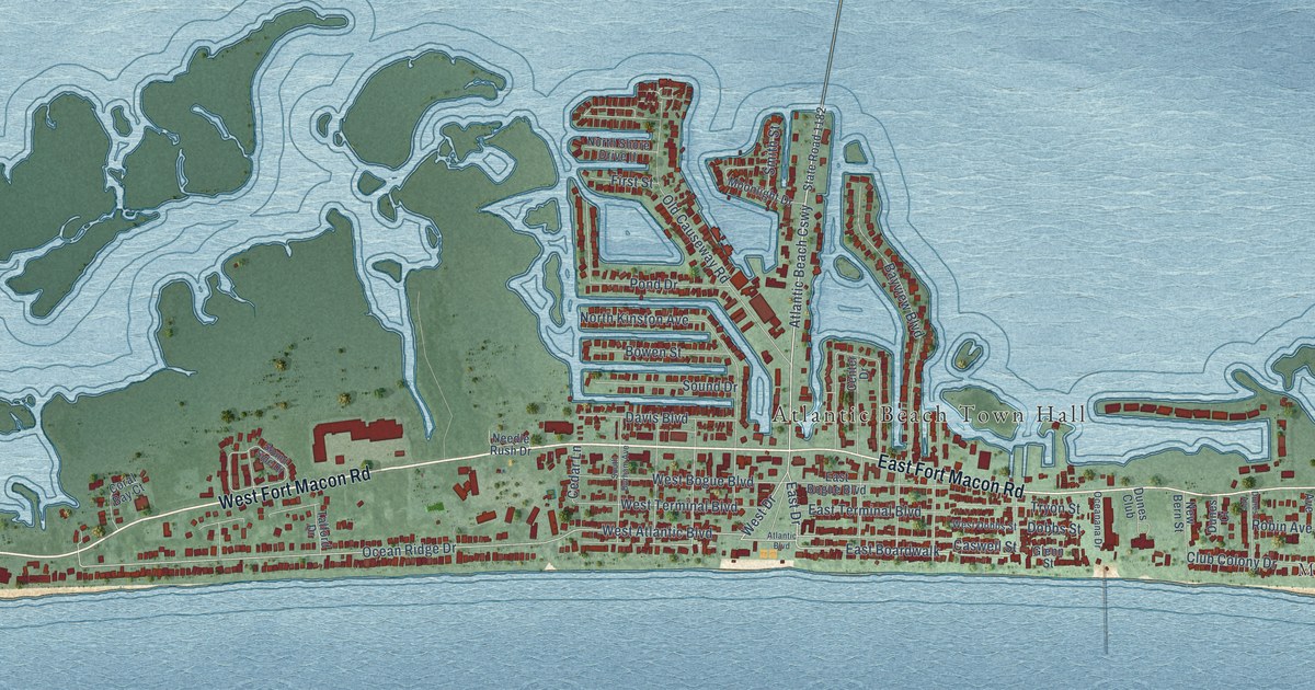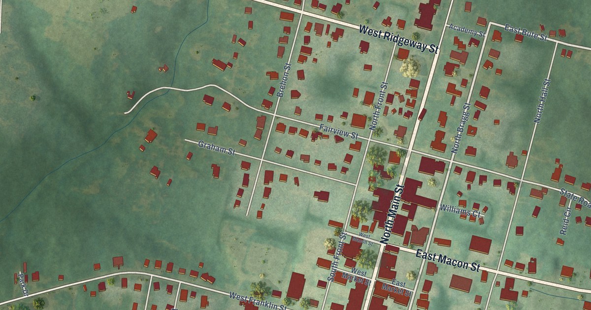
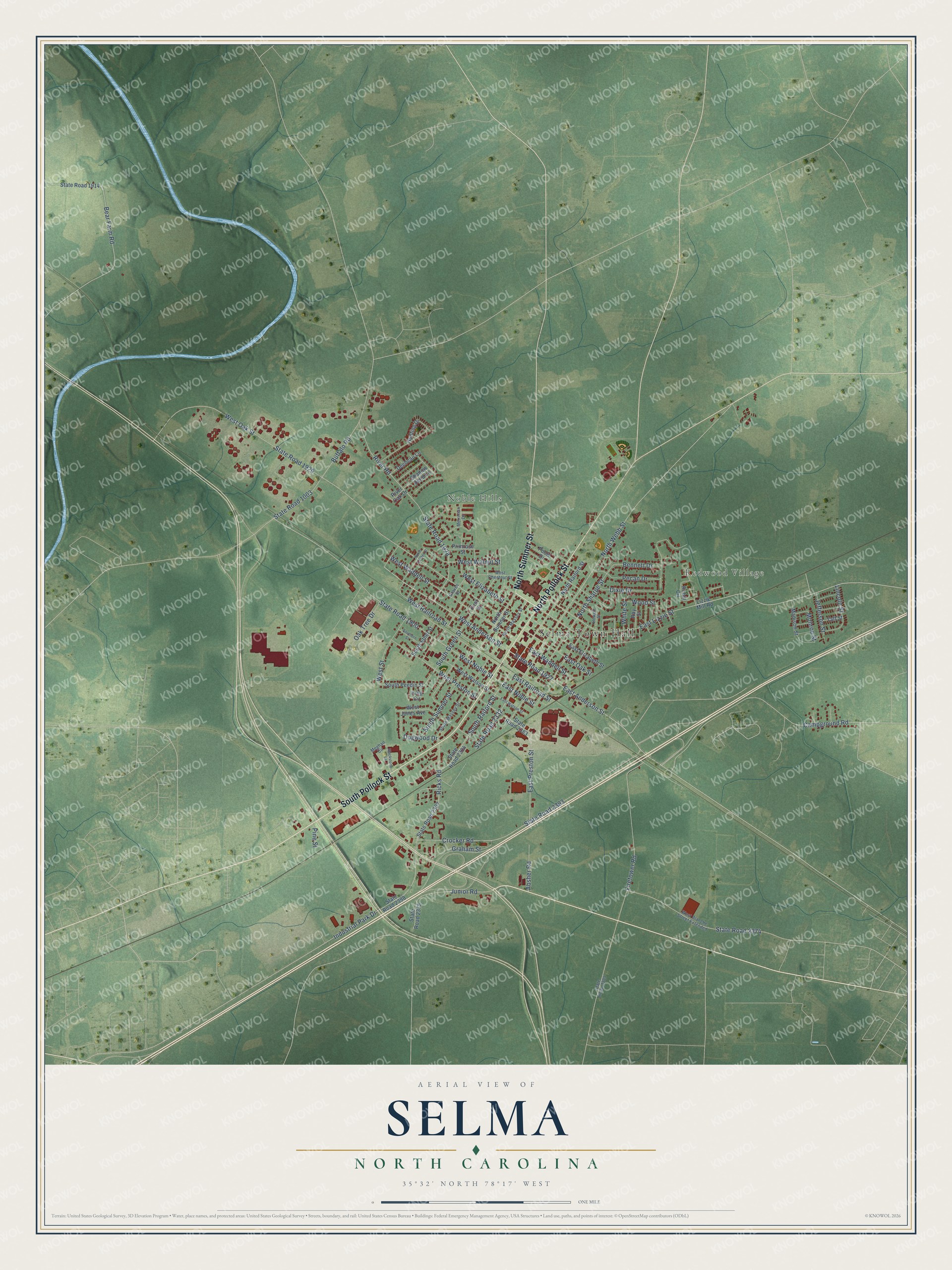
This beautifully detailed map of Selma, North Carolina was created in 2026 using aerial imagery combined with modern topographical, census, street and landmark data. It's a modern aerial view of Selma in Johnston County, North Carolina, that combines modern data with a vintage aesthetic. The roads feature printed names, and if you look closely you can find your exact house accurately shown in its correct location.
Explore an aerial view of Selma, North Carolina
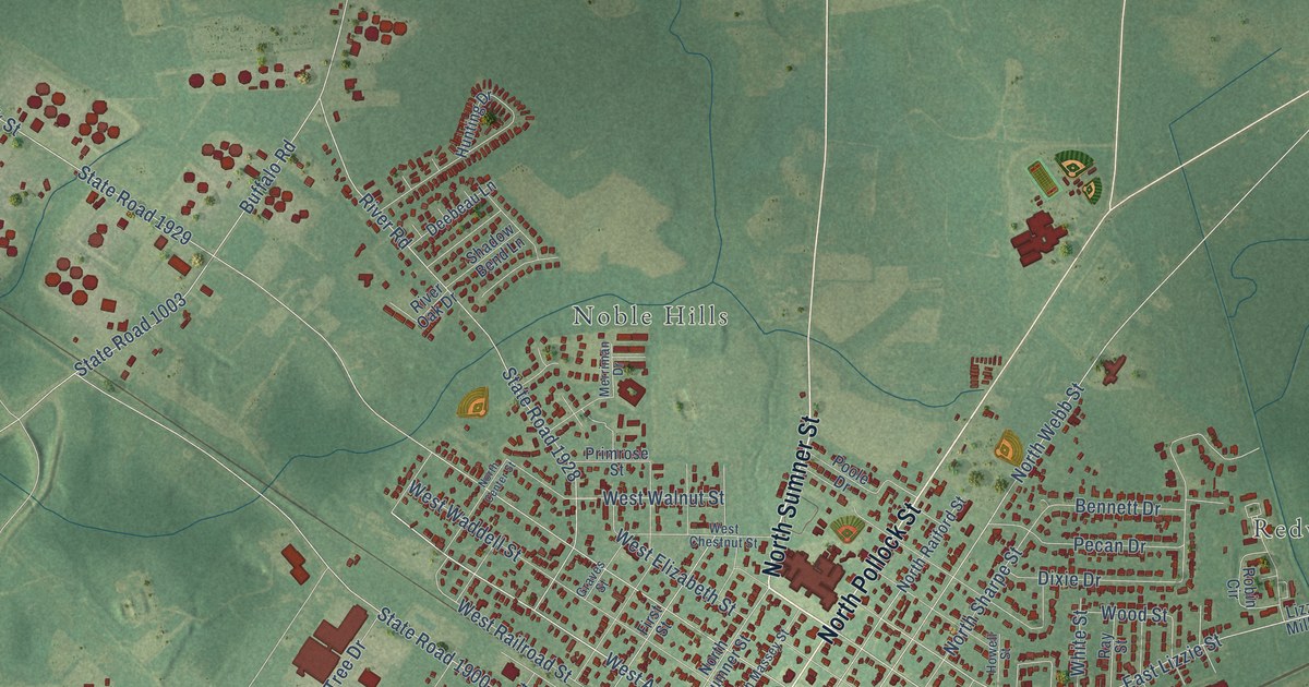
On this map you'll find Selma Town Hall, Noble Hills, Redwood Village, South Pollock Street, North Pollock Street, North Sumner Street, East Anderson Street, West Anderson Street, East Lizzie Street, South Raiford Street, South Green Street, West Railroad Street, and more. Each red shape is a building, so zoom in on the preview and look for yours.
Every town has a first chapter, and Selma is no exception. The North Carolina Gazetteer puts it this way: "Selma town in central Johnston County. Known first as Mitchenor's Station for John Mitchenor. Inc. as Selma, 1873; named for the town of the same name in Alabama."
Selma is a town in Johnston County. The Census Bureau counted 6,317 people here in 2020.
Take a closer look at the Selma map
Names on this map
These names are printed on this map.
Places: Selma Town Hall, Noble Hills and Redwood Village.
Streets and roads: South Pollock Street, North Pollock Street, North Sumner Street, East Anderson Street, West Anderson Street, East Lizzie Street, South Raiford Street, South Green Street, West Railroad Street, North Sharpe Street, Ricks Road, East Noble Street.
More street names, A to Z
Absher Road, Bear Farm Road, Bennett Drive, Blackstone Lane, Buffalo Road, Campground Road, Crocker Road, Deebeau Lane, Dixie Drive, Dogwood Drive, East Elizabeth Street, East Oak Street, East Preston Street, East Railroad Street, East Waddell Street, East Watson Street, Firetower Road, First Street, Graham Street, Graves Street, Howell Street, Hunting Drive, Industrial Park Drive, Jefferson Street, Junior Road, King Circle, Lincoln Street, Lizzie Mill Road, Madison Street, Meghan Circle, Merriman Drive, Monroe Street, North Center Street, North Massey Street, North Raiford Street, North Webb Street, Oak Tree Drive, Pecan Drive, Pine Street, Poole Drive, Primrose Street, Ray Street, River Oak Drive, River Road, Robin Circle, Shadow Bend Lane, Southern Street, South Ethel Street, South Massey Street, South Peedin Street, South Sumner Street, State Road 1003, State Road 1900, State Road 1914, State Road 1927, State Road 1928, State Road 1929, State Road 2302, State Road 2304, State Road 2305, State Road 2332, State Road 2374, State Road 2375, State Road 2383, State Road 2393, State Road 2398, Taft Street, West Blanche Street Extended, West Chestnut Street, West Elizabeth Street, West Jones Avenue, West Noble Street, West Oak Street, West Preston Street, West Street, West Waddell Street, West Walnut Street, West Watson Street, White Street, Wood Street.
Created by KNOWOL in 2026. The buildings are small red shapes, the roads carry their printed names, and shaded relief shows the shape of the land. The title panel reads "AERIAL VIEW OF SELMA NORTH CAROLINA" with 35°32' NORTH 78°17' WEST.
Hang it in the hallway, the office or the cabin, or give it to someone who left Selma and still calls it home. Open the preview and look for a street you know. See sizes and frames for the Selma map.