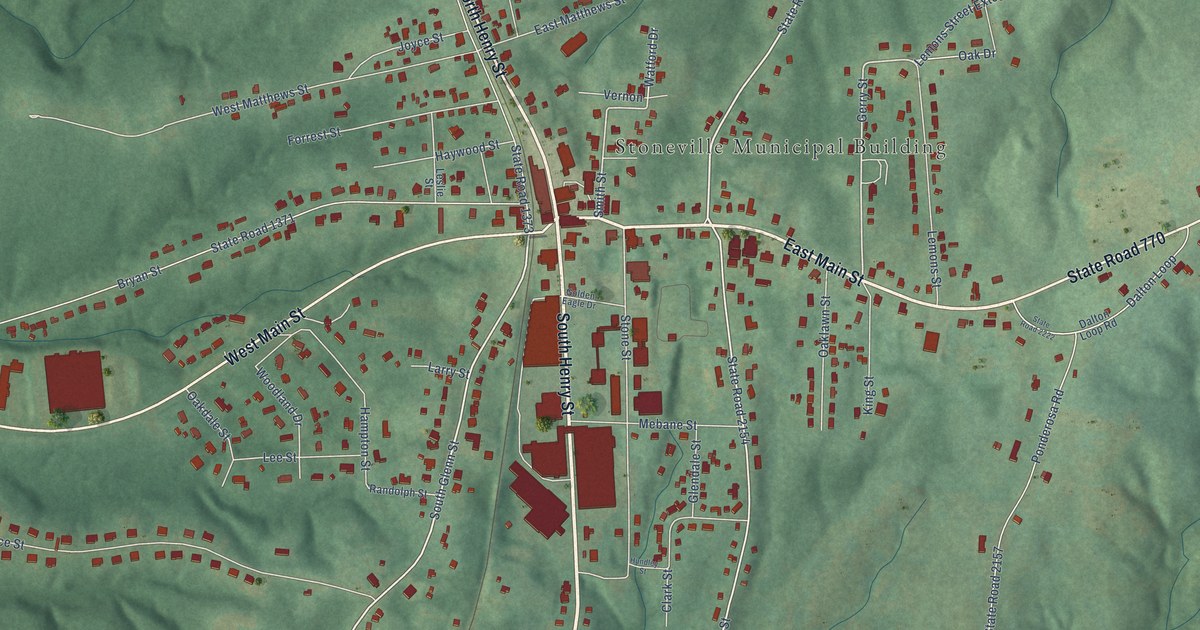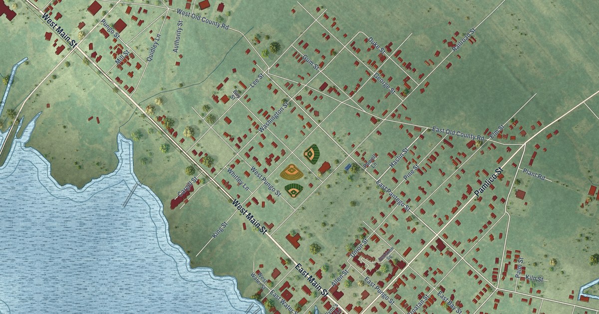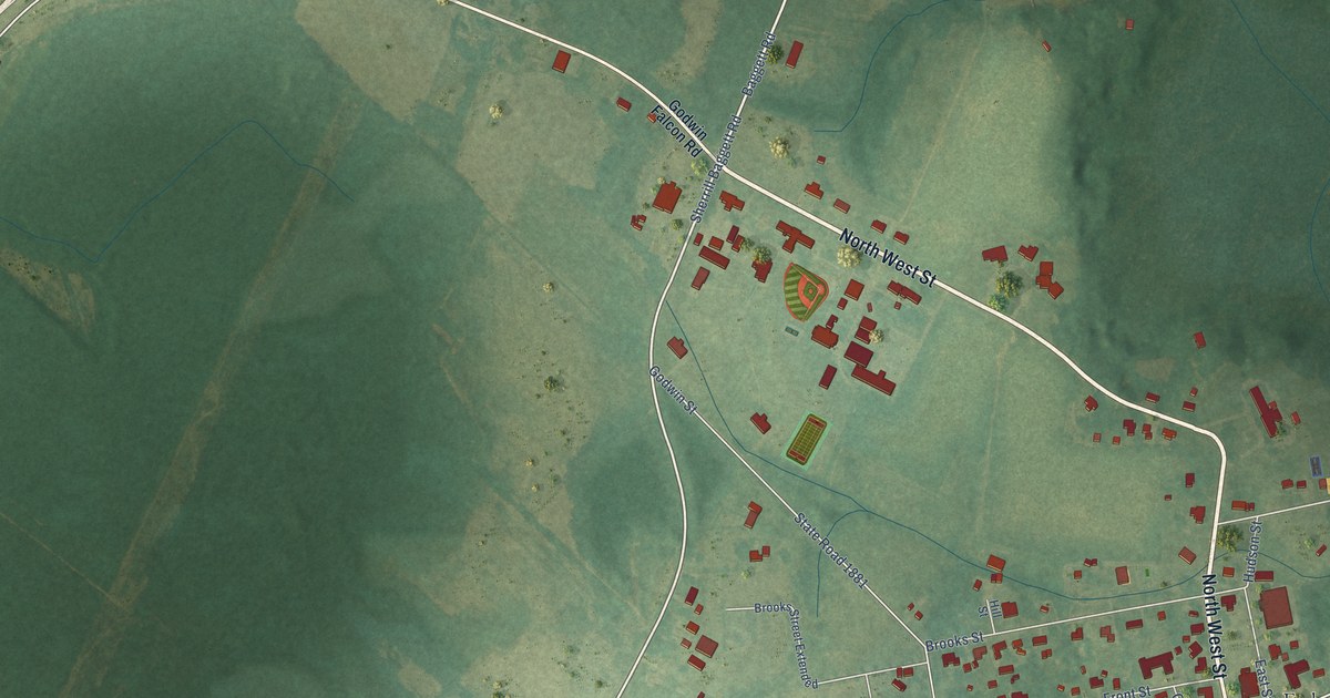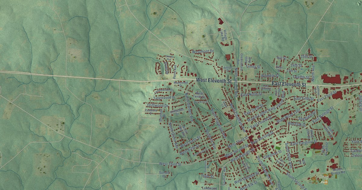
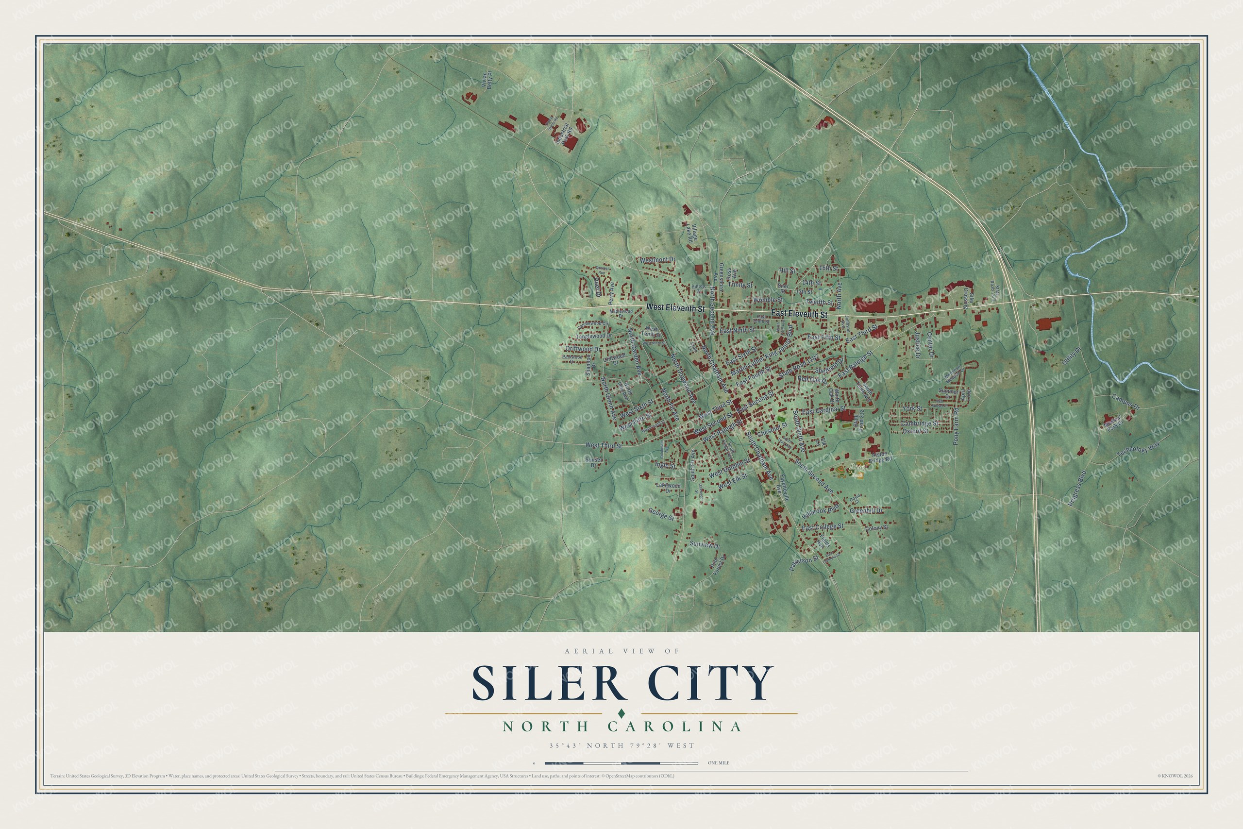
This beautifully detailed map of Siler City, North Carolina was created in 2026 using aerial imagery combined with modern topographical, census, street and landmark data. It's a modern aerial view of Siler City in Chatham County, North Carolina, that combines modern data with a vintage aesthetic. The roads feature printed names, and if you look closely you can find your exact house accurately shown in its correct location.
Explore an aerial view of Siler City, North Carolina
On this map you'll find Bray Park, West Eleventh Street, East Eleventh Street, East Raleigh Street, South Chatham Avenue, Martin Luther King Junior Boulevard, West Raleigh Street, North Chatham Avenue, West Third Street, Center Drive, North Fir Avenue, East Fifth Street, and more. Each red shape is a building, so zoom in on the preview and look for yours.
Here is a piece of Siler City history, in the words of the record. The North Carolina Gazetteer puts it this way: "Known first as Matthews Cross Roads because it was at the junction of the Raleigh-Salisbury and Fayetteville-Greensboro plank roads. Later known as Siler's Store and Siler's Station. Post office est. there in 1880 as Energy; changed to Siler City in 1884."
Siler City is a town in Chatham County. The Census Bureau counted 7,702 people here in 2020.
Take a closer look at the Siler City map
Names on this map
These names are printed on this map.
Places: Bray Park.
Streets and roads: West Eleventh Street, East Eleventh Street, East Raleigh Street, South Chatham Avenue, Martin Luther King Junior Boulevard, West Raleigh Street, North Chatham Avenue, West Third Street, Center Drive, North Fir Avenue, East Fifth Street, North Glenn Avenue.
More street names, A to Z
13th Street, 14th Street, 15th Street, Alston Bridge Road, April Loop, Cambridge Street, Campus Drive, Candlewood Circle, Chestnut Street, Cliftwood Drive, Colchester Avenue, Colony Street, Craft Lane, Dowd Street, Driftwood Drive, Duet Drive, East Cardinal Street, East College Street, East Fourth Street, East Ninth Street, East Olympia Street, East Second Street, East Sixth Street, East Tenth Street, East Third Street, Elk Lane, Fayetteville Avenue, Fields Avenue, George Street, Greenhill Drive, Greensboro Avenue, Hamp Stone Road, Hillbrook Boulevard, Hill Street, Hilltop Drive, Industrial Park Road, Ingle Street, Johnson Avenue, Justice Drive, Lakewood Drive, Maplewood Drive, Medical Park Drive, Moonrise Meadow Drive, North Avenue, North Dogwood Avenue, North Fifth Avenue, North Garden Avenue, North Ivey Avenue, North Second Avenue, Oakwood Street, Oxford Street, Parkwood Drive, Patterson Street, Perry Avenue, Pine Forest Drive, Pony Farm Road, Progress Boulevard, Quartet Run, Red Oak Drive, Red Sunset Place, Ross Avenue, Shannon Drive, Sheffield Drive, Siler Crossing, Siler Street, South Cedar Avenue, South Fir Avenue, South Second Avenue, South Sixth Avenue, South Tenth Avenue, South Third Avenue, State Road 212, State Road 1107, State Road 1373, Summer Drive, Sunset Drive, Sunview Drive, Tanglewood Drive, Technology Way, Trinity Street, Twelfth Street, Utility Drive, Village Lake Road, Vivian Betty Place, West Dolphin Street, West Elk Street, West Fifth Street, West Fourth Street, Westmont Drive, West Ninth Street, West Second Street, West Sixth Street, West Tenth Street, White Oak Drive, Womble Street, York Street.
Created by KNOWOL in 2026. The buildings are small red shapes, the roads carry their printed names, and shaded relief shows the shape of the land. The title panel reads "AERIAL VIEW OF SILER CITY NORTH CAROLINA" with 35°43' NORTH 79°28' WEST.
It suits a den, a classroom or a front hall, and it makes a gift for anyone with Siler City roots. Open the preview and find the block you know. See sizes and frames for the Siler City map.