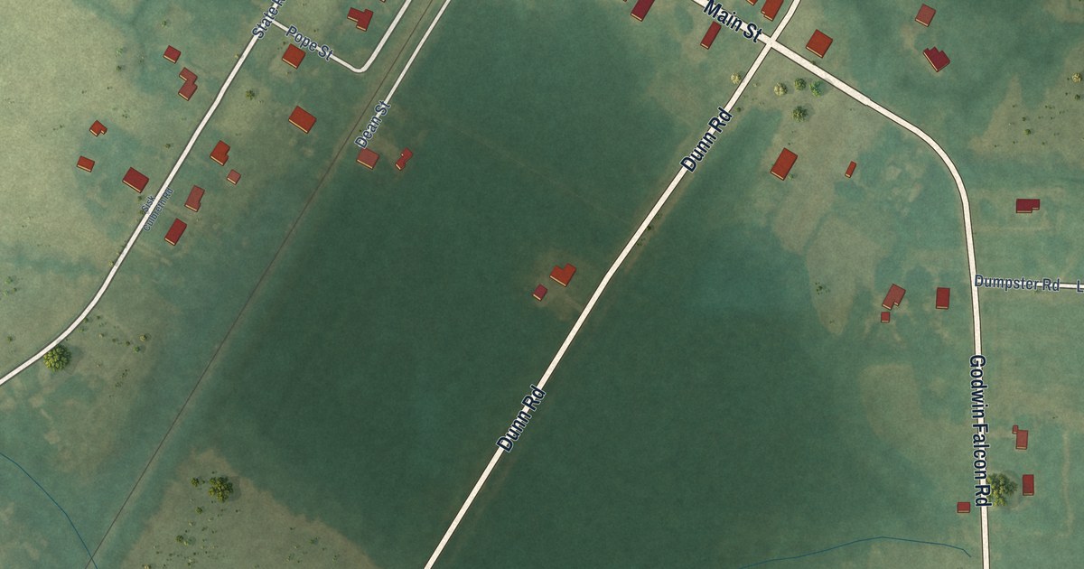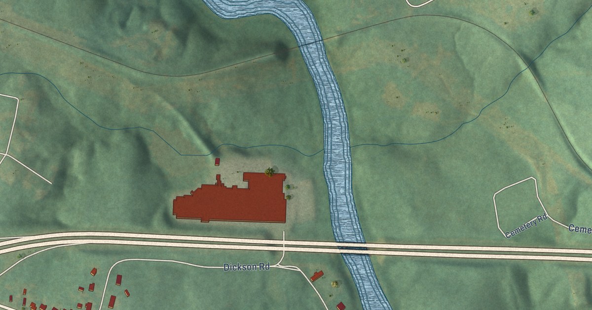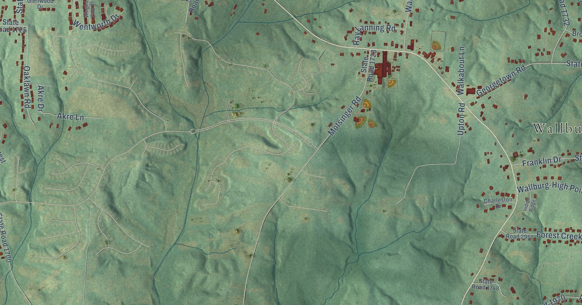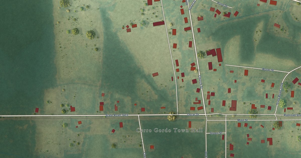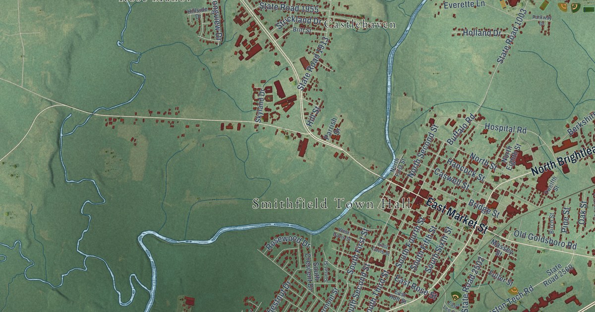
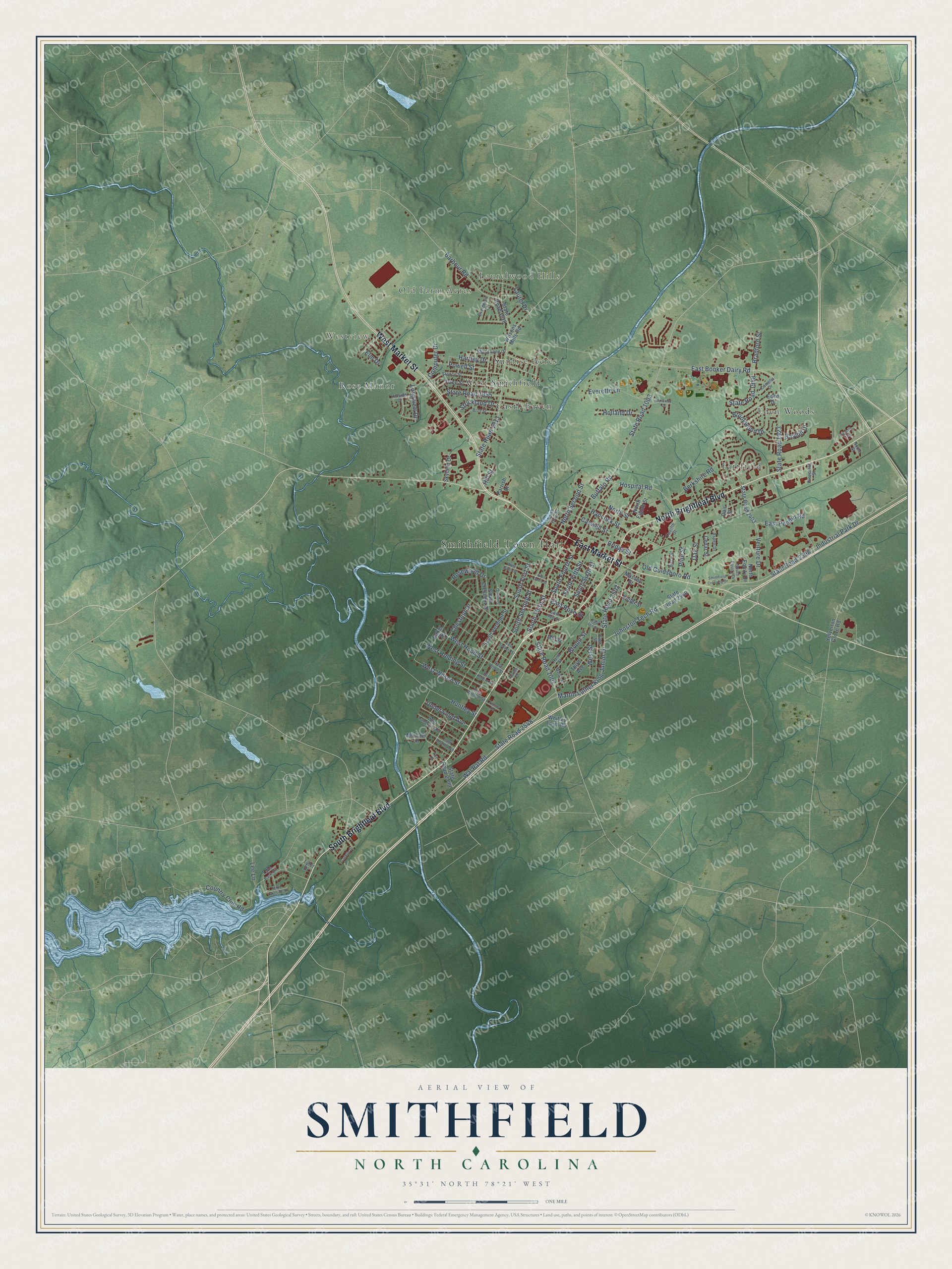
This beautifully detailed map of Smithfield, North Carolina was created in 2026 using aerial imagery combined with modern topographical, census, street and landmark data. It's a modern aerial view of Smithfield in Johnston County, North Carolina, that combines modern data with a vintage aesthetic. The roads feature printed names, and if you look closely you can find your exact house accurately shown in its correct location.
Explore an aerial view of Smithfield, North Carolina
On this map you'll find Smithfield Town Hall, Westview, Laurelwood Hills, Old Farm Acres, Rose Manor, Castlehaven, Eden Woods, Fairfield, Sunrise Acres, West Smithfield, South Brightleaf Boulevard, North Brightleaf Boulevard, and more. Each red shape is a building, so zoom in on the preview and look for yours.
Every town has a first chapter, and Smithfield is no exception. The North Carolina Gazetteer puts it this way: "County court first held at the site in August 1771, when it became the county seat. Known as Johnston Court House until 1777, when it was est. as Smithfield. Named for John Smith, owner of land on which the town developed. The legislature met there in 1779."
Smithfield is a town in Johnston County. The Census Bureau counted 11,292 people here in 2020.
Take a closer look at the Smithfield map
Names on this map
These names are printed on this map.
Places: Smithfield Town Hall, Westview, Laurelwood Hills, Old Farm Acres, Rose Manor, Castlehaven, Eden Woods, Fairfield, Sunrise Acres and West Smithfield.
Streets and roads: South Brightleaf Boulevard, North Brightleaf Boulevard, West Market Street, East Market Street, South First Street, West Wilson Street, South Second Street, North Second Street, Martin Luther King Junior Drive, South Third Street, Johnston Tech Road, State Road 1007.
More street names, A to Z
Aspen Drive, Baker Street, Barbour Road, Bayhill Drive, Berkshire Road, Birch Street, Blount Street, Bradford Street, Bridge Street, Britt Street, Brookwood Drive, Buffalo Road, Camelia Drive, Caswell Street, Cedar Street, Chestnut Drive, Computer Drive, Country Club Road, Dail Street, East Booker Dairy Road, East Davis Street, East Heath Avenue, East Holding Street, East Holt Street, East Hood Street, East Lee Street, East Peedin Road, East Rose Street, East Sanders Street, East Street, East Wilson Street, Eden Drive, Elm Drive, Everette Lane, Evergreen Lane, Fieldale Drive, Finney Drive, Forbes Drive, Franklin Drive, Fuller Street, Hancock Street, Hartley Drive, Hillside Drive, Hill Street, Holland Drive, Hospital Road, Huntley Street, Industrial Park Drive, Kay Drive, Lake Park Circle, Laurel Drive, Lee Lane, Longview Drive, Martin Street, Massey Street, Michael Lane, Mill Street, Noble Street, North Eighth Street, North Equity Drive, North First Street, North Lakeside Drive, North Street, Oak Street, Old Goldsboro Road, Pace Street, Parkway Drive, Parrish Drive, Pinecrest Street, Pine Street, Powell Street, Rand Street, Rosewood Drive, Shady Lane Drive, Skyland Drive, Smithfield Crossing Drive, South Crescent Drive, South Equity Drive, South Fifth Street, South Fourth Street, South Sixth Street, South Vermont Street, Stancil Street, State Road 1003, State Road 1913, State Road 1918, State Road 1923, State Road 1955, State Road 1988, State Road 2398, State Road 2403, State Road 2500, State Road 2502, State Road 2548, State Road 2560, Strickland Drive, Sunset Street, Third Avenue, Twelfth Street, Tyler Drive, Underwood Avenue, Venture Drive, Wal Pat Road, West Davis Street, West Holding Street, West Hood Street, West Langdon Avenue, West Street, Whitley Farm Road, Wilsons Mills Road, Yelverton Grove Road.
Created by KNOWOL in 2026. The buildings are small red shapes, the roads carry their printed names, and shaded relief shows the shape of the land. The title panel reads "AERIAL VIEW OF SMITHFIELD NORTH CAROLINA" with 35°31' NORTH 78°21' WEST.
Hang it in the hallway, the office or the cabin, or give it to someone who left Smithfield and still calls it home. Open the preview and look for a street you know. See sizes and frames for the Smithfield map.