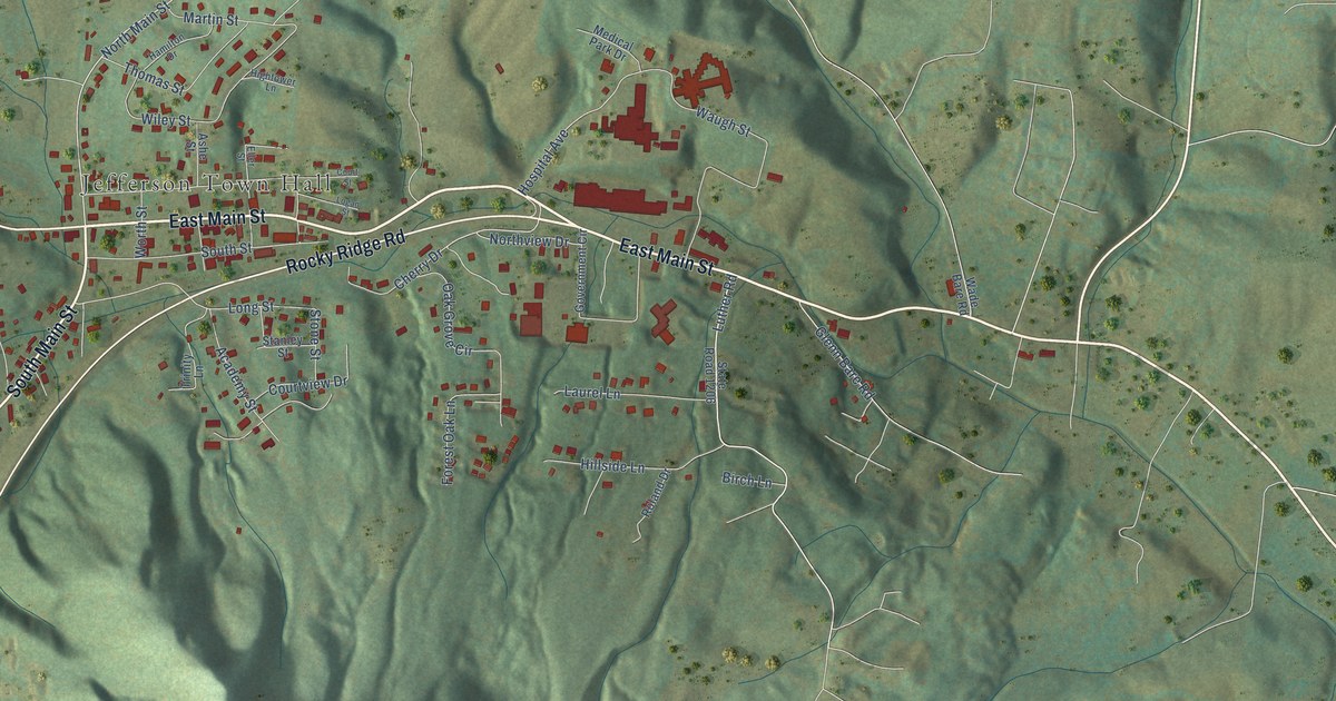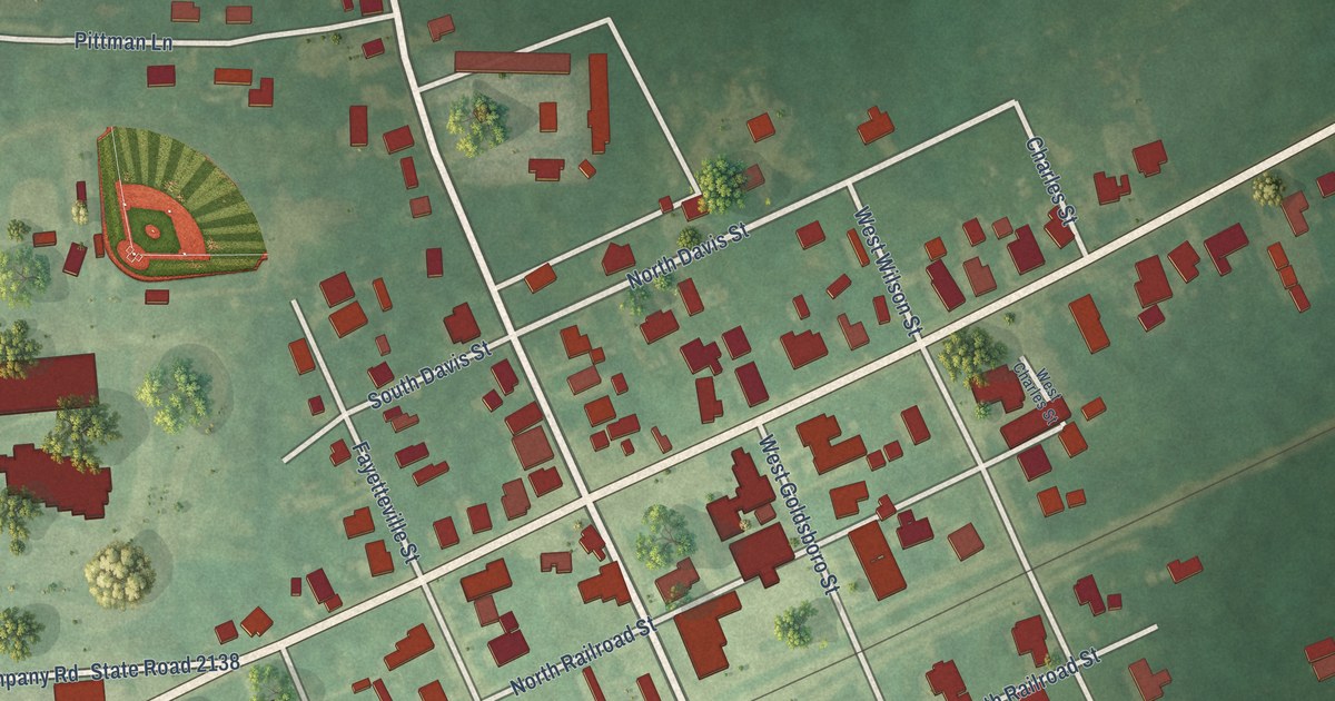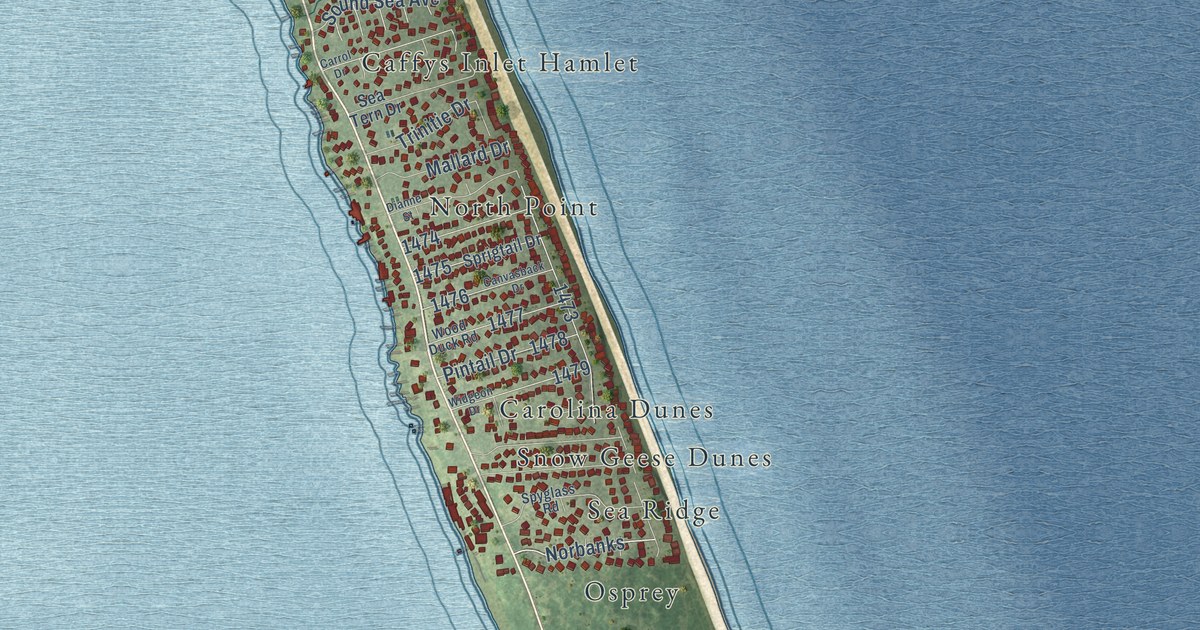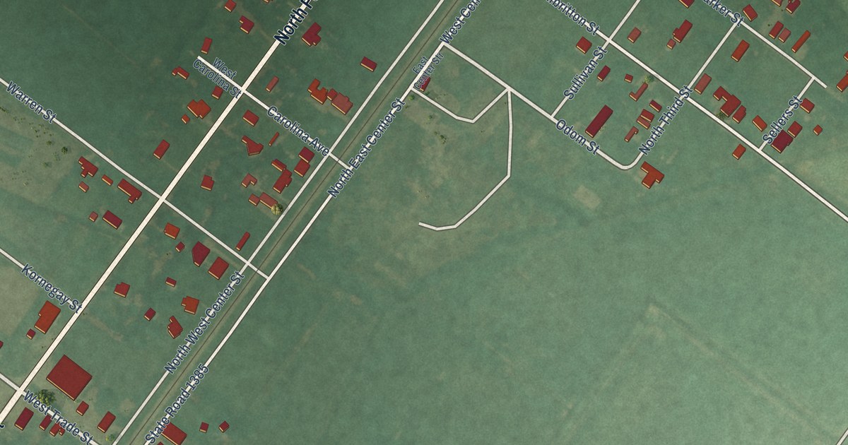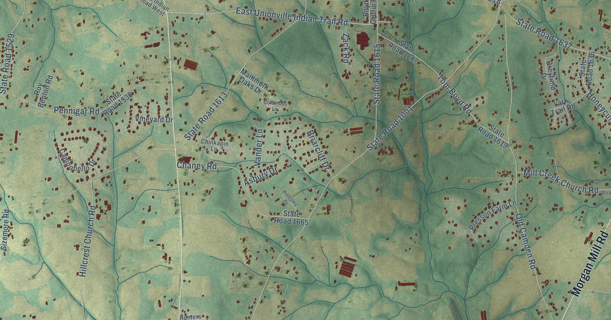
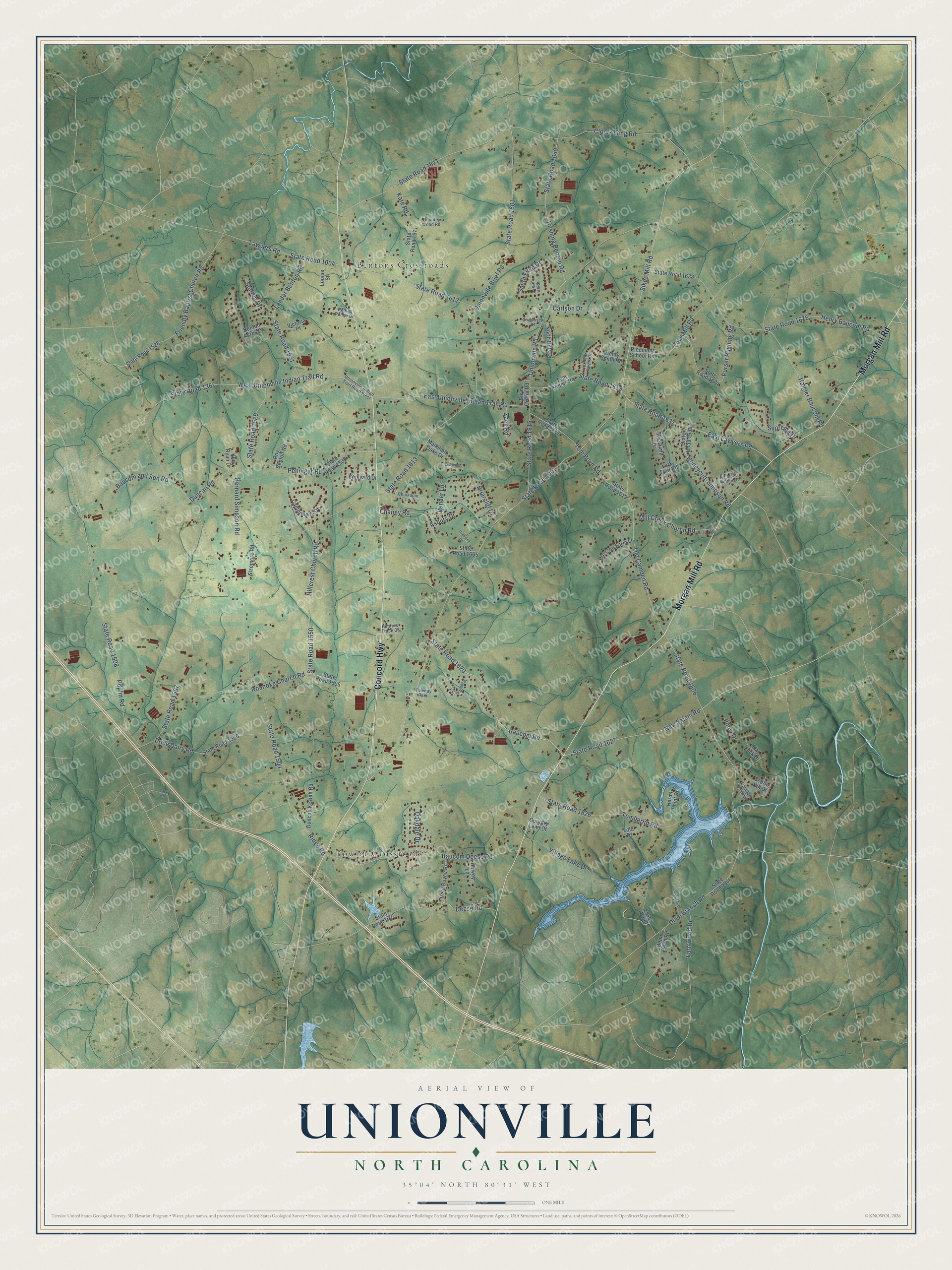
This beautifully detailed map of Unionville, North Carolina was created in 2026 using aerial imagery combined with modern topographical, census, street and landmark data. It's a modern aerial view of Unionville in Union County, North Carolina, that combines modern data with a vintage aesthetic. The roads feature printed names, and if you look closely you can find your exact house accurately shown in its correct location.
Explore an aerial view of Unionville, North Carolina
On this map you'll find Bentons Crossroads, Fowler Crossroads, Morgan Mill Road, Concord Highway, State Road 1606, State Road 1001, Baucom Road, State Road 1620, New Salem Road, State Road 1637, West Unionville Indian Trail Road, State Road 1504, and more. Each red shape is a building, so zoom in on the preview and look for yours.
Here is a piece of Unionville history, in the words of the record. The Town of Unionville puts it this way: "History started with the Unionville Presbyterian Church. It was established in 1915 at the intersection of Unionville Road and Unionville-Indian Trail Road. For years, the two churches on this block were synonymous with the Unionville Community."
Unionville is a town in Union County. The Census Bureau counted 6,643 people here in 2020.
Take a closer look at the Unionville map
Names on this map
These names are printed on this map.
Places: Bentons Crossroads, Fowler Crossroads and Fairway Park.
Streets and roads: Morgan Mill Road, Concord Highway, State Road 1606, State Road 1001, Baucom Road, State Road 1620, New Salem Road, State Road 1637, West Unionville Indian Trail Road, State Road 1504, Sikes Mill Road, Ridge Road.
More street names, A to Z
Asbury Drive, Back Road, Baucom and Son Road, Baucom Deese Road, Benton Acres Drive, Bernard Simpson Road, Boyd Griffin Road, Briarcliff Drive, Camden Oaks Lane, Campobello Drive, Carlson Drive, Chadwyck Drive, Chaney Road, Chinkapin Lane, Clontz Long Road, Columbus Lane, Cori Jon Drive, Country Land Court, Country Wood Road, Deese Road, Duncan Keziah Road, Duncan Road, East Lawyers Road, East Unionville Indian Trail Road, Essex Point, Farmwood Drive, Fisher Ridge Drive, Flat Rock Drive, Fola Drive, Friendly Baptist Church Road, Greyfield Drive, Haigler Baucom Road, Harvey Lane, Helms Pond Road, Henry Baucom Road, Henry Smith Road, Heron Point Drive, Highland Pointe Drive, Hillcrest Church Road, Honeycutt-Simpson Road, Hunters Trace Drive, Kate Road, Ken Ryan Drive, Lander Benton Road, Lark Trail Road, Lawyers Road, Louise Street, Love Mill Road, Loxdale Farms Drive, Mammoth Oaks Drive, Mill Creek Church Road, Neal Boyce Road, North Hills Drive, Oakdale Drive, Old Camden Road, Olive Branch Road, Pennigar Road, Piedmont School Road, Piney Drive, Poplin Road, Pressley Drive, Presson Farm Lane, Price Dairy Road, Purser Rushing Road, Roanoke Church Road, Rollins Pointe Drive, Roy Benton Road, Rushing Benton Road, Scuffie Hill Drive, Sizemore Road, Smith Field Drive, State Road 1004, State Road 1006, State Road 1367, State Road 1505, State Road 1506, State Road 1507, State Road 1508, State Road 1528, State Road 1529, State Road 1530, State Road 1531, State Road 1550, State Road 1601, State Road 1611, State Road 1612, State Road 1613, State Road 1615, State Road 1617, State Road 1618, State Road 1619, State Road 1622, State Road 1626, State Road 1627, State Road 1634, State Road 1636, State Road 1638, State Road 1640, State Road 1665, State Road 1671, State Road 1674, State Road 1676, Station Drive, Supreme Drive, Tomberlin Road, Tom Boyd Road, Tom Helms Road, Unionville Brief Road, Unionville Indian Trail Road West, Unionville Road, Vander Lane, Victoria Place, Village Lake Drive, Village Lane, Vineyard Drive, Zack Road.
Created by KNOWOL in 2026. The buildings are small red shapes, the roads carry their printed names, and shaded relief shows the shape of the land. The title panel reads "AERIAL VIEW OF UNIONVILLE NORTH CAROLINA" with 35°04' NORTH 80°31' WEST.
It suits a den, a classroom or a front hall, and it makes a gift for anyone with Unionville roots. Open the preview and find the block you know. See sizes and frames for the Unionville map.