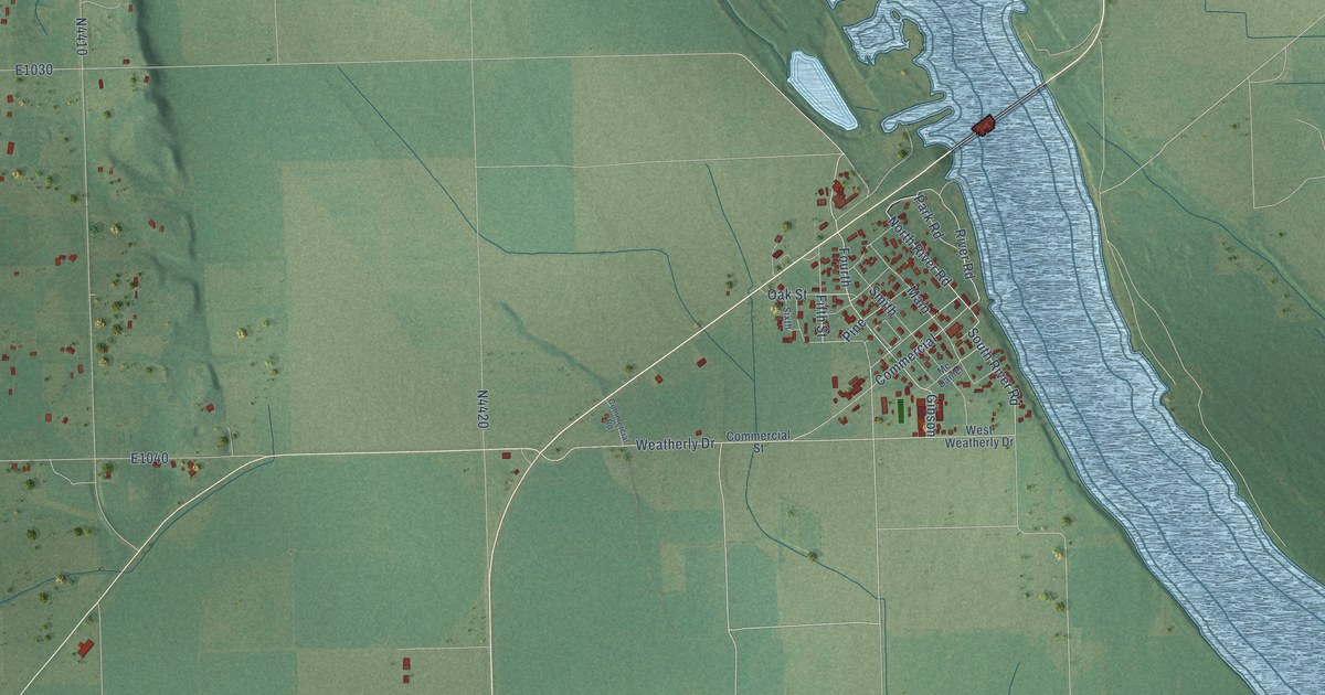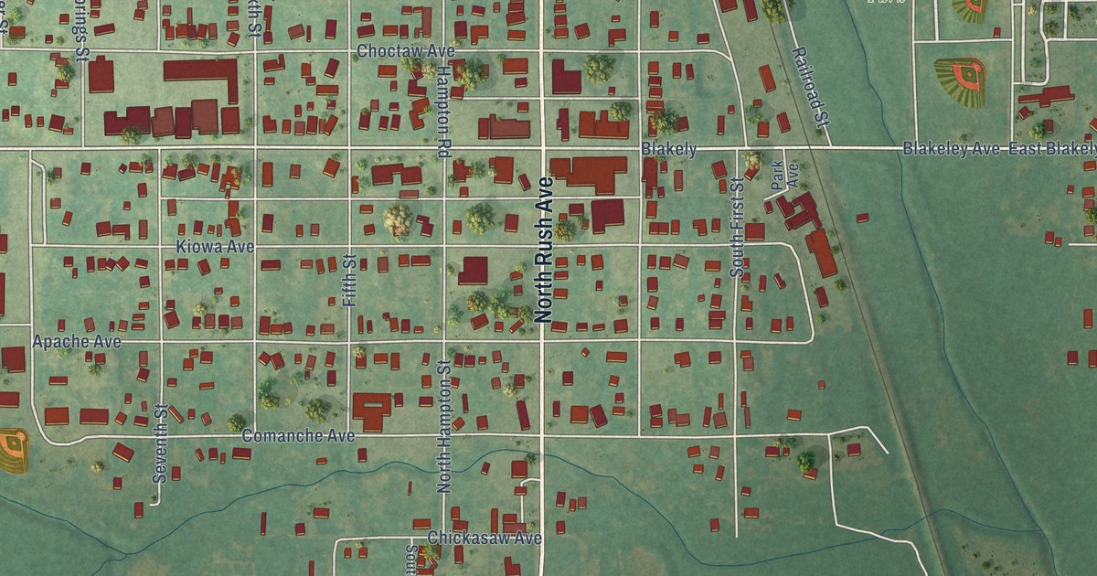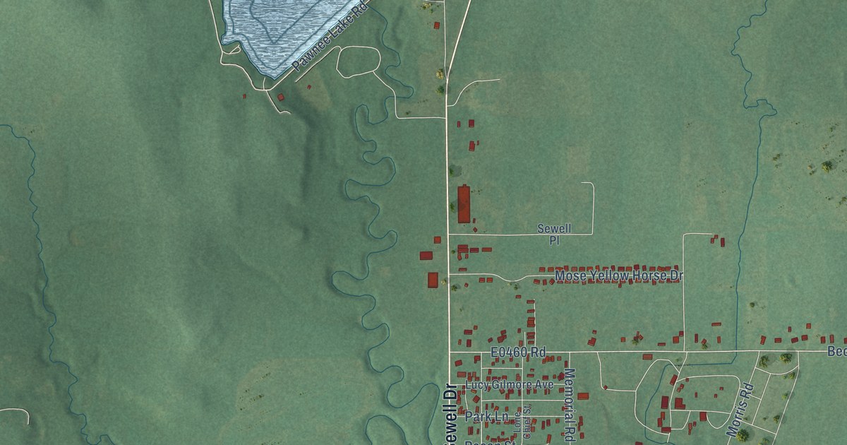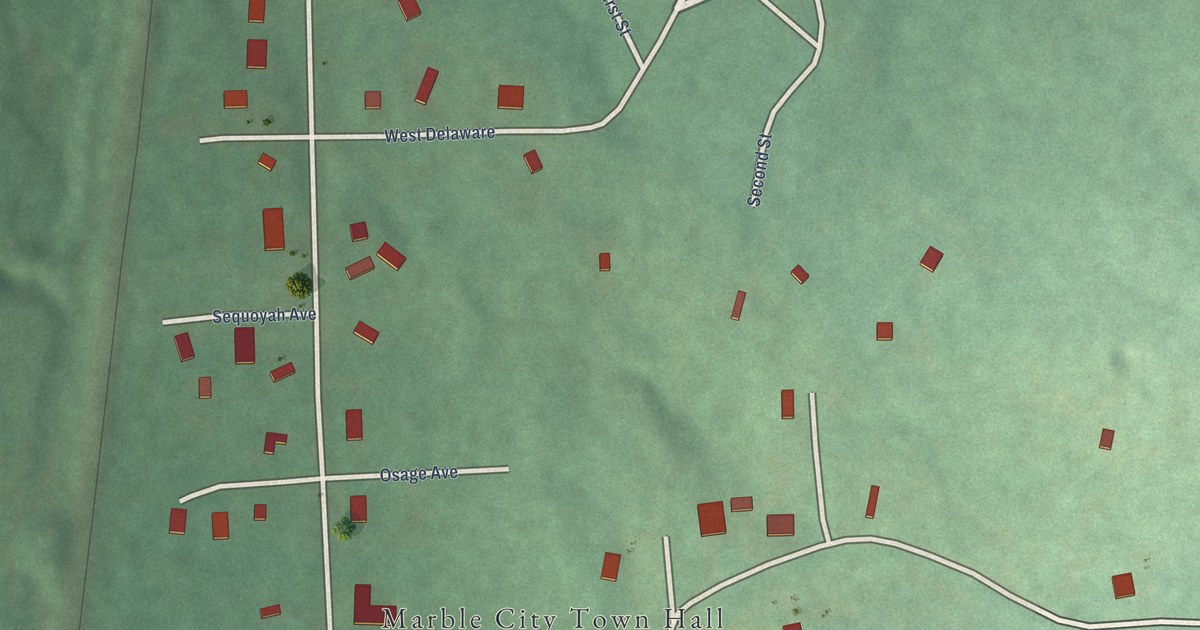
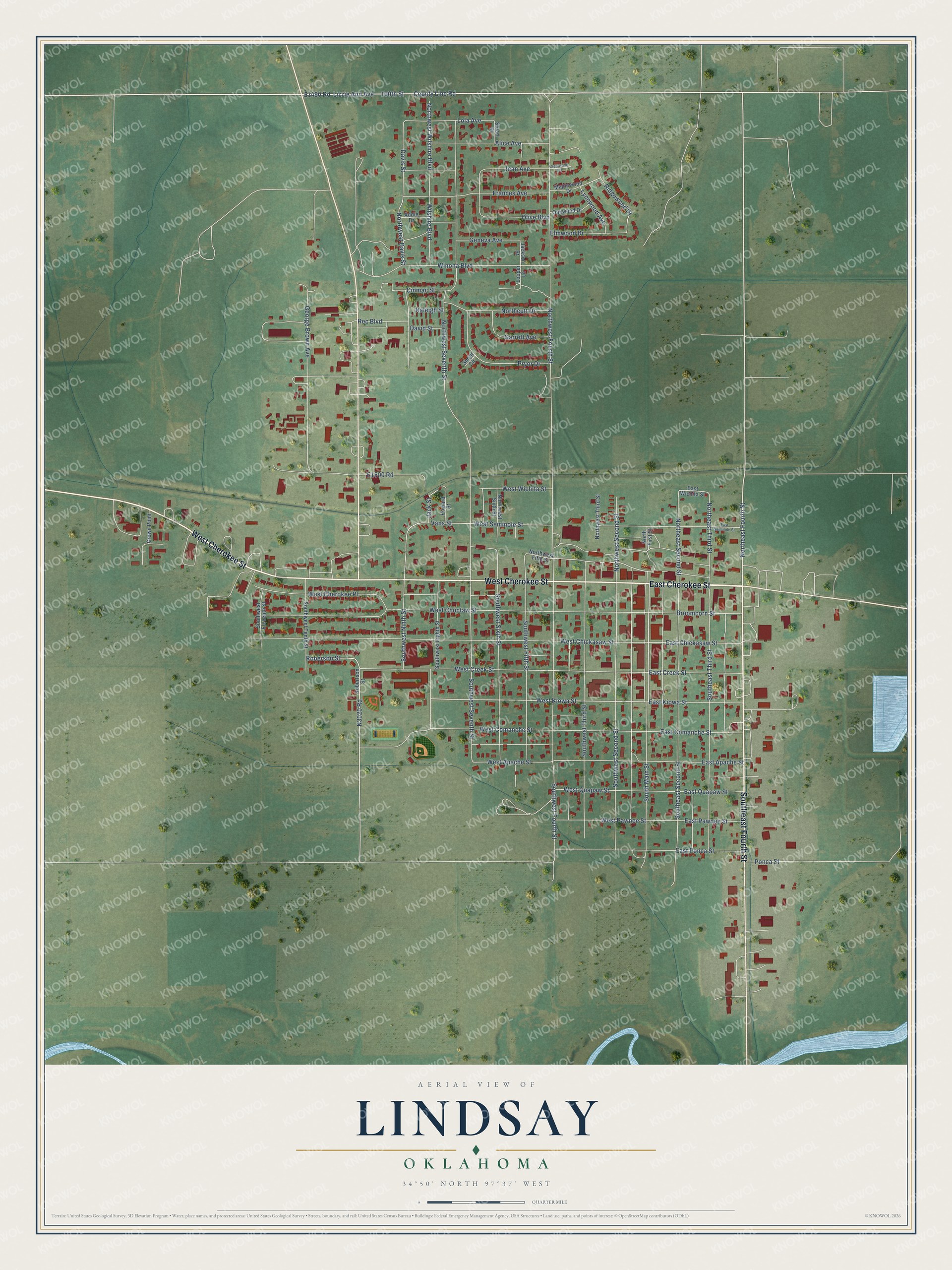
This beautifully detailed map of Lindsay, Oklahoma was created in 2026 using aerial imagery combined with modern topographical, census, street and landmark data. It's a modern aerial view of Lindsay in Garvin County, Oklahoma, that combines modern data with a vintage aesthetic. The roads feature printed names, and if you look closely you can find your exact house accurately shown in its correct location.
Explore an aerial view of Lindsay, Oklahoma
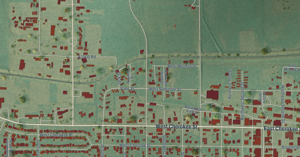
On this map you'll find East Cherokee Street, Southeast Fourth Street, West Cherokee Street, Lizzie Ann Avenue, Northeast Fourth Street, E1490 Road, South Main Street, 100th Street, County Line Road, West Kiowa Street, Roberson Street, East Chickasaw Street, and more. Each red shape is a building, so zoom in on the preview and look for yours.
Lindsay has a story worth telling. The record at okhistory.org puts it this way: "Lewis Lindsay, an area farmer, donated 440 acres for the townsite in January 1902, and the town was named in his honor."
Lindsay is a city in Garvin County.
Take a closer look at the Lindsay map
Names on this map
These names are printed on this map.
Streets and roads: East Cherokee Street, Southeast Fourth Street, West Cherokee Street, Lizzie Ann Avenue, Northeast Fourth Street, South Main Street, 100th Street, County Line Road, West Kiowa Street, Roberson Street, East Chickasaw Street, West Creek Street.
More street names, A to Z
Addie Drive, Alice Avenue, Broomcorn Street, Cinmac Street, Crestwood Terrace, Crown Point, David Street, Davis Street, East Apache Street, East Comanche Street, East Creek Street, East Kiowa Street, East Pawnee Street, East Ponca Street, East Quapaw Street, East Seminole Street, East Wichita Street, Elmwood Drive, Frances Avenue, Garrett Avenue, Geneva Avenue, George Brown Avenue, Howard Street, Jackson Street, Jack Street, Jean Avenue, Lola Avenue, Looper Lane, Lynnwood Avenue, Maplewood Drive, Northcutt Drive, Northeast Second Street, Northeast Third Street, North First Street, Northwest Davis Street, Northwest Fifth Street, Northwest Fourth Street, Northwest Second Street, Northwest Seventh Street, Northwest Sixth Street, Northwest Third Street, Northwest Wilshire Boulevard, Oakwood Drive, Olive Boulevard, Ponca Street, Pryor Drive, Raleigh Street, Rec Boulevard, Ridgewood Drive, Robertson Street, Smith Circle, Southeast Second Street, Southeast Third Street, Southwest Eighth Street, Southwest Eleventh Street, Southwest Fifth Street, Southwest Fourth Street, Southwest Ninth Street, Southwest Second Street, Southwest Seventh Street, Southwest Sixth Street, Southwest Tenth Street, Southwest Third Street, Stuart Street, Vans Street, West Apache Street, West Cherokee Place, West Chickasaw Street, West Choctaw Street, West Comanche Street, West Pawnee Street, West Quapaw Street, West Seminole Street, West Wichita Street, Wilshire Boulevard, Winona Boulevard.
Created by KNOWOL in 2026. The buildings are small red shapes, the roads carry their printed names, and shaded relief shows the shape of the land. The title panel reads "AERIAL VIEW OF LINDSAY OKLAHOMA" with 34°50' NORTH 97°37' WEST.
It looks right in a kitchen, an office or a den, and it's a gift for anyone who grew up in Lindsay or moved away. Open the preview and find your street. See sizes and frames for the Lindsay map.